Village · Guadalajara · 1,262 m
Setiles
Setiles, at around 1,260 metres on the border with Teruel, has lived alongside iron since Celtiberian times. In the early 20th century the Sierra Menera Mining Company began large-scale open-pit mining. It exceeded 900 inhabitants in 1950.
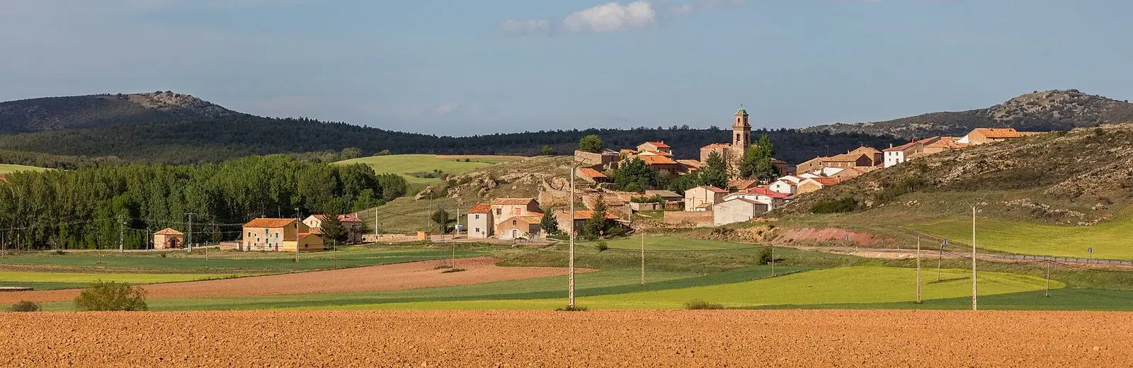
Traces in the village and its surroundings
Which eras you can read here
A single place can preserve traces from different eras. These layers connect what you see with the stories in the atlas.
What to see in Setiles
- The iron mines of Setiles, with their open-pit cuts and coloured lagoons.
- The laguna de Setiles.
A mining village
In Setiles, iron was extracted and forged as early as Celtiberian, Roman, and Andalusi times. In the early 20th century, Basque entrepreneurs Eduardo Aznar and Ramón de la Sota founded the Compañía Minera de Sierra Menera to exploit around 1,400 hectares between Setiles and Ojos Negros, and a railway carried the ore to Sagunto. Wages were modest and many miners supplemented their income with farm work. The mine halted between 1936 and 1941 due to the Civil War and closed definitively in the late 1980s with the shutdown of the blast furnaces in Sagunto.
Nearby
Tordellego, El Pobo de Dueñas, and El Pedregal, with its pairones.
Places in and around Setiles
Routes linked to Setiles
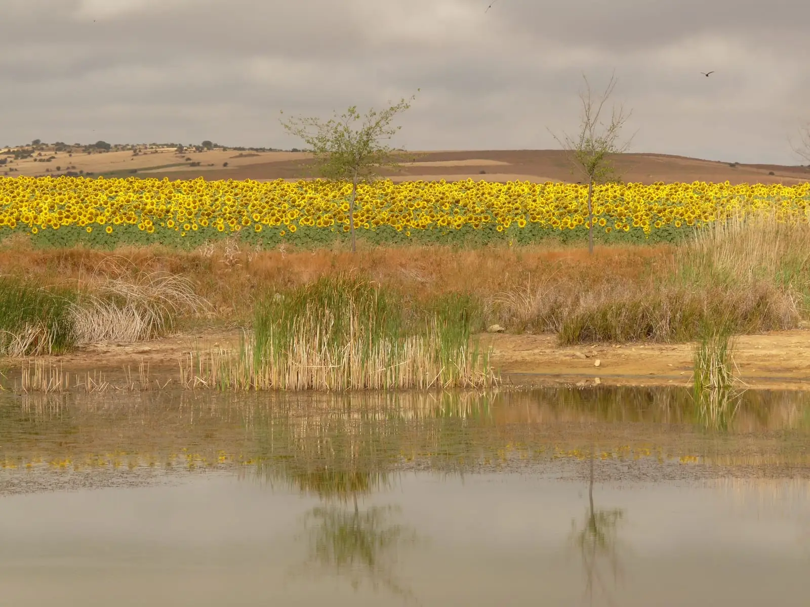
Near Setiles
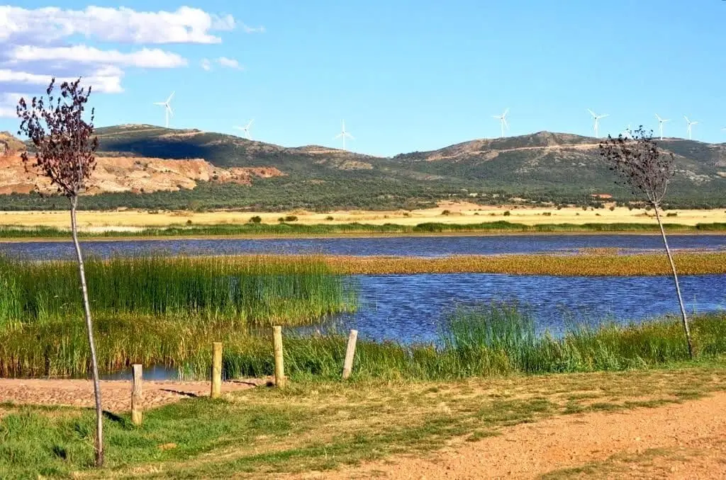
Setiles lagoon or Laguna de los Majanos
Ethnographic Museum of El Pobo de Dueñas
El Pobo de DueñasPairones of El Pedregal
El Pedregal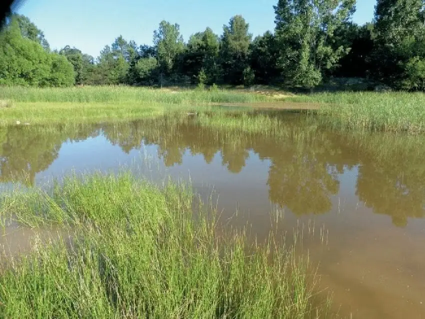
Tordesilos lagoon: birds on the eastern boundary
Tordesilos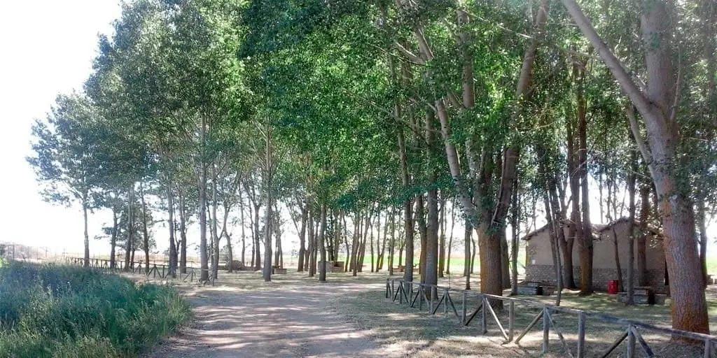
La Laguna recreation area (Tordesilos)
Tordesilos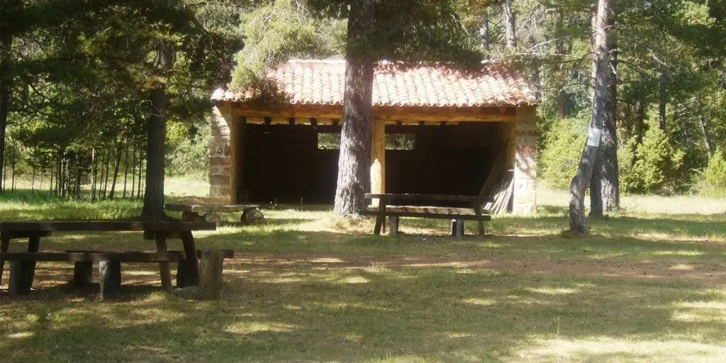
El Ojillo recreation area (Adobes)
Adobes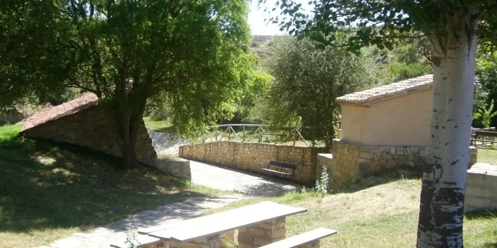
El Espinar recreation area (Adobes)
Adobes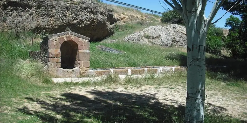
El Cañuelo recreation area (Adobes)
AdobesPopulation of Setiles, 1842–2021
Setiles reached a peak of 1,127 inhabitants in 1920 . In the 2021 census there were 86 , a decrease of 92%. This is the history told in the emptying of the Alto Tajo.
Climate in Setiles month by month
2015–2024 averages from Copernicus ERA5 reanalysis for an altitude of approx. 1,262 m. Useful for planning, not a substitute for live forecasts.
Location
● Reference point · ● Villages · ● Places
Location diagram. Detailed map with tracks and names loads on zoom.
Reference villages: Tordellego · El Pobo de Dueñas · El Pedregal · Tordesilos.
Open the full map and historical layers →