Recreation area · Adobes
El Espinar recreation area (Adobes)
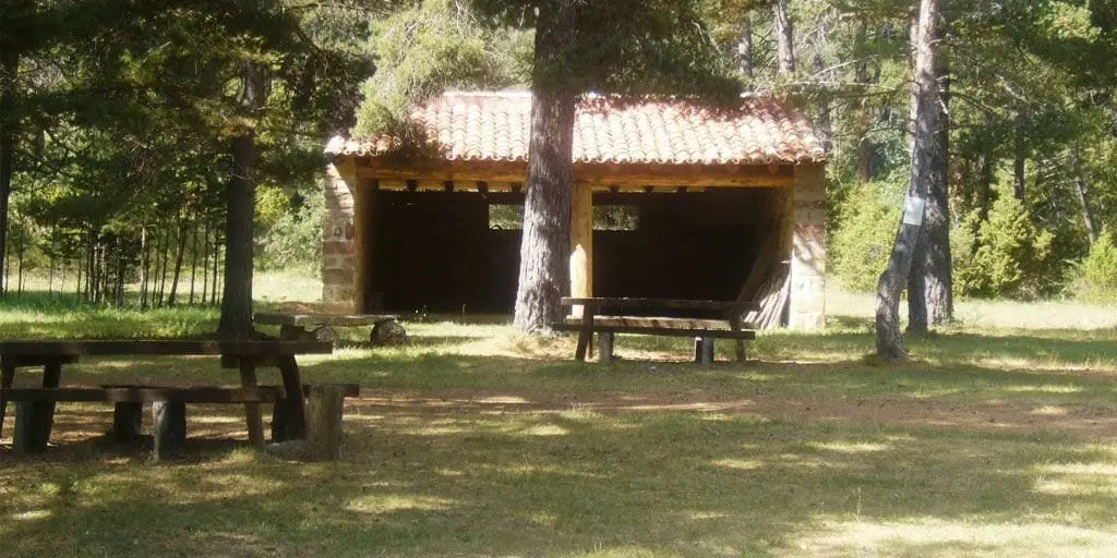
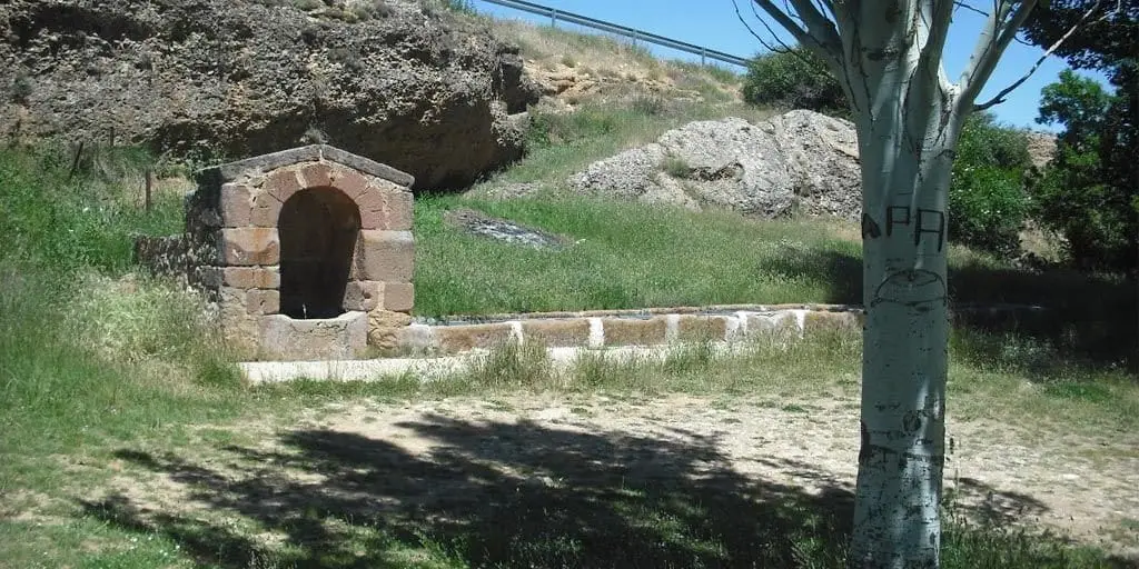
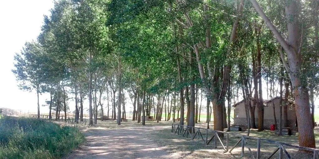
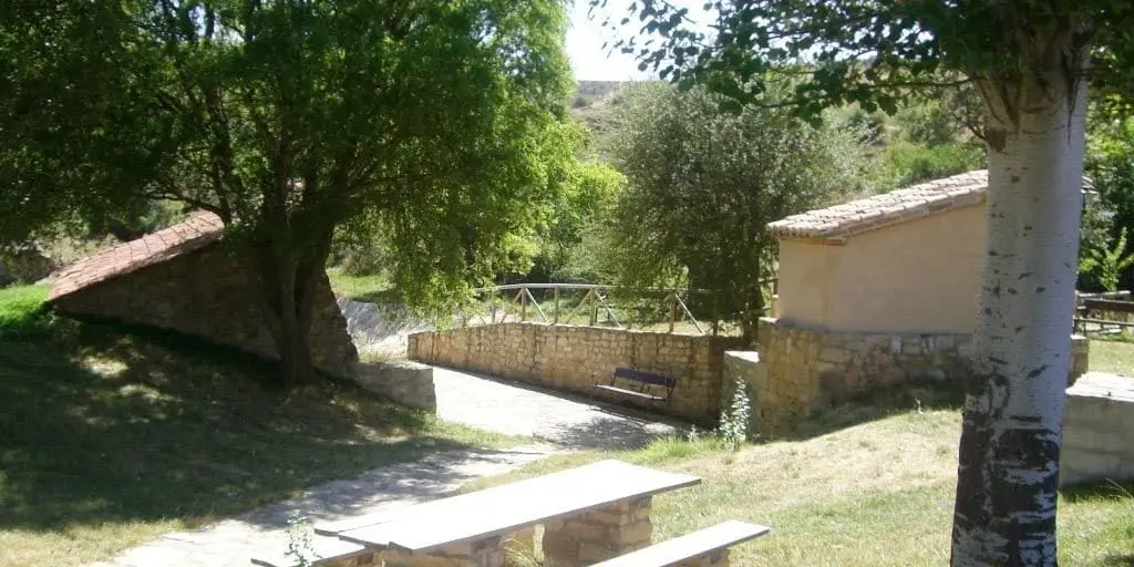
El Espinar is a recreation area about 2 km from Adobes, in a meadow with shade trees, tables, a spring fountain, and a small washhouse. Located in the southeastern corner of the Molina-Alto Tajo Geopark in the Sesma de la Sierra.
- Municipality
- Adobes
- Province
- Guadalajara
- Meadow
- Historic washhouse
- Geopark
A welcoming spot for a family lunch. Located in Adobes.
Good conduct
The Natural Park provides no rubbish collection service: carry all waste back to village bins. Lighting fires is permitted solely in authorised facilities and outside high-risk fire seasons; check current regulations.
Location
● Reference point · ● Villages · ● Places
Location diagram. Detailed map with tracks and names loads on zoom.
Approximate position: village centre.
Reference villages: Adobes · Piqueras · Tordellego · Alustante.
Open the full map and historical layers →