Water source · Tordesilos
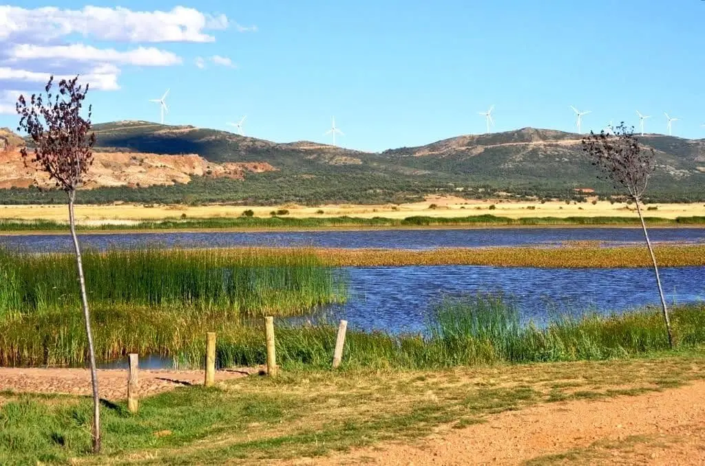
Tordesilos lagoon: birds on the eastern boundary
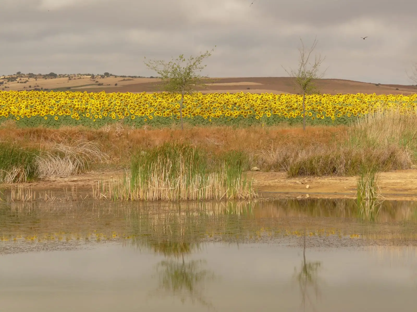
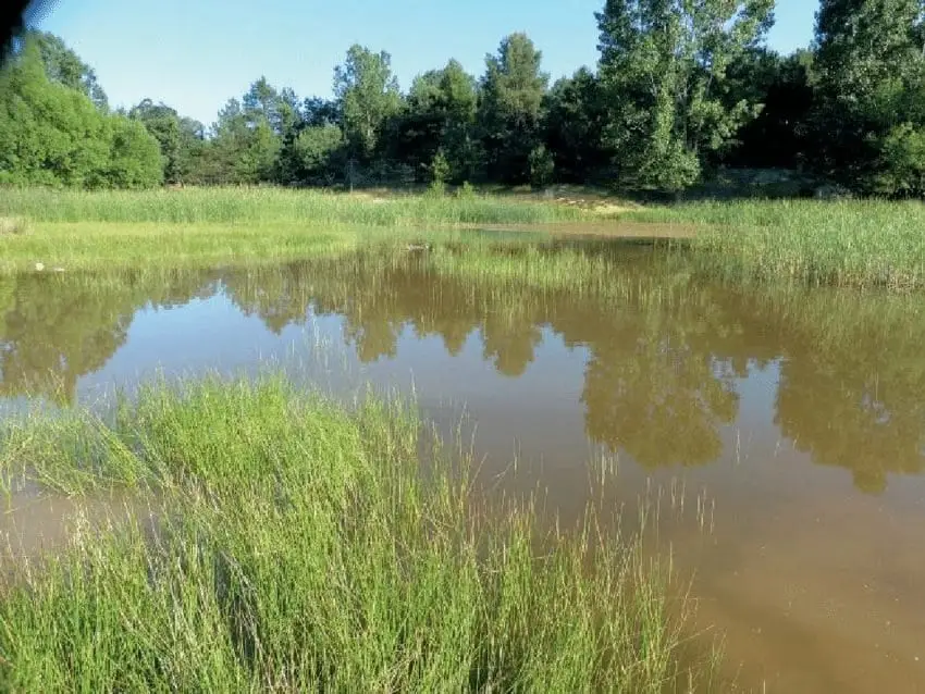
The Tordesilos lagoon is a seasonal wetland of about 1.5 hectares at 1,340 metres altitude, in a depression on Keuper clays and gypsum. Fed by rain and snowmelt, it usually dries out in summer. Waterbirds like mallards and coots nest here, and migrating cranes often stop over. A recreation area sits beside it.
- Best season
- Spring, when it holds the most water and birds are nesting; autumn for cranes.
- Municipality
- Tordesilos
- Province
- Guadalajara
- Seasonal lagoon
- Keuper
- Nesting birds
- Resting cranes
- Recreation area
A wetland on the clay
At 1,340 metres altitude, this seasonal lagoon of about 1.5 hectares fills a hollow on Keuper clays and gypsum. The impermeable clay keeps the water from seeping away, so winter rains and snowmelt linger for months before evaporating in summer.
Birdlife
In spring it is a nesting spot for mallards, common coots, and little grebes. In autumn and late winter, flocks of cranes flying to or from Gallocanta often land here to rest.
Beside it sits the La Laguna recreation area. It is in Tordesilos, on the easternmost edge of Guadalajara.
Location
● Reference point · ● Villages · ● Places
Location diagram. Detailed map with tracks and names loads on zoom.
Approximate position: village centre.
Reference villages: Tordesilos · Setiles · Adobes · Alustante.
Open the full map and historical layers →