Village · Guadalajara · 1,243 m
Tordellego
Tordellego is a small village around 1,240 metres in the south-east of the Señorío, between Setiles, Adobes and Anquela del Pedregal. It had around 216 residents in the mid-19th century, exceeded five hundred in 1950 and now has around fifty. It is a good base for the villages of the former Pedregal district and Sierra de Molina.
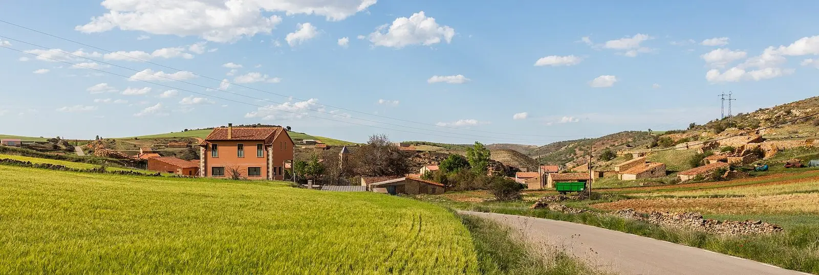
A high-altitude village
Tordellego stands at around 1,240 metres, in the cold lands of southeastern Molina. Madoz counted 216 inhabitants in the mid-19th century. The village grew to exceed 500 in 1950 and subsequently emptied, like so many settlements on the paramera. Today there are around fifty residents. Its population curve on this page records that history.
Nearby
- Setiles, less than five kilometres away, with the mines of Sierra Menera.
- Adobes, five kilometres away, on the way to the Sierra de Molina.
- Anquela del Pedregal and El Pobo de Dueñas.
Near Tordellego
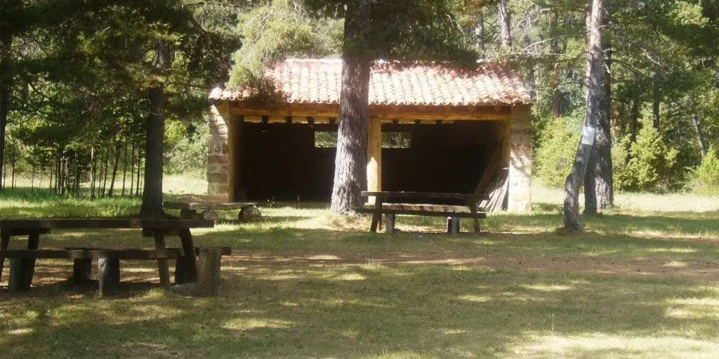
El Ojillo recreation area (Adobes)
Adobes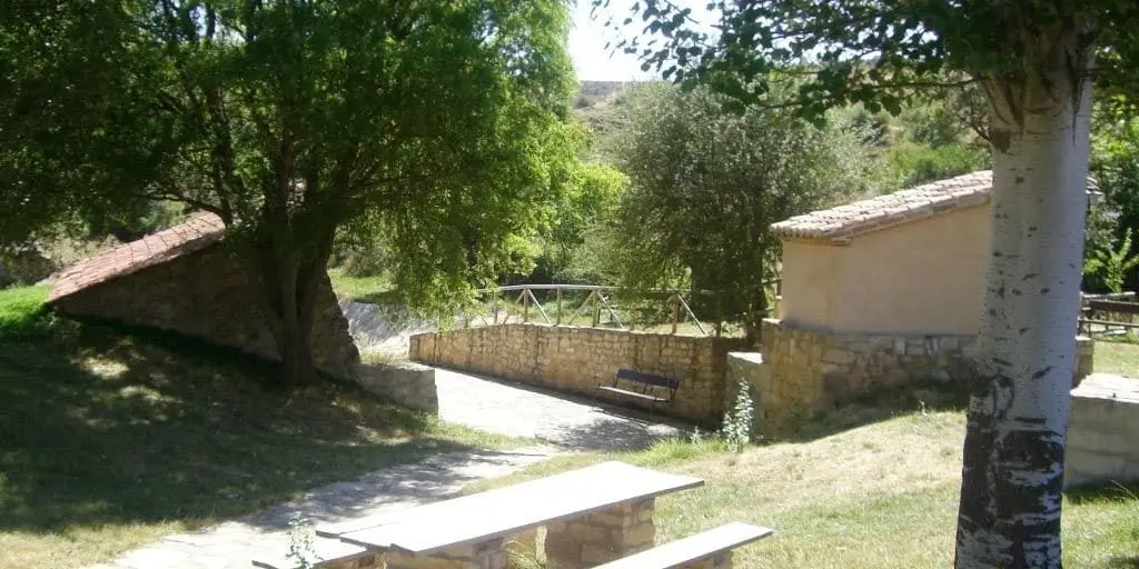
El Espinar recreation area (Adobes)
Adobes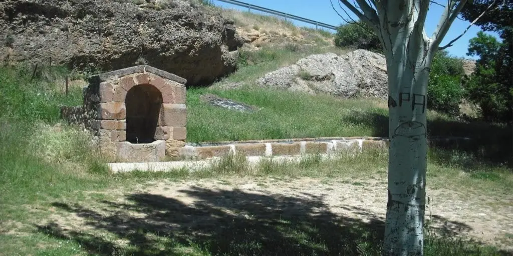
El Cañuelo recreation area (Adobes)
Adobes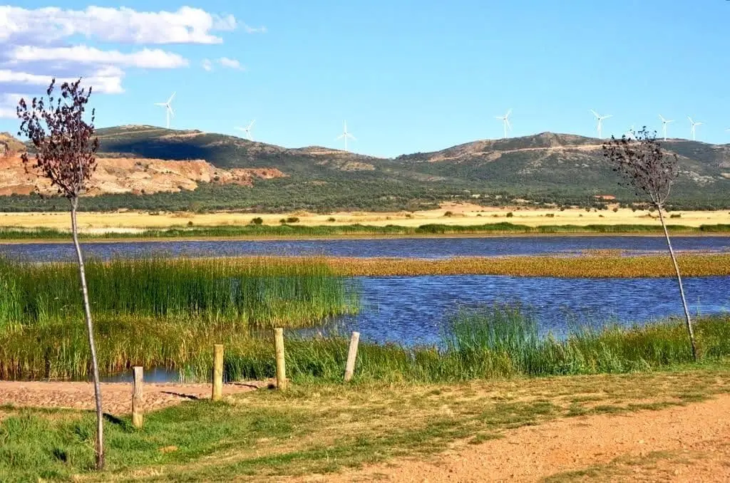
Setiles lagoon or Laguna de los Majanos
PR-GU 23: the historic mining trail of Setiles
15.8 km · CircularCastro de El Castillejo (Anquela del Pedregal): two enclosures upon a hill
Anquela del PedregalEthnographic Museum of El Pobo de Dueñas
El Pobo de DueñasSetiles iron mines: the other side of Sierra Menera
SetilesPopulation of Tordellego, 1842–2021
Tordellego reached a peak of 531 inhabitants in 1940 . In the 2021 census there were 50 , a decrease of 91%. This is the history told in the emptying of the Alto Tajo.
Climate in Tordellego month by month
2015–2024 averages from Copernicus ERA5 reanalysis for an altitude of approx. 1,243 m. Useful for planning, not a substitute for live forecasts.
Location
● Reference point · ● Villages · ● Places
Location diagram. Detailed map with tracks and names loads on zoom.
Reference villages: Setiles · Adobes · Anquela del Pedregal · El Pobo de Dueñas.
Open the full map and historical layers →