Village · Guadalajara · 1,265 m
El Pobo de Dueñas
El Pobo de Dueñas stands at about 1,250 metres on a plateau between the Valdebétera hills and Sierra Menera. It declined from over a thousand residents in 1900 to around a hundred. It has an ethnographic museum built with community donations, oak woods, iron mines, and since 2008 the Caldereros wind farm.
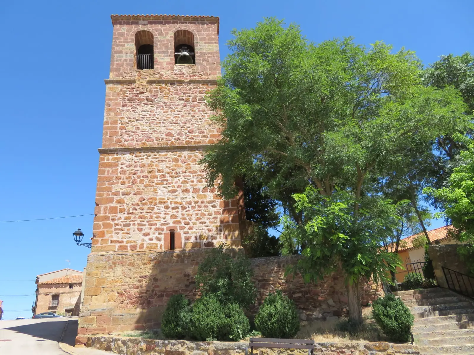
What to see in El Pobo de Dueñas
- The ethnographic museum, displaying around two hundred objects donated by village families.
- The oak woodland, covering some 2,000 hectares of the municipality.
A highland village
El Pobo sits at about 1,250 metres, on a high plain with the Valdebétera hills to the north and Sierra Menera to the east. In 1900 it had more than one thousand inhabitants, making it one of the largest settlements in the area; today it has around one hundred. Iron mines were worked here as part of the Sierra Menera complex, described in the mines of Setiles. Until 1916 it was called simply El Pobo.
Modern wind turbines
In 2008 the Caldereros wind farm was inaugurated between El Pobo and Hombrados, with 16 turbines.
Nearby
Hombrados, four kilometres away, with its open-air museum; Setiles and El Pedregal.
Places in and around El Pobo de Dueñas
Near El Pobo de Dueñas
Hombrados Open-Air Museum: farm machinery in the streets
Hombrados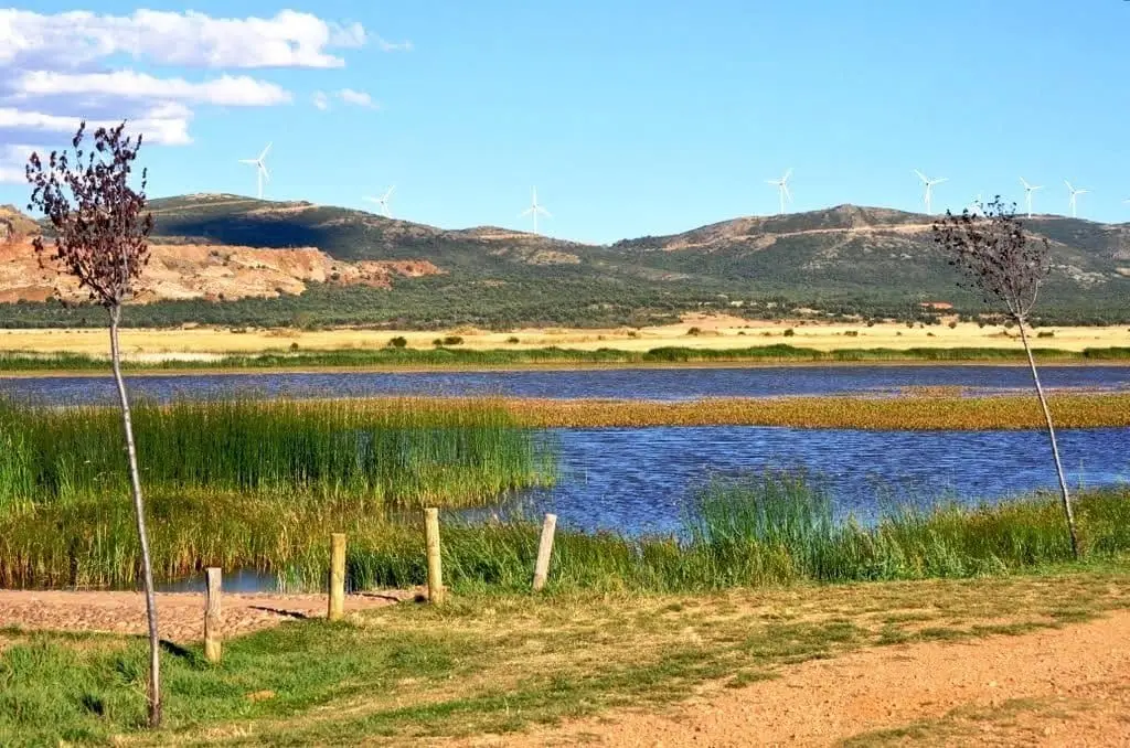
Setiles lagoon or Laguna de los Majanos
PR-GU 23: the historic mining trail of Setiles
15.8 km · CircularPairones of El Pedregal
El Pedregal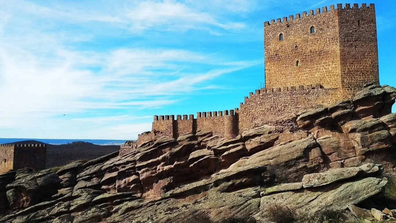
Castle of Zafra: the rock fortress of the Sierra de Caldereros
Castro de El Castillejo (Anquela del Pedregal): two enclosures upon a hill
Anquela del Pedregal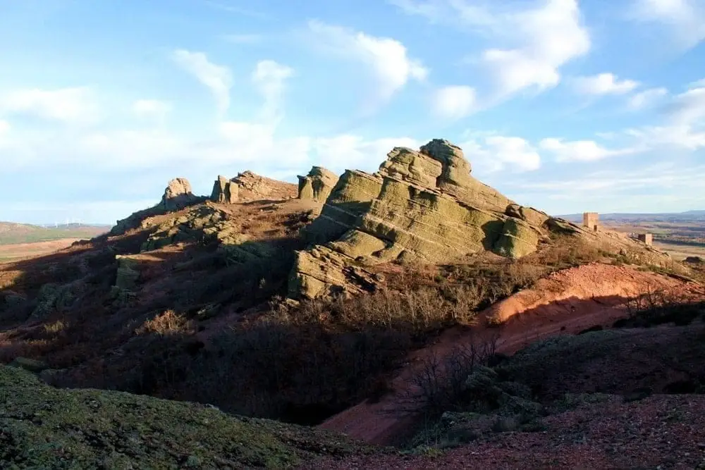
Sierra de Caldereros: Red Sandstone and Zafra Castle
Hermitage of the Virgen de la Carrasca: Romanesque in Sierra de Caldereros
Castellar de la MuelaPopulation of El Pobo de Dueñas, 1842–2021
El Pobo de Dueñas reached a peak of 1,100 inhabitants in 1910 . In the 2021 census there were 103 , a decrease of 91%. This is the history told in the emptying of the Alto Tajo.
Climate in El Pobo de Dueñas month by month
2015–2024 averages from Copernicus ERA5 reanalysis for an altitude of approx. 1,265 m. Useful for planning, not a substitute for live forecasts.
Location
● Reference point · ● Villages · ● Places
Location diagram. Detailed map with tracks and names loads on zoom.
Reference villages: Hombrados · Morenilla · Setiles · Tordellego.
Open the full map and historical layers →