Village · Guadalajara · 1,350 m
Tordesilos
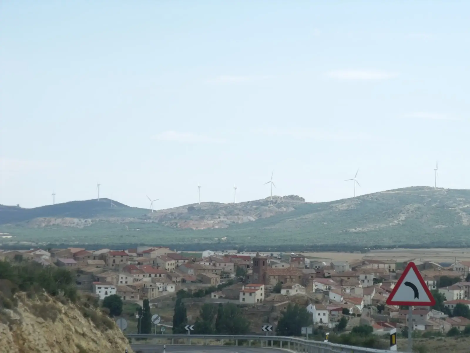
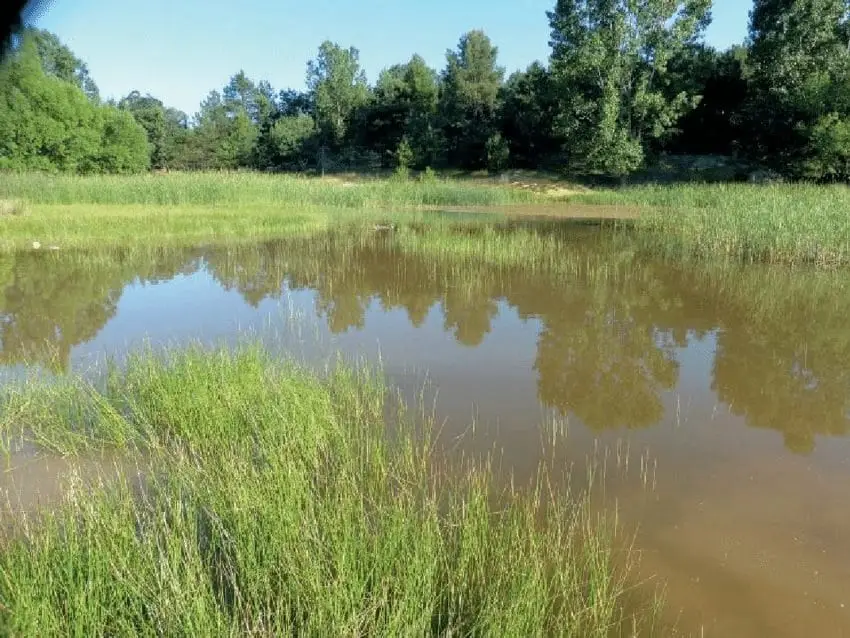
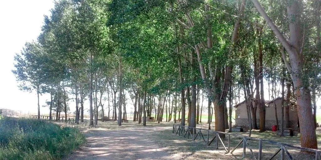
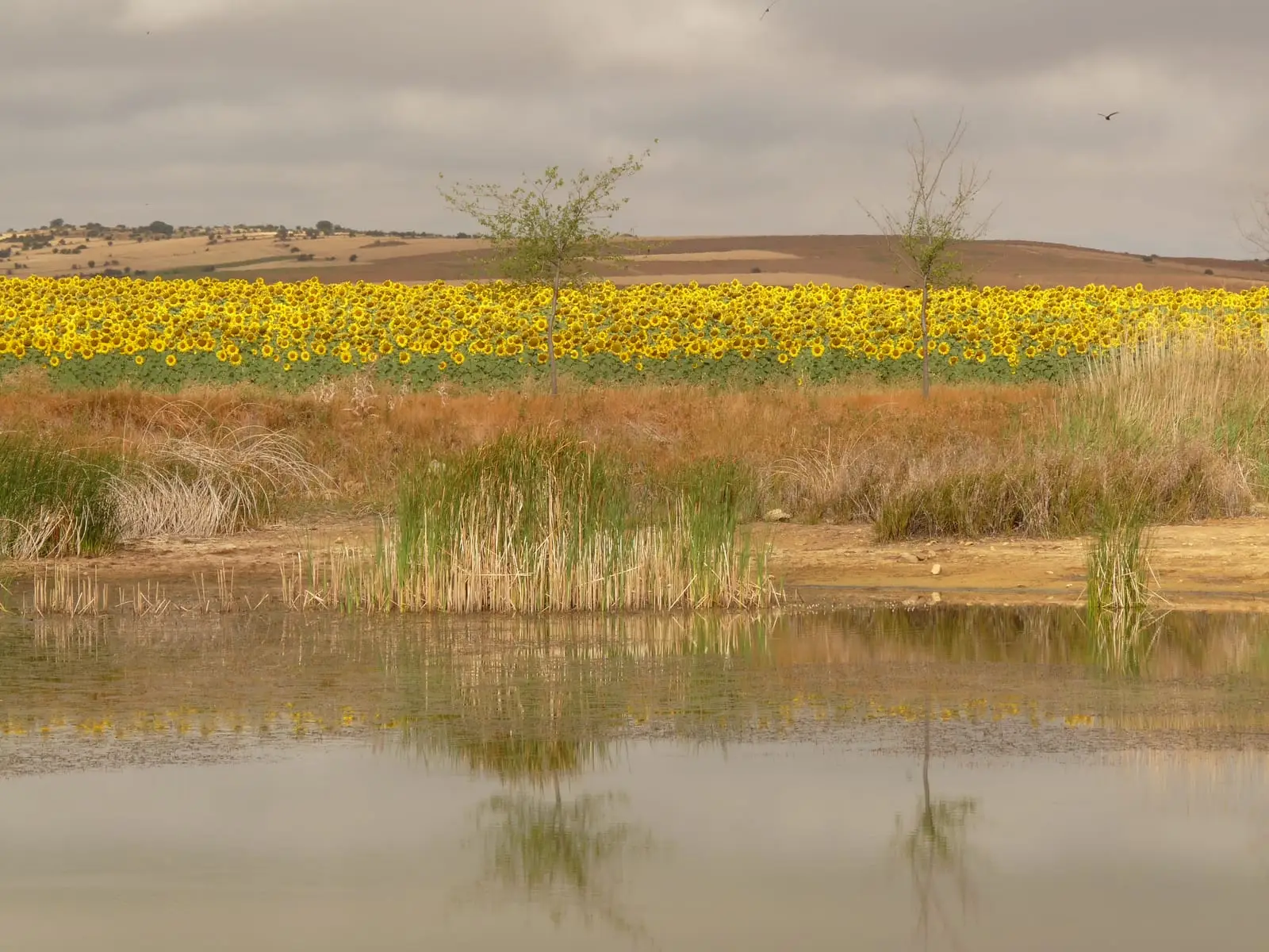
Tordesilos sits in the easternmost corner of Guadalajara, right by the Aragon border. Next to the village is a natural reed-lined lagoon with an adjacent recreation area and shelter, where mallards and marsh harriers can be seen.
What to see
Laguna de Tordesilos and the recreation area La Laguna.
Nearby
More to see
In the municipal area: the creeping juniper formations.
Places in and around Tordesilos
Near Tordesilos
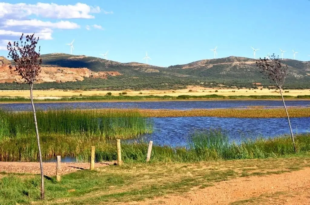
Setiles lagoon or Laguna de los Majanos
PR-GU 23: the historic mining trail of Setiles
15.8 km · CircularSetiles iron mines: the other side of Sierra Menera
Setiles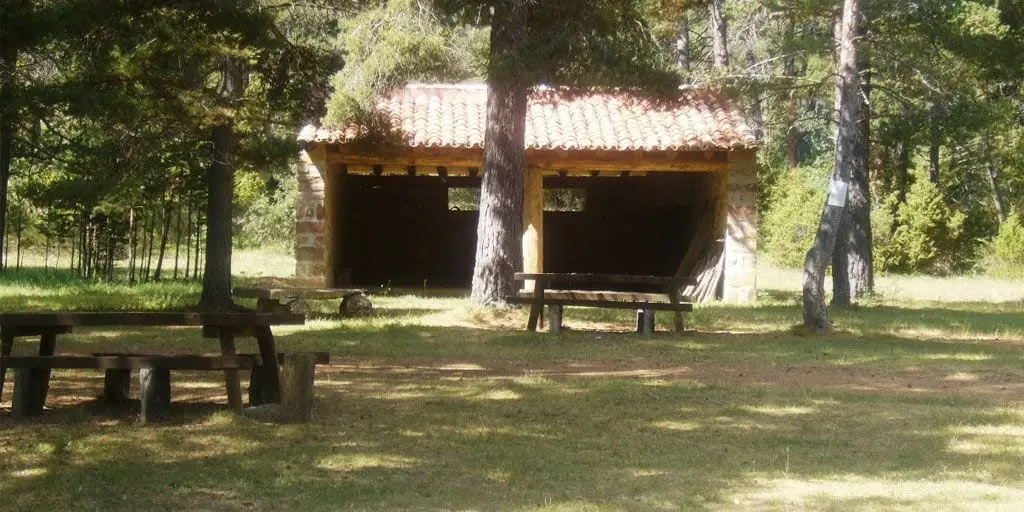
El Ojillo recreation area (Adobes)
Adobes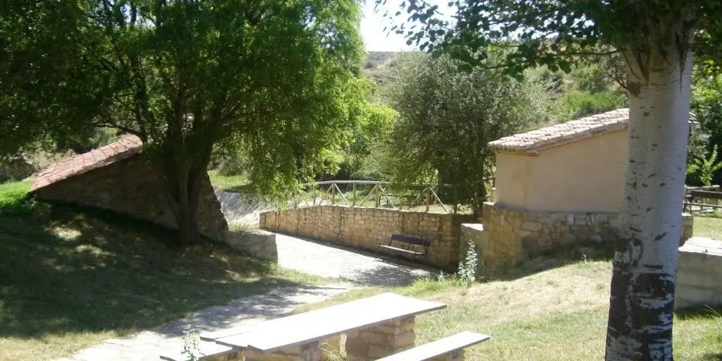
El Espinar recreation area (Adobes)
Adobes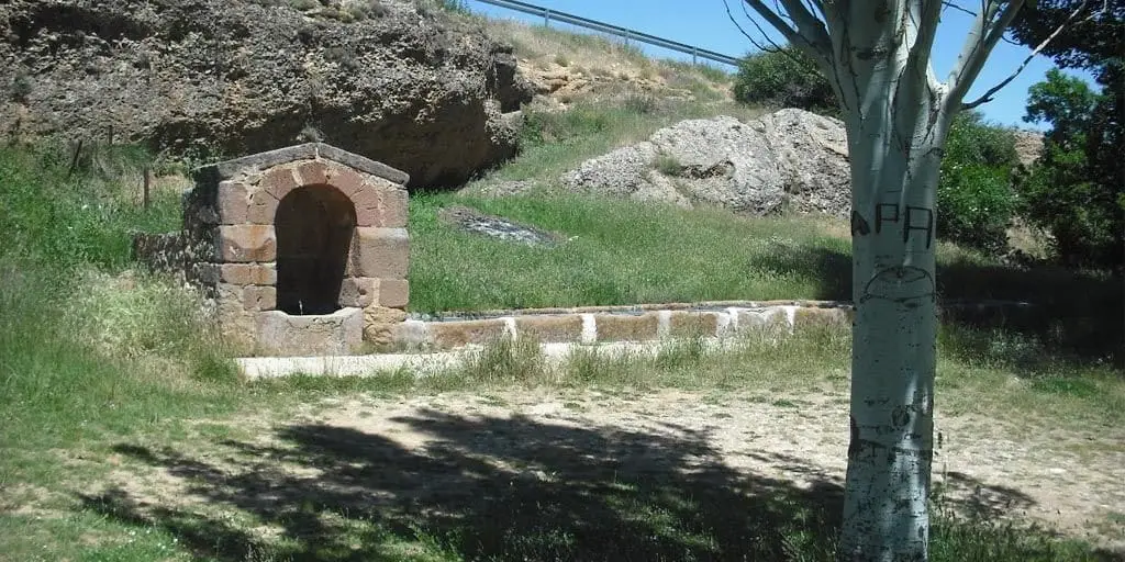
El Cañuelo recreation area (Adobes)
Adobes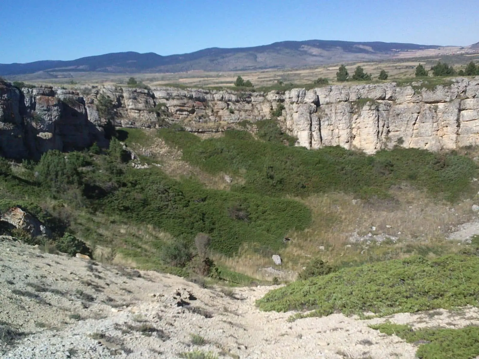
Hoyón de Motos: the celada sinkholes of the paramera
MotosChurch of the Asunción (Alustante): Gothic by Basque stonemasons
AlustantePopulation of Tordesilos, 1842–2021
Tordesilos reached a peak of 784 inhabitants in 1877 . In the 2021 census there were 95 , a decrease of 88%. This is the history told in the emptying of the Alto Tajo.
Climate in Tordesilos month by month
2015–2024 averages from Copernicus ERA5 reanalysis for an altitude of approx. 1,350 m. Useful for planning, not a substitute for live forecasts.
Location
● Reference point · ● Villages · ● Places
Location diagram. Detailed map with tracks and names loads on zoom.
Reference villages: Setiles · Adobes · Alustante · Tordellego.
Open the full map and historical layers →