Water source · Zaorejas
Presa de la Rocha or Campillo Dam (Zaorejas)
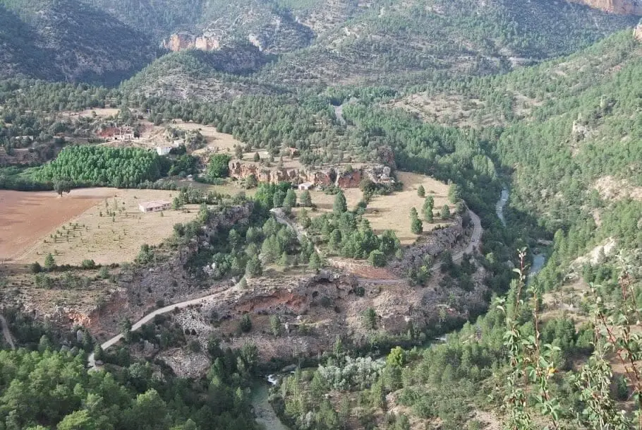
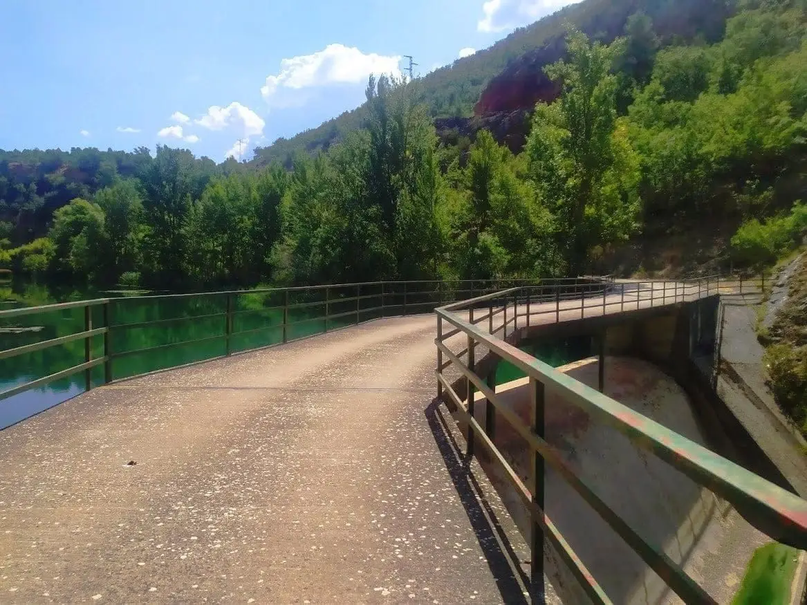
The Rocha dam, or Campillo dam, is an old hydroelectric plant next to the Campillo tufa formation, downstream from Cascada del Campillo in Zaorejas. It is one of the river barriers earmarked for removal, as restoring natural flow is a key conservation goal.
Lands and landscapes
From here, follow the memory of the territory
These readings connect Presa de la Rocha or Campillo Dam (Zaorejas) with the history, work, and villages around it.
- Municipality
- Zaorejas
- Province
- Guadalajara
- Altitude
- 883 m
- Former power plant
- Beside Cascada del Campillo
- River restoration
A dam with an expiration date
Dams block the passage of fish and sediment. For that reason, once they fall out of use, modern conservation policy favours removing them to return rivers to their natural flow. La Rocha is one of the candidates.
How to get there
Along the track to the Casas del Campillo, which drops down to the weir. Very close by is the Cascada del Campillo. Note that the stretch of the Tagus between this weir and the Ocentejo mill is closed to boating.
Photo: El Observario
Location
● Reference point · ● Villages · ● Places
Location diagram. Detailed map with tracks and names loads on zoom.
Reference villages: Villar de Cobeta · Zaorejas · Buenafuente del Sistal · Olmeda de Cobeta.
Open the full map and historical layers →