Village · Guadalajara · 918 m
Huertapelayo
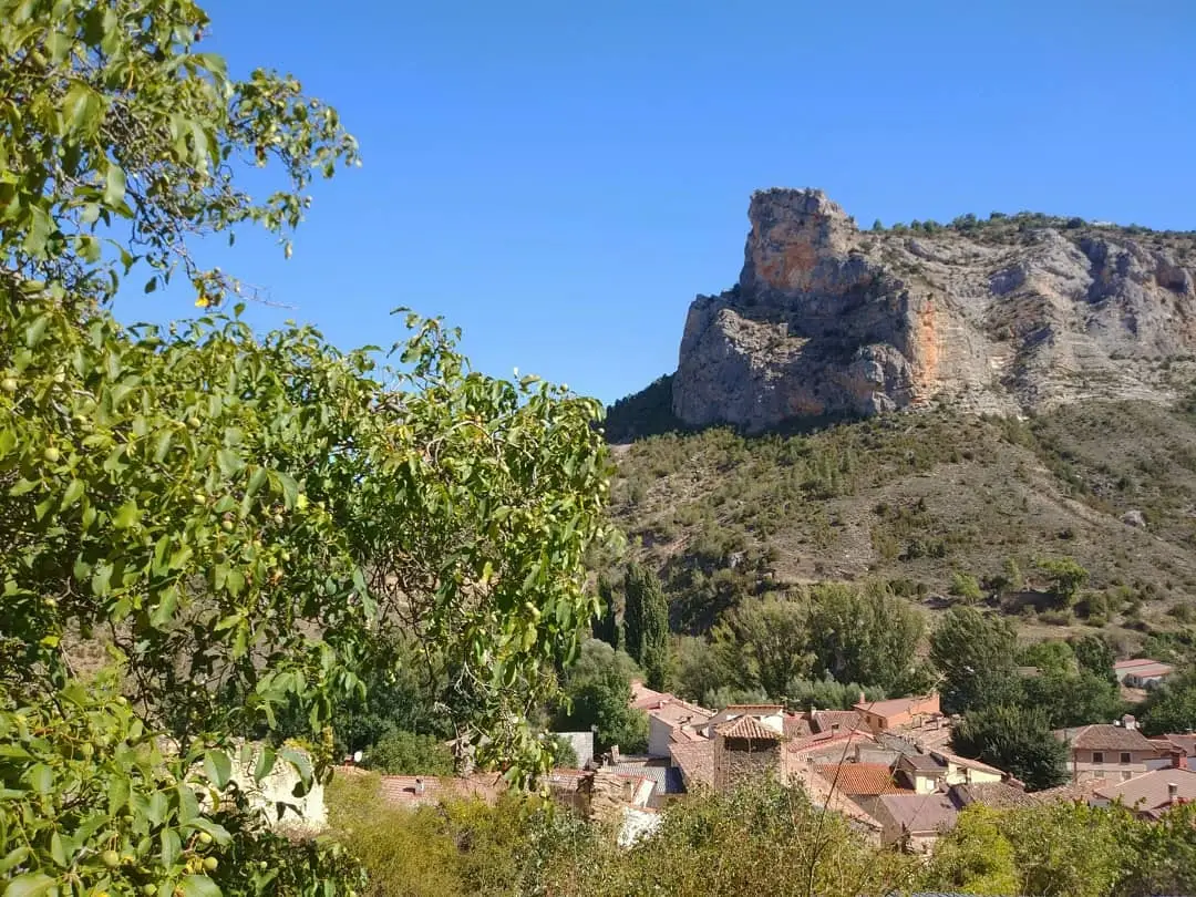
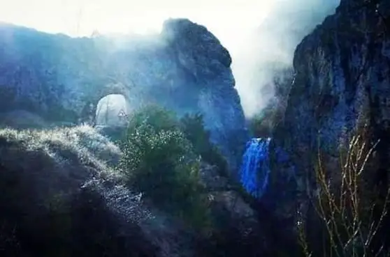
Huertapelayo is an Alto Tajo village at about 920 metres, entered through the Portillo tunnel hand-carved through the rock by locals. Next to the tunnel falls El Chorrero, and from the village depart the bridle path to the Tagüenza Bridge and the PR-GU 21 trail to the Tagus.
Rivers and basins
The thread of water from Huertapelayo
Follow these watercourses towards their confluences, villages, and basin history.
Lands and landscapes
From here, follow the memory of the territory
These readings connect Huertapelayo with the history, work, and villages around it.
Traces in the village and its surroundings
Which eras you can read here
A single place can preserve traces from different eras. These layers connect what you see with the stories in the atlas.
What to see
- El Chorrero, beside the tunnel.
- Puente de Tagüenza.
- The Piedra de la Calera, the limestone crest sheltering the village, seen from Las Asomadillas.
Stones that had another life
In Calle del Tesillo, two carved stones bearing crosses were incorporated into house walls. One preserves a disk shape; the other is rectangular. A study by Koldo Colomo Castro and Marta Embid Ruiz catalogues them as reused medieval funerary stelae: stones that once marked graves and eventually became building material.
One was hidden beneath plaster until renovation work exposed it. The house held a memory older than that of its occupants.
These are modest details to observe from the street. The names of those whose graves they marked remain unknown. The crosses preserve traces of their original purpose, even as time altered their location and function.
Memory was also preserved in song. The May songs of Huertapelayo trace a traditional singing round to a front door.
Routes
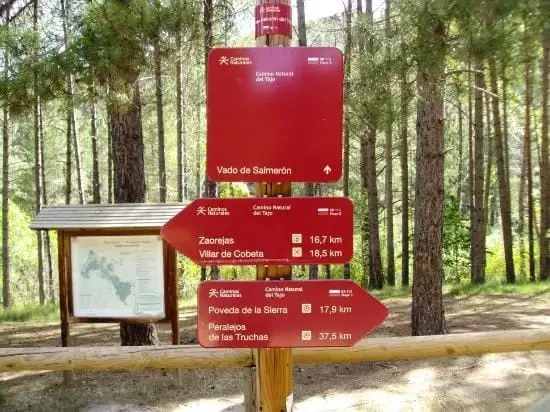
The demanding Sendero 6 (PR-GU 21), from Huertapelayo to the Tagus, and the GR-113, following the river.
Places in and around Huertapelayo
Routes linked to Huertapelayo

Near Huertapelayo
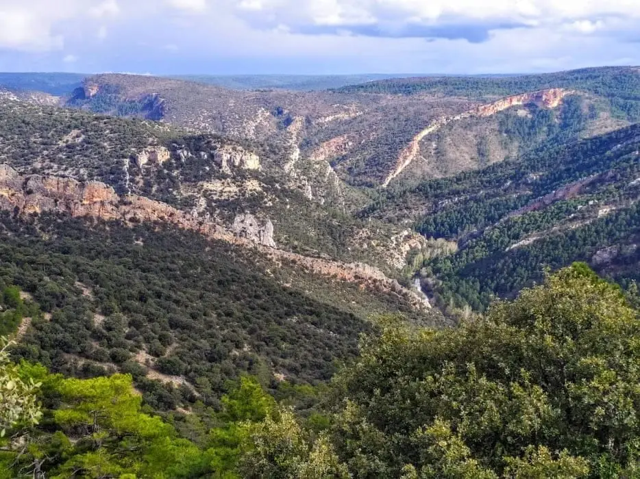
Buenafuente del Sistal viewpoint: the wildest Tagus
Buenafuente del Sistal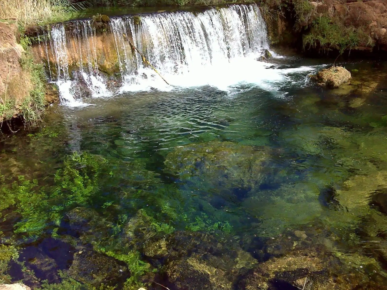
Hoz del Río Ablanquejo: a wild, pathless canyon
AblanqueChurch of the Natividad of Armallones: 13th-century Romanesque
Armallones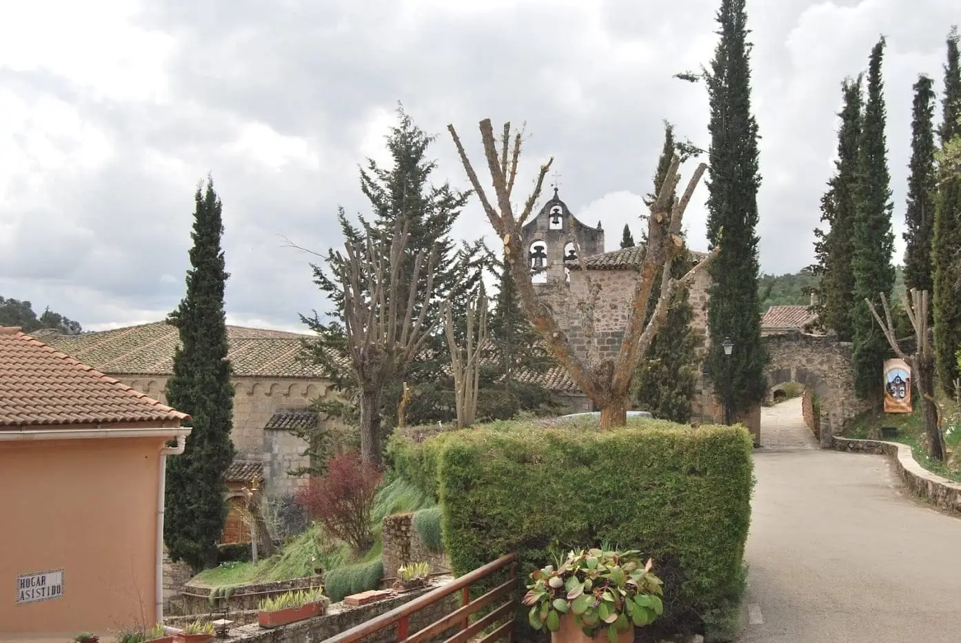
Monastery of Buenafuente del Sistal: Cistercian nuns since 1246
Buenafuente del Sistal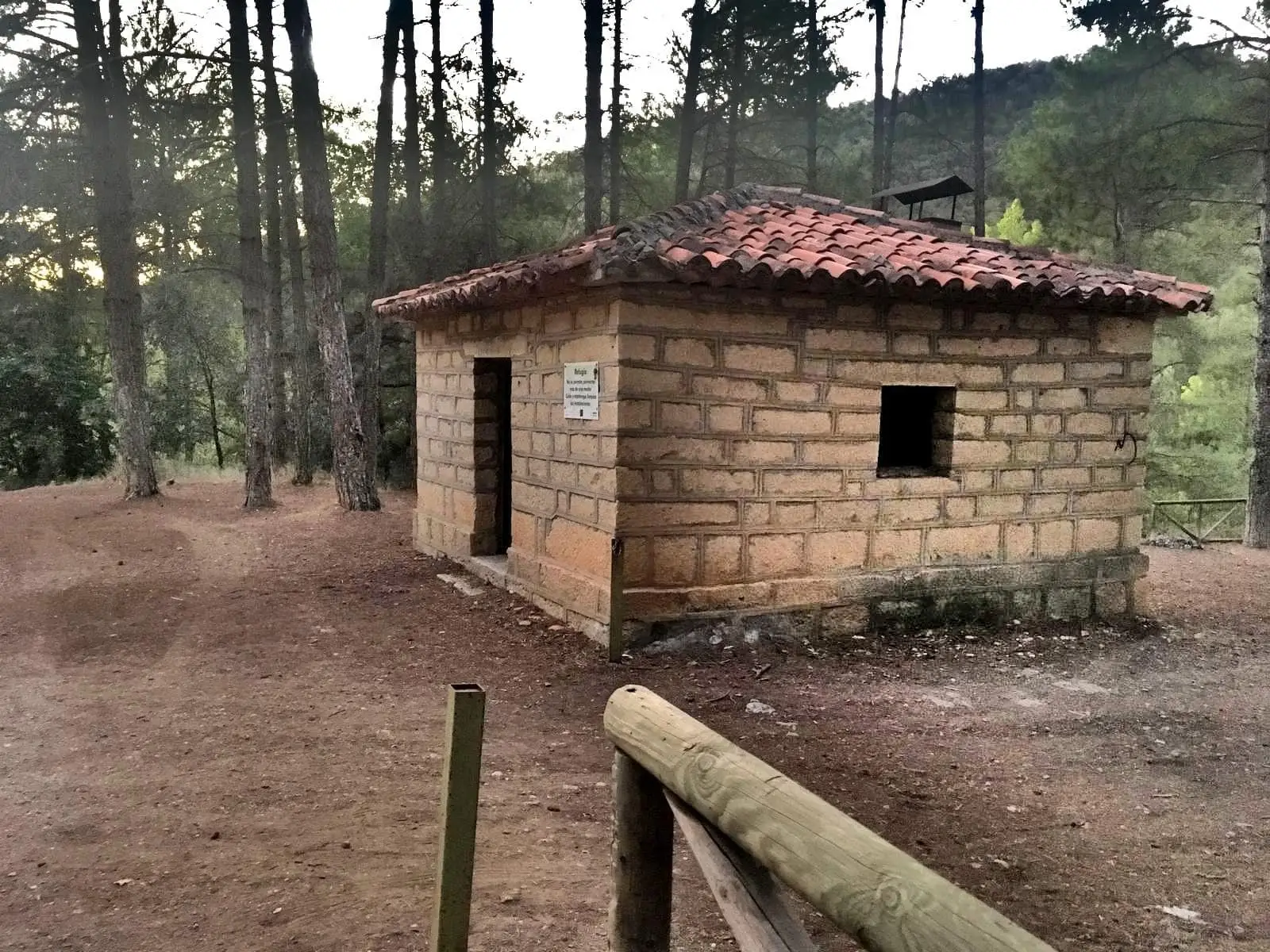
La Falaguera II recreation area
Zaorejas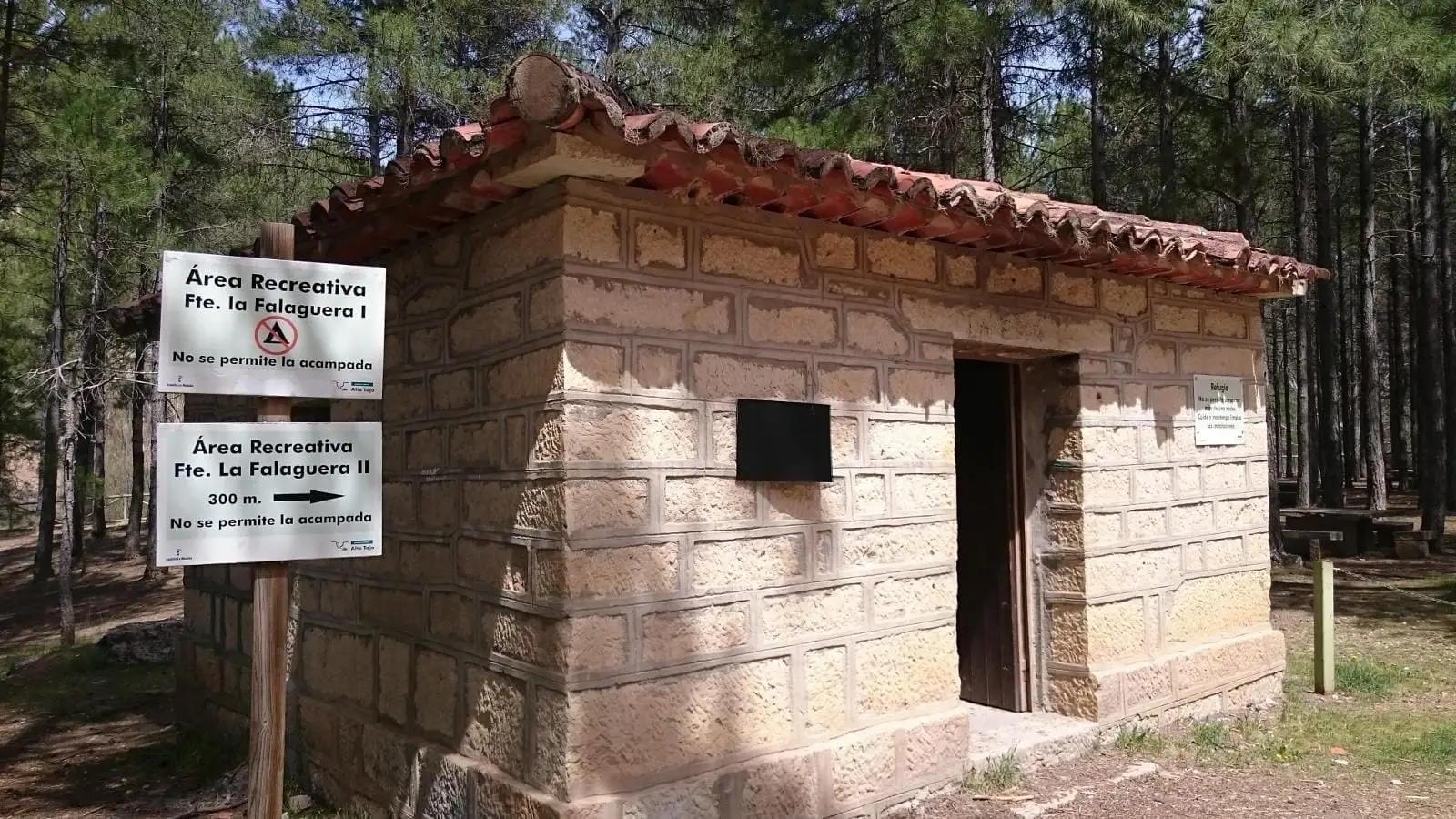
La Falaguera recreation area (Zaorejas)
Zaorejas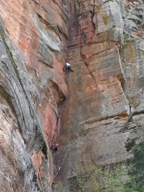
Climbing in Barranco de la Hoz
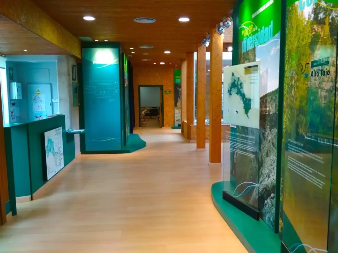
Tagus River Visitor Centre (Zaorejas)
ZaorejasPopulation of Huertapelayo, 1842–1960
Huertapelayo reached a peak of 594 inhabitants in 1900 ; in 1960 it had 166, before merging into the municipality of Zaorejas. This is the history told in the emptying of the Alto Tajo.
Climate in Huertapelayo month by month
2015–2024 averages from Copernicus ERA5 reanalysis for an altitude of approx. 918 m. Useful for planning, not a substitute for live forecasts.
Location
● Reference point · ● Villages · ● Places
Location diagram. Detailed map with tracks and names loads on zoom.
Reference villages: Huertahernando · Armallones · Buenafuente del Sistal · Zaorejas.
Open the full map and historical layers →