Waterfall · Huertapelayo
El Chorrero of Huertapelayo
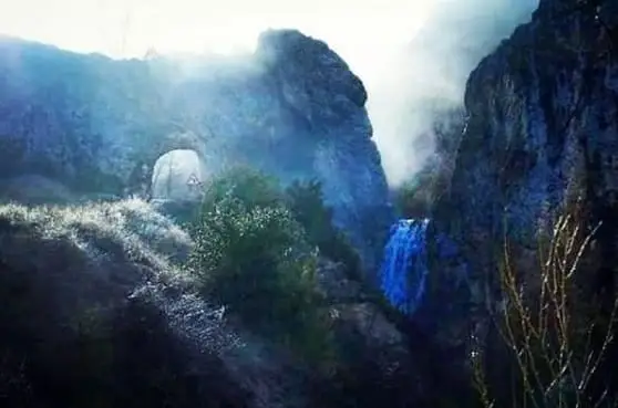
El Chorrero is the best-known waterfall in Huertapelayo, situated next to the Portillo tunnel blasted through rock at the entrance of the village. Fed by the Vega stream which irrigates local gardens, it reaches peak flow in spring, and locals check its volume to gauge whether the year brings rain or drought.
Lands and landscapes
From here, follow the memory of the territory
These readings connect El Chorrero of Huertapelayo with the history, work, and villages around it.
- Best season
- Spring
- Municipality
- Huertapelayo
- Province
- Guadalajara
- Beside Portillo tunnel
- Arroyo de la Vega
- Spring season
- At village entrance
The yearly rain gauge
In Huertapelayo, the very first thing drivers do upon arriving is slow down and check how much water is cascading down El Chorrero. It serves as the most direct gauge of whether the season has been rainy or dry.
A road tunnel and a waterfall
The mountain road enters the hamlet by traversing the rock barrier through the Portillo tunnel, carved out with dynamite by the villagers themselves to bypass an impassable rocky outcrop. Right beside it cascades El Chorrero, carrying the waters of the Arroyo de la Vega, which downstream irrigates the village vegetable plots.
Best season to visit
In spring, when snowmelt from the highlands combines with seasonal rains. From Huertapelayo, hikers can also join Sendero 6 (PR-GU 21), from Huertapelayo to the Tagus.
Location
● Reference point · ● Villages · ● Places
Location diagram. Detailed map with tracks and names loads on zoom.
Approximate position: village centre.
Reference villages: Huertapelayo · Huertahernando · Armallones · Buenafuente del Sistal.
Open the full map and historical layers →