Village · Guadalajara · 1,220 m
Zaorejas
Zaorejas sits upon the paramera overlooking the Tagus canyon. Its territory holds Puente de San Pedro at the Tagus-Gallo confluence, Cascada del Campillo, Mirador del Tajo, La Escaleruela, and the Tagus River Visitor Centre.
Rivers and basins
The thread of water from Zaorejas
Follow these watercourses towards their confluences, villages, and basin history.
Lands and landscapes
From here, follow the memory of the territory
These readings connect Zaorejas with the history, work, and villages around it.
Traces in the village and its surroundings
Which eras you can read here
A single place can preserve traces from different eras. These layers connect what you see with the stories in the atlas.
1936–1939 · memory of the territory
The war in the village memory
Zaorejas had a Republican airfield with an underground shelter. Front-line trenches remained at Puntal del Estiércol. The war also left a less visible absence: the town hall and parish archives disappeared.
Source: Schnell, pp. 35–36; guía, p. 58; Pradillo, p. 65.
Read the story of the river frontline →Watchman on the paramera
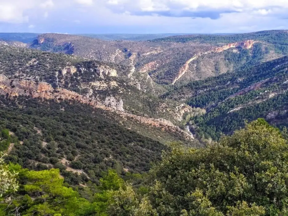
Zaorejas is a paramera village: flat, open, and exposed to the wind, with irregular streets and limestone manor houses darkened by the passage of time. Yet just a few kilometres away the landscape breaks into the Tagus canyon, and that contrast between the bare plateau and the deep river valley is what defines its territory.
What to see
- Puente de San Pedro, at the confluence of the Tagus and the Gallo.
- Cascada del Campillo, reached from the bridge.
- Mirador del Tajo and La Escaleruela, overlooking the canyon.
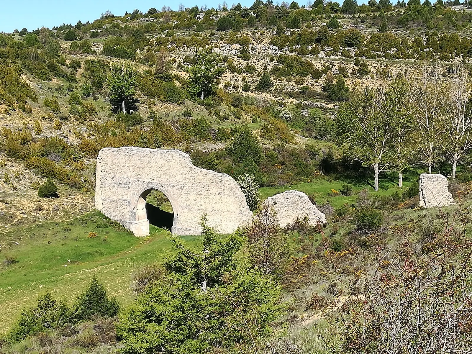
- Aqueduct of Zaorejas.
- Barranco del Ciño Negro and the Rocha dam.
- Tagus River Visitor Centre.
Routes and shelters
Georuta 4 climbs from Puente de San Pedro to the Zaorejas viewpoint, and both the GR-10 and the GR-113 cross the municipal territory. Several shelters stand in the area, such as La Falaguera and Vado de Salmerón.
Planning your visit
Divide your day between a stop in the village and a specific outing along the canyon. Georuta 4 helps organise the sector between Puente de San Pedro and the viewpoint.
Before travelling
The village lies on the paramera plateau and the river in the valley: calculate driving times by road. Check parking availability and visitor centre opening times; do not deduce access routes merely from proximity on a map.
To combine
Continue with Puente de San Pedro – Mirador de Zaorejas. Consult its guide to decide whether it fits into the same excursion.
Places in and around Zaorejas
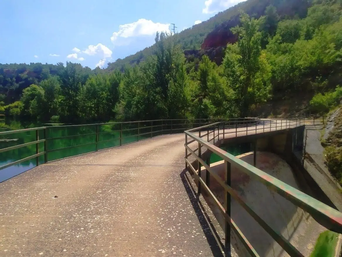
Presa de la Rocha or Campillo Dam (Zaorejas)
Zaorejas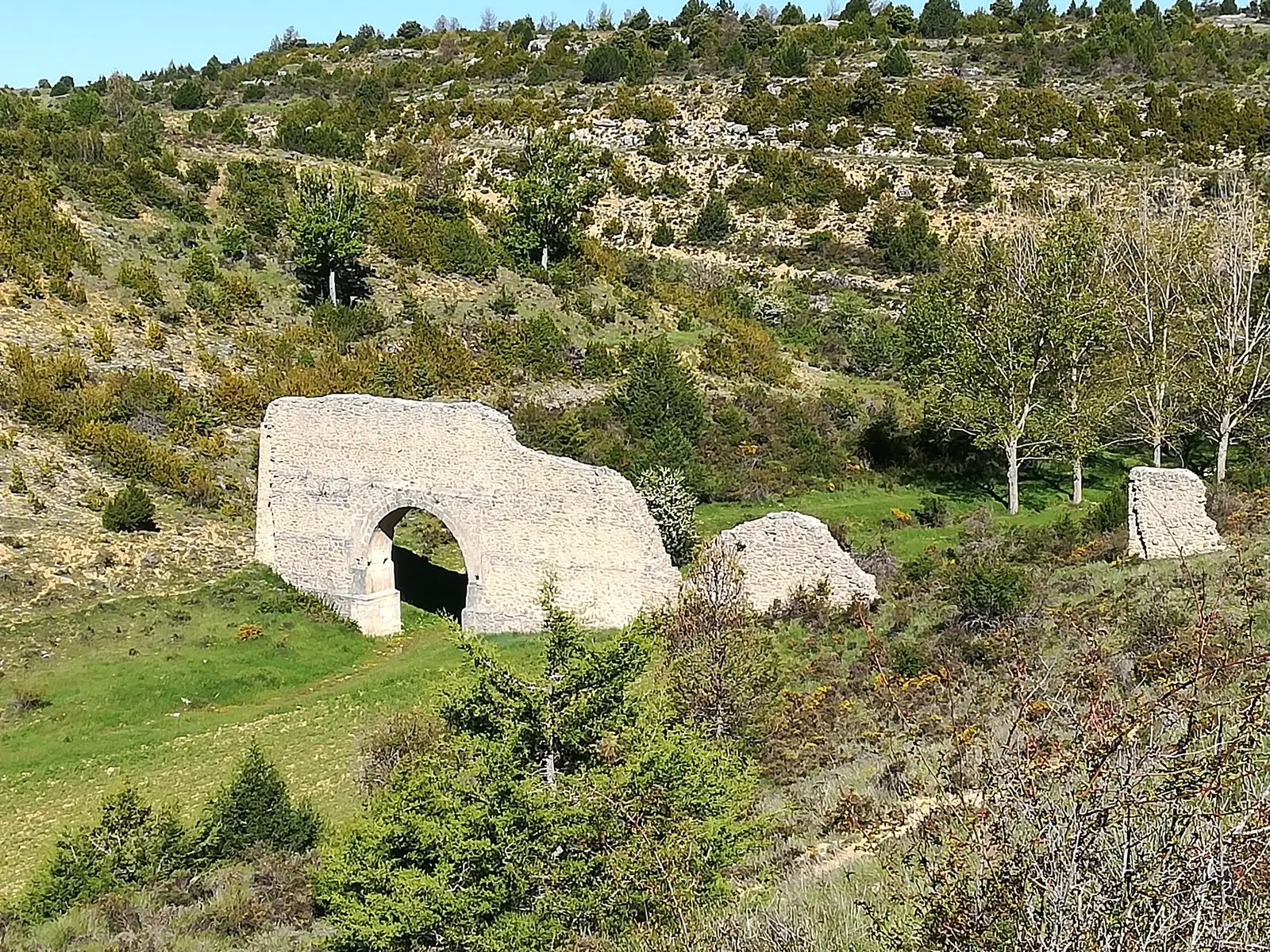
Aqueduct of Zaorejas: the 'Roman bridge' of Fuentelengua ravine
Zaorejas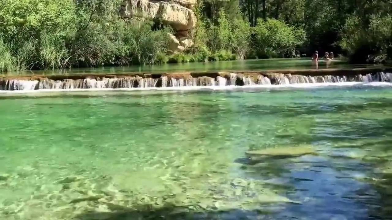
Puente de San Pedro: where the Tagus and Gallo meet
Zaorejas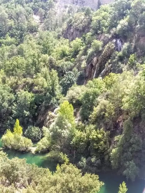
Cascada del Campillo: the permanent waterfall of Zaorejas
Zaorejas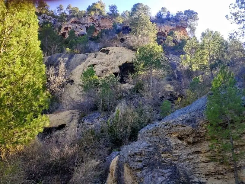
La Escaleruela: the stepped tufa waterfall of Zaorejas
Zaorejas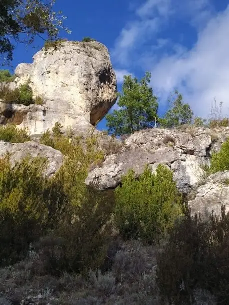
Barranco del Ciño Negro (Zaorejas)
Zaorejas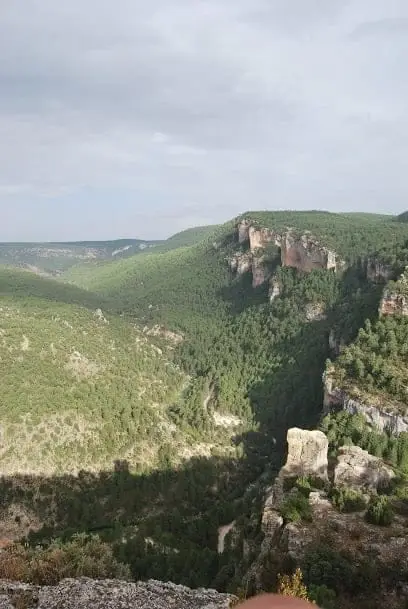
Mirador del Tajo (Zaorejas): raptors and the Puente de San Pedro tufa
Zaorejas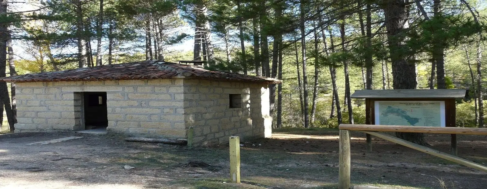
Vado de Salmerón recreation area
Zaorejas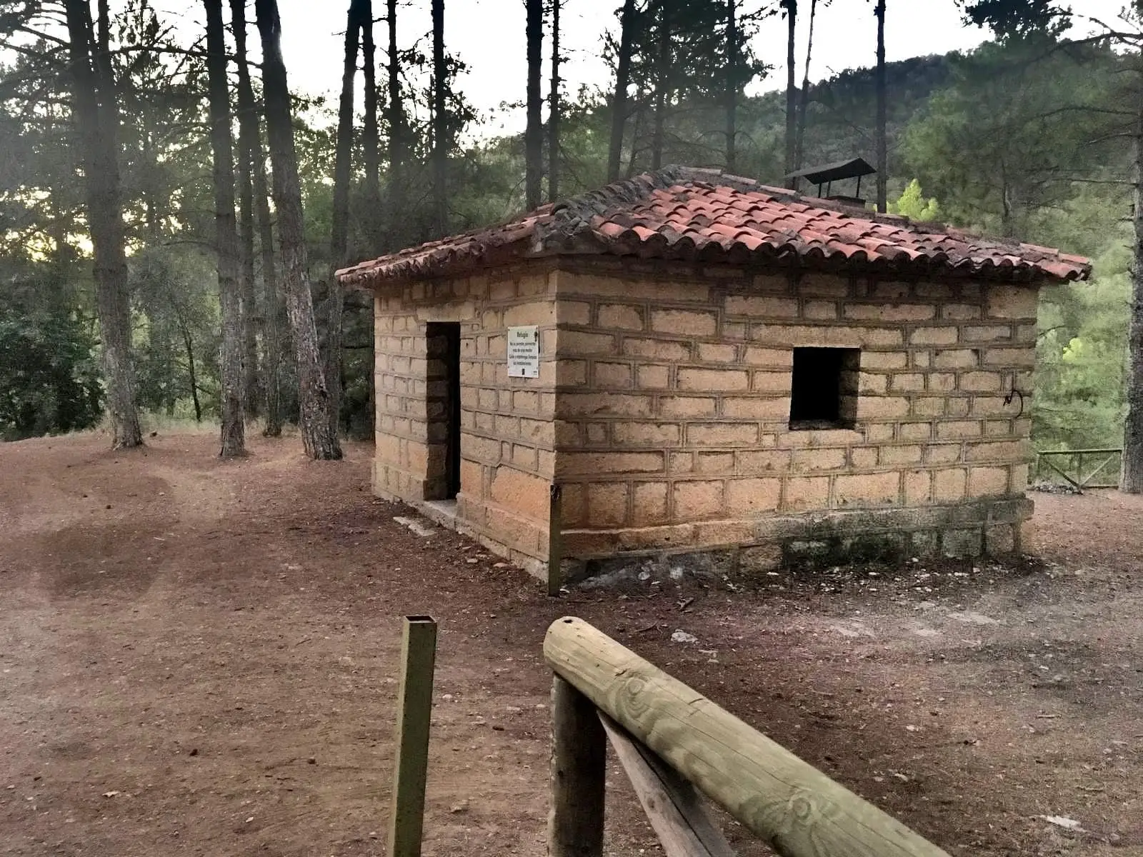
La Falaguera II recreation area
Zaorejas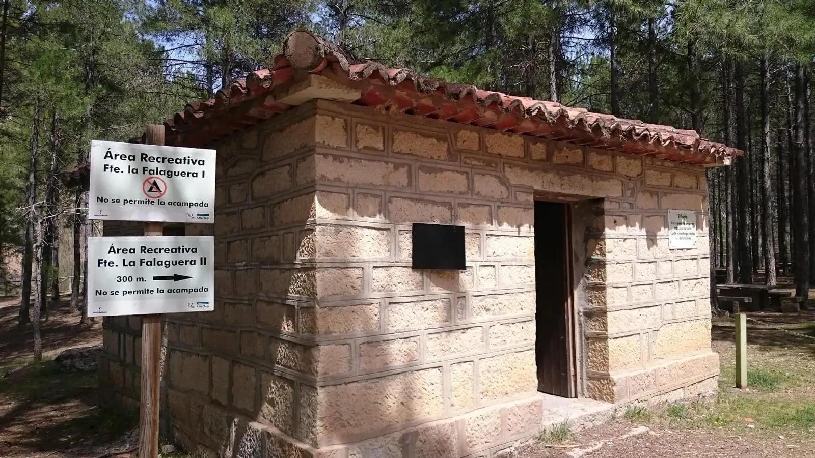
La Falaguera recreation area (Zaorejas)
Zaorejas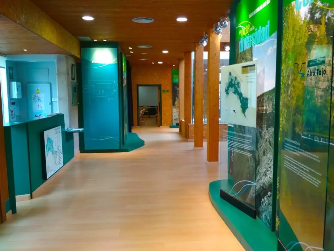
Tagus River Visitor Centre (Zaorejas)
ZaorejasRoutes linked to Zaorejas

Trail 6 (PR-GU 21): from Huertapelayo to the Tagus
6.5 km · 3.5 h · Circular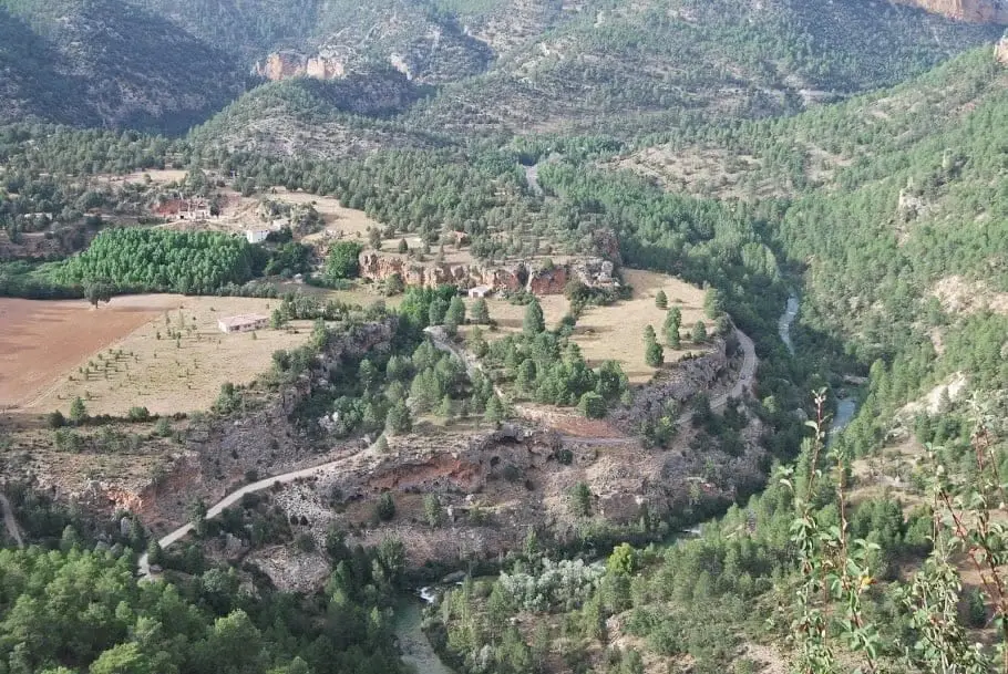
Geotrail 4: from Puente de San Pedro to the Zaorejas Viewpoint
8 km · 4 h · Circular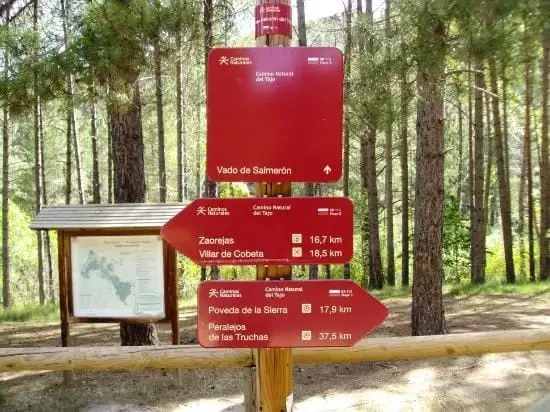
GR-113, Camino Natural del Tajo, through the Alto Tajo
135 km · 35 h · LinearGR-10 (E7) through the Alto Tajo: the Valencia to Lisbon trail
130 km · 32 h · LinearNear Zaorejas
Population of Zaorejas, 1842–2021
Zaorejas reached a peak of 1,011 inhabitants in 1930 . In the 2021 census there were 103 , a decrease of 90%. This is the history told in the emptying of the Alto Tajo.
Climate in Zaorejas month by month
2015–2024 averages from Copernicus ERA5 reanalysis for an altitude of approx. 1,220 m. Useful for planning, not a substitute for live forecasts.
Frequently asked questions
What to see in Zaorejas?
Puente de San Pedro, Cascada del Campillo, Mirador del Tajo, La Escaleruela, the aqueduct of Zaorejas, and the Tagus River Visitor Centre.
Is the aqueduct of Zaorejas Roman?
It has traditionally been called Roman, though that attribution has been questioned. Consult its guide for further details.
Location
● Reference point · ● Villages · ● Places
Location diagram. Detailed map with tracks and names loads on zoom.
Reference villages: Huertapelayo · Villar de Cobeta · Buenafuente del Sistal · Armallones.
Open the full map and historical layers →