Viewpoint · Cuevas Labradas
Las Molatillas (Cuevas Labradas): viewpoint over San Pedro and Alpetea
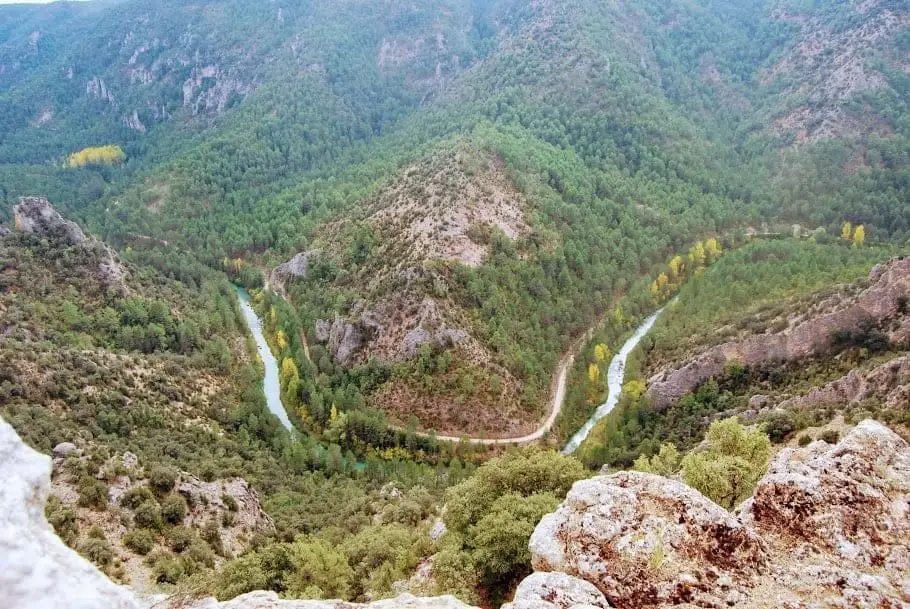
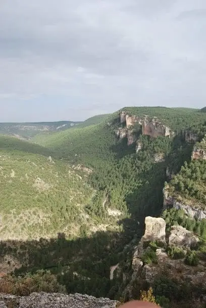
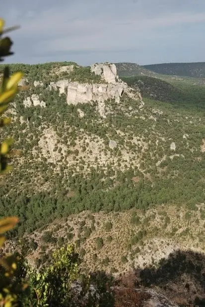
Las Molatillas is an unconditioned vantage point in Cuevas Labradas offering 360-degree views: Castillo de Alpetea with the Tagus and Gallo confluence below, the tufa barrier of Puente de San Pedro, La Escaleruela, and the Zaorejas viewpoint seen from the opposite rim. A quiet, rarely visited spot.
- Best season
- All year round
- Municipality
- Cuevas Labradas
- Province
- Guadalajara
- Quiet
- View of Alpetea
- Forest track
- Refugio del Hontanar
The opposite view of Puente de San Pedro
From Las Molatillas you see everything normally viewed from the Mirador del Tajo, but from the reverse side: the hill of Castillo de Alpetea, the confluence of the Tagus and Gallo at Puente de San Pedro, and the tufa waterfall of La Escaleruela.
How to get there
From Cuevas Labradas, a forest track turns off to the right, suitable for regular cars. It passes the Hontanar shelter, and after about 1.5 km, a fork to the right leads out to several rocky points overlooking the Gallo ravine and to the viewpoint. It is unconditioned: take care near the edges.
Location
● Reference point · ● Villages · ● Places
Location diagram. Detailed map with tracks and names loads on zoom.
Approximate position: village centre.
Reference villages: Cuevas Labradas · Lebrancón · Torete · Escalera.
Open the full map and historical layers →