Village · Guadalajara · 1,129 m
Lebrancón
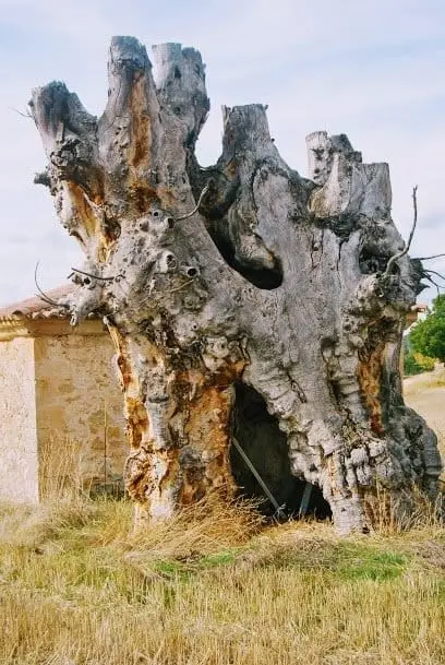
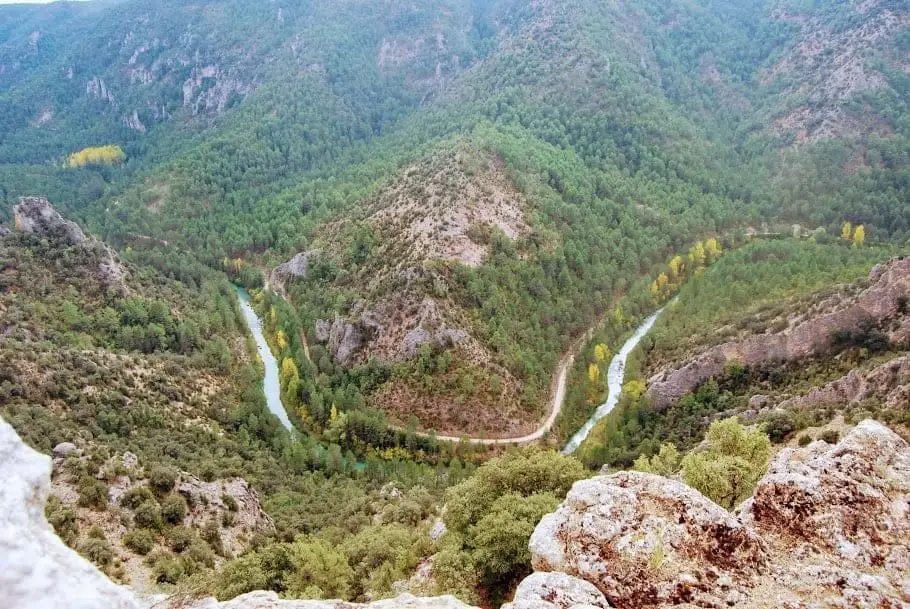
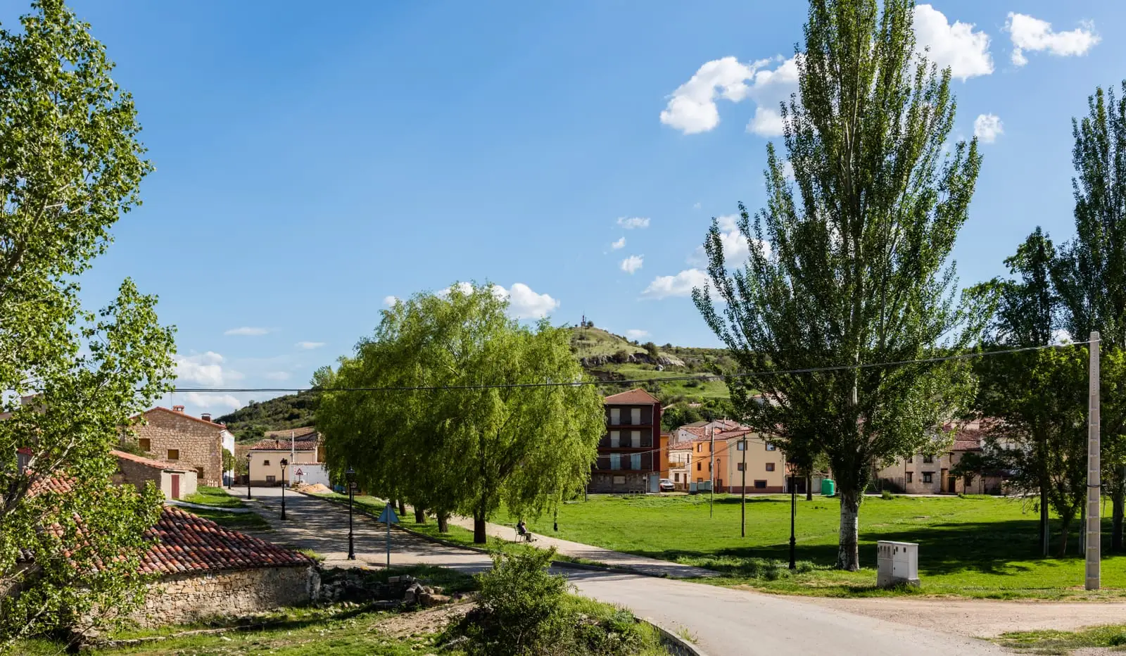
Lebrancón is an Alto Tajo village at about 1,130 metres, between Escalera and Cuevas Labradas. Beside its hermitage of La Soledad stand the stumps of two monumental elms, and from the village depart the Puntal de la Cabeza trail and the track to Puntal del Pancho, a clifftop balcony over the Tagus canyon.
Lands and landscapes
From here, follow the memory of the territory
These readings connect Lebrancón with the history, work, and villages around it.
Traces in the village and its surroundings
Which eras you can read here
A single place can preserve traces from different eras. These layers connect what you see with the stories in the atlas.
What to see
- Olmos de la Soledad.
- Puntal del Pancho, a natural clifftop balcony without railings above the Castillo de Garabatea.
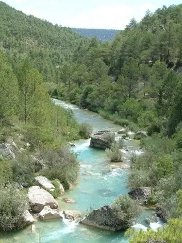
- La Herrería recreation area, beside the Tagus.
Routes
Sendero 9, Puntal de la Cabeza, with interpretive panels and traditional chozones.
Places in and around Lebrancón
Routes linked to Lebrancón
Near Lebrancón
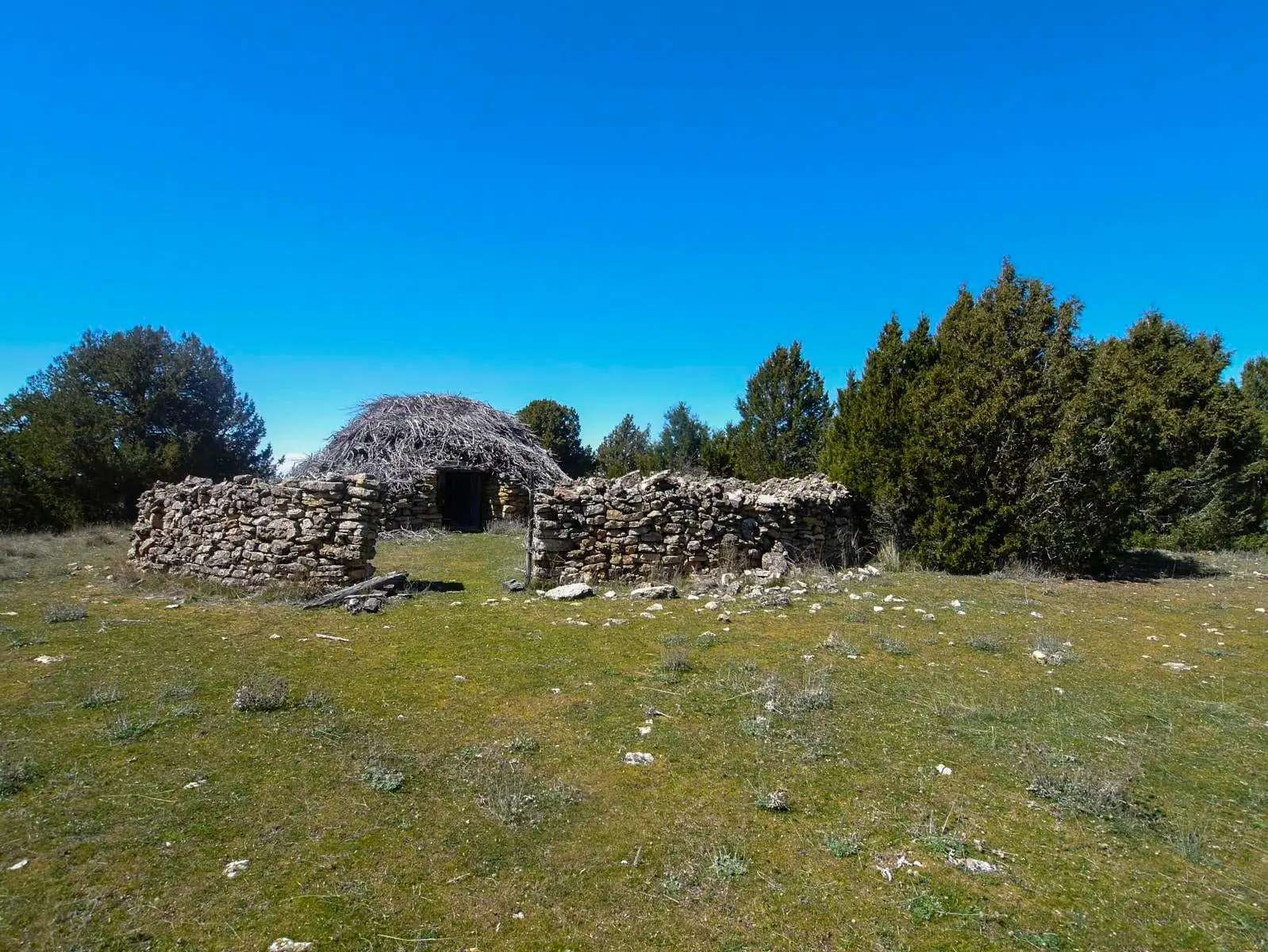
Juniper chozones of Escalera: El Cerrillo and El Sabinar
EscaleraCuevas Labradas folds: rocks folded like an accordion
Cuevas Labradas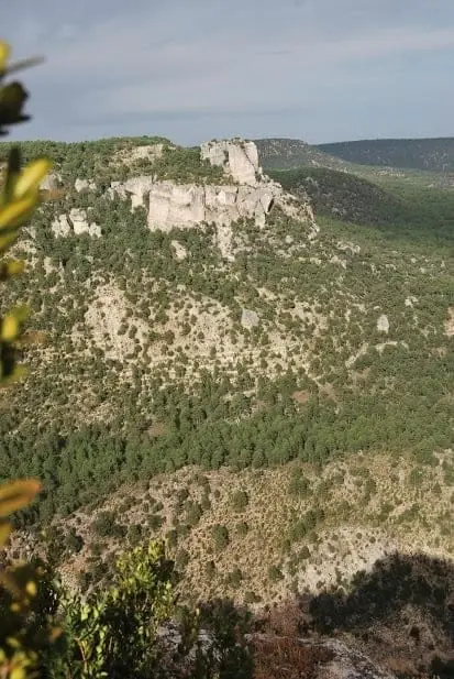
Las Molatillas (Cuevas Labradas): viewpoint over San Pedro and Alpetea
Cuevas Labradas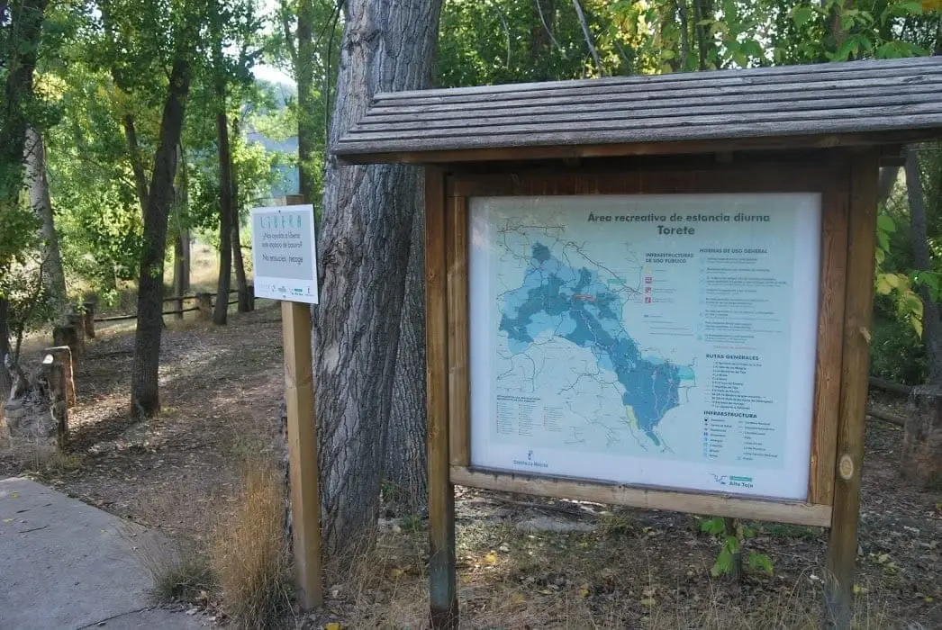
Gallo River recreation area in Torete
Torete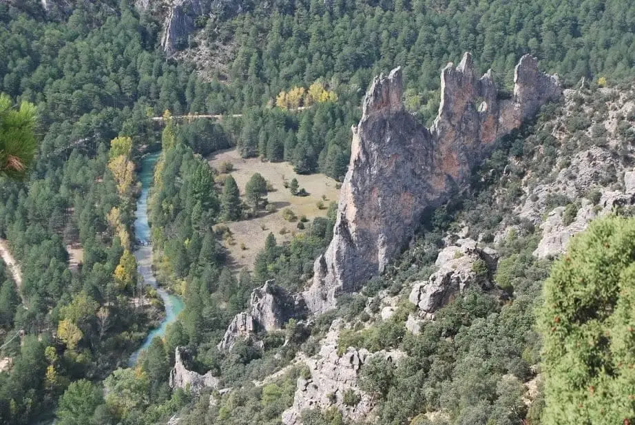
Mirador del Pie y Medio (Fuembellida)
Fuembellida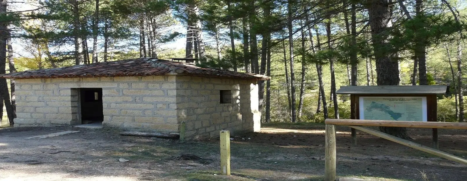
Vado de Salmerón recreation area
Zaorejas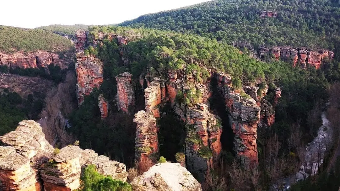
Sanctuary of the Virgen de la Hoz: the hermitage beneath red cliffs
Corduente, VentosaPopulation of Lebrancón, 1842–1960
Lebrancón reached a peak of 793 inhabitants in 1877 ; in 1960 it had 203, before merging into the municipality of Torete. This is the history told in the emptying of the Alto Tajo.
Climate in Lebrancón month by month
2015–2024 averages from Copernicus ERA5 reanalysis for an altitude of approx. 1,129 m. Useful for planning, not a substitute for live forecasts.
Location
● Reference point · ● Villages · ● Places
Location diagram. Detailed map with tracks and names loads on zoom.
Reference villages: Escalera · Cuevas Labradas · Torete · Fuembellida.
Open the full map and historical layers →