Heritage · Zaorejas
Puente de San Pedro: where the Tagus and Gallo meet
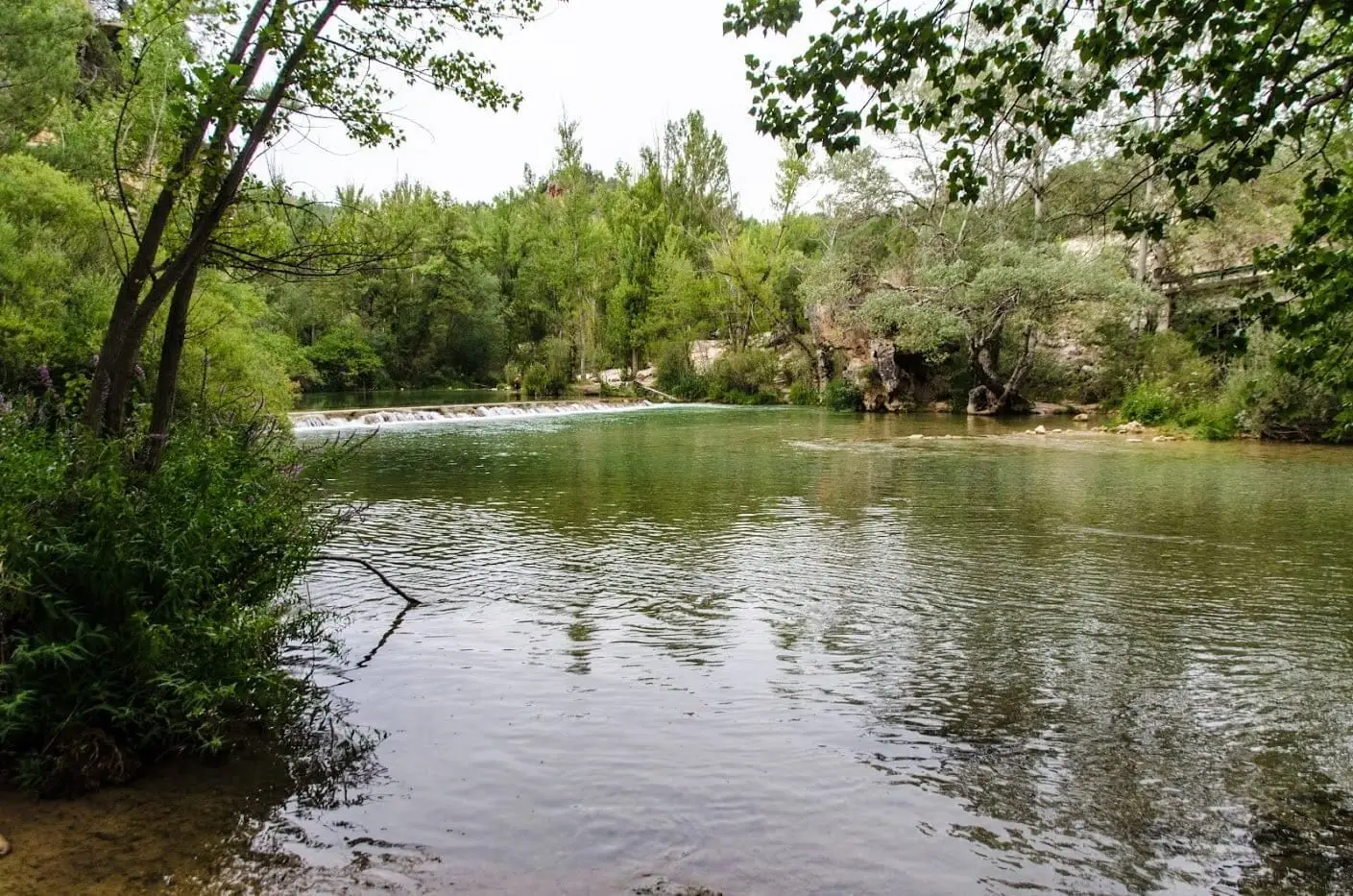
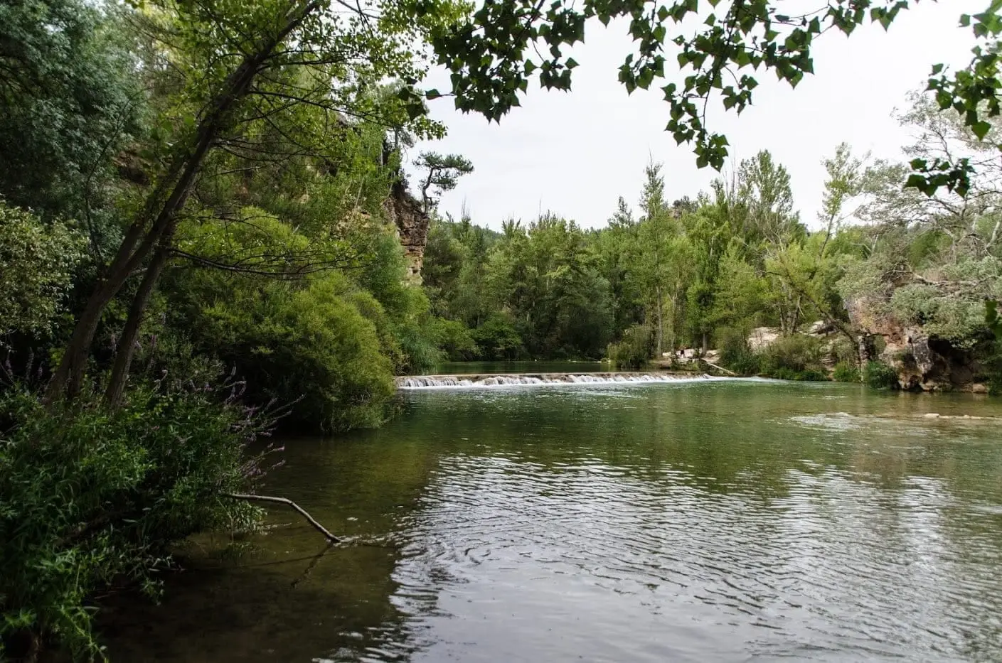
The Puente de San Pedro crosses the Tagus River right at its confluence with the Gallo, near Zaorejas. After heavy rains a striking sight appears: the Gallo runs red with clays while the Tagus runs milky-white with kaolin, flowing side by side in two distinct colours for hundreds of metres. Starting point for walks.
Rivers and basins
The thread of water from Puente de San Pedro: where the Tagus and Gallo meet
Follow these watercourses towards their confluences, villages, and basin history.
Lands and landscapes
From here, follow the memory of the territory
These readings connect Puente de San Pedro: where the Tagus and Gallo meet with the history, work, and villages around it.
This place across time
Which eras you can read here
A single place can preserve traces from different eras. These layers connect what you see with the stories in the atlas.
- Best season
- Spring and summer
- Municipality
- Zaorejas
- Province
- Guadalajara
- Altitude
- 911 m
- Tagus-Gallo confluence
- Two-coloured river
- Riverside woodland
- Otter
Two rivers that refuse to mix
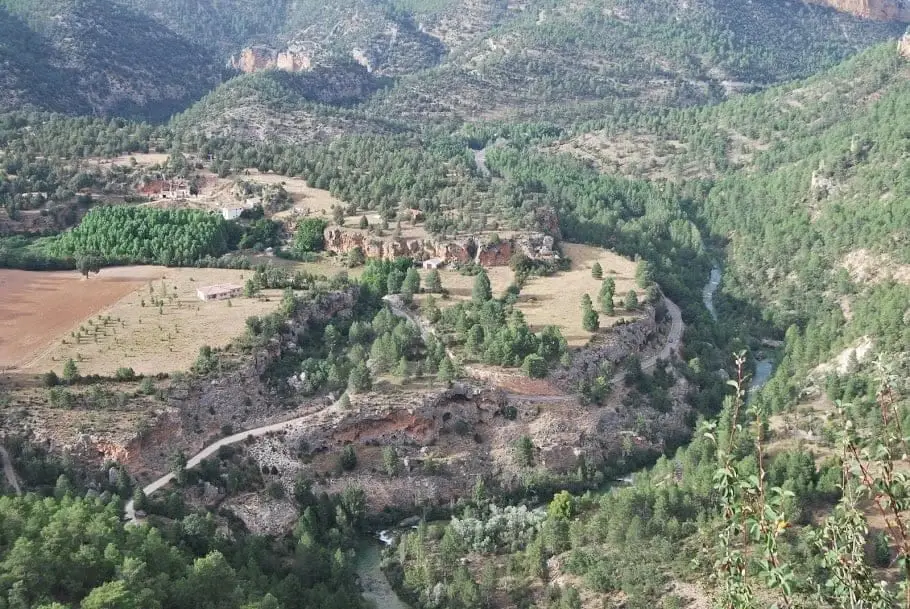
The Tagus and the Gallo arrive at the bridge having flowed across very different terrain, and their water shows it. After heavy rains, when both rise and wash down sediment, the Gallo turns deep red from red sandstone sands and clays, while the Tagus runs milky white from kaolin. Under the bridge they meet, and for several hundred metres each bank keeps its own colour.
Riverside woodland
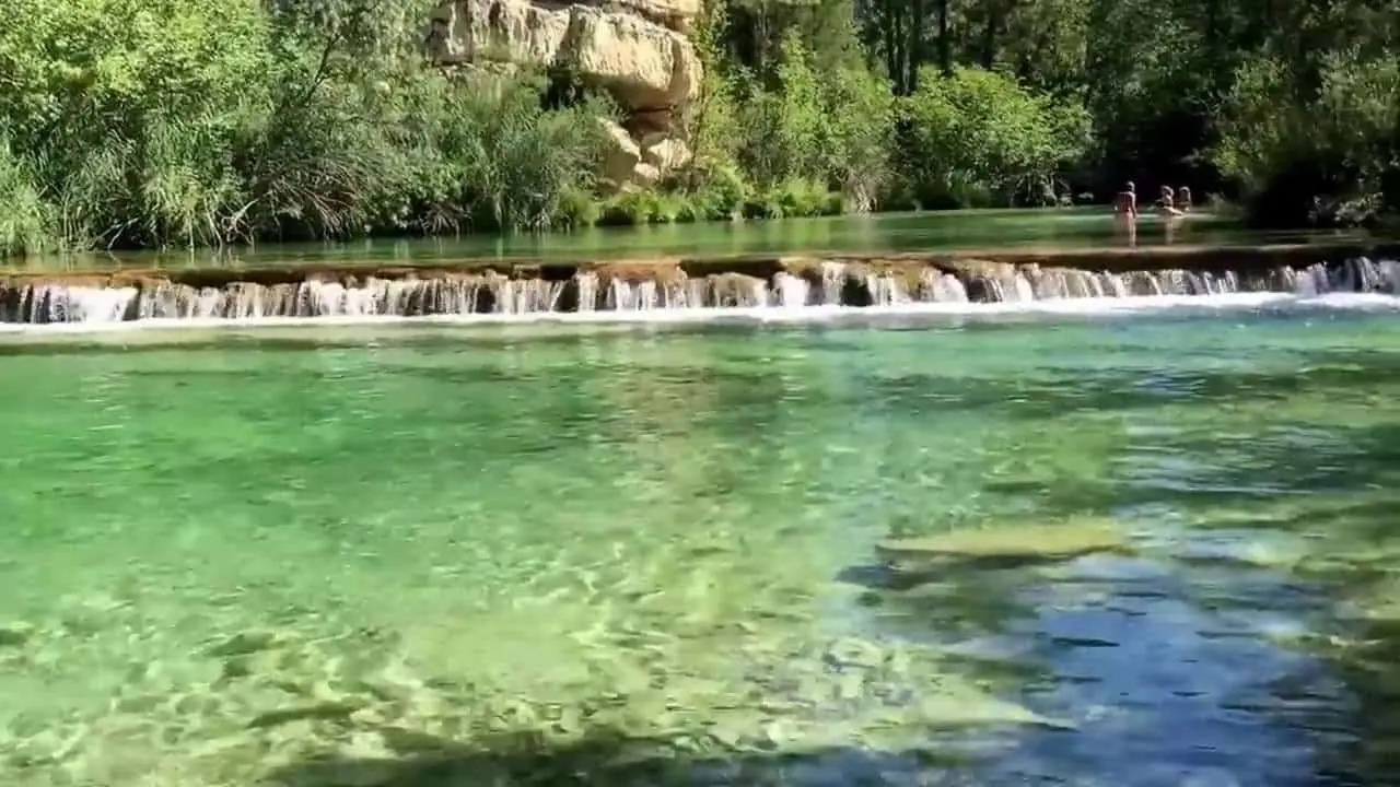
The banks are lined with gallery woodland of willows, poplars, hazels, and dogwoods, along with occasional birches and mountain ashes. It provides habitat for otters and water-dependent birds like the white-throated dipper and grey wagtail, alongside robins and chiffchaffs.
What to do
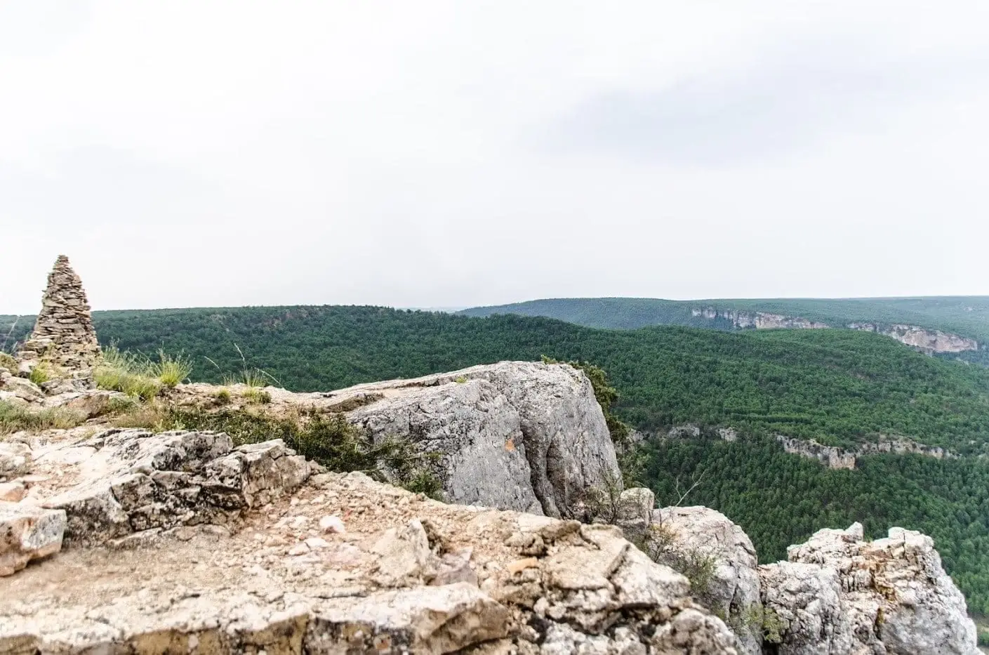
It serves as a natural base for exploring: the Mirador del Tajo, La Escaleruela, and Castillo de Alpetea are all nearby, and the GR-113 and Georuta 4 toward the Zaorejas viewpoint pass right here.
Planning the visit
Plan a stop to take in the confluence and riverside trees. If adding a trail, take the estimated time from its specific page.
Before you go
The colour contrast depends on sediment runoff and cannot be guaranteed on any given day. Do not approach the water’s edge during flood surges; check parking arrangements during high season.
Pairing your trip
Continue with the Puente de San Pedro – Mirador de Zaorejas trail. Check its page to see if it fits into your visit.
Photo: El Observario
Frequently asked questions
Where is Puente de San Pedro?
On the CM-2015 road between Molina de Aragón and Zaorejas, a few kilometres before reaching Zaorejas. There is parking next to the bridge.
Why does the river have two colours?
Because each river drains different geology. With heavy rains, the Gallo carries red sand and clay while the Tagus carries white kaolin particles; upon meeting, they take a long stretch to fully mix.
Location
● Reference point · ● Villages · ● Places
Location diagram. Detailed map with tracks and names loads on zoom.
Reference villages: Villar de Cobeta · Cuevas Labradas · Zaorejas · Buenafuente del Sistal.
Open the full map and historical layers →