Village · Guadalajara · 1,149 m
Torete
Torete is a small village in the Alto Tajo at around 1,150 metres, where the Gallo River arrives after exiting the Barranco de la Hoz canyon. It has a shaded poplar recreation area by the river right in the village.
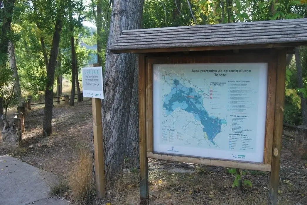
Rivers and basins
The thread of water from Torete
Follow these watercourses towards their confluences, villages, and basin history.
What to see
The recreation area on the Gallo River.
Nearby
The Barranco de la Hoz, a few kilometres away along the Corduente road.
Places in and around Torete
Routes linked to Torete
Near Torete
Cuevas Labradas folds: rocks folded like an accordion
Cuevas Labradas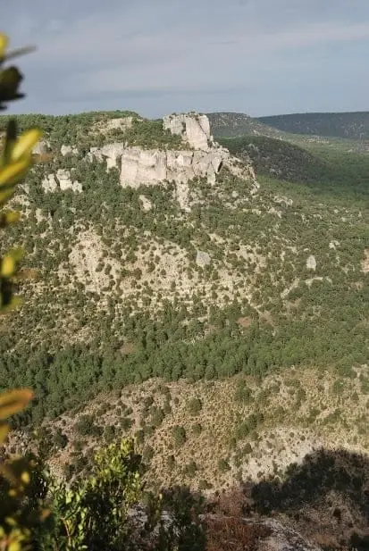
Las Molatillas (Cuevas Labradas): viewpoint over San Pedro and Alpetea
Cuevas Labradas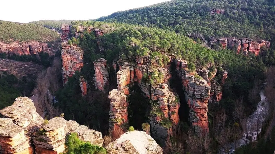
Sanctuary of the Virgen de la Hoz: the hermitage beneath red cliffs
Corduente, Ventosa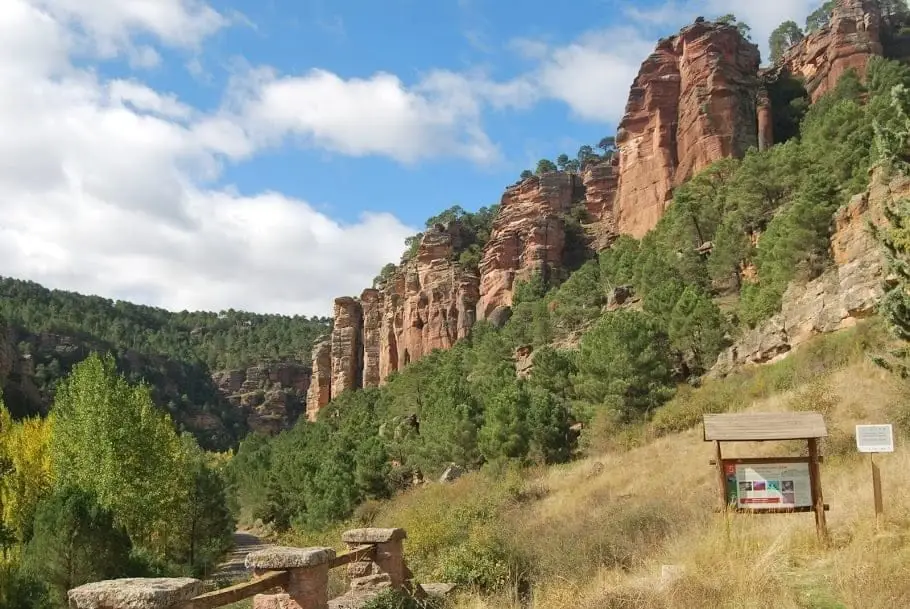
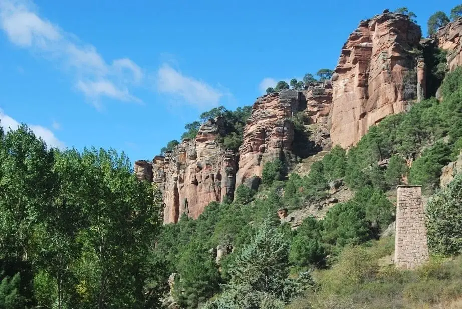
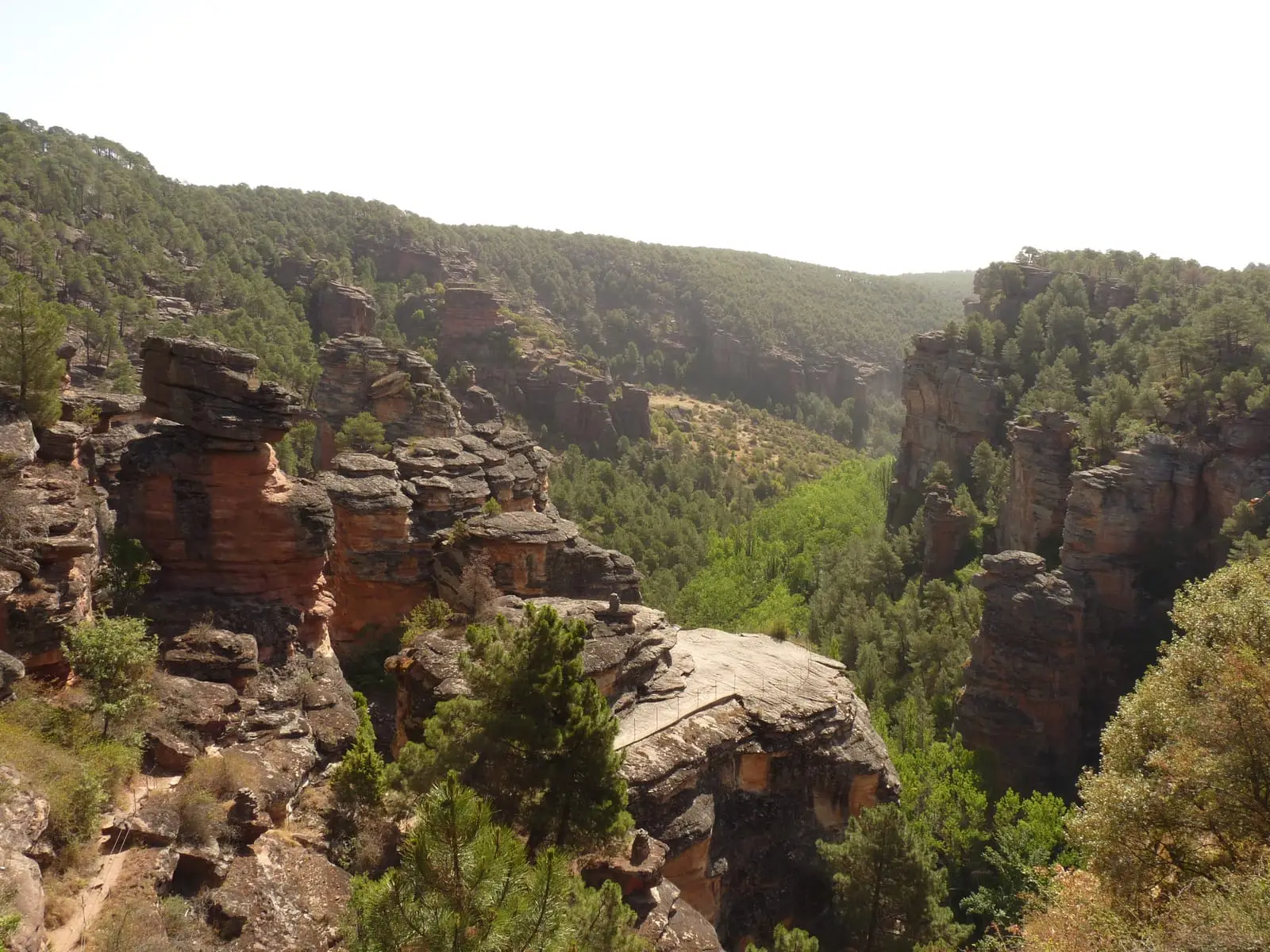
Barranco de la Hoz: the red canyon of the Gallo River
Corduente, VentosaEl Huso: the stone monolith of Barranco de la Hoz
Corduente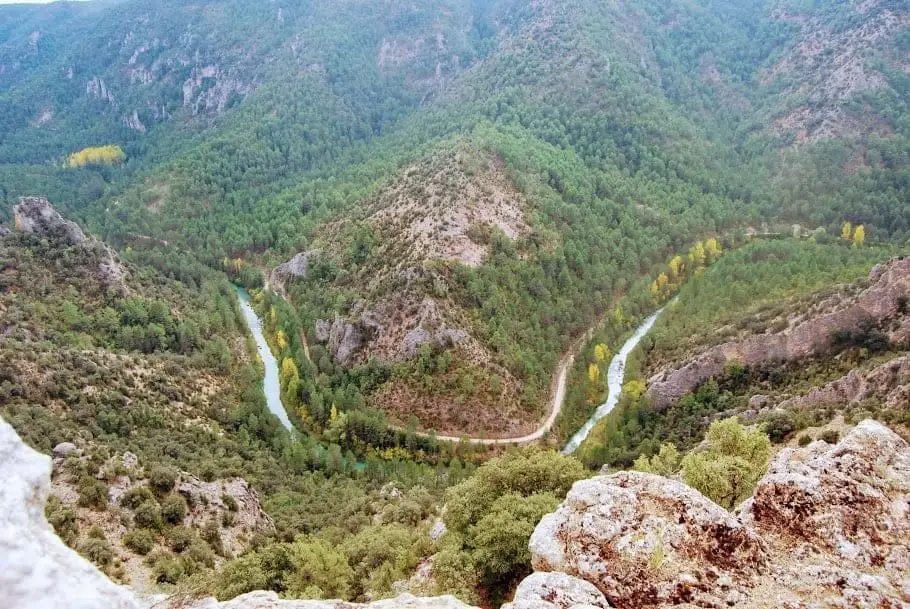
Puntal del Pancho (Lebrancón): window onto the Tagus canyon
Lebrancón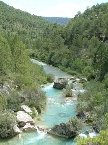
La Herrería de Lebrancón recreation area
LebrancónTrail 9: Puntal de la Cabeza (Lebrancón)
8 km · 2.5 h · CircularPopulation of Torete, 1842–1970
Torete reached a peak of 312 inhabitants in 1970 ; in 1970 it had 312, before merging into the municipality of Corduente.
Climate in Torete month by month
2015–2024 averages from Copernicus ERA5 reanalysis for an altitude of approx. 1,149 m. Useful for planning, not a substitute for live forecasts.
Location
● Reference point · ● Villages · ● Places
Location diagram. Detailed map with tracks and names loads on zoom.
Reference villages: Cuevas Labradas · Lebrancón · Ventosa · Corduente.
Open the full map and historical layers →