Viewpoint · Lebrancón
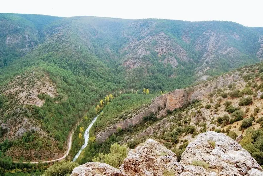
Puntal del Pancho (Lebrancón): window onto the Tagus canyon
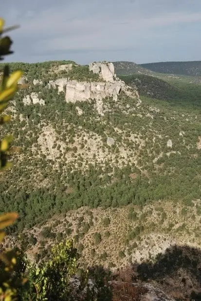
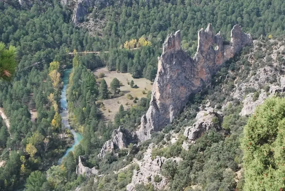
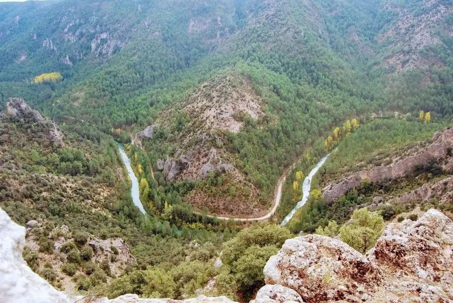
El Puntal del Pancho is an unfenced natural balcony over the Tagus canyon in Lebrancón. It looks down on turquoise river water, a graceful meander, and the limestone outcrop called Castillo de Garabatea, with griffon vultures frequently soaring by. Reached via the Miradores del Tajo trail or a track from Olmos de la Soledad.
Lands and landscapes
From here, follow the memory of the territory
These readings connect Puntal del Pancho (Lebrancón): window onto the Tagus canyon with the history, work, and villages around it.
- Best season
- All year round
- Municipality
- Lebrancón
- Province
- Guadalajara
- Unfenced
- Castillo de Garabatea
- Meander
- Vultures
- BTT Route 2
Take in the view with care
This is not a built viewpoint and has no railings, but its perch over the canyon makes it an outstanding window onto the gorge. You can appreciate the depth of the ravines, the river’s turquoise water, a striking meander, and on the canyon floor, a limestone pillar known as Castillo de Garabatea.
How to get there
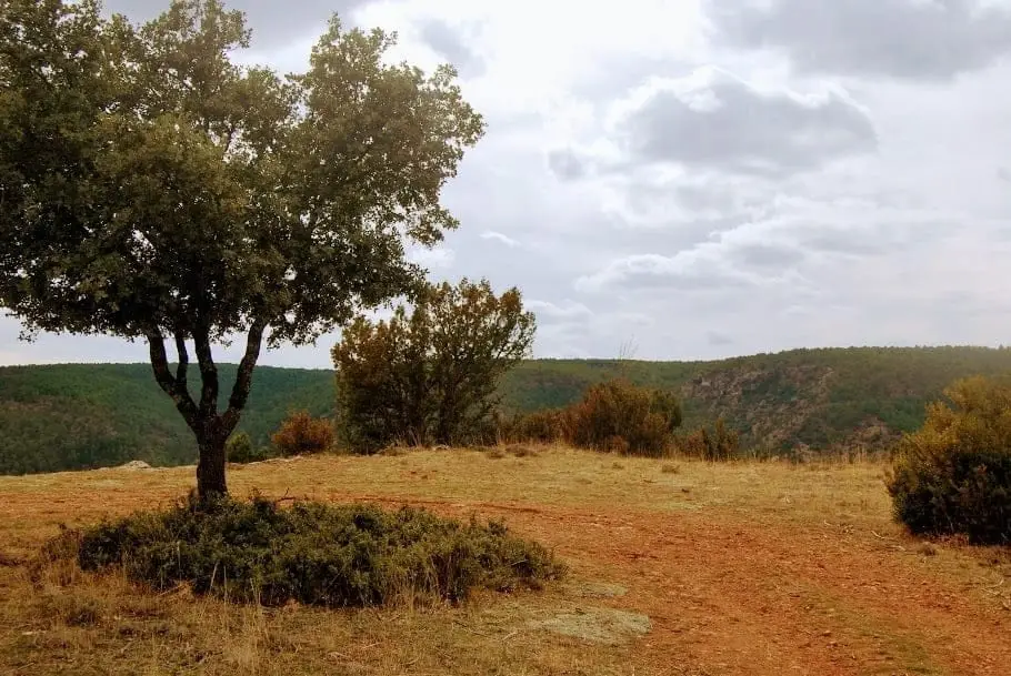
Via the Ruta BTT 2, Los Miradores del Tajo trail, starting from Taravilla. From Lebrancón, the track leaving from Olmos de la Soledad climbs onto the plateau until meeting the orange route markers.
Photo: El Observario
Location
● Reference point · ● Villages · ● Places
Location diagram. Detailed map with tracks and names loads on zoom.
Approximate position: village centre.
Reference villages: Lebrancón · Escalera · Cuevas Labradas · Torete.
Open the full map and historical layers →