Geosite · Cuevas Labradas
Cuevas Labradas folds: rocks folded like an accordion
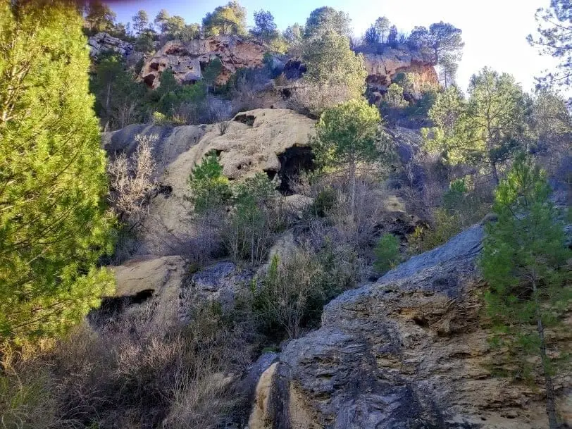
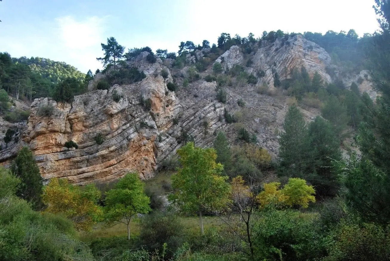
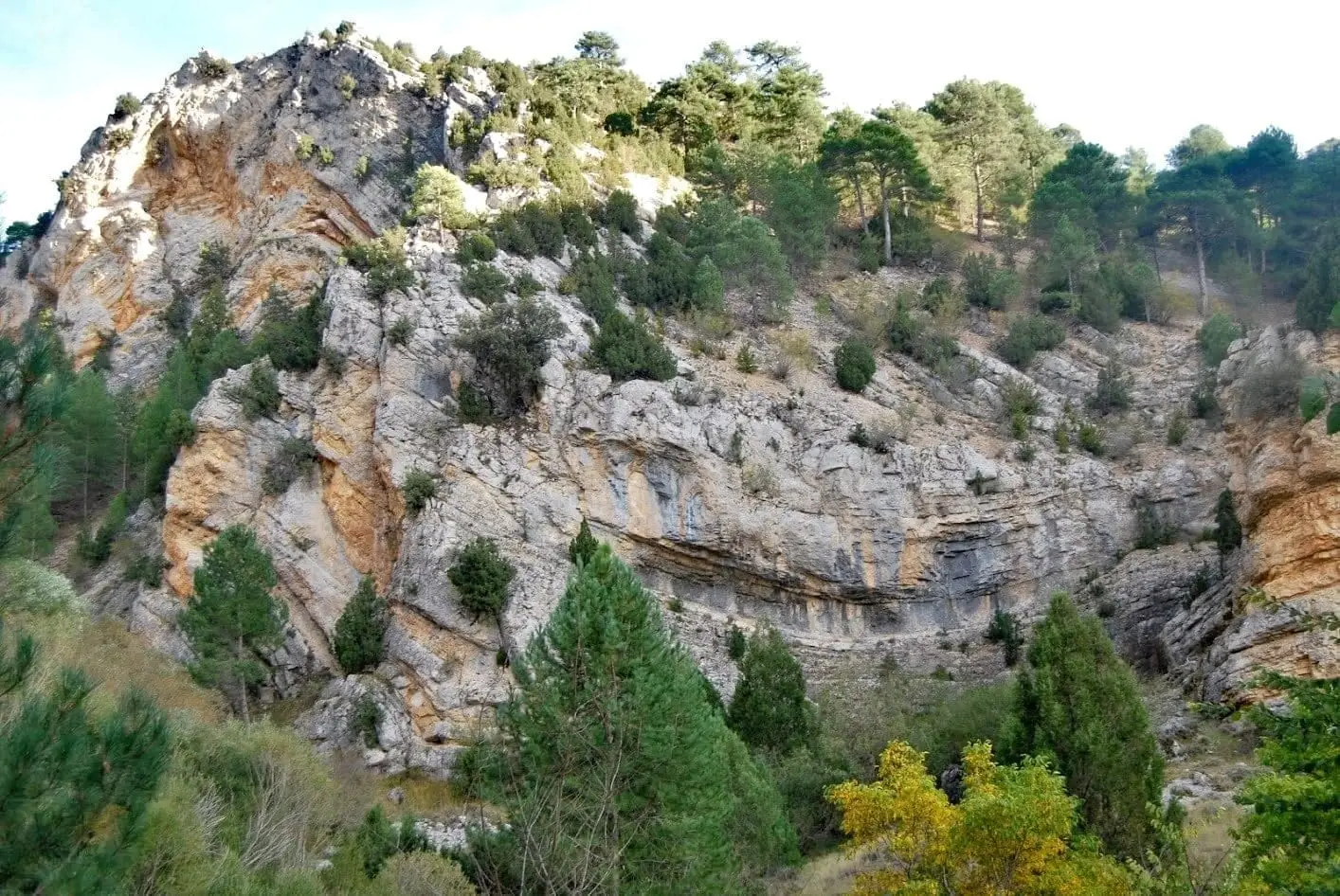
The Cuevas Labradas folds are in the Gallo River gorge, not the village itself. They are Jurassic strata deposited in a tropical sea, folded by the Alpine orogeny in the Tertiary into tight, accordion-like zigzags. The landscape follows these folds: ridges match the anticlines.
This place across time
Which eras you can read here
A single place can preserve traces from different eras. These layers connect what you see with the stories in the atlas.
- Municipality
- Cuevas Labradas
- Province
- Guadalajara
- Alpine folds
- Jurassic
- Gallo gorge
- Georoute 5
A folded tropical sea
These rock layers were laid down during the Jurassic on the floor of a warm, shallow sea. Millions of years later, in the Tertiary, tectonic forces that raised the Alps and Pyrenees compressed this region, folding the strata like sheets of paper.
Where to see them
In the Gallo River gorge, near Cuevas Labradas (not in the village itself). Here the folds are accordion-like, with sharp angular hinges. Notice how the hills mimic them: ridges correspond to anticlines, while side slopes follow the fold limbs. Another major set of Alpine folds lies around Peñalén and Poveda, in the Barranco de la Hoz ravine.
Georuta 5 links these folds with Barranco de la Hoz.
Location
● Reference point · ● Villages · ● Places
Location diagram. Detailed map with tracks and names loads on zoom.
Approximate position: village centre.
Reference villages: Cuevas Labradas · Lebrancón · Torete · Escalera.
Open the full map and historical layers →