Village · Guadalajara · 1,055 m
Cuevas Labradas
Cuevas Labradas is an Alto Tajo village at about 1,050 metres above the Gallo river gorge. Nearby are accordion-like Alpine folds and a Jurassic marine fossil site, with tracks reaching the Hontanar shelter and Las Molatillas, overlooking the confluence of the Tagus and the Gallo.
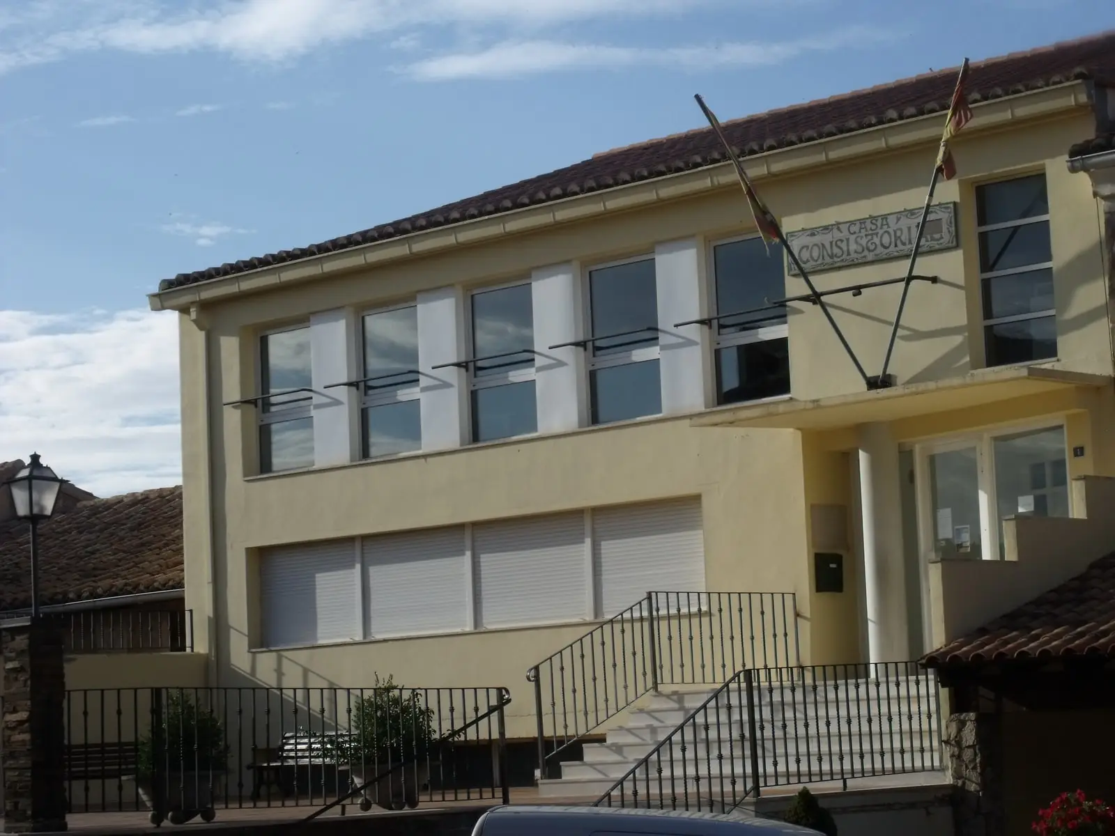
Traces in the village and its surroundings
Which eras you can read here
A single place can preserve traces from different eras. These layers connect what you see with the stories in the atlas.
1936–1939 · memory of the territory
The war in the village memory
The war also reached the work of the pine woods. Among LURE’s resin workers called up for military service were 11 workers from this village. Their story connects the memory of the woods with those who had to leave their trade during the conflict.
Source: Berlanga, capítulo 9, pp. 346–347.
Read the story of the river frontline →What to see
- Folds of Cuevas Labradas, in the Gallo canyon.
- Marine fossil site.
- Hontanar shelter and Las Molatillas, overlooking San Pedro and Alpetea.
Routes
Georuta 5 links the village with the Barranco de la Hoz.
Places in and around Cuevas Labradas
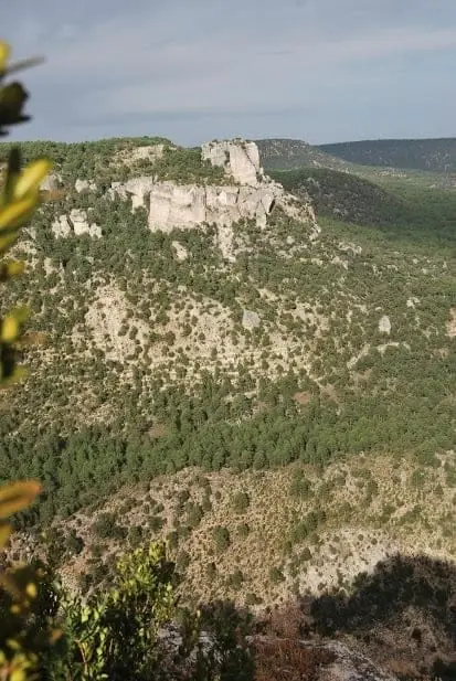
Routes linked to Cuevas Labradas
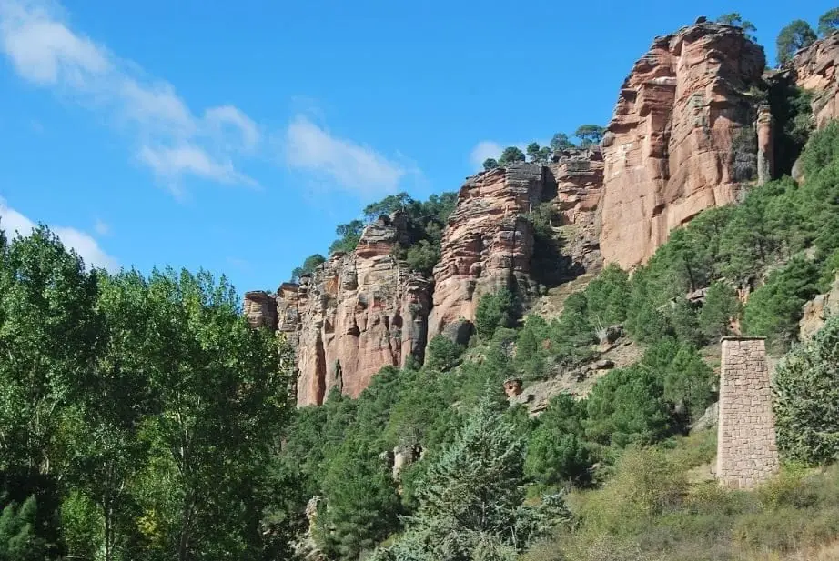
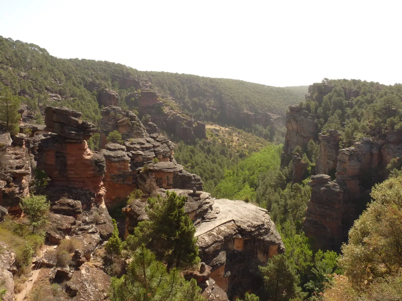
Near Cuevas Labradas
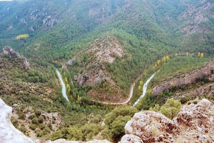
Puntal del Pancho (Lebrancón): window onto the Tagus canyon
Lebrancón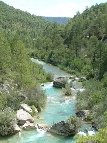
La Herrería de Lebrancón recreation area
LebrancónTrail 9: Puntal de la Cabeza (Lebrancón)
8 km · 2.5 h · Circular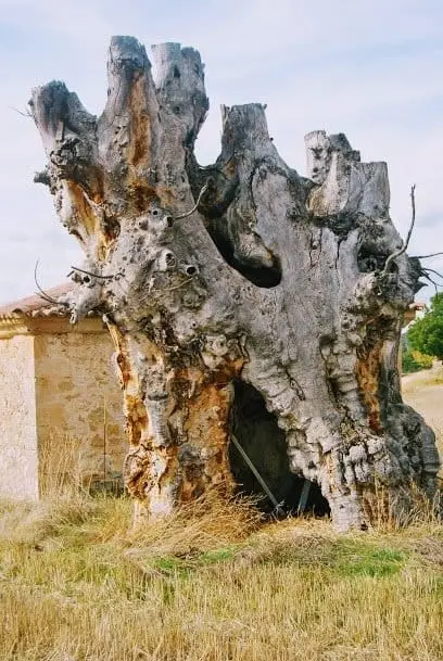
Olmos de la Soledad (Lebrancón)
Lebrancón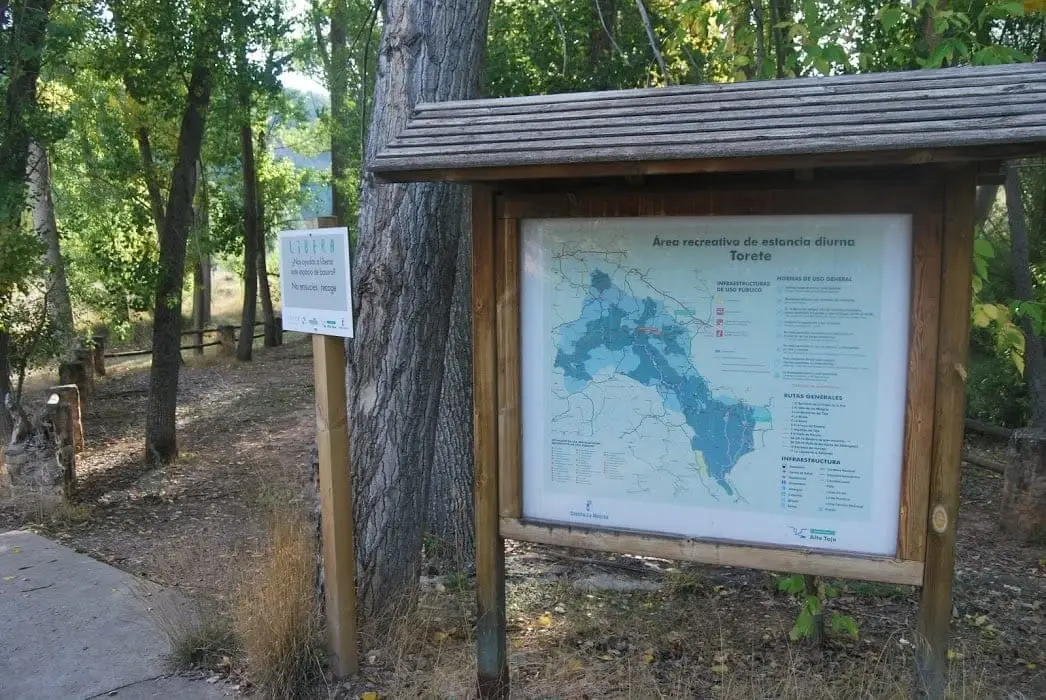
Gallo River recreation area in Torete
Torete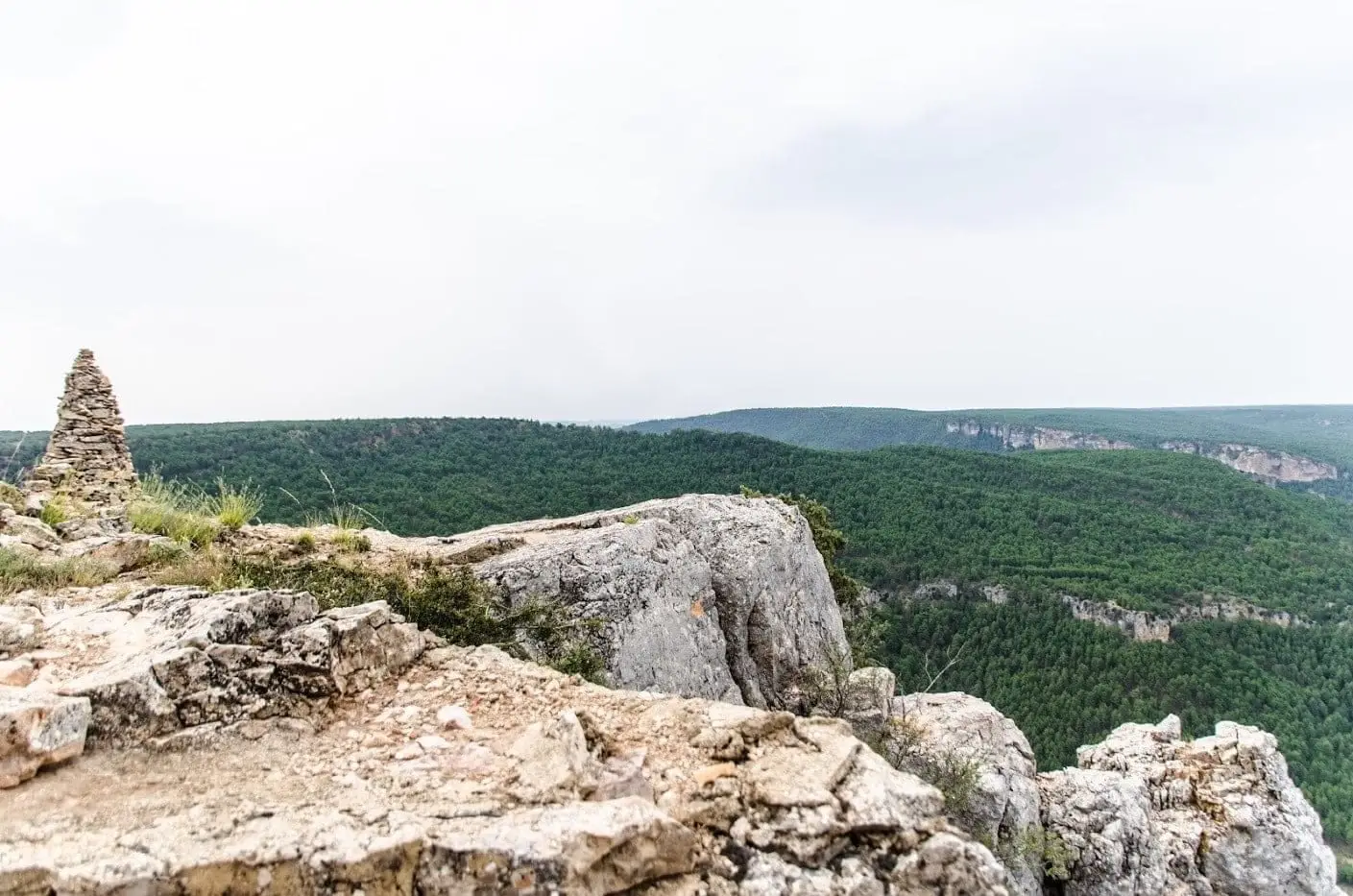
Castillo de Alpetea: legend and Spanish Civil War memory
Villar de Cobeta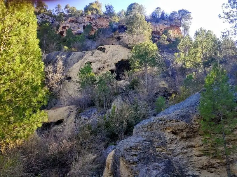
La Escaleruela: the stepped tufa waterfall of Zaorejas
Zaorejas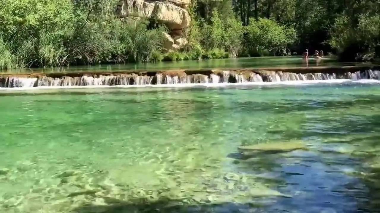
Puente de San Pedro: where the Tagus and Gallo meet
ZaorejasPopulation of Cuevas Labradas, 1842–1960
Cuevas Labradas reached a peak of 265 inhabitants in 1930 ; in 1960 it had 184, before merging into the municipality of Torete.
Climate in Cuevas Labradas month by month
2015–2024 averages from Copernicus ERA5 reanalysis for an altitude of approx. 1,055 m. Useful for planning, not a substitute for live forecasts.
Location
● Reference point · ● Villages · ● Places
Location diagram. Detailed map with tracks and names loads on zoom.
Reference villages: Lebrancón · Torete · Escalera · Villar de Cobeta.
Open the full map and historical layers →