Waterfall · Zaorejas
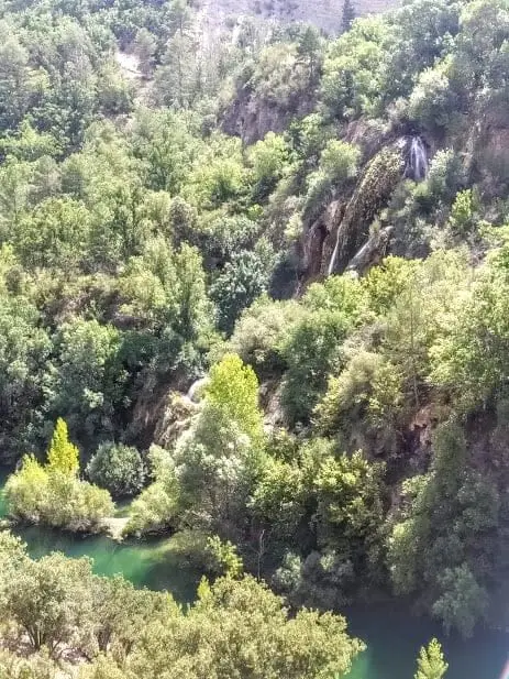
La Escaleruela: the stepped tufa waterfall of Zaorejas
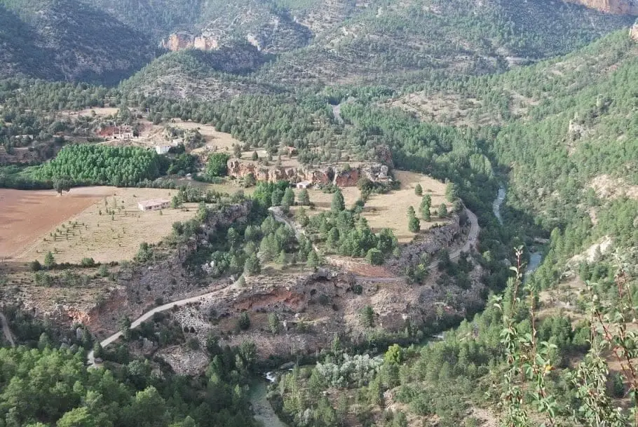
La Escaleruela is a stepped tufa waterfall barely a kilometre from Puente de San Pedro, in Zaorejas. It is an active tufa formation fed by a spring in the Ciño Negro ravine, so it only flows in wet periods: in winter it can freeze over, while in summer it is usually dry.
Lands and landscapes
From here, follow the memory of the territory
These readings connect La Escaleruela: the stepped tufa waterfall of Zaorejas with the history, work, and villages around it.
This place across time
Which eras you can read here
A single place can preserve traces from different eras. These layers connect what you see with the stories in the atlas.
- Best season
- Winter and spring
- Municipality
- Zaorejas
- Province
- Guadalajara
- Altitude
- 1,181 m
- Intermittent waterfall
- Active tufa
- Barranco del Ciño Negro
- Can freeze
A stone staircase
Its name explains it all: the tufa has built up in steps, one over another, creating a tiered waterfall. It is one of the best examples of an active tufa building in the Park and pairs well with the tufa formations at nearby Puente de San Pedro.
Water from underground
The water comes from a spring that forms a small turquoise pool at the bottom of the Barranco del Ciño Negro. The pool rarely runs dry, but only in wet months does it overflow enough to tumble down the cascade. As a result, the formation grows in bursts: when water flows, it deposits lime; when it stops, growth pauses.
When to go
In winter and spring. During hard frosts, the cascade can freeze solid, creating an uncommon sight. It can be seen well from the Mirador del Tajo, right next to it.
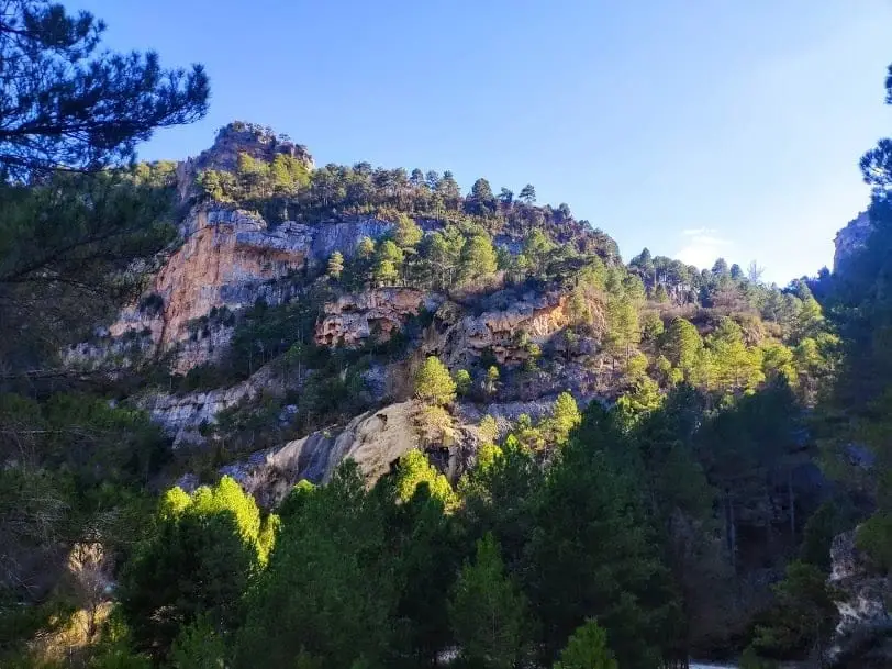
Photo: El Observario
Frequently asked questions
When does La Escaleruela have water?
Mainly in winter and during rainy springs, when the spring feeding it has enough flow. In summer the waterfall is usually dry.
Location
● Reference point · ● Villages · ● Places
Location diagram. Detailed map with tracks and names loads on zoom.
Reference villages: Zaorejas · Cuevas Labradas · Villar de Cobeta · Lebrancón.
Open the full map and historical layers →