Castle · Villar de Cobeta
Castillo de Alpetea: legend and Spanish Civil War memory
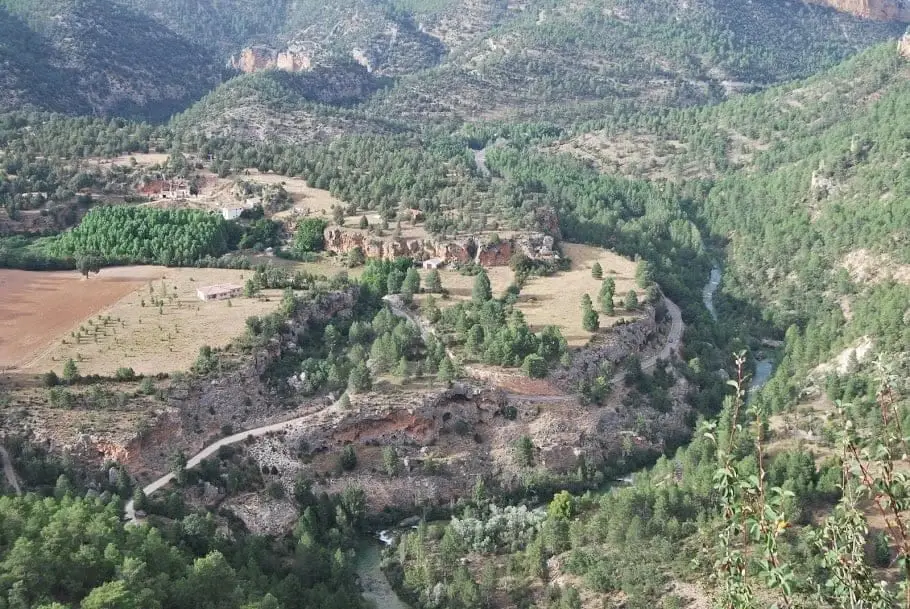
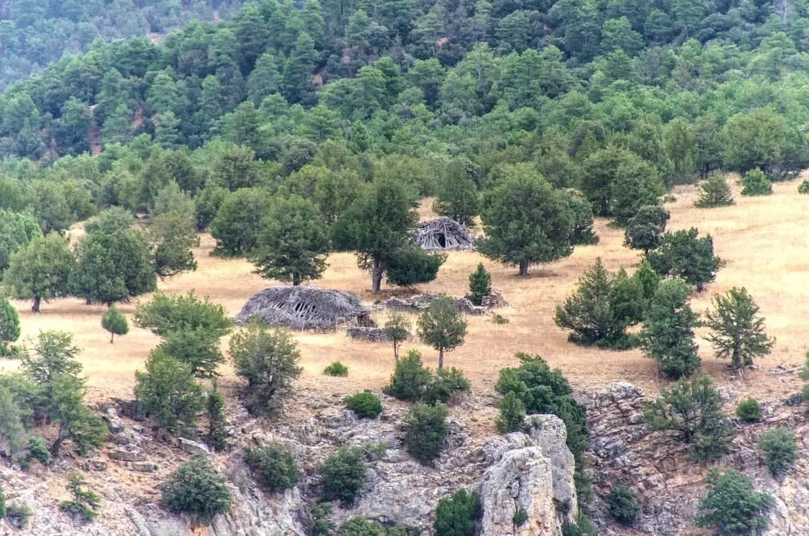
The so-called Castillo de Alpetea, overlooking the confluence of the Tagus and Gallo rivers, is not a castle. Legend places the stronghold of the Muslim warrior Montesinos here in the 10th century, while others see merely a castle-shaped rock outcrop. What does exist are Spanish Civil War trenches that controlled the Puente de San Pedro.
Lands and landscapes
From here, follow the memory of the territory
These readings connect Castillo de Alpetea: legend and Spanish Civil War memory with the history, work, and villages around it.
This place across time
Which eras you can read here
A single place can preserve traces from different eras. These layers connect what you see with the stories in the atlas.
- Municipality
- Villar de Cobeta
- Province
- Guadalajara
- Altitude
- 1,227 m
- Legend of Montesinos
- Civil War trenches
- View of Puente de San Pedro
A castle that is not there
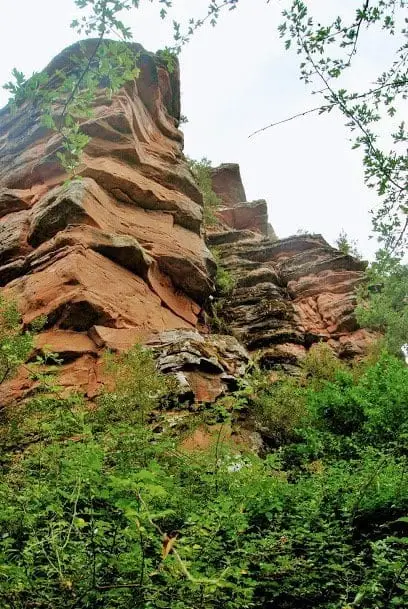
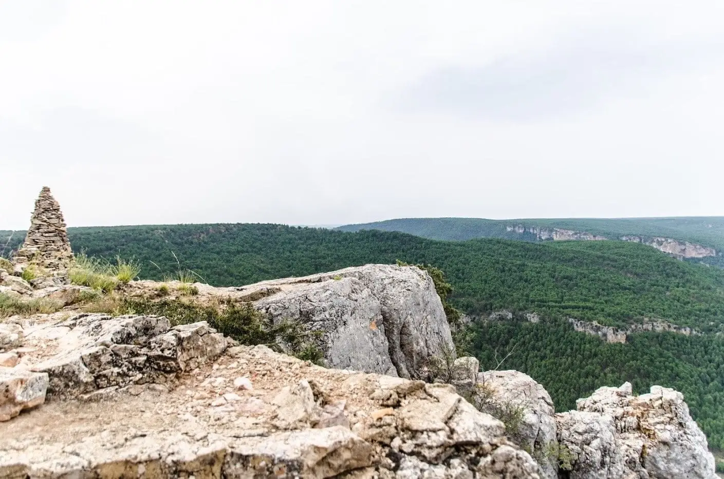
Do not expect to see medieval ramparts. Local legends place a 10th-century fortress here belonging to the Muslim warrior Montesinos, the same figure featured in the legend of the Virgen de Montesinos. Others see simply a rock formation that from a distance resembles the silhouette of a castle.
What is actually preserved
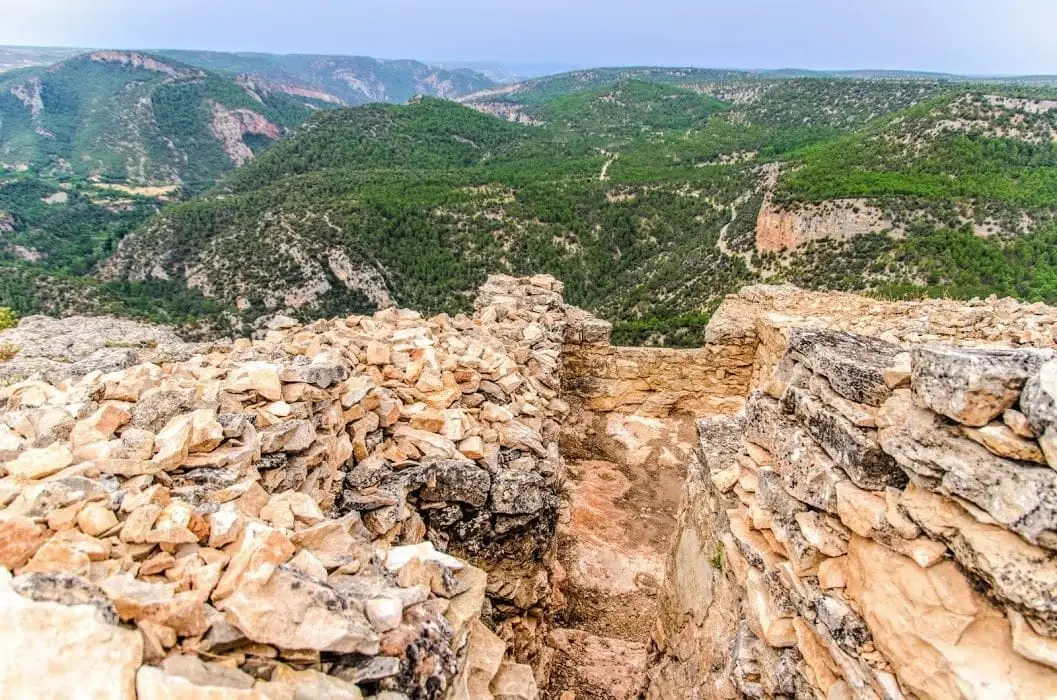
A fortified position from the Spanish Civil War positioned directly above the Puente de San Pedro. The trenches zigzag through the bedrock, accompanied by two machine-gun nests and inscriptions etched into concrete dating from that wartime front. From this high ground, the river crossing was kept under close observation. The toponym evokes legend; the physical remains belong to a much more recent conflict. Follow the historical account in the river front narrative.
Photo: El Observario
Location
● Reference point · ● Villages · ● Places
Location diagram. Detailed map with tracks and names loads on zoom.
Reference villages: Villar de Cobeta · Cuevas Labradas · Olmeda de Cobeta · Cobeta.
Open the full map and historical layers →