Route · Corduente, Ventosa, Torete, Cuevas Labradas
Georuta 5: Geotrail 5: from Barranco de la Hoz to Cuevas Labradas
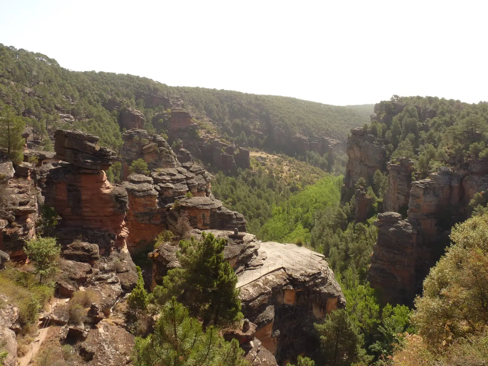
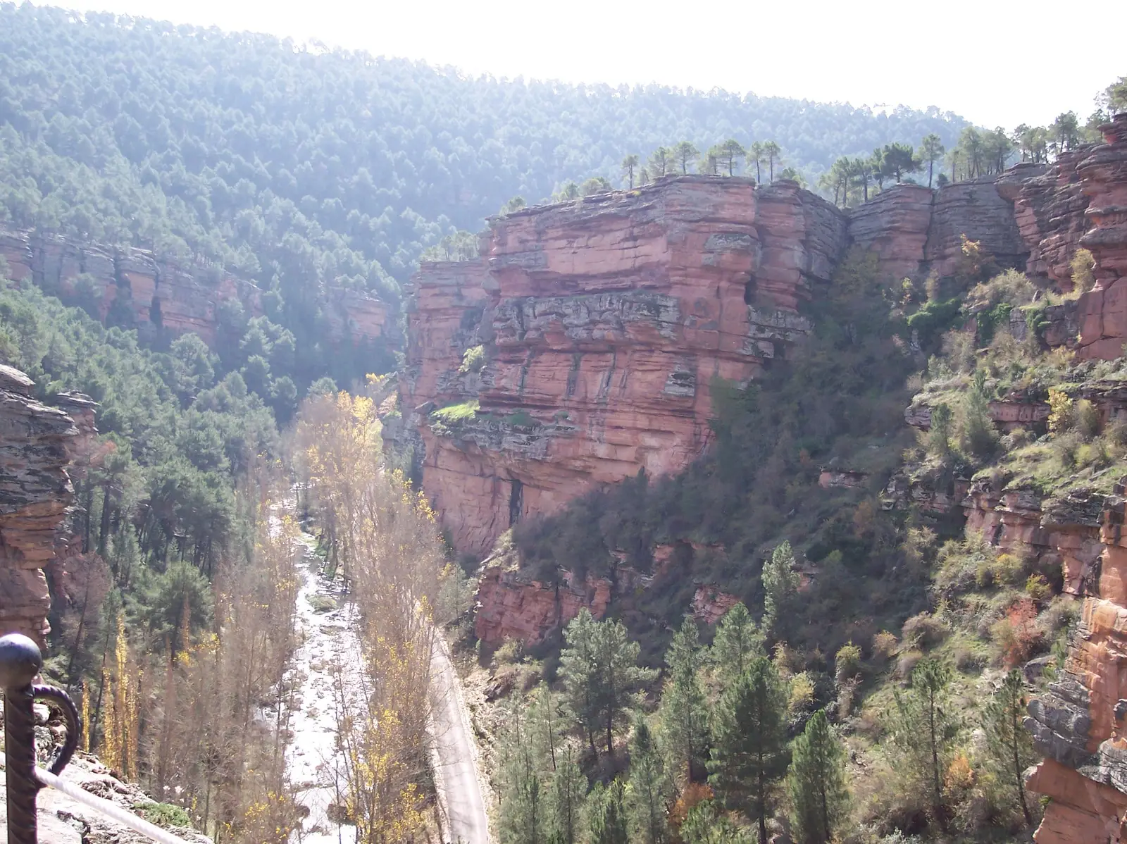
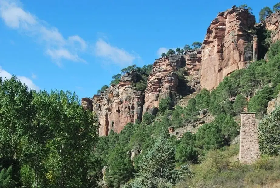
Geotrail 5, around 15 km with 12 stops, is “a journey towards the sea”: from the sandstones of ancient rivers in Barranco de la Hoz to the limestones of shallow seas at Cuevas Labradas, recording how the sea flooded the continent between the Triassic and Jurassic, around 200 million years ago. Travel by car or bike, with walks up to the viewpoints.
- Code
- Georuta 5
- Distance
- 15 km
- Duration
- 4 h
- Trail type
- Linear
- Difficulty
- Easy
- Altitude
- 1,064 m
Walking duration without transfers or stops. Check in the official source whether distance and time include the return leg. Difficulty rated according to the official source; verify its conditions and notices. “Easy” does not imply wheelchair or stroller accessibility.
- Georuta 5
- 12 stops
- A journey towards the sea
- Walking viewpoints
How to travel the route
Georoutes are not conventional trails: they are itineraries with numbered stops, panels, and outcrop plaques, linked by car or bicycle, with some sections on foot. The official self-guided brochure explains each stop.
The stops
- 1 to 3: from the Forest Ranger monument along the Barranco de la Hoz road, to the monolith of El Huso (best walked, no parking turnout) and the sanctuary guesthouse.
- 4 to 6: on foot from the hermitage of Virgen de la Hoz to the viewpoints of the canyon; ascending to the highest balcony is highly rewarding.
- 7 and 8: downhill along the road towards Torete, and then towards the Cuevas Labradas canyon.
- 9 to 12: along an unpaved track before Cuevas Labradas, with a river ford, plaques, an experimental zone, and the concluding panel beside the geological folds.
From river to sea
More than 50 million years of gradual marine transgression are recorded in the rock: first ancient rivers, then coastal shores, and finally shallow seas. Pair this route with a visit to the Dehesa de Corduente Interpretation Centre.
Before you set out
Carry water, mountain footwear, and download the GPS track in advance: mobile reception is absent in many areas. Check the forecast on Today in the Alto Tajo and the official trail sheet for notices and closures, and respect seasonal restrictions during raptor breeding periods.
Official route · Parque Natural del Alto Tajo (Junta de Castilla-La Mancha). Description, track and notices on the official guide. Before setting out, verify there whether changes or closures apply.
Location
● Reference point · ● Villages · ● Places · ━ Simplified official route
Location diagram. Detailed map with tracks and names loads on zoom.
Reference villages: Ventosa · Corduente · Valhermoso · Torete.
Open the full map and historical layers →