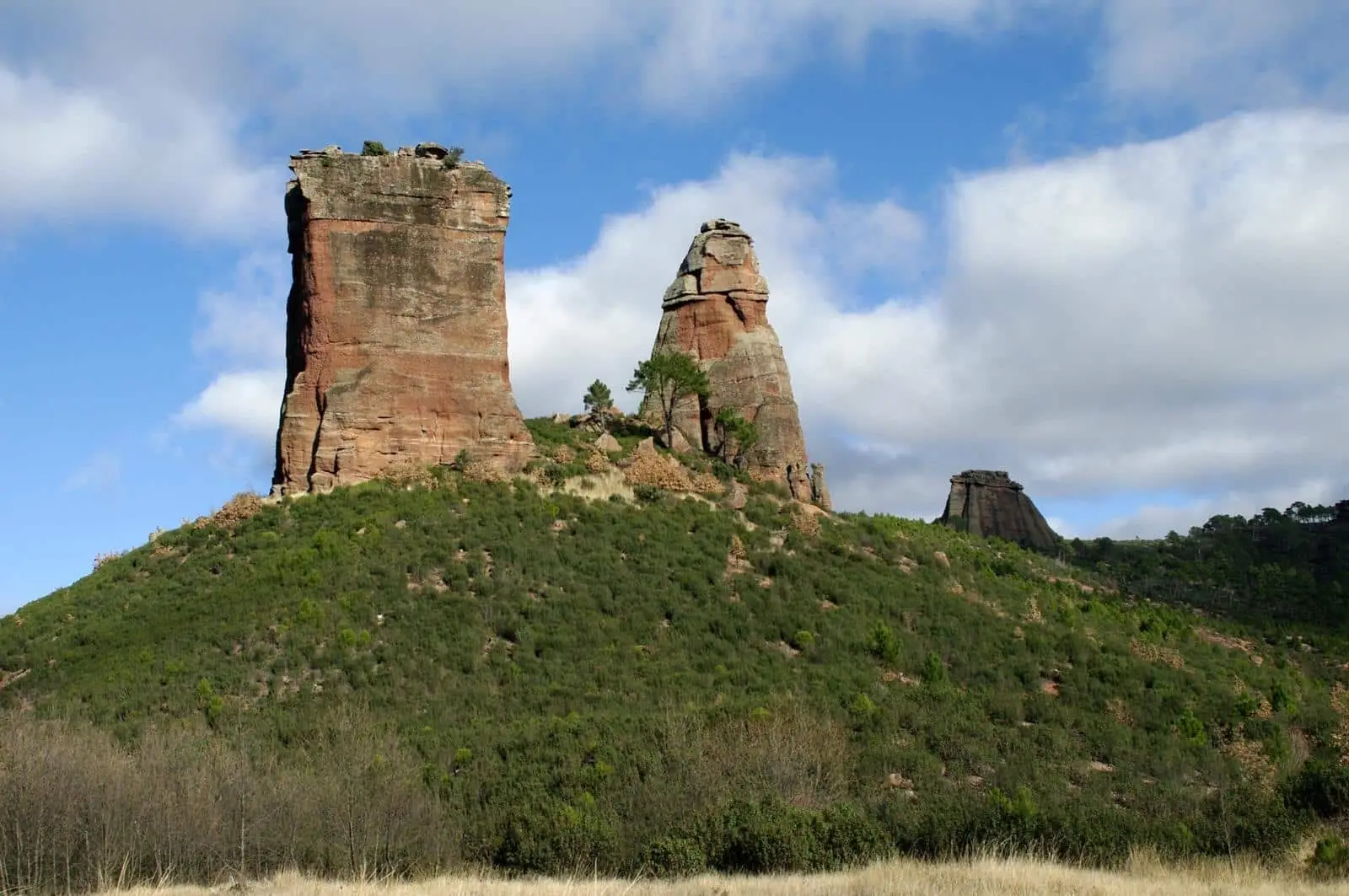
Canyon · Torrecuadradilla
Tajuña Valley in Torrecuadrada: Protected Karstic Canyons
The Tajuña valley in Torrecuadrada is a Natura 2000 site (a Special Area of Conservation and a Special Protection Area) covering almost 2,900 hectares, 580 of them in Torrecuadradilla. The river has carved vertical-sided, flat-bottomed canyons and dry valleys into Cretaceous limestone. Red-billed choughs and golden eagles breed here; goshawks, wildcats, otters and native fish also live here.
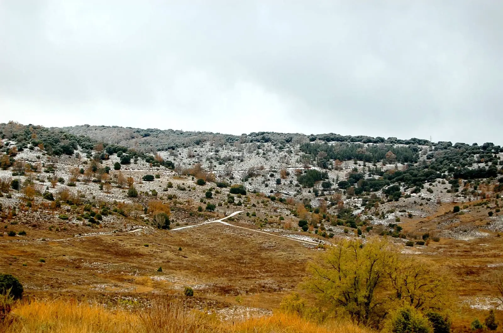
- Municipality
- Torrecuadradilla
- Province
- Guadalajara
- Altitude
- 1,045 m
- SAC and SPA
- Karst canyons
- Otter
- La Muela archaeological site
The upper Tajuña
In the west of the district, the Tajuña incises into Cretaceous limestones, sketching a textbook karst relief: flat-bottomed canyons with sheer vertical walls and dry valleys that have lost their river. The protected area covers around 2,900 hectares around Torrecuadrada de los Valles; some 580 are in Torrecuadradilla.
Life in the valley
On the cliffs breed the red-billed chough and the golden eagle; in the woods, the goshawk and the wildcat. The river provides good habitat for the otter and native fish. For this reason it is a SAC and SPA within the Natura 2000 network.
Three thousand years of history
At the site of La Muela, above the valley, excavations begun in 2016 have documented human occupation spanning from the Late Bronze Age to the Late Roman Empire, with traces of metallurgy.
Location
● Reference point · ● Villages · ● Places
Location diagram. Detailed map with tracks and names loads on zoom.
Reference villages: Luzaga · Tortonda · Alcolea del Pinar · Torrecuadradilla.
Open the full map and historical layers →