Archaeological site · Luzaga
El Castejón of Luzaga: the oppidum of the Celtiberian bronze
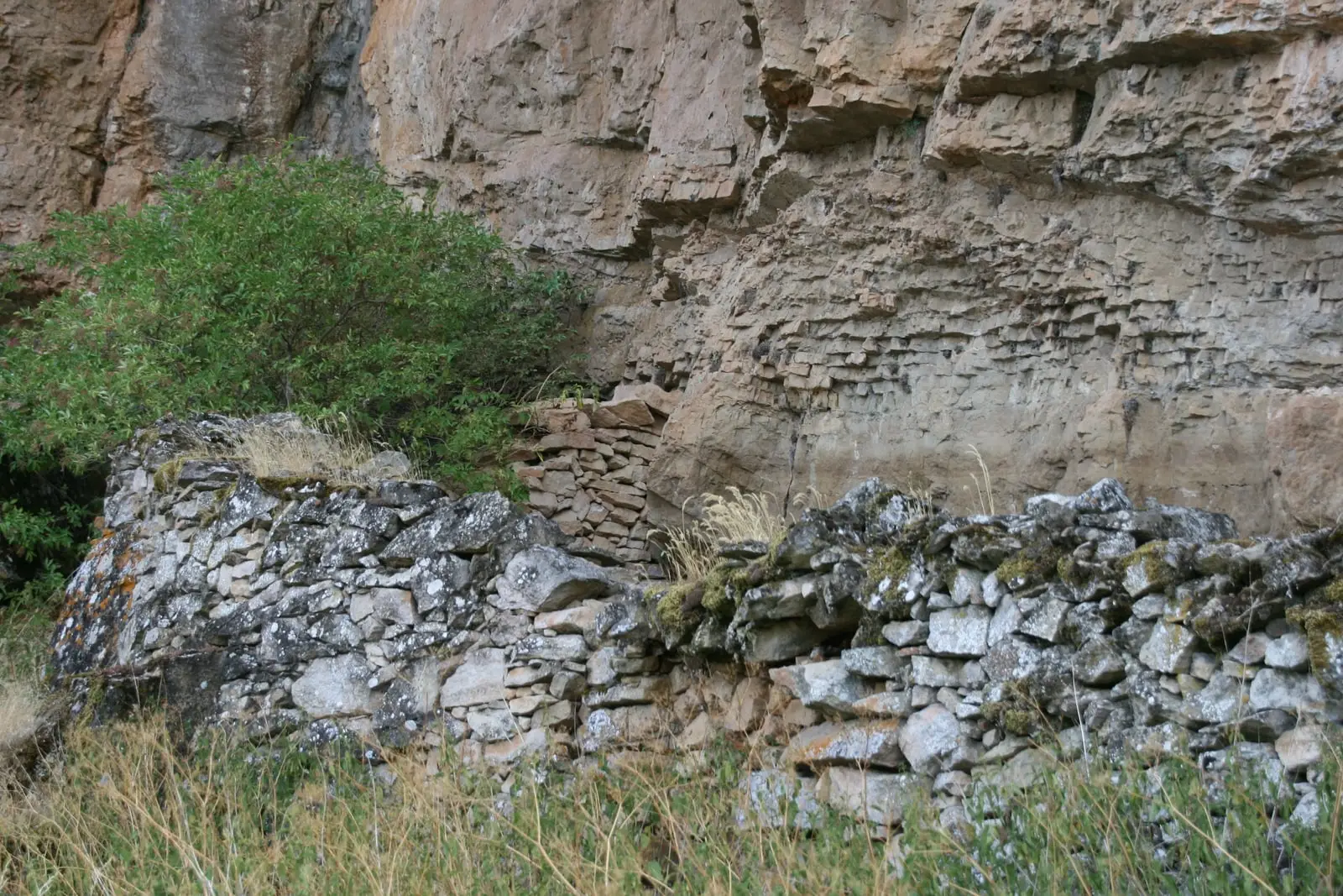
El Castejón is a Celtiberian oppidum situated on a hill beside Luzaga, commanding the Tajuña valley. In the 19th century, the Luzaga Bronze was discovered here, a 1st-century BC plaque written in Celtiberian script interpreted as a hospitality pact between two communities. Some authors associate the site with Lutia from Roman chronicles.
This place across time
Which eras you can read here
A single place can preserve traces from different eras. These layers connect what you see with the stories in the atlas.
- Municipality
- Luzaga
- Province
- Guadalajara
- Altitude
- 1,078 m
- Celtiberian oppidum
- Luzaga Bronze
- 3rd-1st centuries BC
- Tajuña valley
A hill above the Tajuña
North of Luzaga, on the summit of El Castejón hill, stood one of the principal fortified centers of Celtiberia: an oppidum. Recent archaeological investigations have documented massive defensive walls and an urban settlement organized along defined streets.
The bronze plaque
During 19th-century explorations, the Luzaga Bronze (Bronce de Luzaga) was unearthed here: a small bronze plaque dating to the 1st century BC bearing an inscription in the Celtiberian language. While its exact phrasing remains subject to linguistic debate, broad consensus interprets it as a formal hospitality pact (tessera hospitalis) contracted between the communities of Lutiaca and Arecorata. The original artifact is held in a private collection, and researchers have long advocated for broader scholarly access to study it.
Lutia?
Certain historical authors identify this hilltop with Lutia, the Celtiberian city whose young warriors attempted to aid besieged Numantia, prompting severe retribution from Scipio in 133 BC. This geographic identification remains debated. Read more on this era in Celtiberia.
Location
● Reference point · ● Villages · ● Places
Location diagram. Detailed map with tracks and names loads on zoom.
Reference villages: Luzaga · Alcolea del Pinar · Tortonda · Aguilar de Anguita.
Open the full map and historical layers →More archaeological sites and rock art nearby
View all →Roman camp of La Cerca (Aguilar de Anguita)
Aguilar de AnguitaCastro de Hocincavero (Anguita)
AnguitaDolmen of Portillo de las Cortes (Aguilar de Anguita)
Aguilar de Anguita