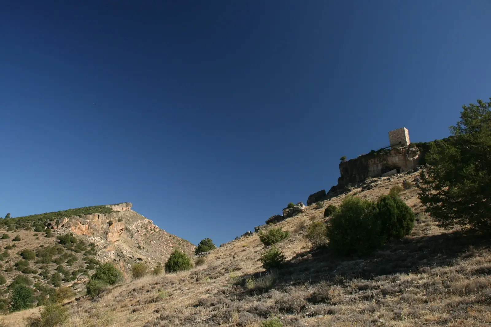
Geosite · Esplegares
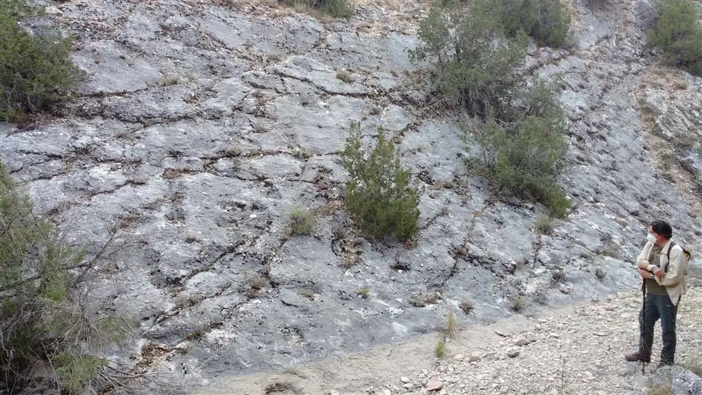
Fossil ray traces of Esplegares, from the Lower Jurassic
In Pozón and Buey ravines near Esplegares, Lower Jurassic (Sinemurian) strata expose pits left by rays foraging for food on the seabed some 190 million years ago. It is the oldest known trace fossil site of this type in Spain; the only other known site, at Isona (Lleida), is Cretaceous.
This place across time
Which eras you can read here
A single place can preserve traces from different eras. These layers connect what you see with the stories in the atlas.
- Municipality
- Esplegares
- Province
- Guadalajara
- Altitude
- 1,119 m
- Lower Jurassic
- Trace fossils
- Oldest in Spain
- Geosite of interest
A prehistoric seabed turned to stone
Approximately 190 million years ago, during the Lower Jurassic, this sector of the Señorío was submerged under a shallow epicontinental sea. Ancient rays grubbed through soft seabed sediments searching for food, leaving irregular feeding pits. The sediment hardened into stone, and these traces have endured to this day on the upper surface of a bed of grey dolomitic limestone.
Where to see them
They outcrop at several points in the Barranco del Pozón and its continuation, the Barranco del Buey, northeast and southeast of Esplegares. Paleontologists classify them under the ichnogenus Piscichnus, indicating fish feeding structures.
A rare geological site
Only two trace fossil sites of this specific category are known in Spain: this Jurassic locality and another in Isona (Lleida), which dates from the much younger Cretaceous period. Consequently, the Spanish Geological Survey (IGME) catalogues it as an official geosite of scientific interest. It is best observed under low-angled raking sunlight in early morning or late afternoon.
Frequently asked questions
What are the ray trace fossils of Esplegares?
They are irregular pits preserved on the bedding plane of grey dolomitic limestone, formed when Jurassic rays grubbed into the soft seabed while foraging for prey. Geologists classify them as ichnofossils (trace fossils): marks left by an organism's biological activity rather than preserved skeletal remains.
Location
● Reference point · ● Villages · ● Places
Location diagram. Detailed map with tracks and names loads on zoom.
Reference villages: Esplegares · Sacecorbo · Canales del Ducado · Saelices de la Sal.
Open the full map and historical layers →More geology and geosites nearby
View all →
Nearby routes
All routes →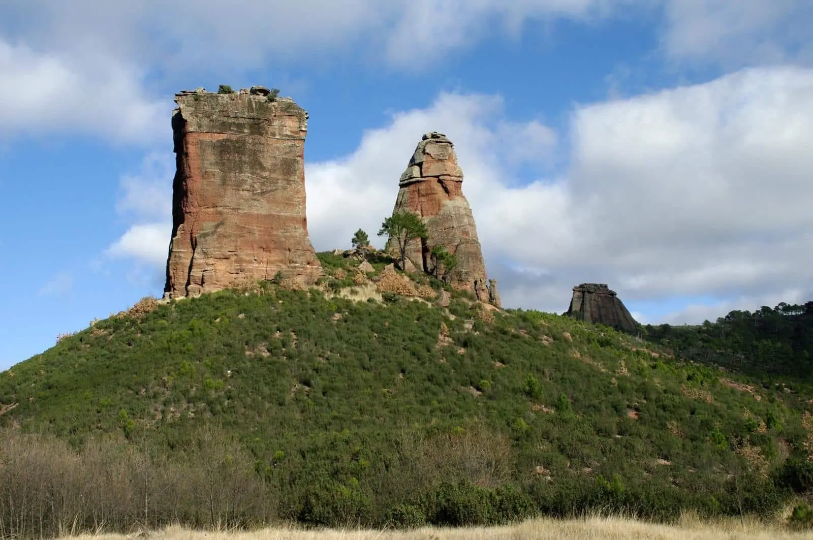
Geotrail 2: Valle de los Milagros – Saelices de la Sal
12 km · 4 h · LinearTrail 5: the chozones of La Loma (Riba de Saelices)
10.5 km · 4 h · Circular