Village · Guadalajara · 1,072 m
Luzaga
Luzaga, at about 1,070 metres in the Tajuña valley, has been identified with the Celtiberian city of Lutia. At its El Castejón castro the Bronze of Luzaga was found, a hospitality pact in the Celtiberian language, and a necropolis was excavated here. Roman remains and the Albalate tower on a river meander also survive.
Traces in the village and its surroundings
Which eras you can read here
A single place can preserve traces from different eras. These layers connect what you see with the stories in the atlas.
What to see in Luzaga
- The castro de El Castejón, the oppidum where the Bronze of Luzaga was discovered.
- The Roman site of Los Palacios, from the High Imperial period.
- The Albalate tower, remnant of a fortress overlooking a meander of the Tajuña.
Lutia?
The village’s name is documented in the Middle Ages as Lurzaga, suggesting a Celtic origin, Lutiakos, possibly related to the Lusones tribe. Some historians identify Luzaga with Lutia, the Celtiberian city mentioned in Roman sources. This is supported by the Bronze of Luzaga, a Celtiberian hospitality plaque now in private hands, and the necropolis excavated by the Marquis of Cerralbo and Juan Cabré in the early 20th century. More details in Celtiberia.
Nearby
Tortonda, Alcolea del Pinar and Aguilar de Anguita, with its dolmen.
More to see
Within the municipality: the castle of Albalate de Tajuña.
Places in and around Luzaga
Near Luzaga
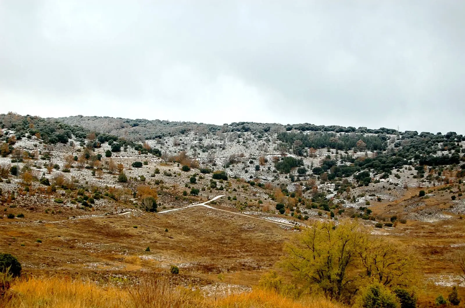
Tajuña Valley in Torrecuadrada: Protected Karstic Canyons
TorrecuadradillaFossil waves of Padilla del Ducado: a 240-million-year-old seabed
AnguitaChurch of Tortonda: a Romanesque gallery facing north
TortondaRoman camp of La Cerca (Aguilar de Anguita)
Aguilar de AnguitaTorre de la Cigüeña: The Watchtower Over Anguita and the Tajuña
AnguitaCastro de Hocincavero (Anguita)
AnguitaDolmen of Portillo de las Cortes (Aguilar de Anguita)
Aguilar de Anguita
Cueva de la Hoz (Santa María del Espino): Paleolithic art of the Tajuña
Santa María del EspinoPopulation of Luzaga, 1842–2021
Luzaga reached a peak of 446 inhabitants in 1857 . In the 2021 census there were 66 , a decrease of 85%. This is the history told in the emptying of the Alto Tajo.
Climate in Luzaga month by month
2015–2024 averages from Copernicus ERA5 reanalysis for an altitude of approx. 1,072 m. Useful for planning, not a substitute for live forecasts.
Location
● Reference point · ● Villages · ● Places
Location diagram. Detailed map with tracks and names loads on zoom.
Reference villages: Tortonda · Alcolea del Pinar · Aguilar de Anguita · Anguita.
Open the full map and historical layers →