Village · Guadalajara · 1,165 m
Aguilar de Anguita
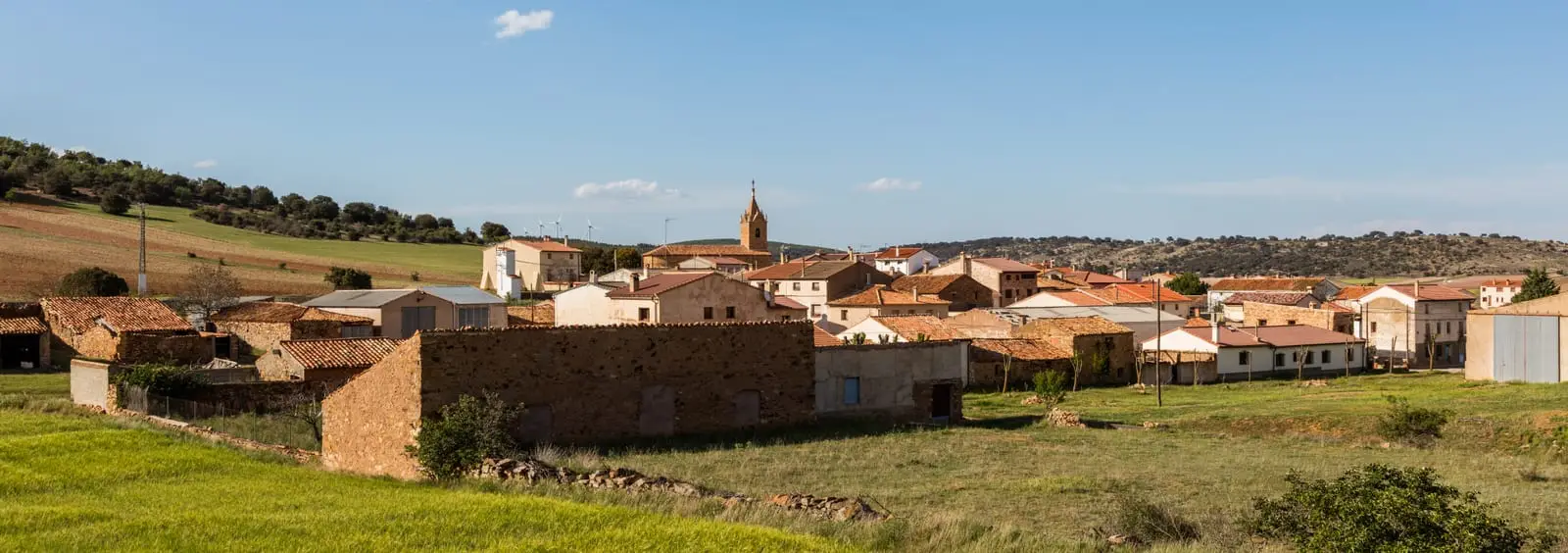
Aguilar de Anguita is a hamlet of Anguita set on a limestone hill beside the N-211. Its municipality yielded the Celtiberian necropolis of El Altillo, excavated by the Marquis of Cerralbo, whose finds are in the National Archaeological Museum. It has the dolmen of Portillo de las Cortes, one of the southernmost on the Meseta, and a Roman-medieval bridge across the meadow of the Prado stream.
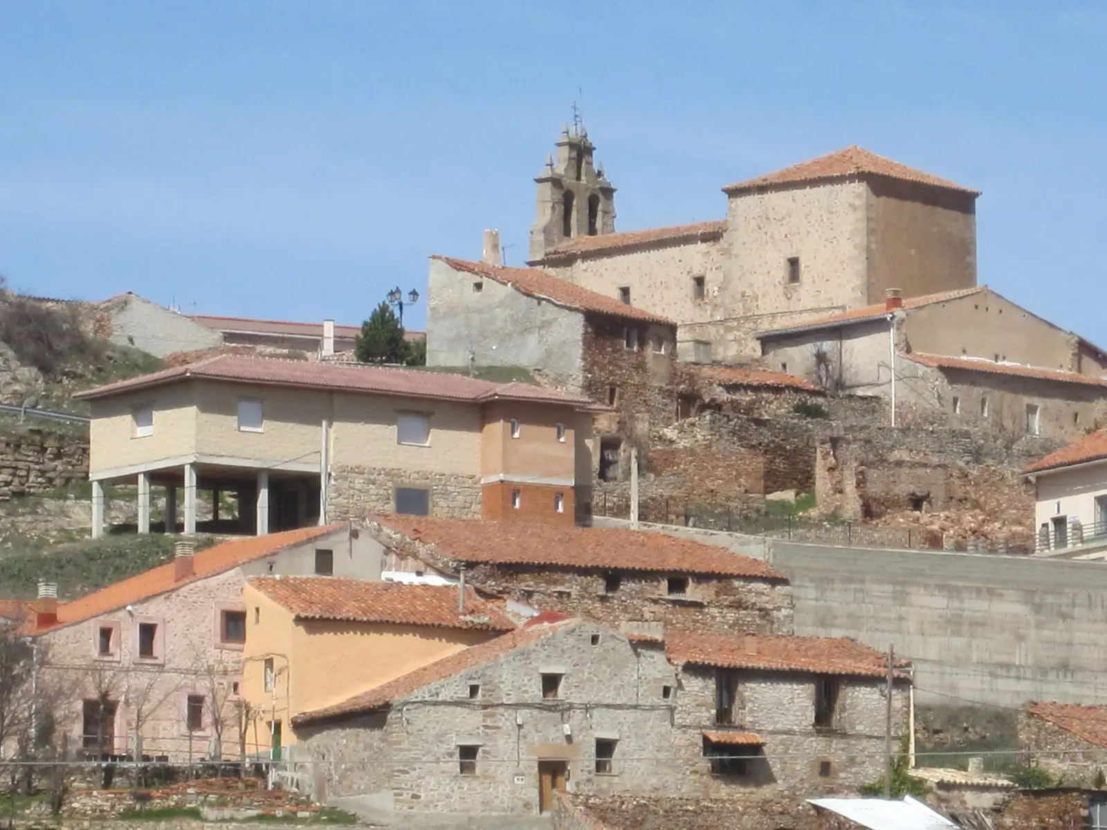
Traces in the village and its surroundings
Which eras you can read here
A single place can preserve traces from different eras. These layers connect what you see with the stories in the atlas.
What to see in Aguilar de Anguita
- The dolmen del Portillo de las Cortes, a Neolithic collective burial monument.
- The Roman-medieval bridge in the meadow of the Prado stream on the way to Anguita, in very good condition.
- The church of San Esteban.
Land of Cerralbo
Aguilar is a key archaeological location in the province. Celtiberian settlements stood on the village hill itself, on La Cera, and on El Castillejo. Here the necropolis of El Altillo was unearthed, one of the largest known in Celtiberia. The Marquis of Cerralbo moved all finds to his museum in Madrid, and from there they passed to the National Archaeological Museum, where they remain today. Standing stones (menhirs) were also found.
Nearby
Anguita, four kilometres away, with the torre de la Cigüeña; Alcolea del Pinar and Luzaga.
More to see
Within the municipality: the Roman camp of La Cerca.
Places in and around Aguilar de Anguita
Routes linked to Aguilar de Anguita
Near Aguilar de Anguita
Torre de la Cigüeña: The Watchtower Over Anguita and the Tajuña
AnguitaCastro de Hocincavero (Anguita)
AnguitaTajuña gorges: 11 km of river between Anguita and Luzón
AnguitaEl Castejón of Luzaga: the oppidum of the Celtiberian bronze
Luzaga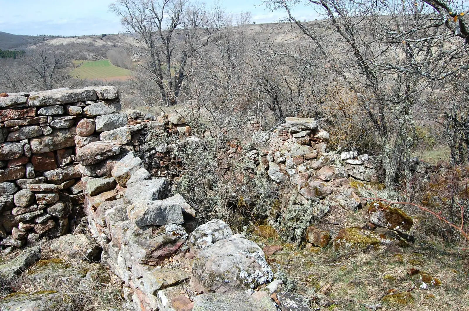
La Cava (Luzón): a Celtiberian town above the Tajuña
LuzónFossil waves of Padilla del Ducado: a 240-million-year-old seabed
Anguita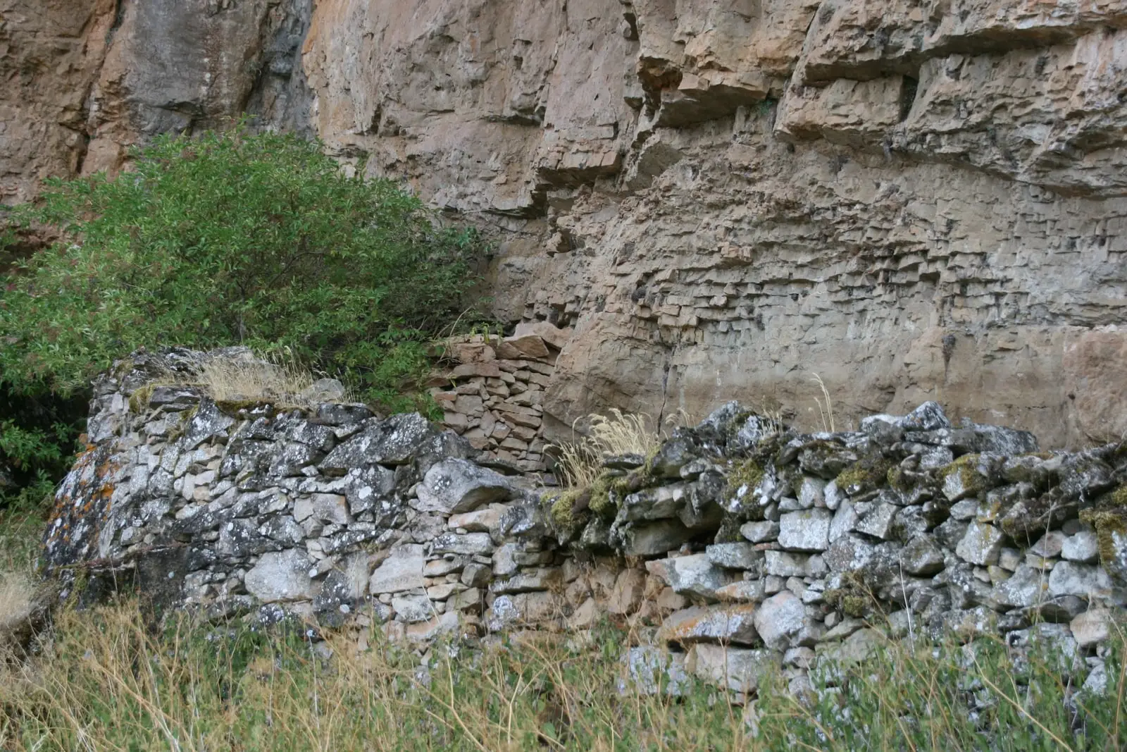
Cueva de la Hoz (Santa María del Espino): Paleolithic art of the Tajuña
Santa María del EspinoCastle of Albalate de Tajuña (Luzaga)
LuzagaPopulation of Aguilar de Anguita, 1842–1960
Aguilar de Anguita reached a peak of 268 inhabitants in 1930 ; in 1960 it had 183, before merging into the municipality of Anguita.
Climate in Aguilar de Anguita month by month
2015–2024 averages from Copernicus ERA5 reanalysis for an altitude of approx. 1,165 m. Useful for planning, not a substitute for live forecasts.
Location
● Reference point · ● Villages · ● Places
Location diagram. Detailed map with tracks and names loads on zoom.
Reference villages: Anguita · Alcolea del Pinar · Luzaga · Santa María del Espino.
Open the full map and historical layers →