Village · Guadalajara · 1,124 m
Anguita
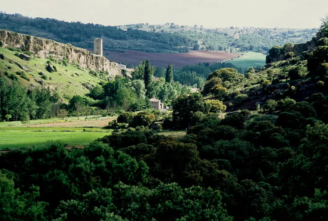
Anguita, around 1,100 metres above sea level, clings to a hillside above the Tajuña narrows in Sierra Ministra. Its name is thought to come from the Latin angustus, a gorge or narrow passage. Its 127 km² municipality includes Aguilar de Anguita, Santa María del Espino, Padilla del Ducado and Villarejo de Medina, with La Cigüeña tower, La Cerca camp, Portillo dolmen, La Hoz cave and the Tajuña gorges. Guadalajara’s first provincial council was established here in 1813.
Lands and landscapes
From here, follow the memory of the territory
These readings connect Anguita with the history, work, and villages around it.
Traces in the village and its surroundings
Which eras you can read here
A single place can preserve traces from different eras. These layers connect what you see with the stories in the atlas.
What to see in Anguita
- The Torre de la Cigüeña, Islamic watchtower overlooking the village.
- The gorges of the Tajuña, about 11 km of river towards Luzón.
- The hillfort of Hocincavero.
- In its municipal area: the Roman camp of La Cerca and the dolmen of Portillo de las Cortes, next to Aguilar de Anguita, and Cueva de la Hoz, next to Santa María del Espino.
- The church of San Pedro from the 18th century, the hermitage of Virgen de la Lastra, and the Canto stone bridge over the Tajuña.
A narrow defile
The village stands at around 1,100 metres on a hillside above the Tajuña, which flows along a fault trench. Linguist Francisco Villar suggests the name derives from Latin angustus, meaning a narrow defile or gorge, which is the most widely accepted hypothesis. The defile served as a watchpoint since Celtiberian times. The Poema de Mio Cid relates that the Campeador encamped in the Caves of Anguita on his way to exile.
The first Provincial Deputation
In 1813, towards the close of the Peninsular War, the first Provincial Deputation of Guadalajara was constituted in Anguita. The municipality, spanning 127 km², has about 150 inhabitants today.
Places in and around Anguita
Near Anguita
Roman camp of La Cerca (Aguilar de Anguita)
Aguilar de Anguita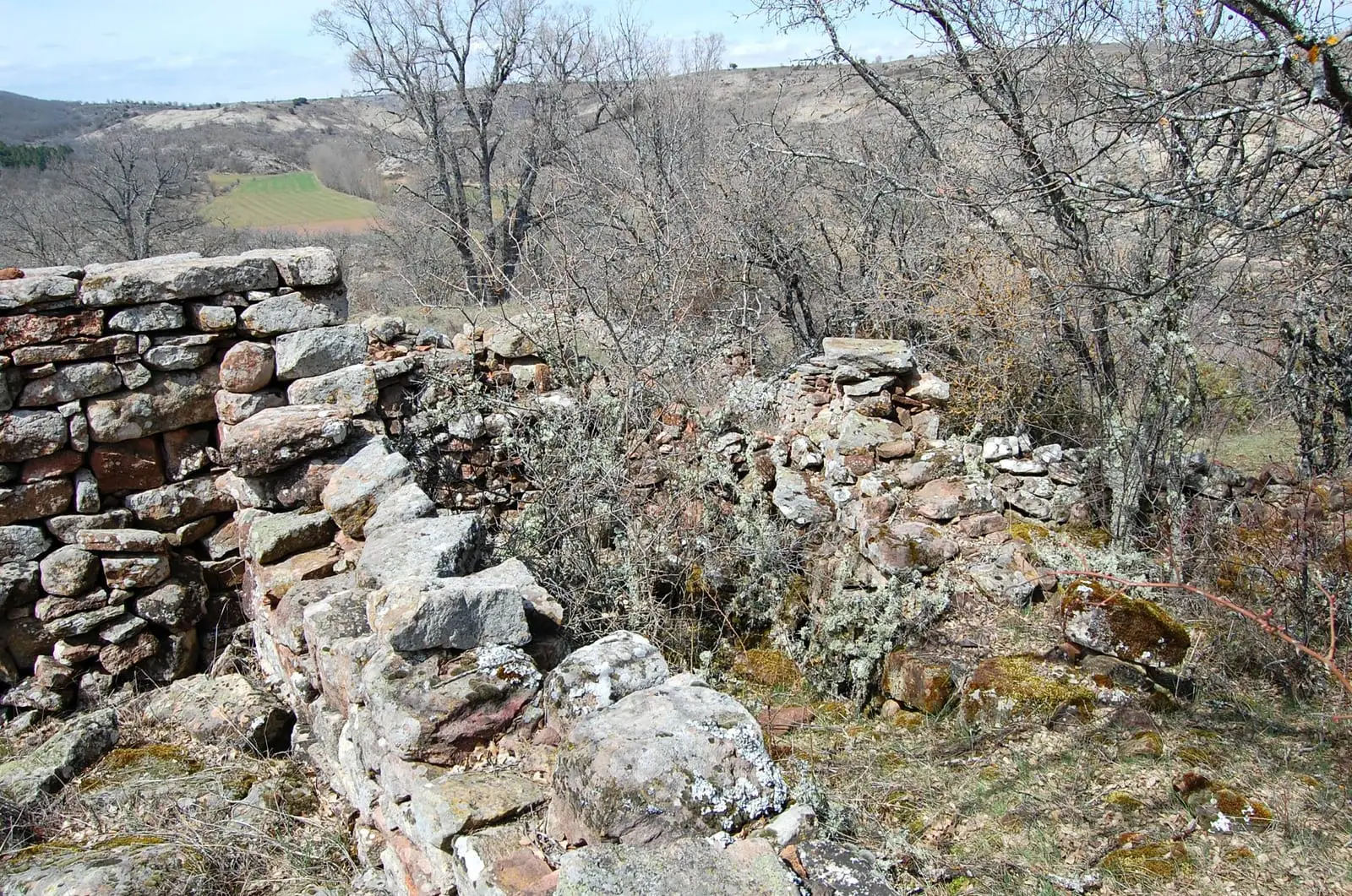
La Cava (Luzón): a Celtiberian town above the Tajuña
LuzónDolmen of Portillo de las Cortes (Aguilar de Anguita)
Aguilar de Anguita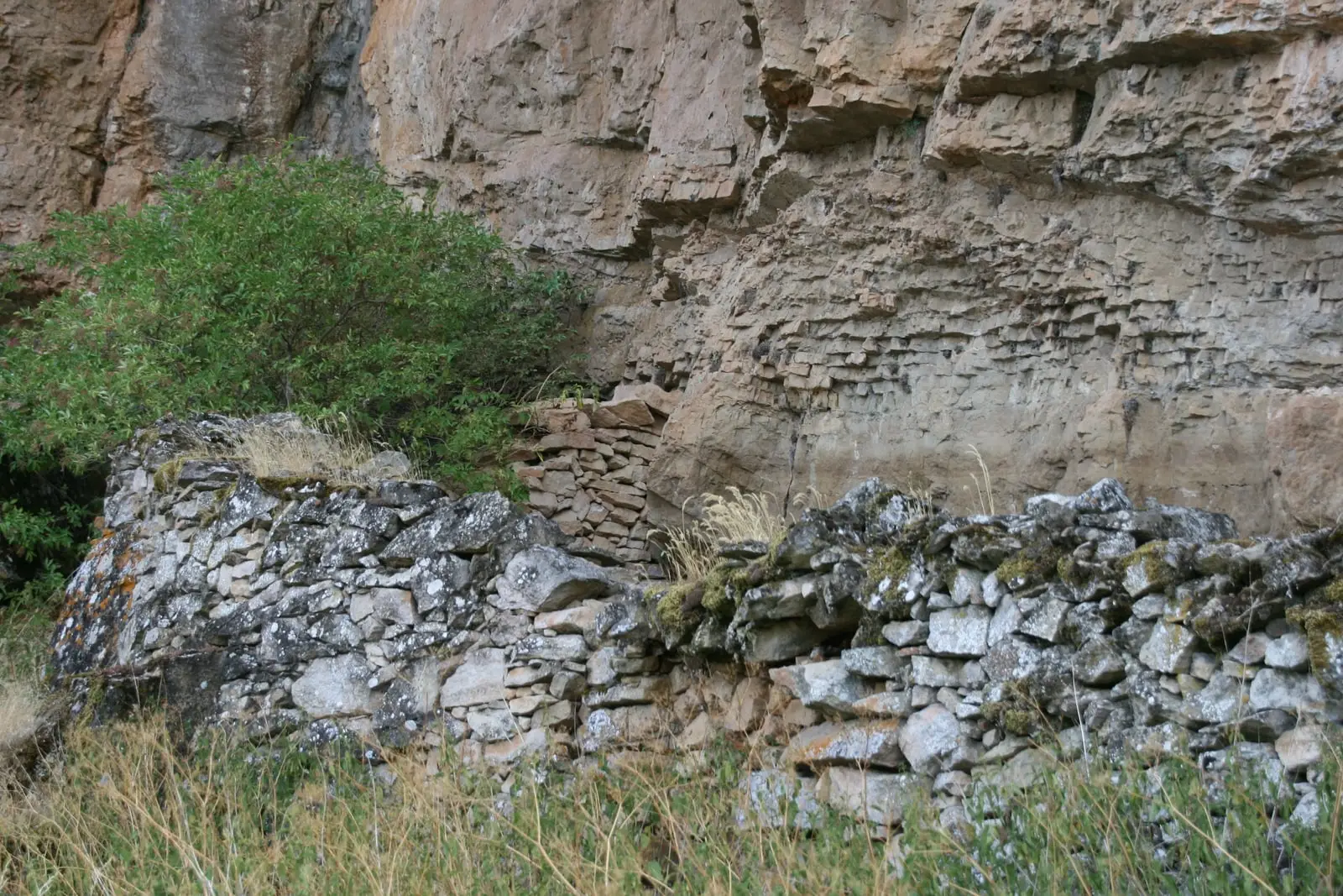
Cueva de la Hoz (Santa María del Espino): Paleolithic art of the Tajuña
Santa María del EspinoLuzón School Museum: the 1950s classroom
LuzónEl Castejón of Luzaga: the oppidum of the Celtiberian bronze
LuzagaCastle of Albalate de Tajuña (Luzaga)
Luzaga
Cueva de los Casares: Paleolithic art, Neanderthals, and Islamic tower
Riba de SaelicesPopulation of Anguita, 1842–2021
Anguita reached a peak of 1,000 inhabitants in 1910 . In the 2021 census there were 153 , a decrease of 85%. This is the history told in the emptying of the Alto Tajo.
Climate in Anguita month by month
2015–2024 averages from Copernicus ERA5 reanalysis for an altitude of approx. 1,124 m. Useful for planning, not a substitute for live forecasts.
Location
● Reference point · ● Villages · ● Places
Location diagram. Detailed map with tracks and names loads on zoom.
Reference villages: Aguilar de Anguita · Santa María del Espino · Luzón · Alcolea del Pinar.
Open the full map and historical layers →