Castle · Luzaga
Castle of Albalate de Tajuña (Luzaga)
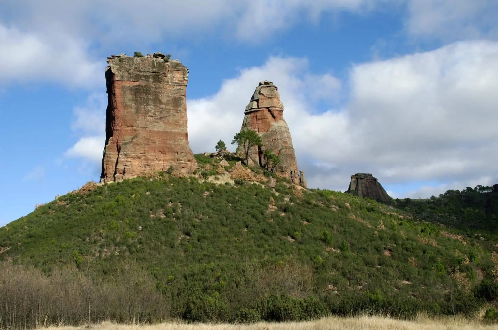
The castle or watchtower of Albalate, situated on a meander of the Tajuña River within Luzaga, is a small two-storey rectangular tower measuring roughly 6 by 8 metres, surrounded by a barbican where the abandoned village of Albalate once stood. Of Arab origin, it guarded the valley route; after the Christian conquest it passed to the Templars. Part of it collapsed in 1936, leaving only the south wall standing.
This place across time
Which eras you can read here
A single place can preserve traces from different eras. These layers connect what you see with the stories in the atlas.
- Municipality
- Luzaga
- Province
- Guadalajara
- Altitude
- 1,057 m
- Watchtower
- Arab origin
- Knights Templar
- Deserted medieval village
A tower on the river meander
On a meander of the Tajuña River, within the municipality of Luzaga, stand the remains of the castle of Albalate, on the site where the deserted village of the same name once existed. It commanded the transit route following the river between Luzaga and Cortes de Tajuña. In Luzaga it is locally known as el torreón de Albalate.
Architecture
A small rectangular tower measuring approximately 6 by 8 metres across two storeys, protected by a surrounding barbican wall. Inside, the wall recesses that once held the timber floor beams remain visible.
History
Like other local watchtowers, it had an Arab origin, positioned along the frontier between al-Andalus and the northern Christian kingdoms. Following the Christian reconquest, it came under the ownership of the Knights Templar, serving as the fortified refuge for an estate that encompassed a watermill, a church, and agricultural buildings. In 1936, severe weather caused a substantial collapse, and today only the south wall remains standing. Access is unrestricted. Nearby lies the castro del Castejón.
Location
● Reference point · ● Villages · ● Places
Location diagram. Detailed map with tracks and names loads on zoom.
Reference villages: Luzaga · Tortonda · Alcolea del Pinar · Aguilar de Anguita.
Open the full map and historical layers →