Village · Guadalajara · 1,014 m
Torrecuadradilla
Torrecuadradilla is a small village at around 1,010 metres along the Tajuña River. Part of its area forms the protected Valle del Tajuña en Torrecuadrada, featuring limestone canyons, choughs, golden eagles, and otters.
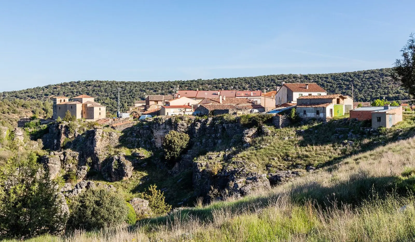
What to see in Torrecuadradilla
- The Tajuña valley in Torrecuadrada, a Natura 2000 site with vertical limestone canyons.
- The archaeological site of La Muela, above the valley, inhabited from the Late Bronze Age to Roman times.
Along the Tajuña
Torrecuadradilla sits at around 1,010 metres, in the upper Tajuña, near Torrecuadrada de los Valles outside the region. In the mid-19th century it had about 120 inhabitants; today around thirty. Its festivities of San Antonio and San Gil take place on the last weekend of August.
Nearby
Canredondo, five and a half kilometres away, and Sacecorbo.
Places in and around Torrecuadradilla
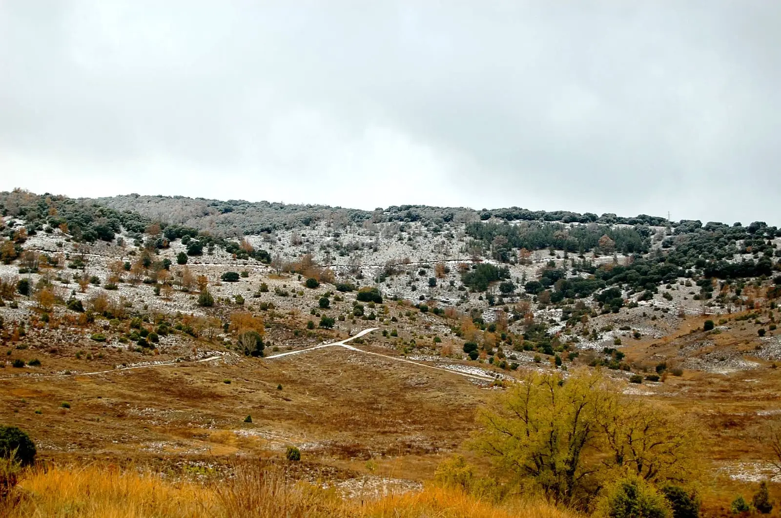
Near Torrecuadradilla
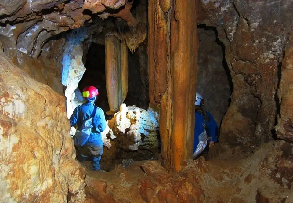
Cueva de las Majadillas (Sacecorbo): the caving school
SacecorboCastle of Albalate de Tajuña (Luzaga)
LuzagaChurch of Tortonda: a Romanesque gallery facing north
Tortonda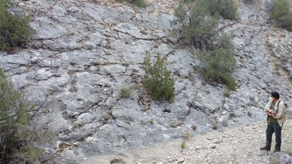
Fossil ray traces of Esplegares, from the Lower Jurassic
Esplegares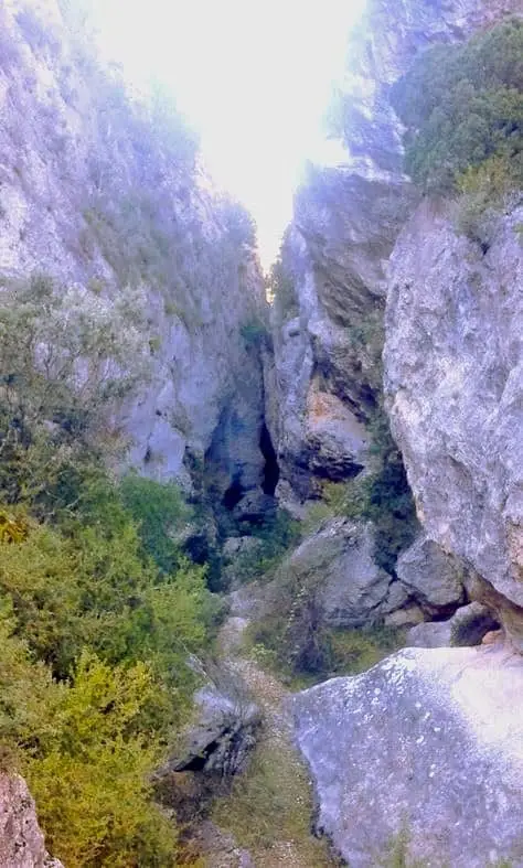
Barranco de la Hoz de Oter and the El Barrancazo gorge
Oter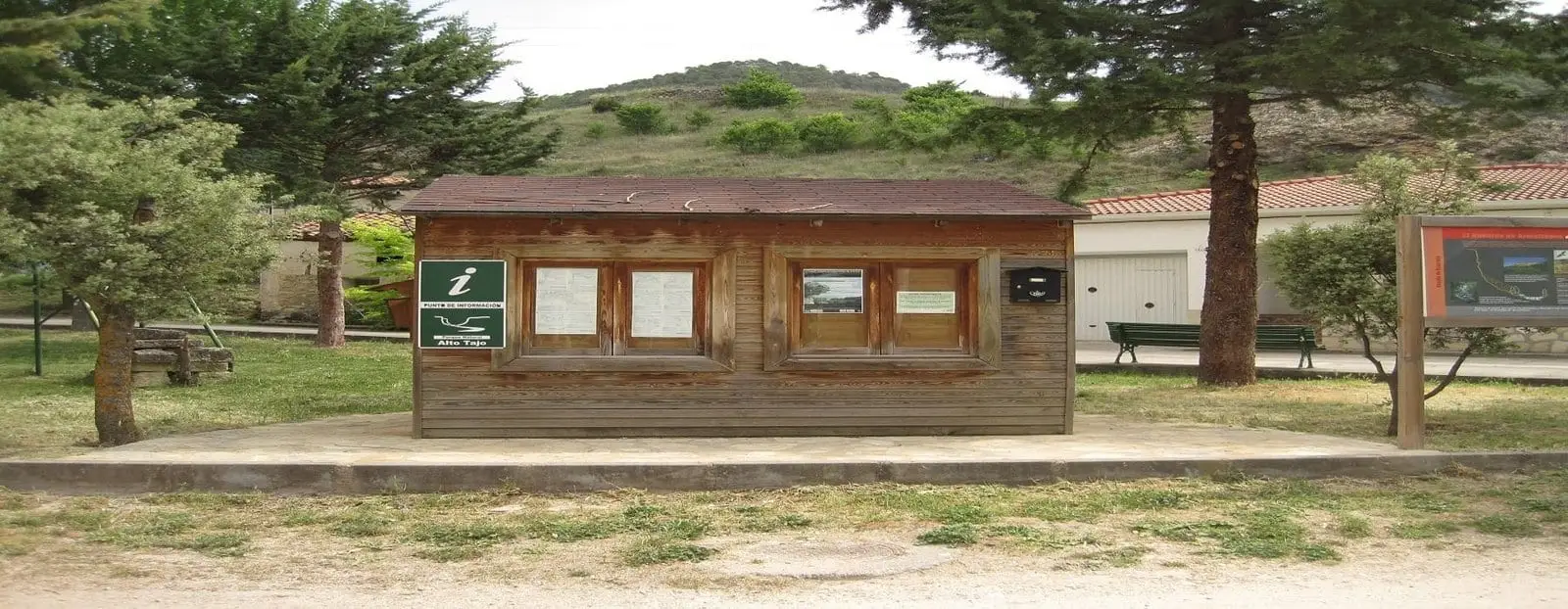
Ocentejo information point
OcentejoLos Ceños recreation area (Ocentejo)
OcentejoCastro de El Castillejo (Ocentejo): the hillfort seen in the days of Philip II
OcentejoPopulation of Torrecuadradilla, 1842–2021
Torrecuadradilla reached a peak of 224 inhabitants in 1910 . In the 2021 census there were 28 , a decrease of 88%. This is the history told in the emptying of the Alto Tajo.
Climate in Torrecuadradilla month by month
2015–2024 averages from Copernicus ERA5 reanalysis for an altitude of approx. 1,014 m. Useful for planning, not a substitute for live forecasts.
Location
● Reference point · ● Villages · ● Places
Location diagram. Detailed map with tracks and names loads on zoom.
Reference villages: Canredondo · Sacecorbo · Tortonda · Oter.
Open the full map and historical layers →