Village · Guadalajara · 1,199 m
Alcolea del Pinar
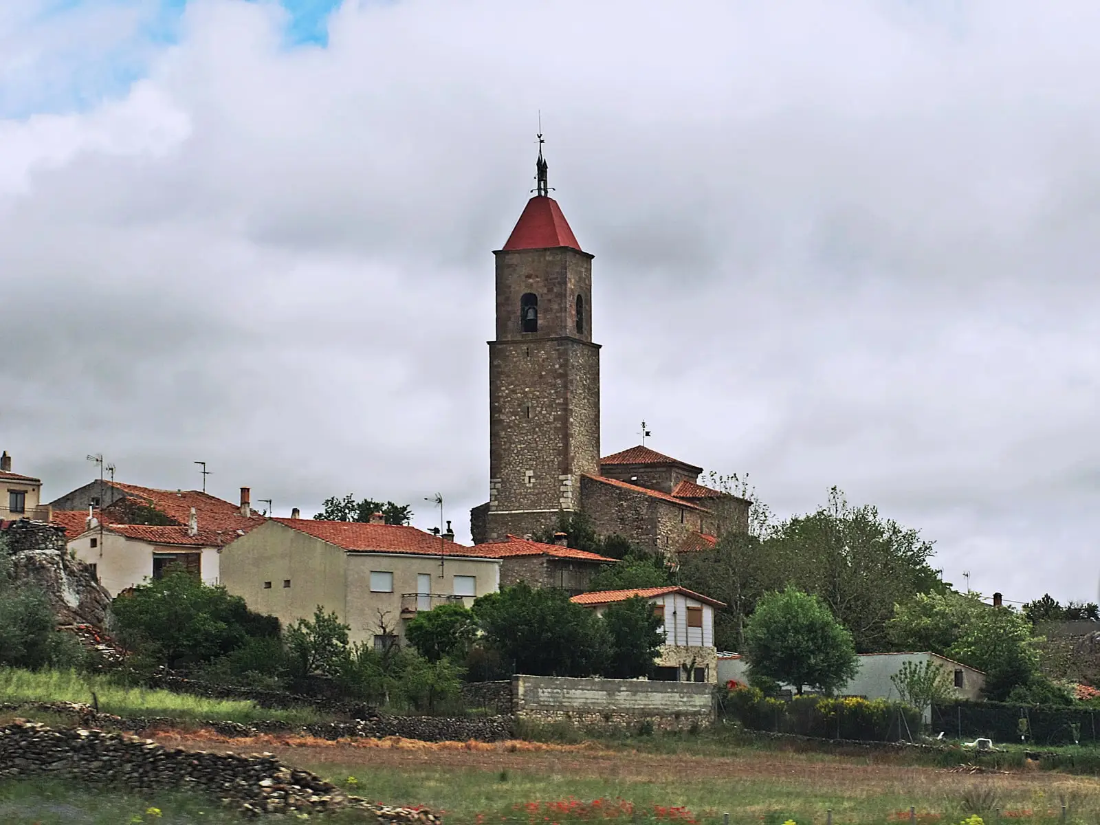
Alcolea del Pinar is a village at about 1,200 metres in the northwest of the district, beside the A-2. Its mountain pass, in the Sierra Ministra, separates the basins of the Tagus, the Duero and the Ebro. Its distinctive landmark is the Casa de Piedra, a home carved by hand into sandstone by Lino Bueno over seventeen years in the early 20th century. It includes Tortonda, Garbajosa, Cortes de Tajuña and Villaverde del Ducado.
What to see in Alcolea del Pinar
- The Casa de Piedra. In the early 20th century, Lino Bueno, a local who could not afford rent, excavated an entire house into sandstone rock with a pickaxe and torchlight. It took him seventeen years, carving out several rooms. Newspapers were already reporting the story by 1925.
- The Cement Museum, featuring sculptures of cement and iron by Máximo Rojo.
- The church of Nuestra Señora del Rosario, from the 19th century, replacing the one destroyed during the Carlist Wars.
A mountain pass between three basins
The village stands at about 1,200 metres. Its pass in the Sierra Ministra is a natural passage separating waters flowing to the Tagus, the Duero, and the Ebro. The A-2 highway crosses it today.
In the municipality
It includes the villages of Cortes de Tajuña, Garbajosa, Villaverde del Ducado and Tortonda, with its Romanesque church. Very close by are Aguilar de Anguita and Luzaga.
Near Alcolea del Pinar
Dolmen of Portillo de las Cortes (Aguilar de Anguita)
Aguilar de AnguitaRoman camp of La Cerca (Aguilar de Anguita)
Aguilar de AnguitaEl Castejón of Luzaga: the oppidum of the Celtiberian bronze
LuzagaTorre de la Cigüeña: The Watchtower Over Anguita and the Tajuña
AnguitaChurch of Tortonda: a Romanesque gallery facing north
TortondaCastle of Albalate de Tajuña (Luzaga)
LuzagaCastro de Hocincavero (Anguita)
Anguita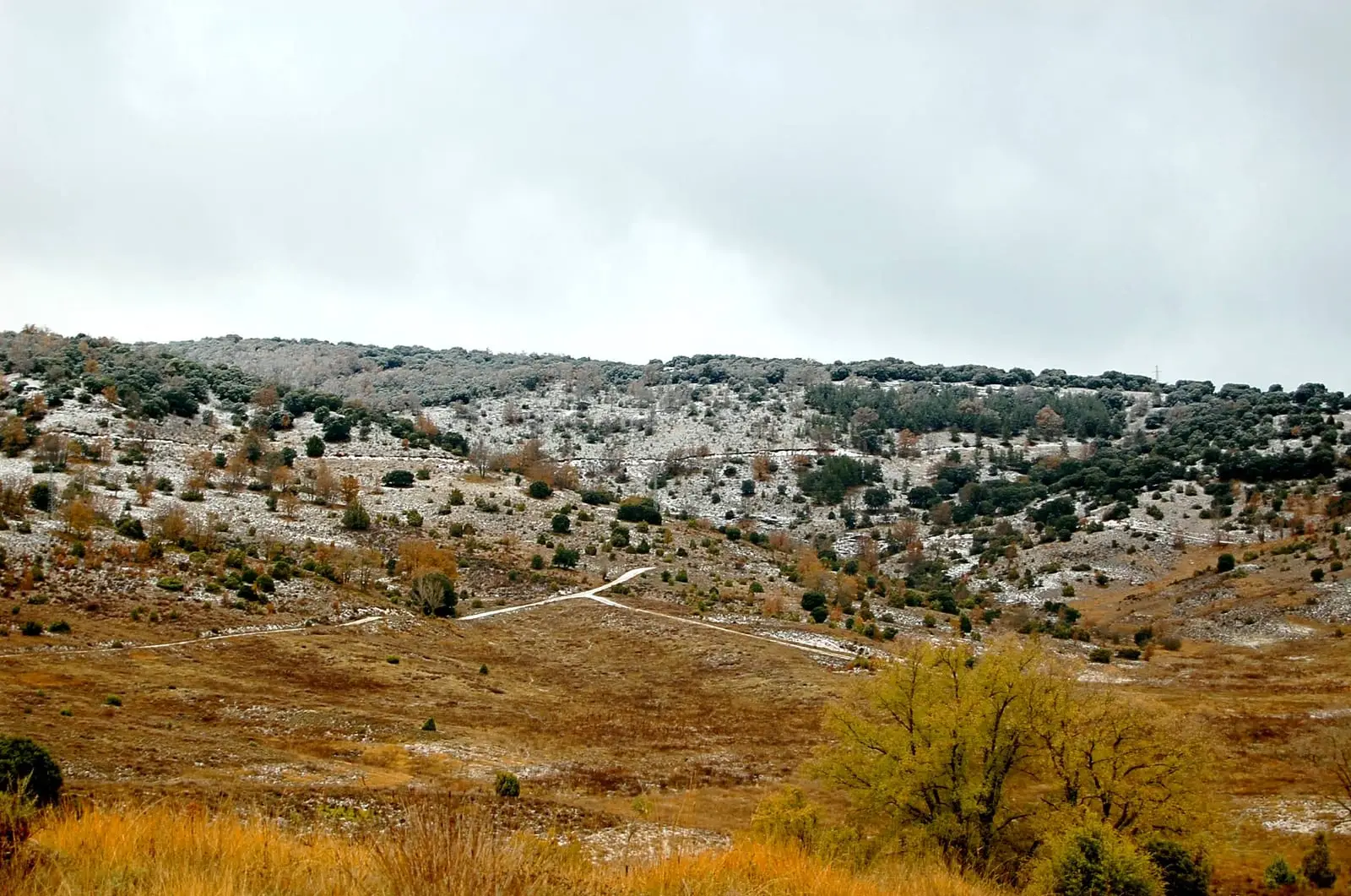
Tajuña Valley in Torrecuadrada: Protected Karstic Canyons
TorrecuadradillaPopulation of Alcolea del Pinar, 1842–2021
Alcolea del Pinar reached a peak of 881 inhabitants in 1970 . In the 2021 census there were 324 , a decrease of 63%. This is the history told in the emptying of the Alto Tajo.
Climate in Alcolea del Pinar month by month
2015–2024 averages from Copernicus ERA5 reanalysis for an altitude of approx. 1,199 m. Useful for planning, not a substitute for live forecasts.
Location
● Reference point · ● Villages · ● Places
Location diagram. Detailed map with tracks and names loads on zoom.
Reference villages: Aguilar de Anguita · Luzaga · Anguita · Tortonda.
Open the full map and historical layers →