Alto Tajo and headwaters · memory of the water
Cabrillas: highlands descending to the gorge
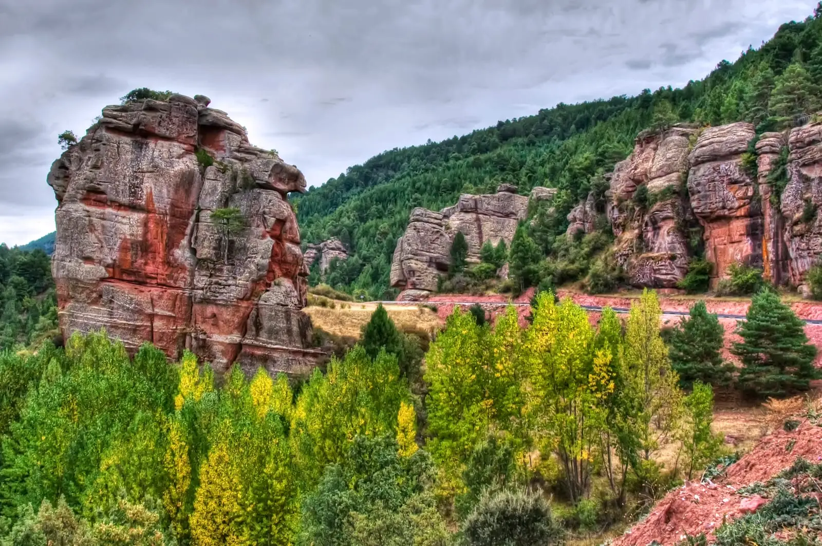
Descending from Checa to Taravilla between red sandstone towers and gorges populated by raptors; at its source, the Arroyo de Checa forms the Aguaspeña tufa.
- Headwaters
- Sierra del Alto Tajo; its upper basin gathers the Arroyo de Checa.
- downstream
- Tagus, in the Taravilla sector.
Fed by this network
The Cabrillas runs through the Sierra de Checa at some 1,380 metres, passing Chequilla and Megina before joining the Tagus near Taravilla. Shortly below its source, the Arroyo de Checa joins it, continuing through ravines, cascades, and incised meanders.
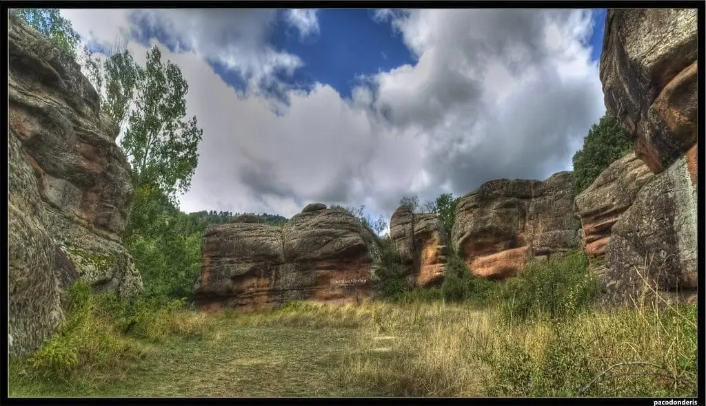
At Chequilla, currents from 240 million years ago left Las Quebradas at the village gates: a maze of sandstone towers and monoliths, including a natural amphitheatre bullring encircled by towering rock outcrops.
In Megina, Natural Park Trail 12 winds through the Cabrillas canyon, featuring ancient trees, sculpted rock formations, and abundant cliff-nesting birds of prey.
The river was woven into everyday subsistence. A Checa miller woman recalled in 2013 washing clothes in its waters from the age of seven: kneeling on gravel banks, rubbing soap until fabrics softened, and laying linen out on the grass under the sun.
Memory we can follow
20th century – today
Washing clothes in the river
The miller's daughter María Magdalena of Checa was born in a watermill and washed in the river from childhood. Her testimony and those of other mountain women were preserved in local historical publications.
Read the story →18th century – 1970s
Iron and church bells
Checa was a town of renowned blacksmiths with ancient iron forges. In 1813 the smaller bell of the parish church, el Campanillo, was cast directly within the village.
Read the story →1904 – the postwar years
The farmers' cooperative
In 1904 Checa farmers founded La Previsora: it loaned seed grain, extended free medical care to all members, and amassed 3,541 hectares in communal holdings.
Read the story →Villages to read this basin from
These are gateways to its headwaters, valleys, and memory. The selection gathers regional villages; it does not imply the entire municipality drains into this river.
Traces of the river and its basin
Lands united by water
Sources of this reading
- Aguaspeña 18 (2011): Checa y su río
- Aguaspeña 20 (2013): la Molinera
- JCCM: Parque Natural del Alto Tajo
- DOCM, 19 de febrero de 2025: nombres y conexiones de los cauces
Linked memory stories include their own cited sources. Fluvial connections refer to this specific stream; names like Salado and Tajuelo also recur in other basins.