Village · Guadalajara · 1,319 m
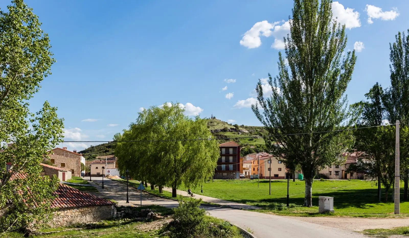
Taravilla
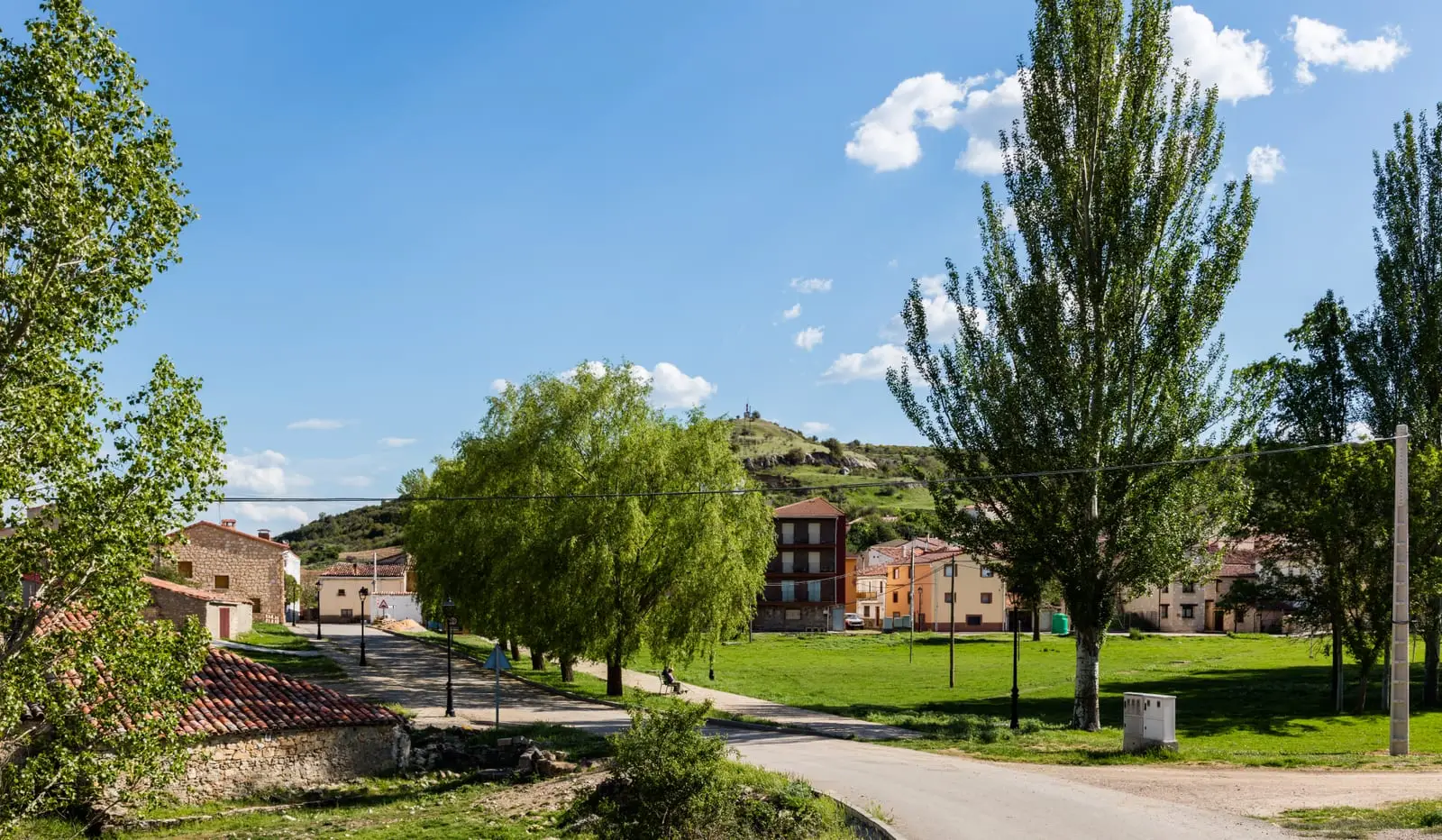
Taravilla is the village of panoramas in the Alto Tajo, overlooking the canyon carved by the Tagus and Cabrillas rivers. It holds its tufa lagoon, shares Salto de Poveda with Poveda de la Sierra, and offers spectacular viewpoints.
Rivers and basins
The thread of water from Taravilla
Follow these watercourses towards their confluences, villages, and basin history.
Lands and landscapes
From here, follow the memory of the territory
These readings connect Taravilla with the history, work, and villages around it.
Traces in the village and its surroundings
Which eras you can read here
A single place can preserve traces from different eras. These layers connect what you see with the stories in the atlas.
The village of viewpoints
Taravilla stands alongside the canyon, high on the paramera plateau. From here one understands at a glance how the Alto Tajo functions: up above, the plain; below, the river cutting into it over millions of years. The viewpoints in its municipal area are among the finest in the Natural Park, and that of Cueva del Febrero is renowned for its sunsets and vultures soaring at eye level.
What to see
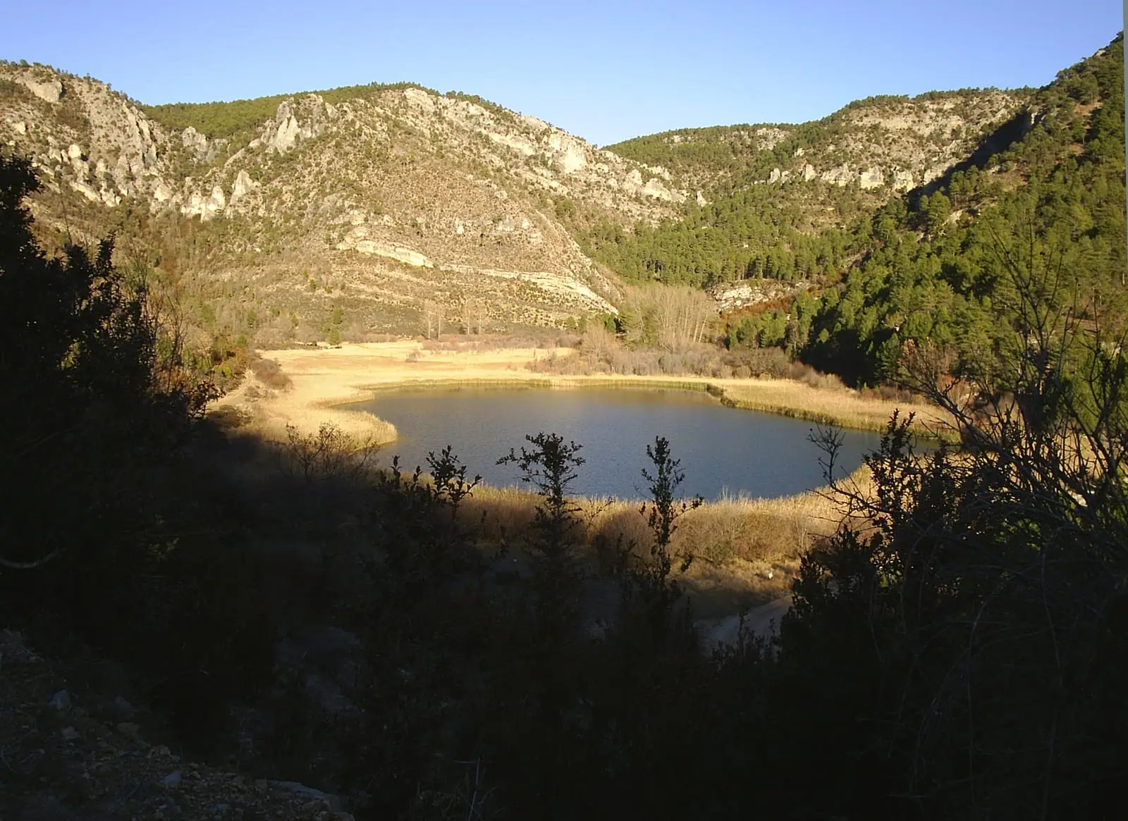
- Laguna de Taravilla, dammed naturally by a tufa barrier.
- Salto de Poveda, the highest waterfall on the upper Tagus.
- Viewpoints of Fina and Machorrillo, and the Muela del Conde.
- The abandoned meander of Hoya de Parra, a bend left dry when the Tagus cut a direct course.
- Torre de Doña Blanca.
Routes
Ruta BTT 2, Miradores del Tajo, Ruta BTT 3, La Muela, and Sendero 10 to Salto de Poveda.
Places in and around Taravilla
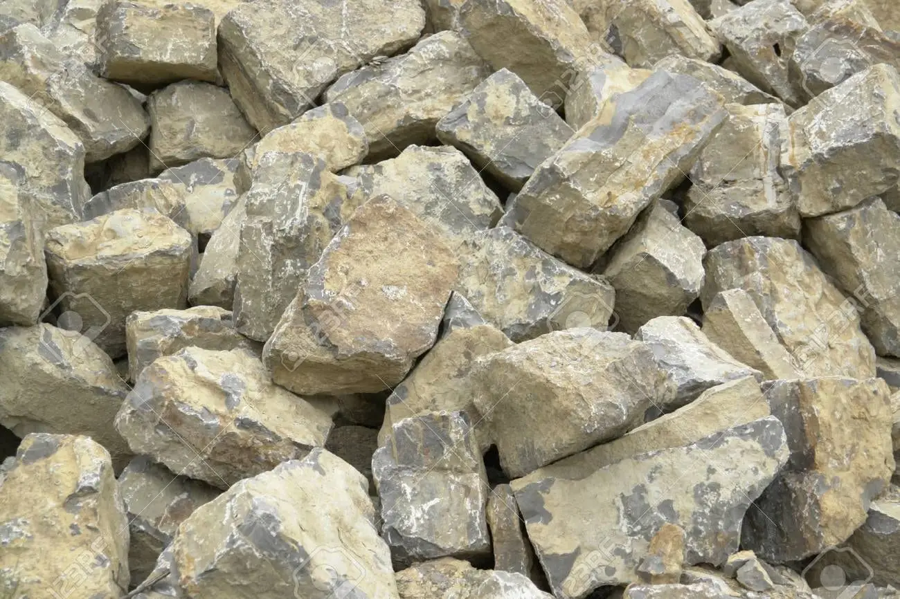
Torre de Doña Blanca (Taravilla): Watchtower Over the Cabrillas
Taravilla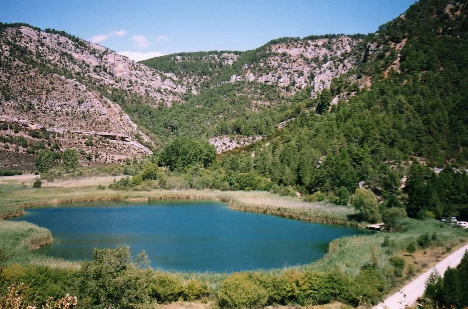
Laguna de Taravilla: an 11,000-year-old natural tufa dam
Taravilla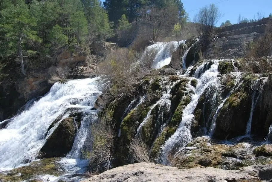
Salto de Poveda: The Largest Waterfall in Alto Tajo
Poveda de la Sierra, Taravilla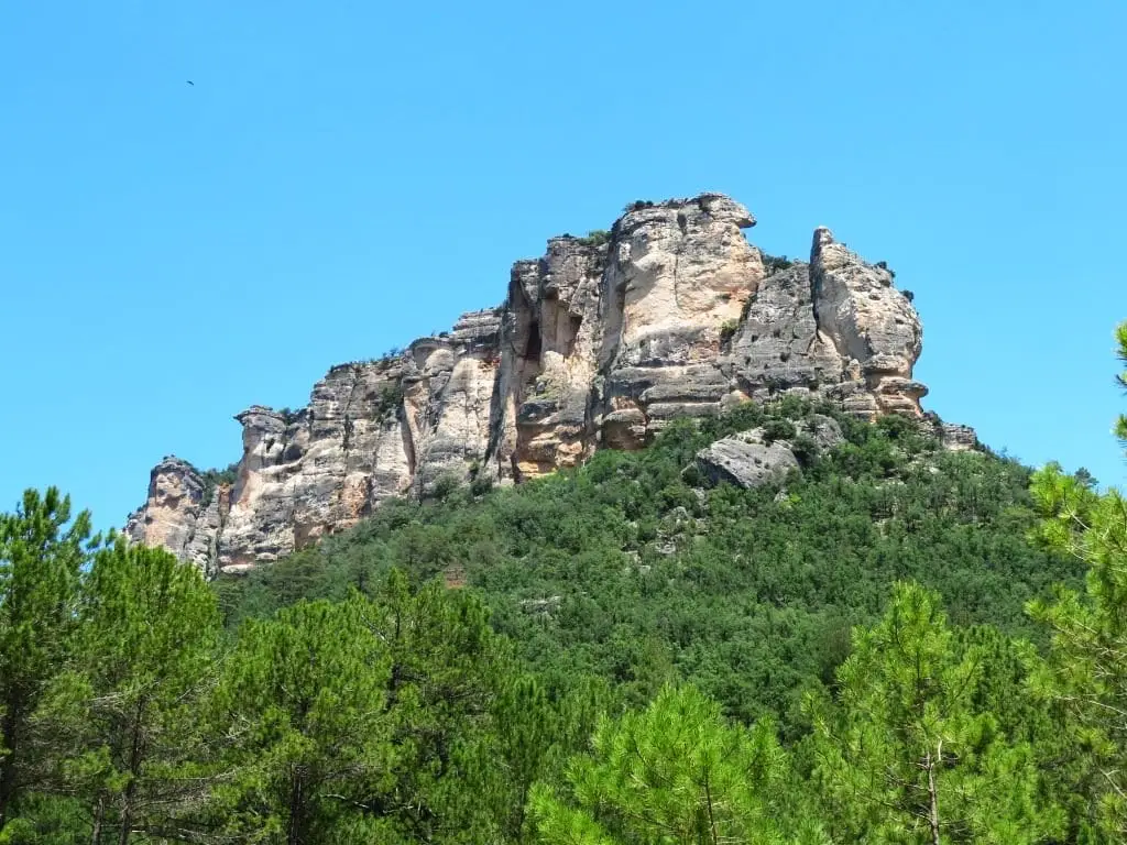
Muela del Conde (Taravilla): the boldest mountain in the Park
Taravilla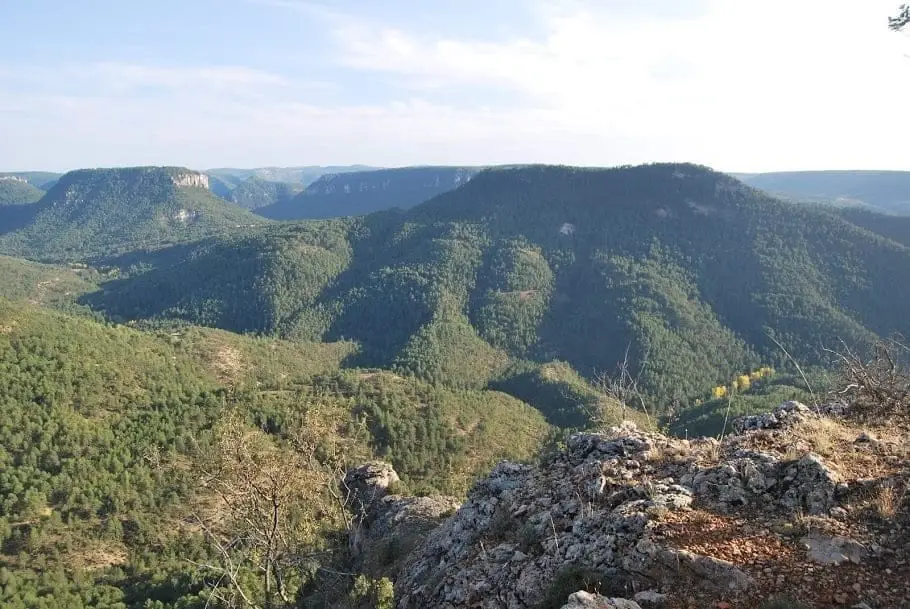
Mirador de la Cueva del Febrero (Taravilla): the great balcony of the Tagus
Taravilla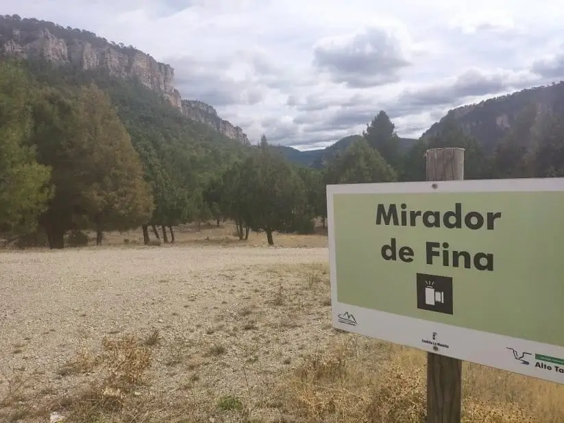
Mirador de Fina: roadside balcony over the Tagus
Taravilla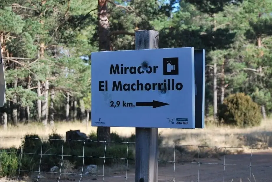
Mirador del Machorrillo: Laguna de Taravilla from above
Taravilla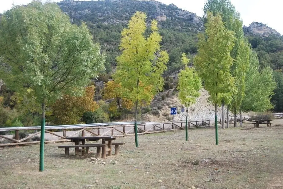
Ventorro del Chato recreation area (Cabrillas River)
Taravilla
Huerta del Forestal recreation area (Taravilla)
TaravillaAbandoned meander of Hoya de la Parra (Taravilla)
TaravillaRoutes linked to Taravilla
Near Taravilla
Population of Taravilla, 1842–2021
Taravilla reached a peak of 484 inhabitants in 1877 . In the 2021 census there were 32 , a decrease of 93%. This is the history told in the emptying of the Alto Tajo.
Climate in Taravilla month by month
2015–2024 averages from Copernicus ERA5 reanalysis for an altitude of approx. 1,319 m. Useful for planning, not a substitute for live forecasts.
Frequently asked questions
What to see in Taravilla?
Laguna de Taravilla, Salto de Poveda, the viewpoints of Cueva del Febrero, Fina, and Machorrillo, Muela del Conde, and Torre de Doña Blanca.
What route to do from Taravilla?
BTT Route 2, Miradores del Tajo, travels along the canyon ledges; Sendero 10 links the lagoon with Salto de Poveda.
Location
● Reference point · ● Villages · ● Places
Location diagram. Detailed map with tracks and names loads on zoom.
Reference villages: Baños de Tajo · Terzaga · Tierzo · Fuembellida.
Open the full map and historical layers →