Geosite · Chequilla
Las Quebradas: the little enchanted city of Chequilla
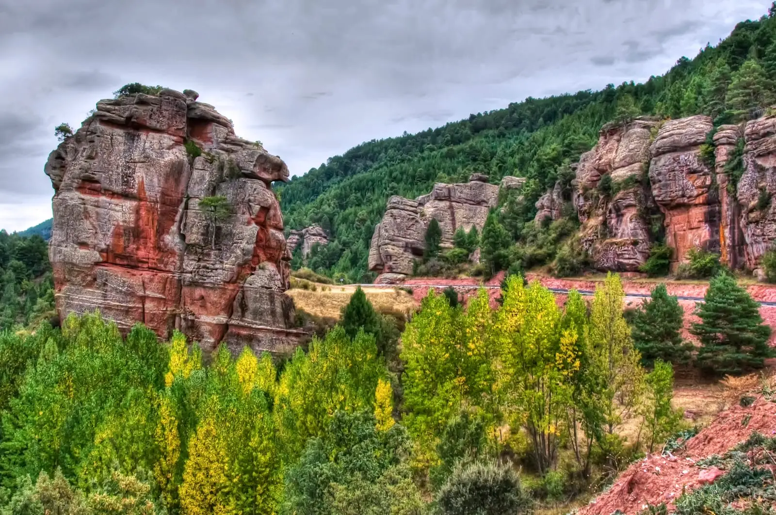
Las Quebradas is a maze of towers and monoliths of red sandstone and conglomerate at the entrance to Chequilla, shaped in large Triassic river systems about 240 million years ago. Two intersecting sets of fractures fostered differential erosion that sculpted this small enchanted city, right next to a car park with an info board.
Rivers and basins
The thread of water from Las Quebradas: the little enchanted city of Chequilla
Follow these watercourses towards their confluences, villages, and basin history.
Lands and landscapes
From here, follow the memory of the territory
These readings connect Las Quebradas: the little enchanted city of Chequilla with the history, work, and villages around it.
This place across time
Which eras you can read here
A single place can preserve traces from different eras. These layers connect what you see with the stories in the atlas.
- Municipality
- Chequilla
- Province
- Guadalajara
- Altitude
- 1,347 m
- Enchanted city
- Red sandstone
- Triassic
- Immediate access
A maze of stone blocks
Just before entering Chequilla, there is an open area to park next to an information board, surrounded by reddish rock towers. The rock is crisscrossed by two families of fractures that intersect (one running roughly north-south and the other northeast-southwest). Water and frost work along these cracks, gradually isolating blocks until creating a true maze.
Rocks of ancient rivers
These are the same sandstones and conglomerates found in the Sierra de Caldereros or in Barranco de la Hoz: sediments of large Triassic river systems, from about 240 million years ago.
Very close by is the Chequilla bullring, built directly into these natural rock outcrops.
Location
● Reference point · ● Villages · ● Places
Location diagram. Detailed map with tracks and names loads on zoom.
Reference villages: Chequilla · Checa · Megina · Peralejos de las Truchas.
Open the full map and historical layers →More geology and geosites nearby
View all →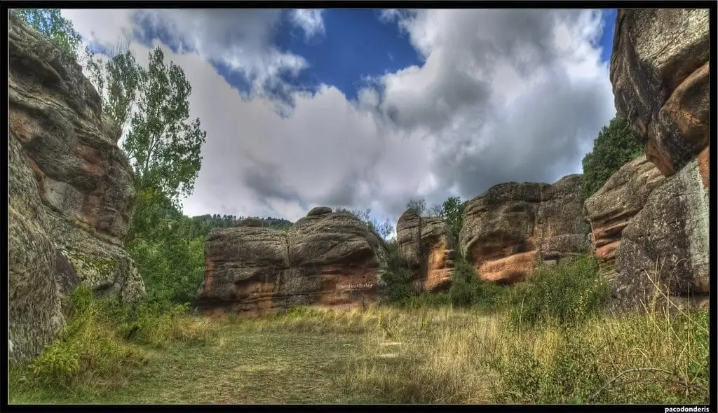
Chequilla bullring: an arena between stone towers
ChequillaCheca Graptolites: Fossils That Look Like Writing
ChecaPoljé del Cubillo (Checa): a closed karst valley
Checa