Village · Guadalajara · 1,278 m
Megina
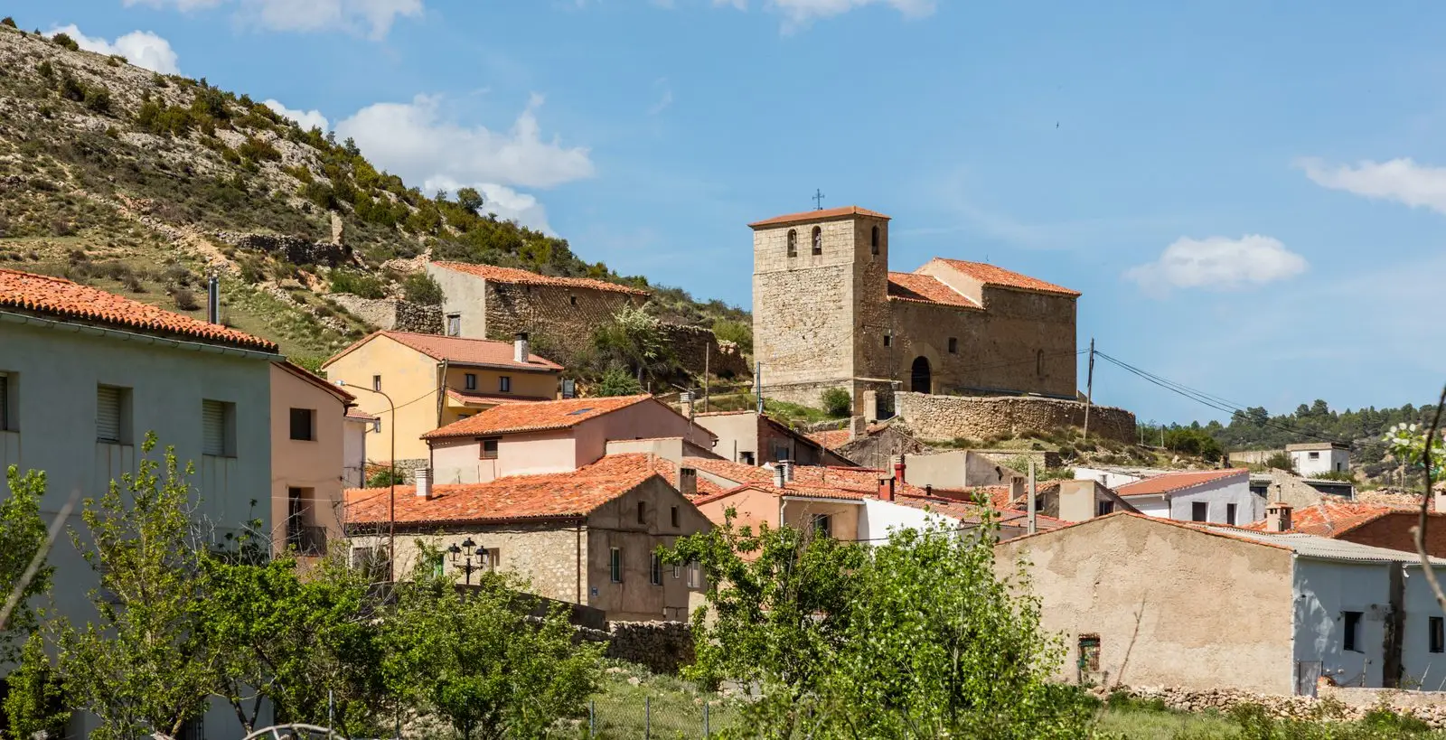
Megina is an Alto Tajo village around 1,280 metres above sea level, near Chequilla and Pinilla de Molina. Park Trail 12 follows the Cabrillas canyon, with spectacular trees, an enchanted stone city and many birds of prey among crags and towers.
Rivers and basins
The thread of water from Megina
Follow these watercourses towards their confluences, villages, and basin history.
Lands and landscapes
From here, follow the memory of the territory
These readings connect Megina with the history, work, and villages around it.
What to do
The Cabrillas river route, around 8 kilometres, setting out towards San Pedro chapel and the village spring.
Nearby
Chequilla and La Vaqueriza viewpoint, on the road between the villages.
Routes linked to Megina
Near Megina
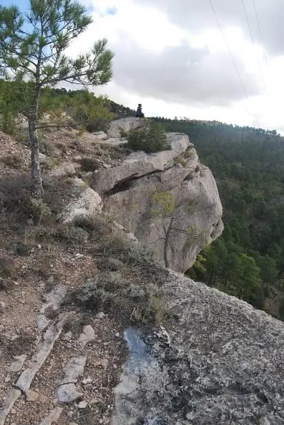
Mirador de la Vaqueriza: Chequilla and the Cabrillas valley
Chequilla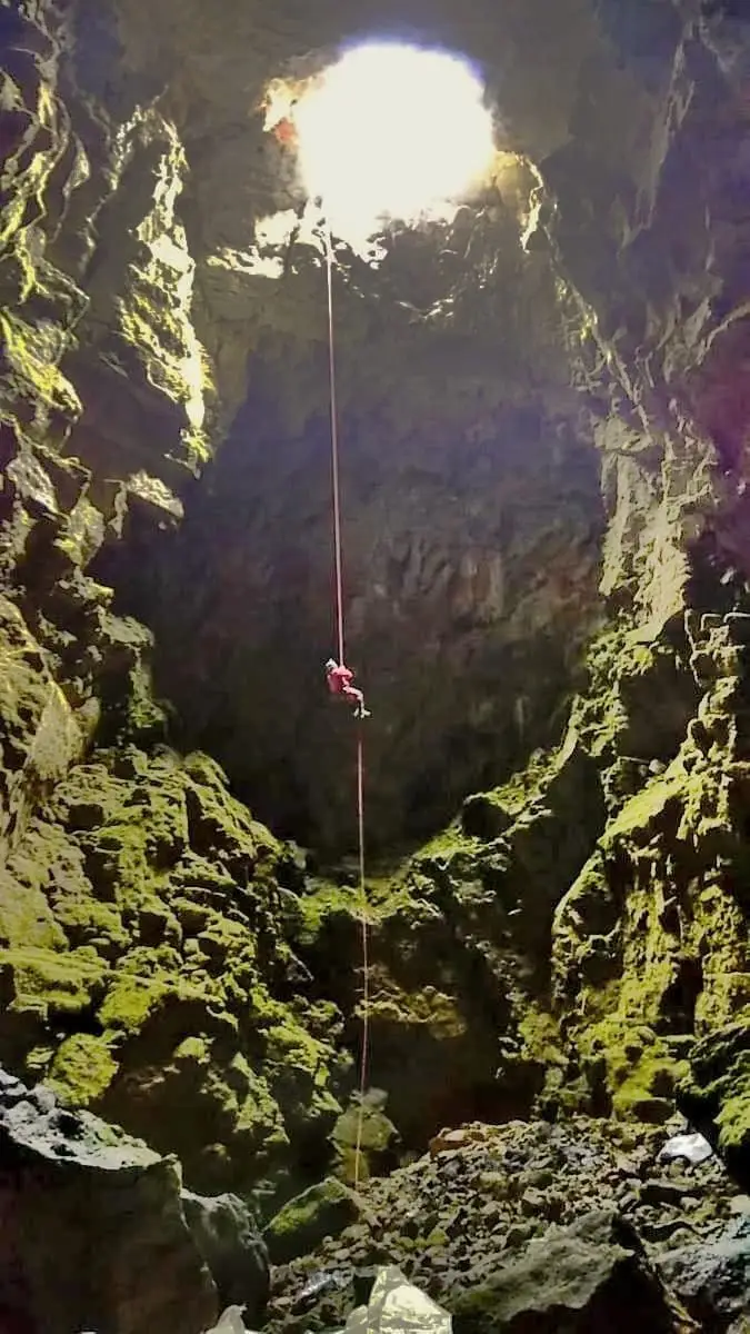
Grobias Chasm: A 45-Metre Open-Air Vertical Shaft
Chequilla, Peralejos de las TruchasWashhouse Black Poplar (Pinilla de Molina): largest catalogued poplar in the comarca
Pinilla de Molina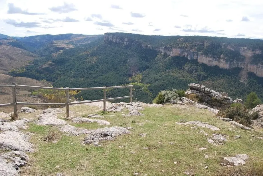
Mirador Pie Molino: Peralejos from Muela de Utiel
Peralejos de las Truchas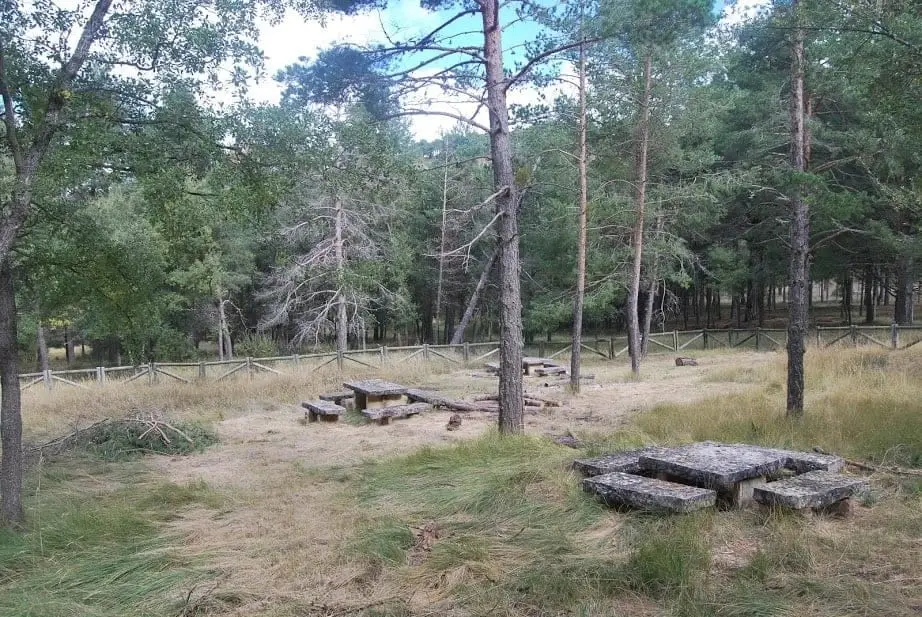
La Vaqueriza recreation area (Chequilla)
Chequilla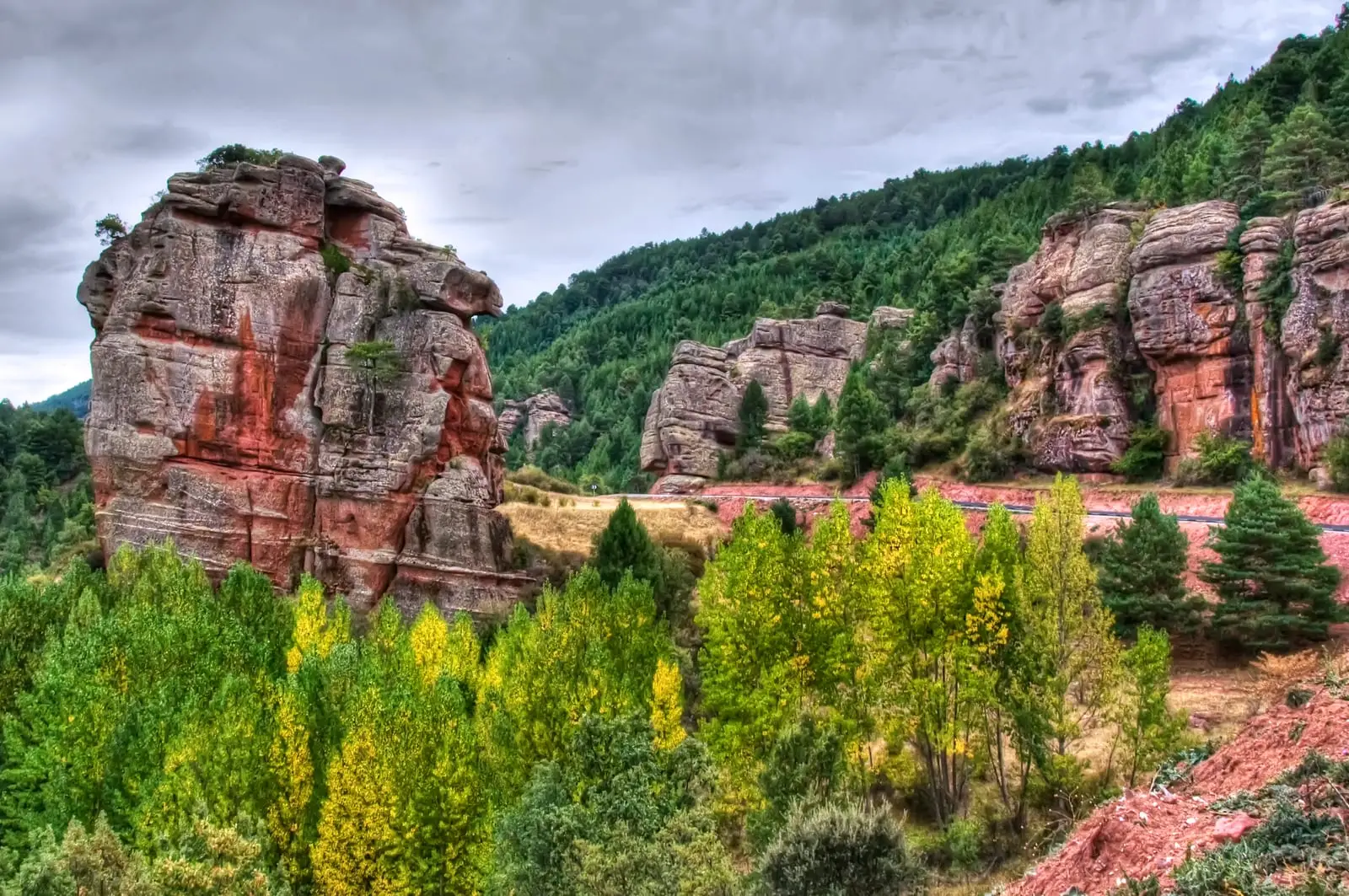
Trail 15 (SL-GU 01): the Red Rocks of Chequilla
2.8 km · 1 h · Circular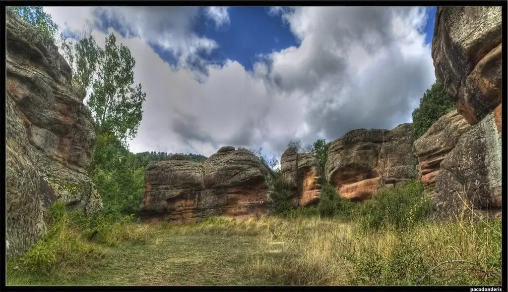
Chequilla bullring: an arena between stone towers
ChequillaArroyo de la Quebrantaherradura ravine (canyoning)
Peralejos de las TruchasPopulation of Megina, 1842–2021
Megina reached a peak of 408 inhabitants in 1877 . In the 2021 census there were 34 , a decrease of 92%. This is the history told in the emptying of the Alto Tajo.
Climate in Megina month by month
2015–2024 averages from Copernicus ERA5 reanalysis for an altitude of approx. 1,278 m. Useful for planning, not a substitute for live forecasts.
Location
● Reference point · ● Villages · ● Places
Location diagram. Detailed map with tracks and names loads on zoom.
Reference villages: Pinilla de Molina · Chequilla · Peralejos de las Truchas · Traíd.
Open the full map and historical layers →