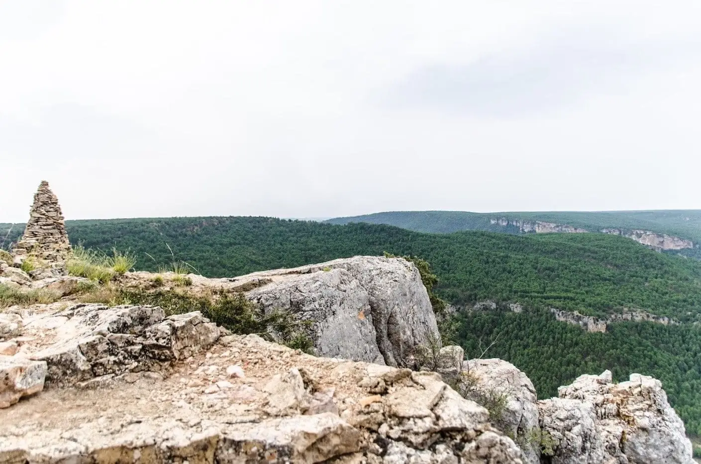
Living landscape · territorial memory
The canyon: the river that united lives
From Peralejos de las Truchas to Valtablado del Río: bridges, waterfalls, a hand-carved cliff tunnel, and the Civil War front.
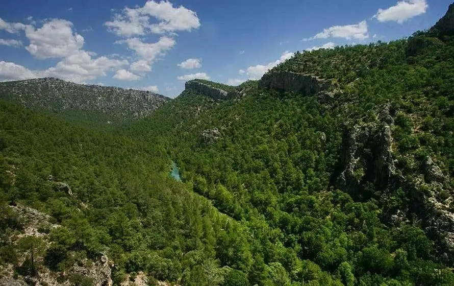
The canyon begins at Peralejos de las Truchas, a village with a proud timber-driving past set between the Tagus and Cabrillas rivers, featuring the Horcajo gorge, the confluence at Las Juntas, and Ribagorda hermitage. It continues through Taravilla, with its travertine lake and the Cueva del Febrero viewpoint, and Poveda de la Sierra, where the Salto de Poveda waterfall cascades over a breached hydroelectric dam that never operated.
At Zaorejas, the Tagus and Gallo rivers join beneath the Puente de San Pedro; nearby lie the Campillo waterfall and the Mirador del Tajo. Huertapelayo is accessed through the Portillo tunnel, chiseled by hand through solid limestone by local villagers, leading down to the historic packhorse trail of the Tagüenza bridge. In Armallones, the Ojos de la Cárquima waterfall surges directly from two cave openings.
Downstream at El Hundido, a 16th-century rockfall blocked the river channel, and near Ocentejo lie the ruins of La Inesperada salt works. The canyon concludes at Valtablado del Río at around 840 metres, where the Tagus forms a gentle gravel ford below the road bridge.
Stories to read this part of the landscape
16th century – 1950s
Timber on the move
Timbermen steered drives of up to 100,000 logs downriver with hazel steering poles to the royal palace at Aranjuez until the 1954 Entrepeñas dam cut off river transport.
Read the memory of the gancheros →Middle Ages – 1960s
Harnessing water for labor
Mills, fulling wheels, and tilt hammers were driven by water power. The Salto de Poveda waterfall originated from a hydro dam that failed before commissioning due to karst leakage.
Follow water-powered trades →1904 – the postwar years
The front line and the homes
Between 1936 and 1937 skirmishes centered around the San Pedro bridge, while Zaorejas housed a military airstrip with an underground bunker.
Read the war through human lives →Villages to follow the thread from
Every name opens its locations and memories, leading to other readings of the territory.
Traces on the ground
These places connect stories with what endures. Their guides allow you to locate them on the map and explore them in person.
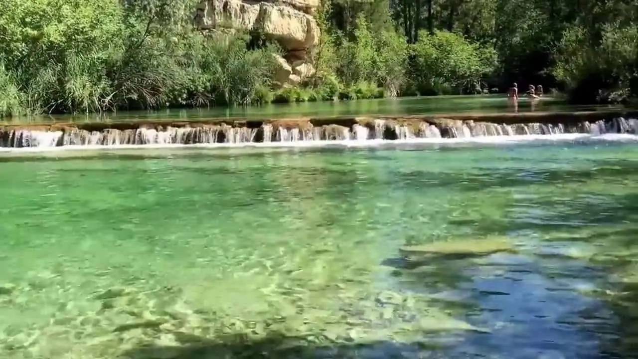
Puente de San Pedro: where the Tagus and Gallo meet
Zaorejas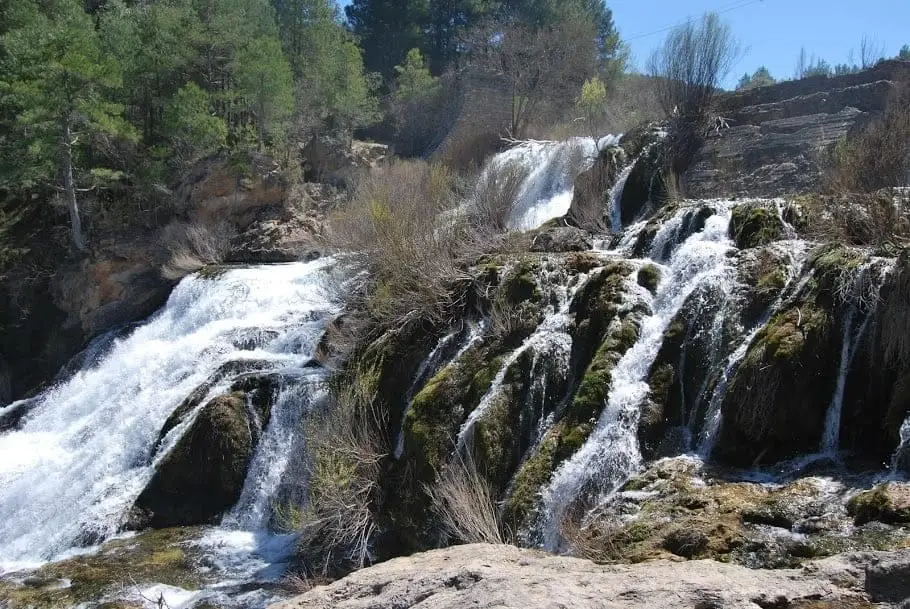
Salto de Poveda: The Largest Waterfall in Alto Tajo
Poveda de la Sierra, TaravillaHundido de Armallones: the rock collapse that dammed the Tagus
Armallones, Ocentejo