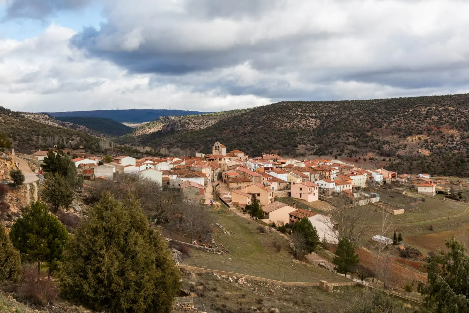
Recreation area · Cobeta
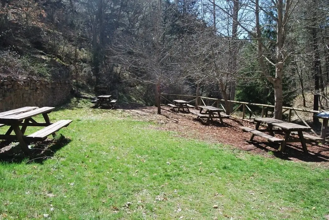
Virgen de Montesinos recreation area (Cobeta)
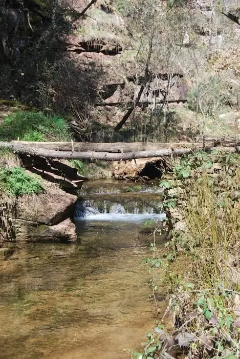
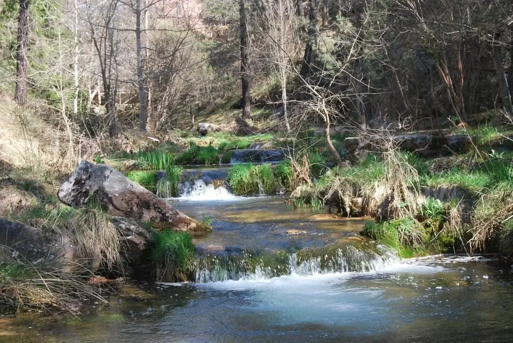
The Virgen de Montesinos recreation area is located beside the Arandilla River and its namesake hermitage in Cobeta. As a pilgrimage site, it is well maintained. Reached from Cobeta on the GU-951 towards Corduente; after the Arandilla bridge, an unpaved track to the left ascends the ravine.
- Municipality
- Cobeta
- Province
- Guadalajara
- Pilgrimage site
- Barranco del Arandilla
- Well maintained
In the heart of Barranco del Arandilla, directly beside the hermitage.
Good conduct
The Natural Park provides no rubbish collection service: carry all waste back to village bins. Lighting fires is permitted solely in authorised facilities and outside high-risk fire seasons; check current regulations.
Photo: El Observario
Location
● Reference point · ● Villages · ● Places
Location diagram. Detailed map with tracks and names loads on zoom.
Approximate position: village centre.
Reference villages: Cobeta · Villar de Cobeta · Olmeda de Cobeta · Ablanque.
Open the full map and historical layers →Nearby routes
All routes →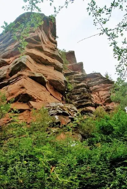
Geotrail 3: from Cobeta to Barranco del Arandilla
13 km · 4 h · LinearEthnographic route 3: the chozones of Olmeda de Cobeta
4.75 km · 1.5 h · Circular