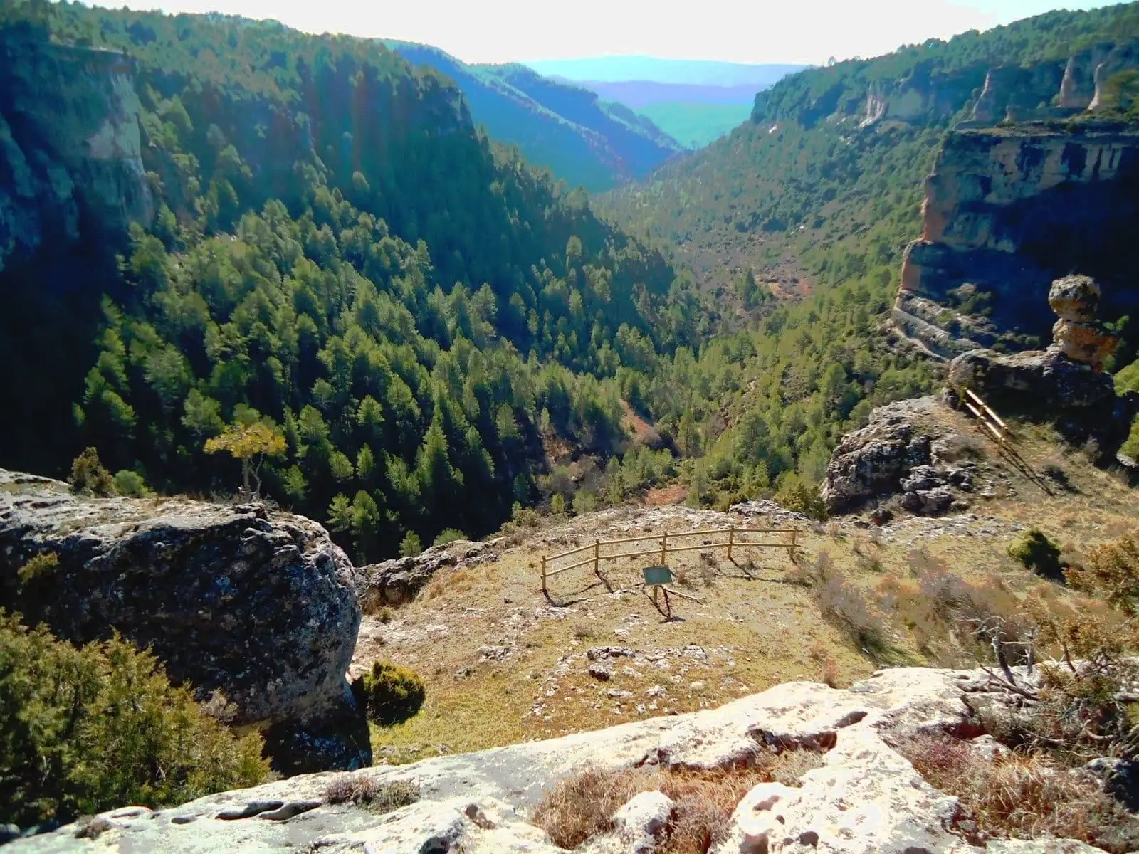
Canyon · Beteta
Hoz de Beteta: the Guadiela canyon in the Serranía de Cuenca
The Hoz de Beteta is a fluvial canyon carved into limestone by the Guadiela River in the Serranía de Cuenca, traversed by road CM-210. It features recreation areas, guided tours like Cueva de la Ramera, and a fault where the river exposes Jurassic against Cretaceous limestones. Protected as a Natural Monument with Matasnos sinkhole.
Rivers and basins
The thread of water from Hoz de Beteta: the Guadiela canyon in the Serranía de Cuenca
Follow these watercourses towards their confluences, villages, and basin history.
- Best season
- Spring and autumn
- Municipality
- Beteta
- Province
- Cuenca
- Altitude
- 1,168 m
- Guadiela River
- Natural Monument
- Cueva de la Ramera
- La Librería
- Road CM-210
A canyon to explore at leisure
The CM-210 road traverses the gorge from end to end, accompanied by recreation areas (Fuente de los Tilos, Casa de la Pradera, Fuente de la Carrera) and guided points of interest such as Cueva de la Ramera, Casa de la Toba, and a botanical trail.
Roadside geology
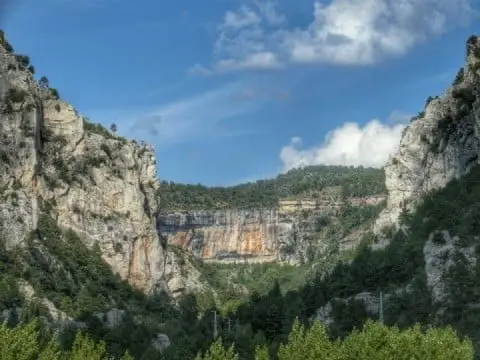
Just over 2 km into the canyon, the river intersects a major geological fault that juxtaposes strata of different ages: upstream, bedded limestones of the Jurassic; downstream, the Cretaceous sequence. The thin-bedded limestone cliffs are locally called “La Librería” (The Bookcase) because they resemble shelves of stacked books.
Together with the Matasnos sinkhole, it forms a designated Natural Monument. Located in Beteta.
Planning your visit
First select the walking stretch you wish to explore; driving along the canyon road does not substitute for completing a trail.
Before visiting
Check regulations and access conditions of the protected natural space. Do not walk along the road traffic lanes, and avoid riverbanks during periods of high water.
Combining visits
Continue your trip in Beteta. Consult its entry to plan your day.
Location
● Reference point · ● Villages · ● Places
Location diagram. Detailed map with tracks and names loads on zoom.
Reference villages: Carrascosa de la Sierra · Beteta · Valsalobre · Cueva del Hierro.
Open the full map and historical layers →