Cave · Carrascosa de la Sierra
Matasnos Sinkhole: where a stream plunges 122 metres underground
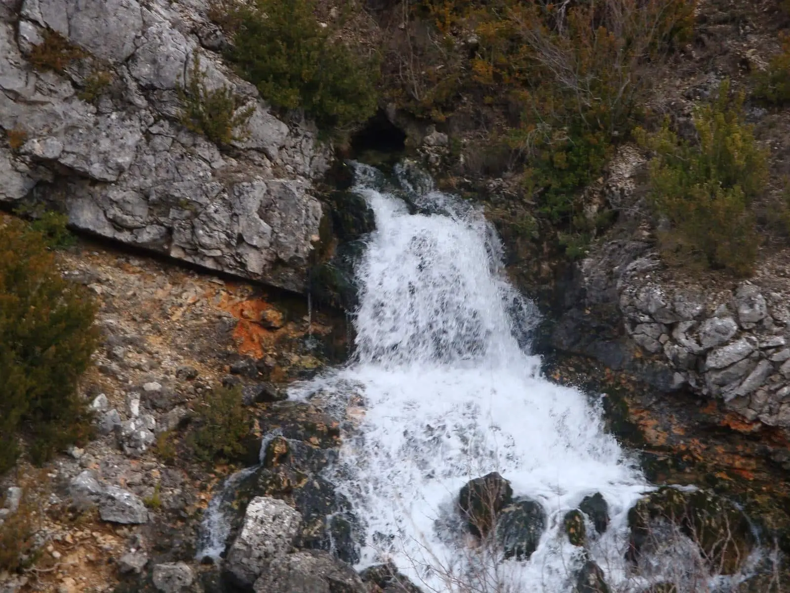
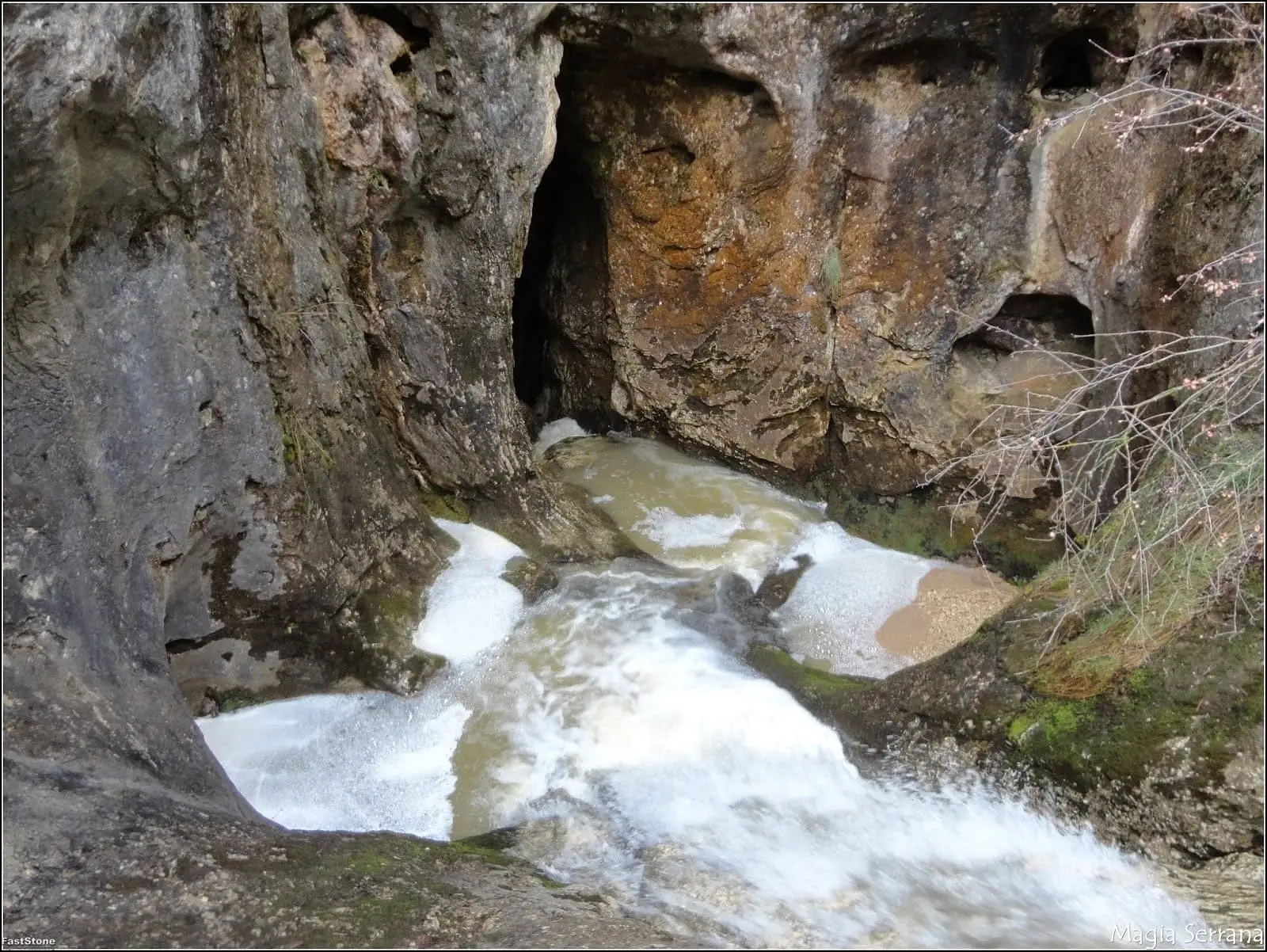
The sinkhole of Matasnos, in Carrascosa de la Sierra (Serranía de Cuenca), is where the Matasnos stream leaves the surface and plunges down a dramatic vertical shaft. One of the most distinctive karst chasms in central Spain, it has been explored to a depth of about 122 metres, where a flooded siphon halts further exploration.
- Municipality
- Carrascosa de la Sierra
- Province
- Cuenca
- Vertical shaft
- -122 m depth
- Swallowed stream
- Speleologists only
A stream vanishing underground
The Matasnos stream flows along the surface until, abruptly, it plunges into a vertical rocky swallow hole and continues its subterranean journey inside the limestone mountain. It provides a striking example of karst hydrology: surface runoff feeding the subterranean aquifer.
Down to the flooded sump
Speleologists have surveyed the abyss down to -122 metres depth, where a completely flooded sump (siphon) halts further exploration. Together with Hoz de Beteta, it forms part of a protected Natural Monument.
Safety guidelines
This is not a developed tourist cave. It should only be explored by individuals skilled in technical speleology, equipped with vertical descent ropes, helmets, and safety gear, working in teams and always leaving notice of their itinerary. Respect bats: avoid entering during breeding or hibernation periods.
Location
● Reference point · ● Villages · ● Places
Location diagram. Detailed map with tracks and names loads on zoom.
Approximate position: village centre.
Reference villages: Carrascosa de la Sierra · Valsalobre · Beteta · Cueva del Hierro.
Open the full map and historical layers →More caves and chasms nearby
View all →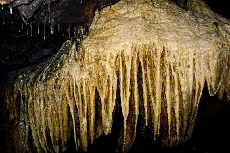
Cueva de la Ramera (Beteta): guided tour in Hoz de Beteta
Beteta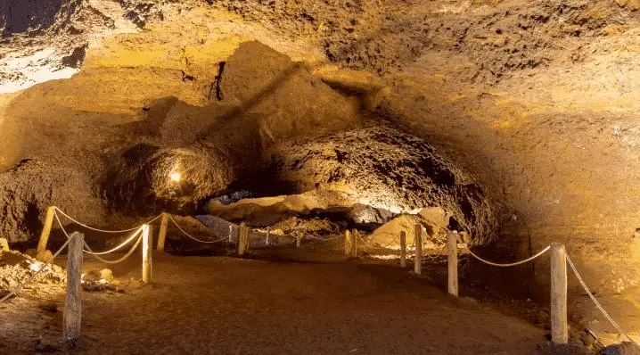
Roman mine of Cueva del Hierro: 2,500 years of iron mining
Cueva del Hierro