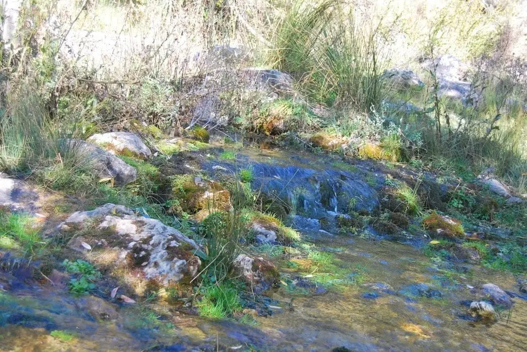
Water source · Beteta
Laguna Grande de El Tobar (Beteta): a lake with saltwater at the bottom
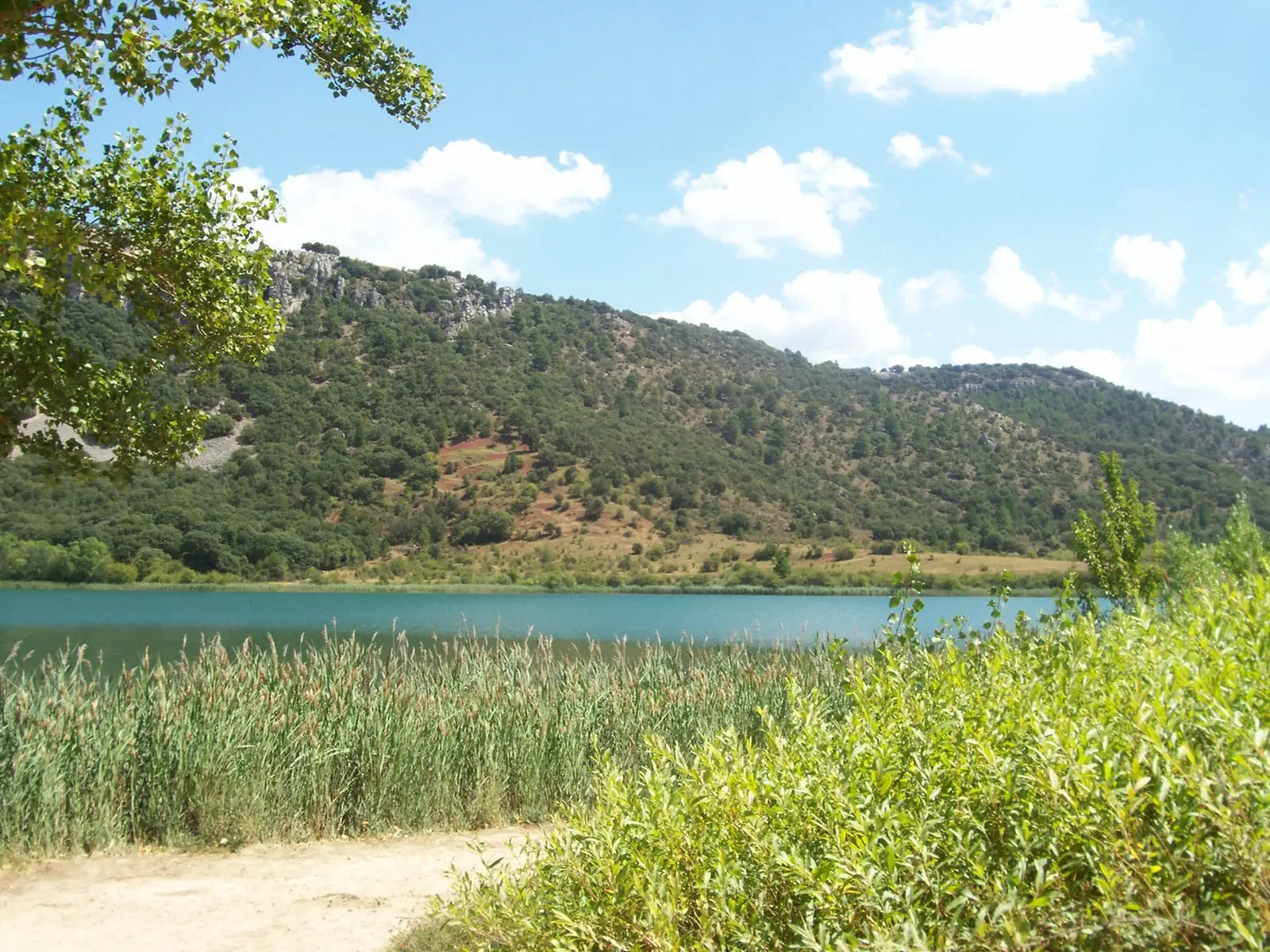
Laguna Grande de El Tobar, in Beteta (Cuenca), is a karst lake of worldwide scientific interest: in its northern basin, below about 11 metres depth, the water is extremely salty, while the upper layer is nearly fresh. The two layers barely mix. It is a National Geosite.
This place across time
Which eras you can read here
A single place can preserve traces from different eras. These layers connect what you see with the stories in the atlas.
- Municipality
- Beteta
- Province
- Cuenca
- National Geosite
- Karst lake
- Saltwater at the bottom
- Serranía de Cuenca
Two lakes, one on top of the other
Near El Tobar, in the municipality of Beteta, the Laguna Grande fills a karst depression opened by dissolving limestone. What makes it unique lies beneath the surface. In its northern basin, below about 11 metres, the water is extremely salty, rich in dissolved common salt, reaching down to the floor at 15 to 18 metres. Above it, the water is nearly fresh. Because saltwater is denser, the two layers hardly mix.
Why it matters
The Spanish Geological Survey (IGME) gives it worldwide scientific interest and lists it as an official Geosite of Interest.
Nearby
The Torcas de Lagunaseca, the Hoz de Beteta, and the Dehesa de Belvalle.
Location
● Reference point · ● Villages · ● Places
Location diagram. Detailed map with tracks and names loads on zoom.
Reference villages: Beteta · Cueva del Hierro · Masegosa · Valsalobre.
Open the full map and historical layers →