Village · Guadalajara · 1,408 m
Motos
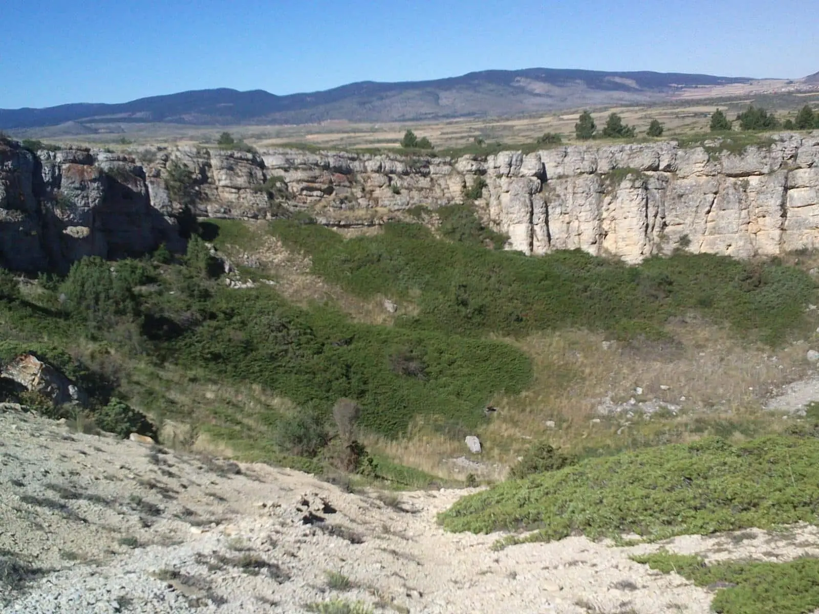
Motos is a small village in the Señorío de Molina at around 1,400 metres, right by the border with Teruel. On its paramera opens El Hoyón de Motos, a large sinkhole, and here concludes the Camino de los Tratantes arriving from Molina de Aragón.
Lands and landscapes
From here, follow the memory of the territory
These readings connect Motos with the history, work, and villages around it.
What to see
The Hoyón de Motos, one of the distinctive circular sinkholes (celadas) of the paramera.
Routes
The Camino de los Tratantes, about 58 km from Molina. Nearby, Alustante.
Places in and around Motos
Routes linked to Motos
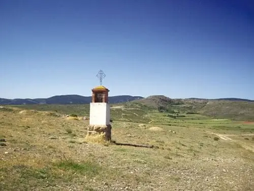
Near Motos
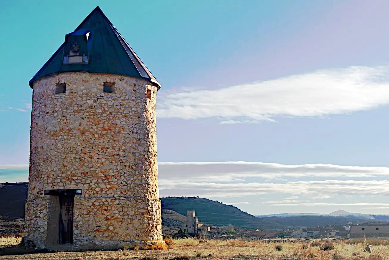
Alustante Windmill
Alustante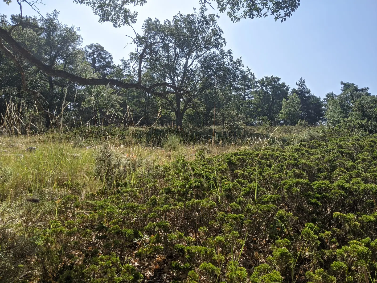
Prostrate juniper woodlands of Alustante-Tordesilos
AlustanteChurch of the Asunción (Alustante): Gothic by Basque stonemasons
AlustanteGR-10 (E7) through the Alto Tajo: the Valencia to Lisbon trail
130 km · 32 h · Linear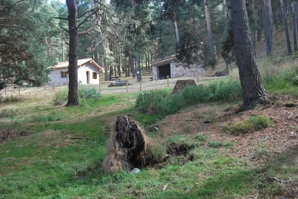
Fuente del Endrino Alto recreation area (Alustante)
Alustante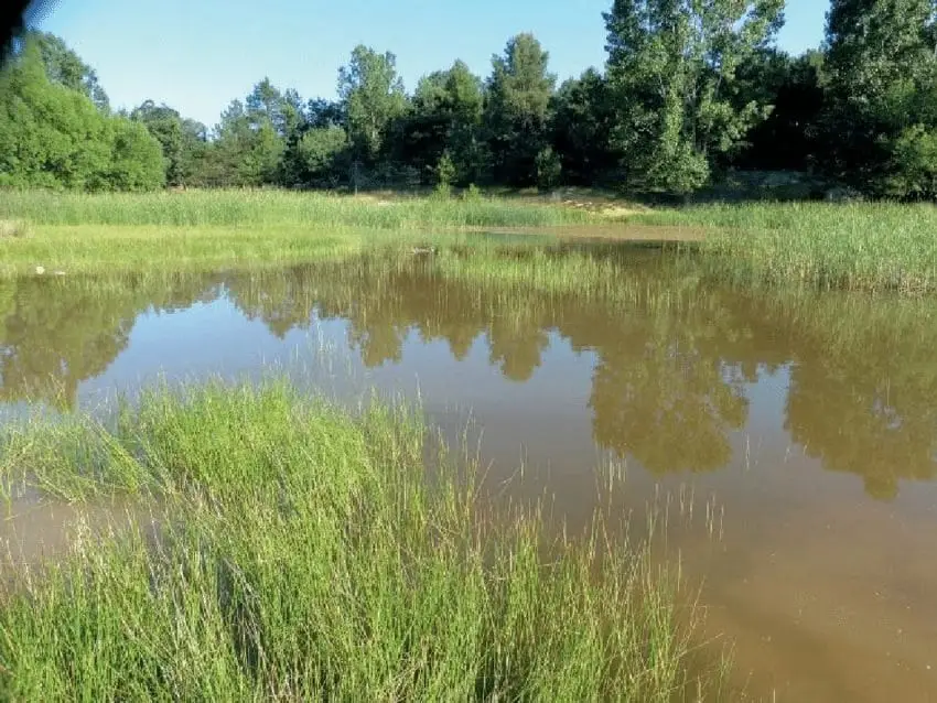
Tordesilos lagoon: birds on the eastern boundary
Tordesilos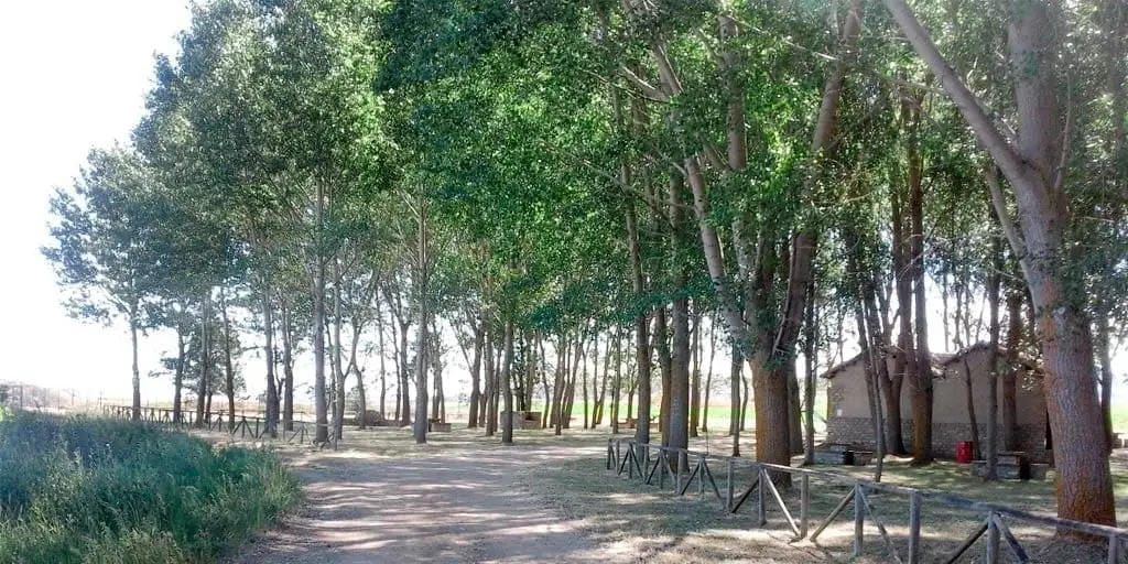
La Laguna recreation area (Tordesilos)
Tordesilos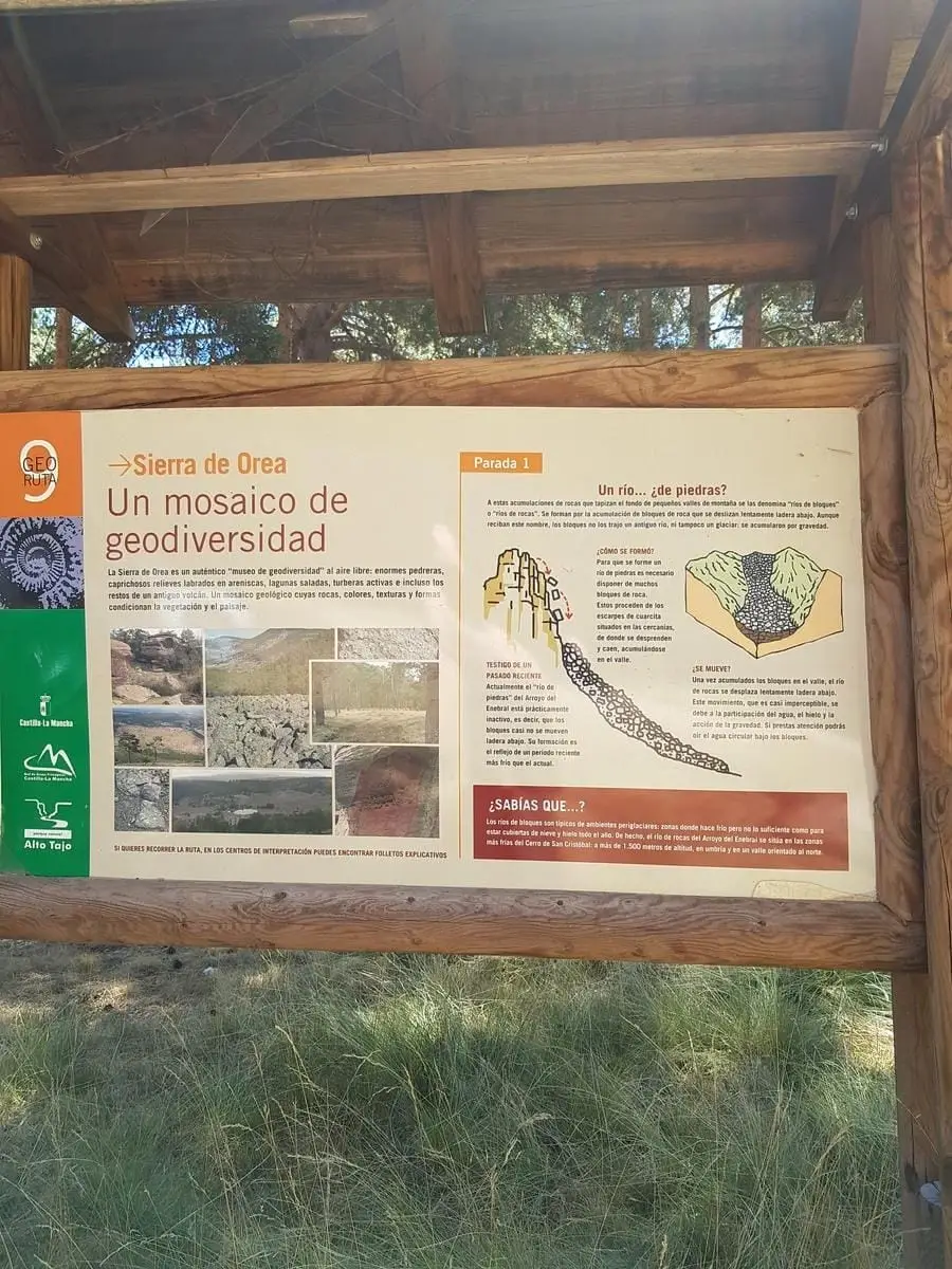
Geotrail 9: the Sierra de Orea
21 km · 5 h · CircularPopulation of Motos, 1842–1960
Motos reached a peak of 228 inhabitants in 1930 ; in 1960 it had 186, before merging into the municipality of Alustante.
Climate in Motos month by month
2015–2024 averages from Copernicus ERA5 reanalysis for an altitude of approx. 1,408 m. Useful for planning, not a substitute for live forecasts.
Location
● Reference point · ● Villages · ● Places
Location diagram. Detailed map with tracks and names loads on zoom.
Reference villages: Alustante · Tordesilos · Orea · Adobes.
Open the full map and historical layers →