Village · Guadalajara · 1,384 m
Adobes
Adobes is a village in the Señorío de Molina at about 1,380 metres, at the southeastern end of the Molina-Alto Tajo Geopark, near Alustante and Tordesilos. It is a place of pine forests and meadows with several recreation areas to spend the day: El Ojillo, next to a spring, El Espinar, and El Cañuelo.
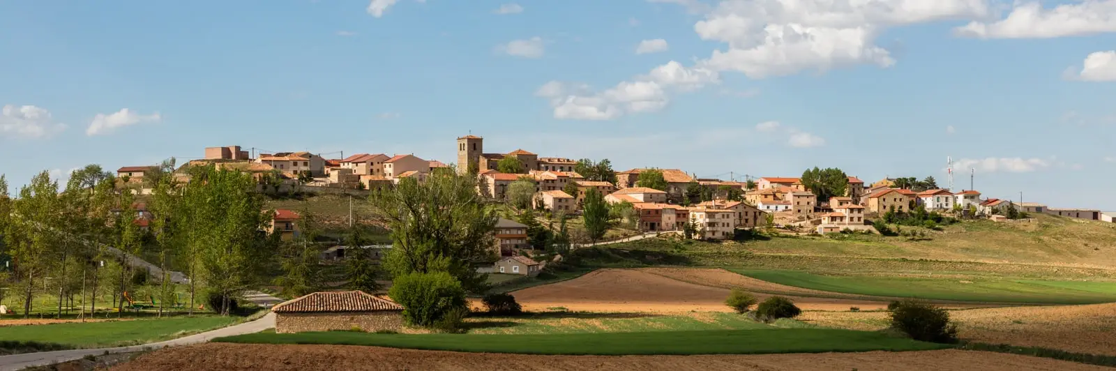
What to do in Adobes
Adobes is a village for a day outdoors. Around it there are three very different recreation areas:
- El Ojillo, about 5 km away, next to a spring in the middle of a pine forest.
- El Espinar, 2 km away, in a meadow with a fountain and washhouse.
- El Cañuelo, on the way out towards Tordellego, with a red stone fountain.
Nearby
Alustante, with its windmill, and Tordesilos, with its lagoon.
Places in and around Adobes
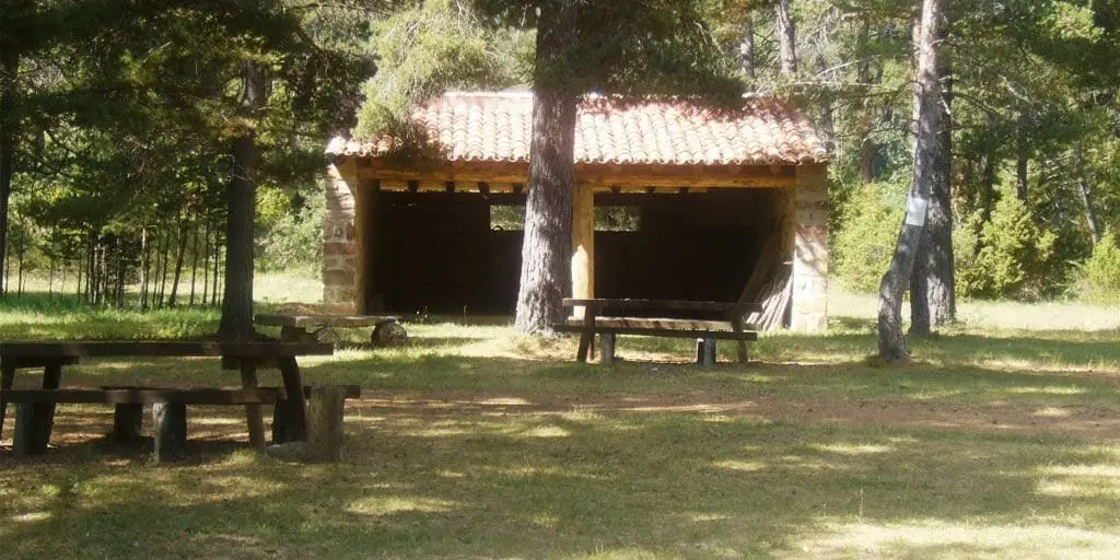
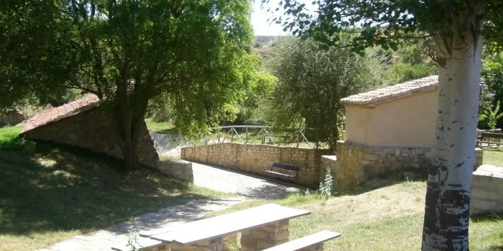
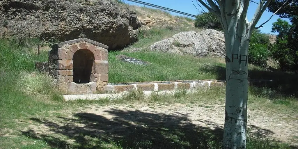
Near Adobes
Church of the Asunción (Alustante): Gothic by Basque stonemasons
Alustante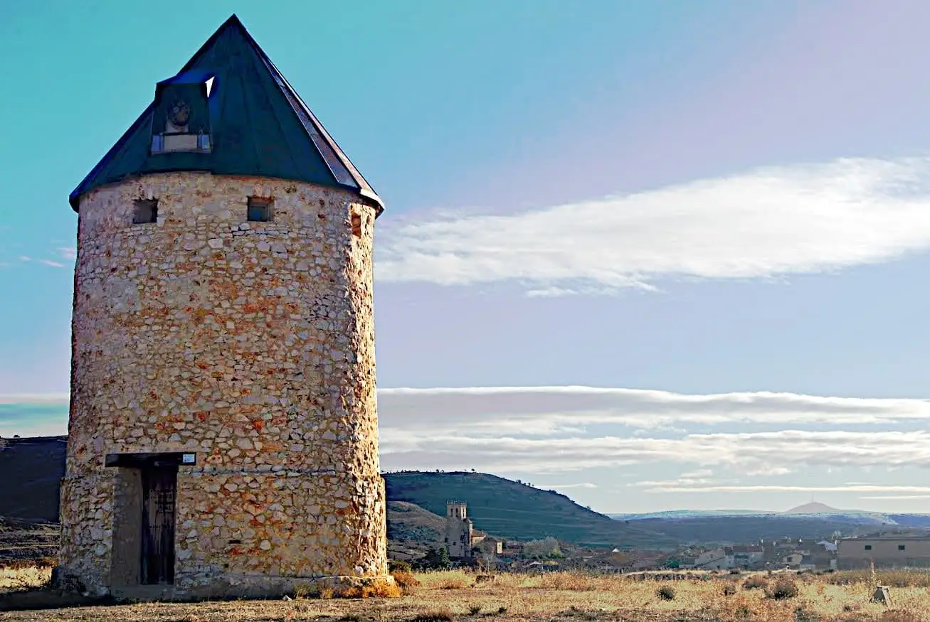
Alustante Windmill
Alustante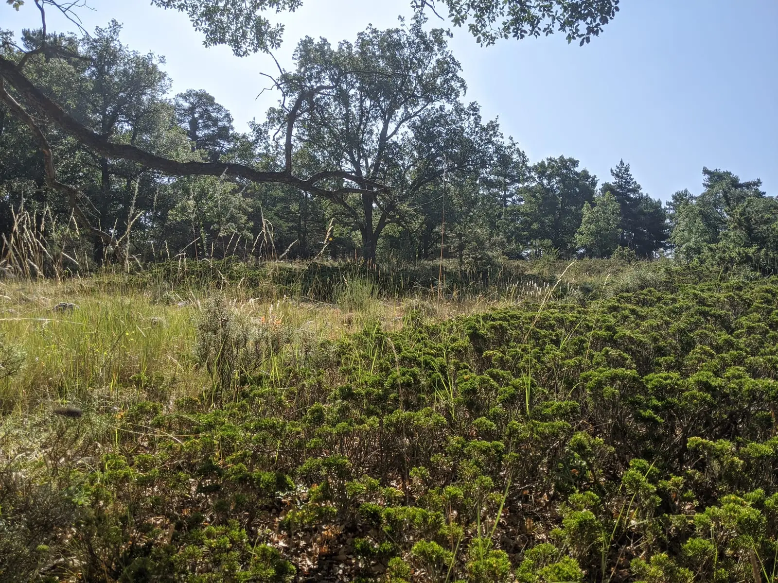
Prostrate juniper woodlands of Alustante-Tordesilos
Alustante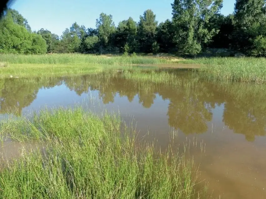
Tordesilos lagoon: birds on the eastern boundary
Tordesilos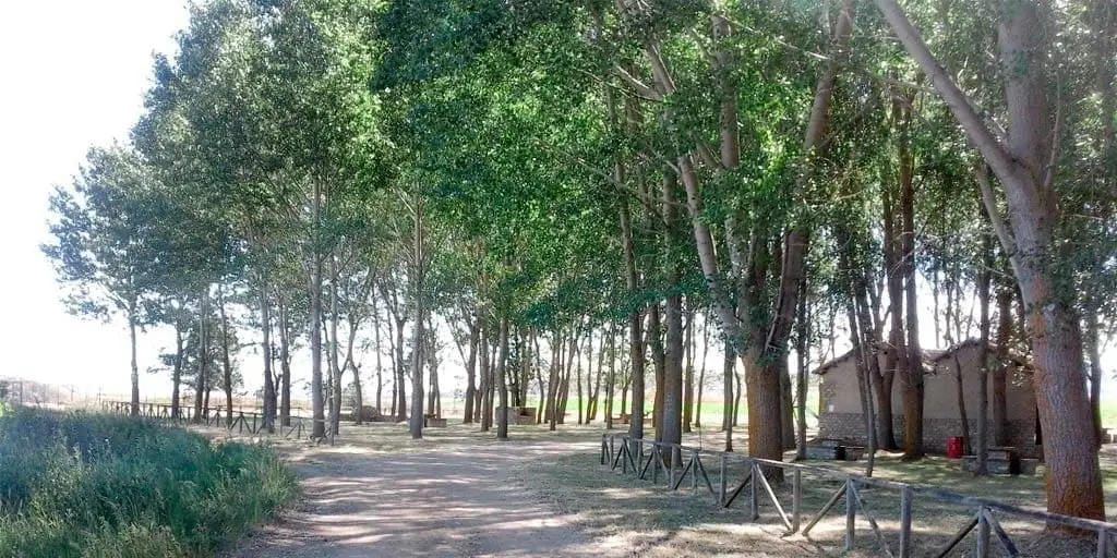
La Laguna recreation area (Tordesilos)
Tordesilos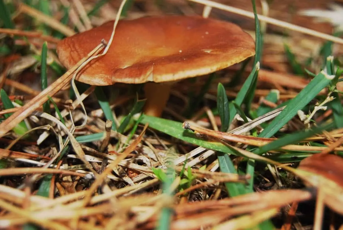
La Sierra mushroom-gathering controlled zone
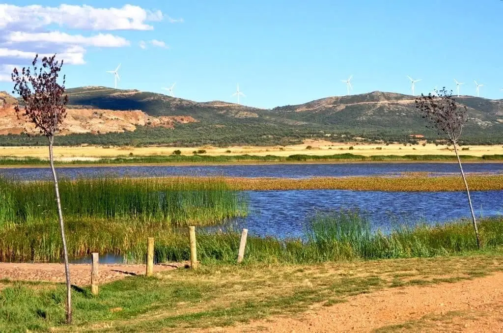
Setiles lagoon or Laguna de los Majanos
Roble de la Sexma: where the Sierra representatives were elected
AlcorochesPopulation of Adobes, 1842–2021
Adobes reached a peak of 360 inhabitants in 1887 . In the 2021 census there were 32 , a decrease of 91%. This is the history told in the emptying of the Alto Tajo.
Climate in Adobes month by month
2015–2024 averages from Copernicus ERA5 reanalysis for an altitude of approx. 1,384 m. Useful for planning, not a substitute for live forecasts.
Location
● Reference point · ● Villages · ● Places
Location diagram. Detailed map with tracks and names loads on zoom.
Reference villages: Piqueras · Tordellego · Alustante · Tordesilos.
Open the full map and historical layers →