Village · Guadalajara · 1,399 m
Alustante
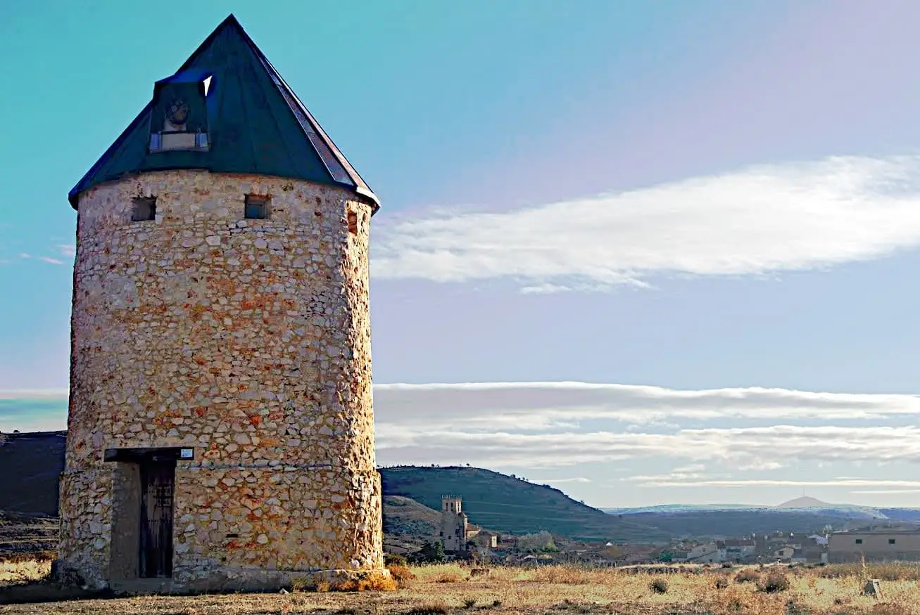
Alustante is a village in the southeast of the Alto Tajo at around 1,400 metres, along the Camino de los Tratantes. It preserves the remains of a windmill documented in 1860 and, about 7 km away, the Fuente del Endrino at 1,700 metres, probably the highest recreation area in the Park, with a mountain shelter.
Lands and landscapes
From here, follow the memory of the territory
These readings connect Alustante with the history, work, and villages around it.
Traces in the village and its surroundings
Which eras you can read here
A single place can preserve traces from different eras. These layers connect what you see with the stories in the atlas.
What to see in Alustante
- The windmill, with few surviving documents and many local stories.
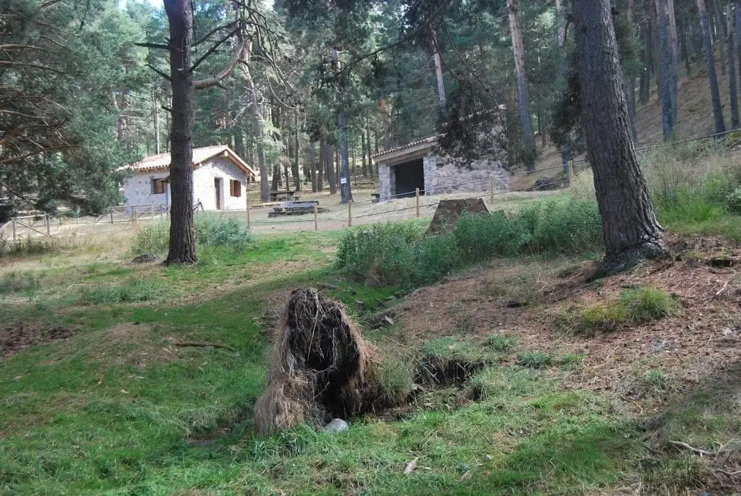
- Fuente del Endrino Alto and the Fuente del Endrino shelter, among pine woods and peat bogs at 1,700 metres.
Routes
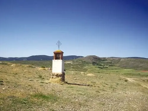
The Camino de los Tratantes, passing through here on its way to Motos.
More to see
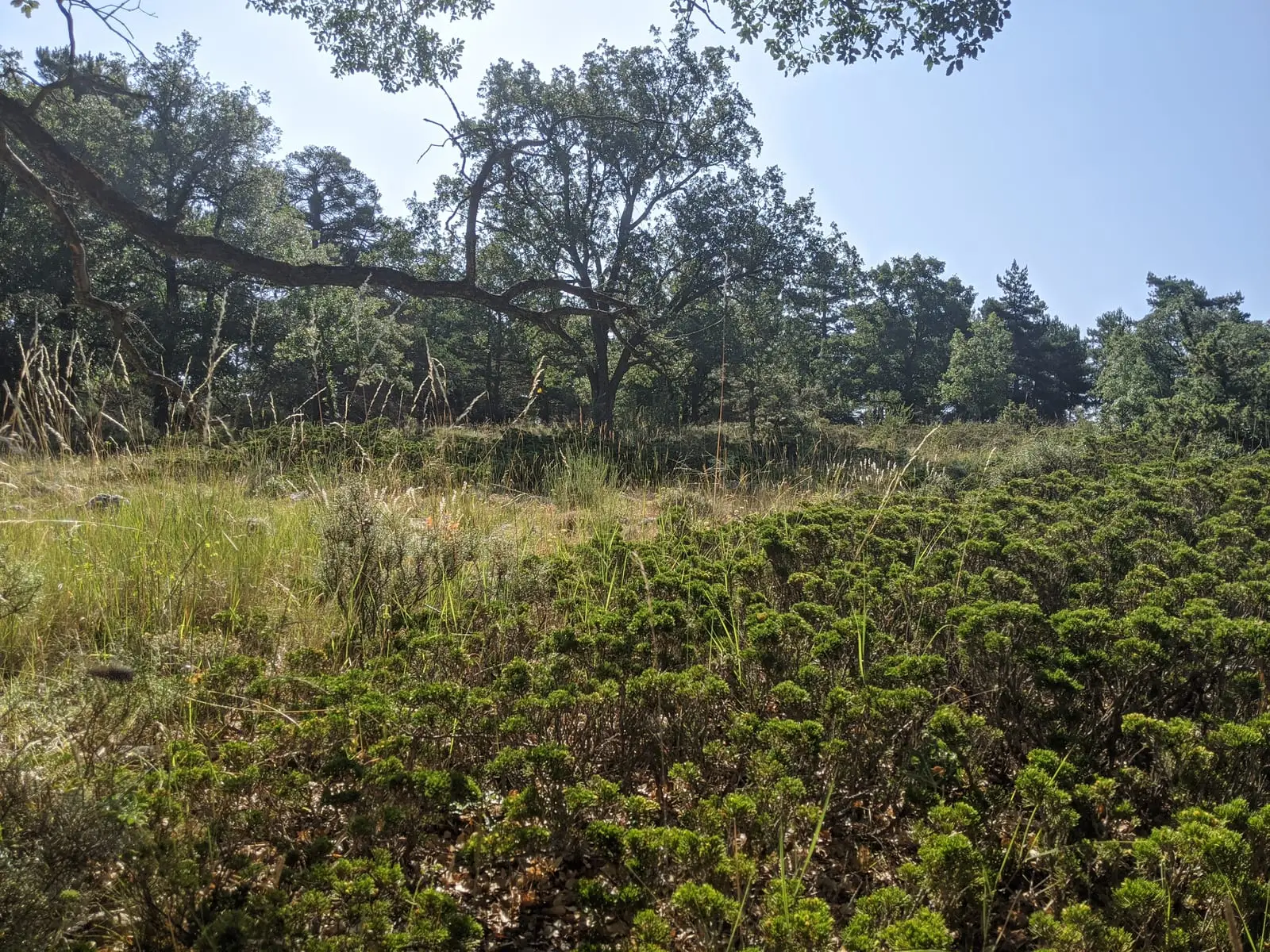
In the municipality: the church of La Asunción and the creeping juniper heaths.
Lives that continue to arrive
Paulino Lorente and Silveria Pérez moved from grazing and sewing to wage labour in Madrid. Their memories ground post-war history and migration in a specific family: The bread Paulino kept.
Elena Ivanciu shared in Hontanar her journey from Romania and her work in eldercare, commerce, and hospitality. Her account expands the village’s memory with the voices of those who settled here later. Continued in Those who also told the village’s story.
Places in and around Alustante
Routes linked to Alustante
Near Alustante
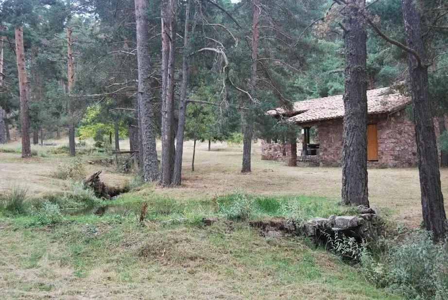
El Angosto recreation area (Alcoroches)
Alcoroches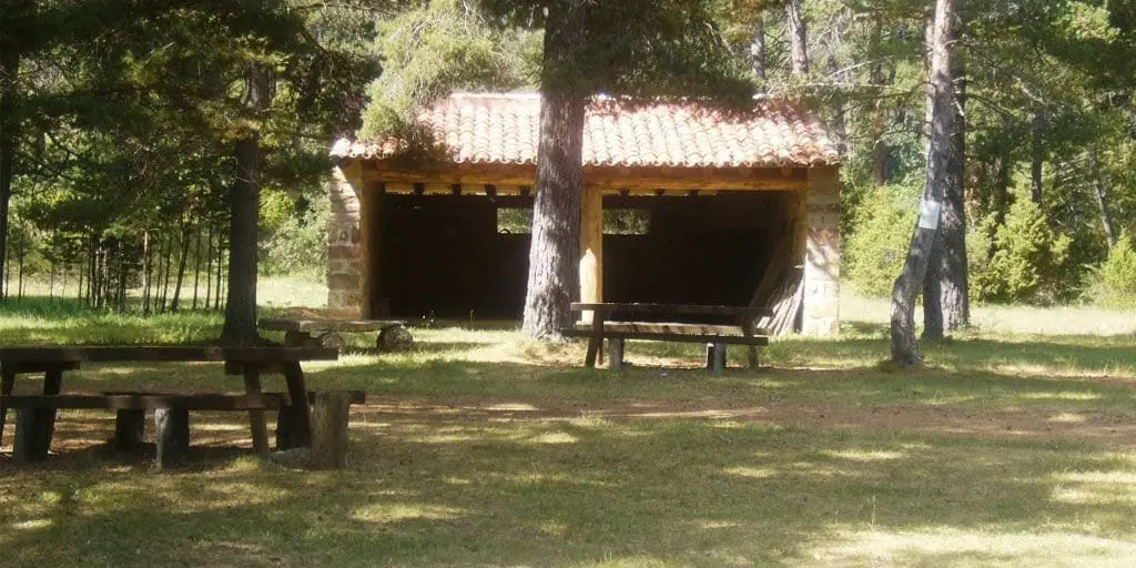
El Ojillo recreation area (Adobes)
Adobes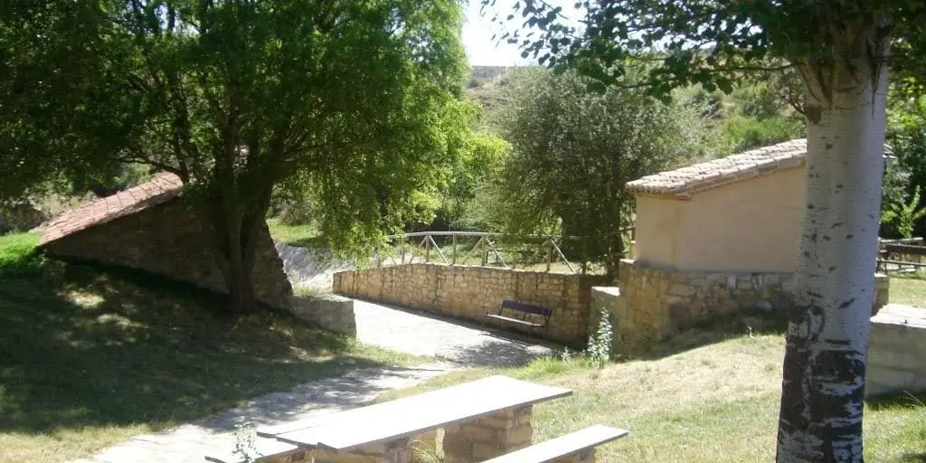
El Espinar recreation area (Adobes)
Adobes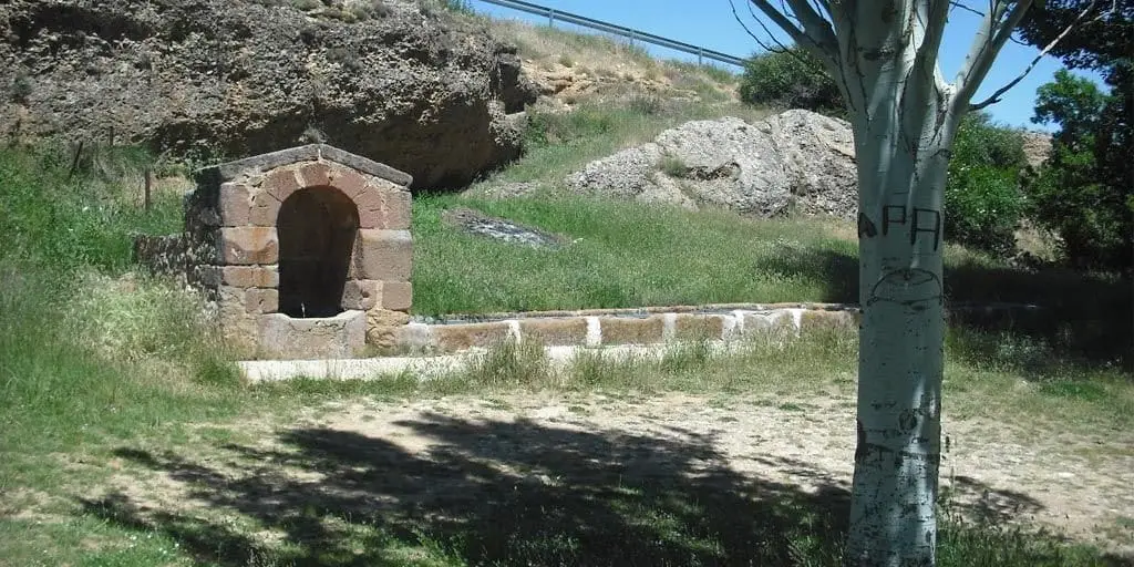
El Cañuelo recreation area (Adobes)
AdobesGR-10 (E7) through the Alto Tajo: the Valencia to Lisbon trail
130 km · 32 h · Linear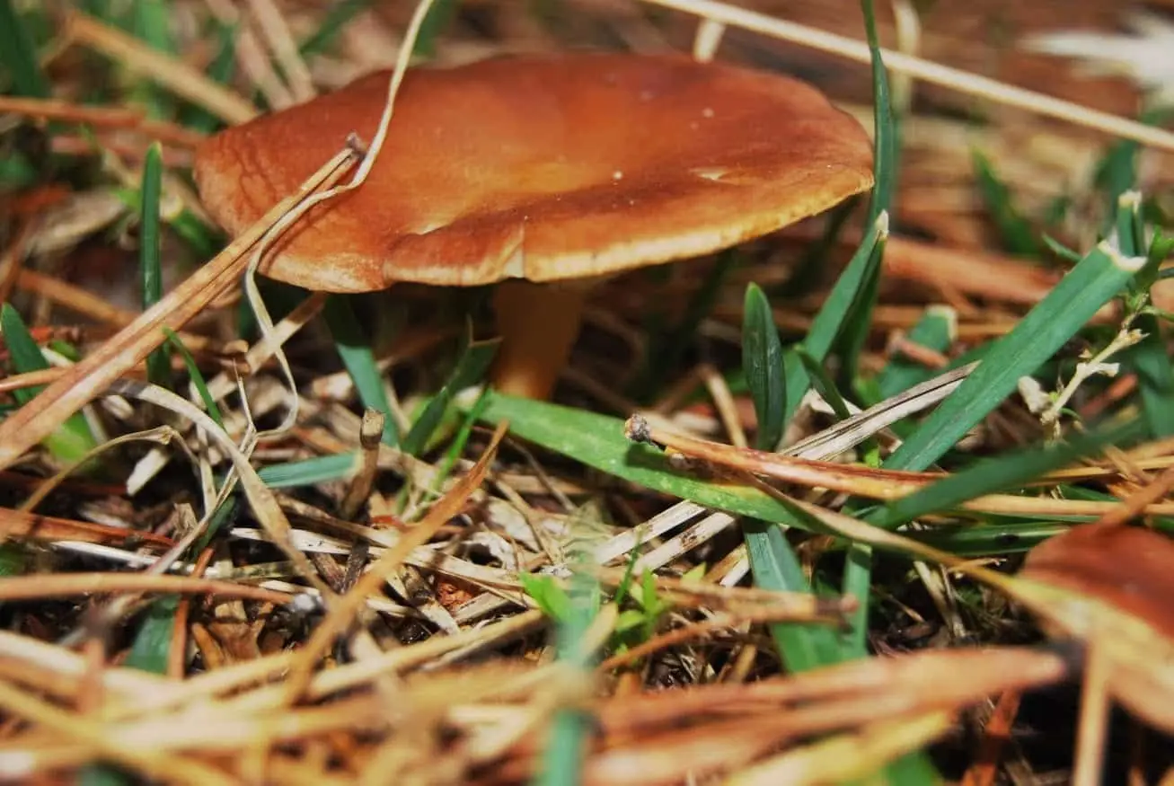
La Sierra mushroom-gathering controlled zone
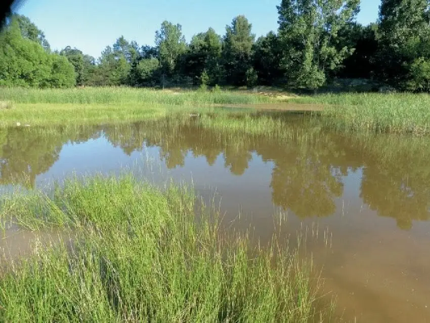
Tordesilos lagoon: birds on the eastern boundary
Tordesilos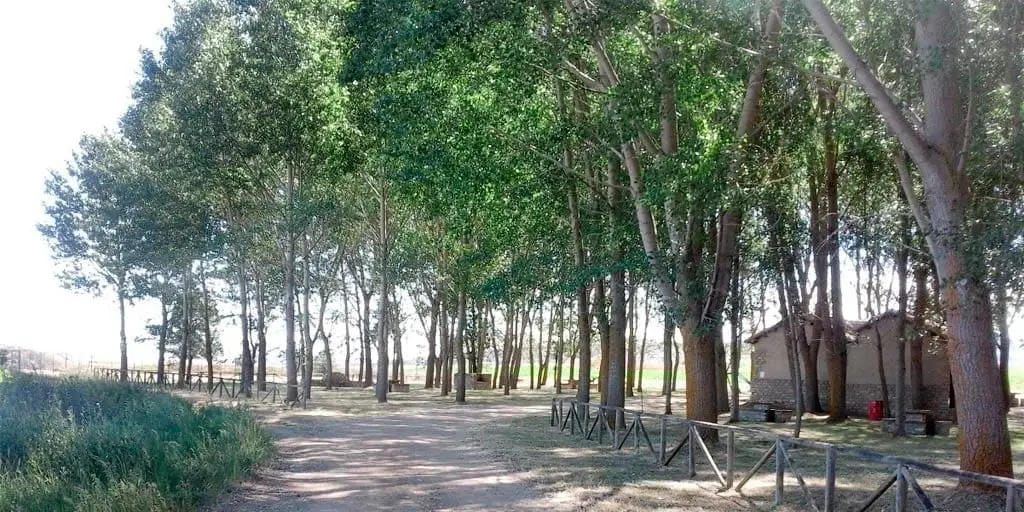
La Laguna recreation area (Tordesilos)
TordesilosPopulation of Alustante, 1842–2021
Alustante reached a peak of 1,532 inhabitants in 1887 . In the 2021 census there were 154 , a decrease of 90%. This is the history told in the emptying of the Alto Tajo.
Climate in Alustante month by month
2015–2024 averages from Copernicus ERA5 reanalysis for an altitude of approx. 1,399 m. Useful for planning, not a substitute for live forecasts.
Location
● Reference point · ● Villages · ● Places
Location diagram. Detailed map with tracks and names loads on zoom.
Reference villages: Motos · Adobes · Alcoroches · Piqueras.
Open the full map and historical layers →