Cave · Motos
Hoyón de Motos: the celada sinkholes of the paramera
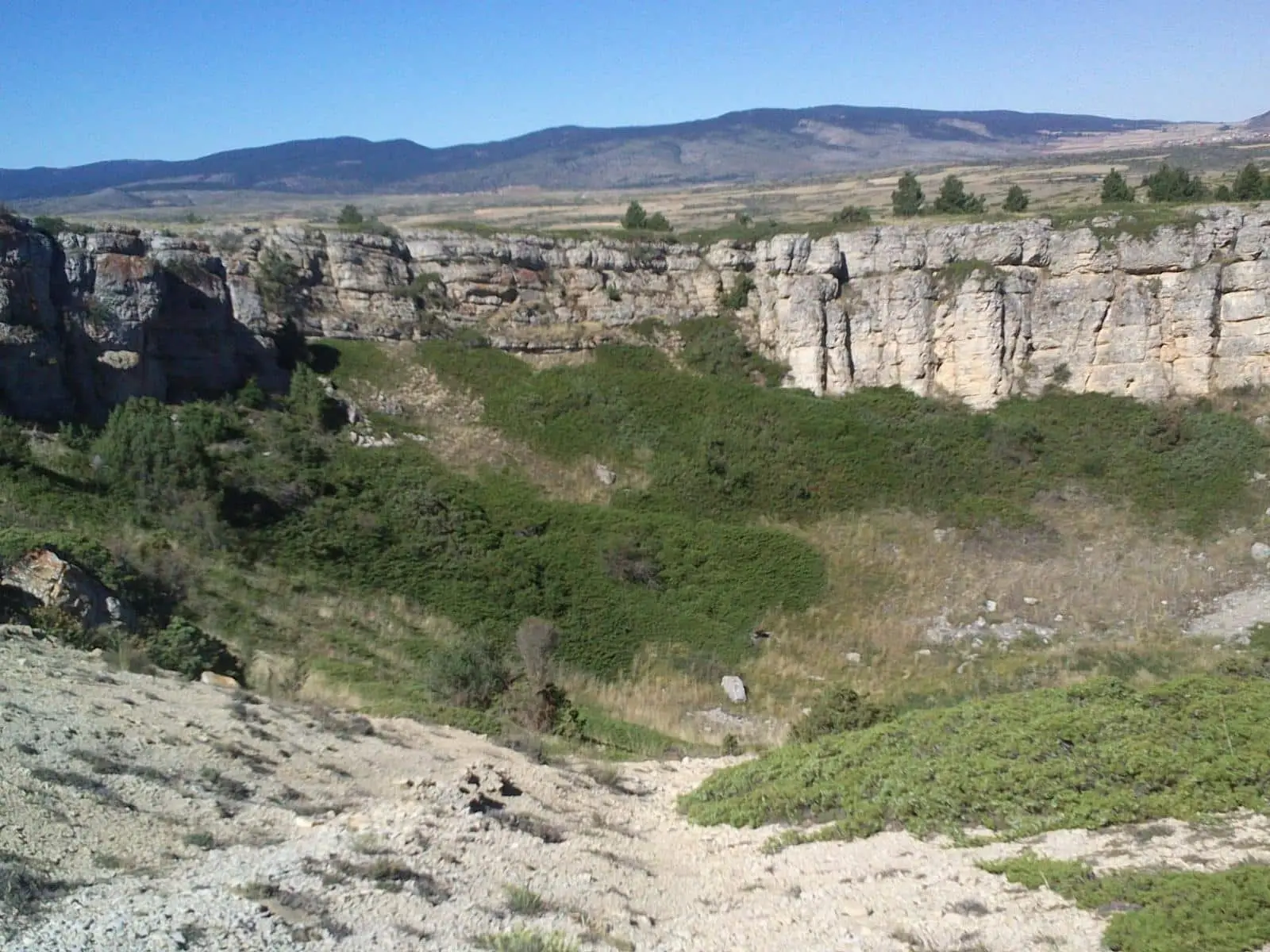
The Hoyón de Motos is a funnel sinkhole with gentle slopes, formed in Jurassic limestones and marls of the high plateau at 1,500-1,600 metres altitude. Known locally as celadas or hoyones, these rounded depressions are created by rock dissolution in an unchanneled, fractured plateau under a cool, humid mountain climate.
Lands and landscapes
From here, follow the memory of the territory
These readings connect Hoyón de Motos: the celada sinkholes of the paramera with the history, work, and villages around it.
- Municipality
- Motos
- Province
- Guadalajara
- Altitude
- 1,458 m
- Sinkhole
- Celadas
- Paramera
- Jurassic
Craters without a volcano
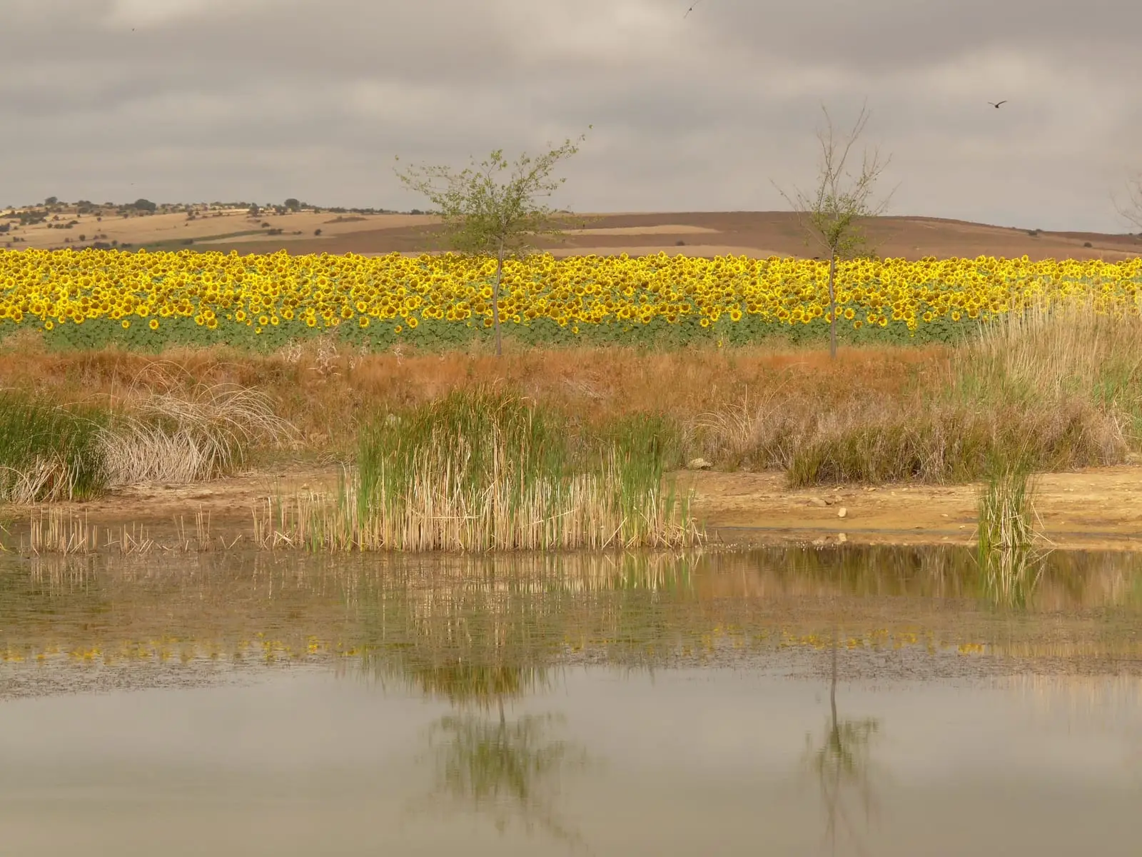
These karst sinkholes (dolines), locally referred to as celadas or hoyones, surprise visitors with their crater-like outlines and large dimensions. They have no volcanic connection: they are ground subsidences caused by the chemical dissolution of limestone bedrock.
Why they abound here
The high tableland gathers ideal conditions: it is virtually flat, lacking an integrated surface river drainage to carry runoff away; the bedrock is heavily fractured; and the mountain climate at 1,500-1,600 metres is cool and humid. Rain and meltwater linger, infiltrate, and dissolve the stone. Several distinct morphological types of sinkholes dot these plateau fields.
Located in Motos. Compare it with the deeper Hoyón de Ródenas.
Location
● Reference point · ● Villages · ● Places
Location diagram. Detailed map with tracks and names loads on zoom.
Reference villages: Motos · Tordesilos · Alustante · Adobes.
Open the full map and historical layers →