Heritage · Tierzo
Armallá Salt Pans (Tierzo): Salt of the Señorío Since Roman Times
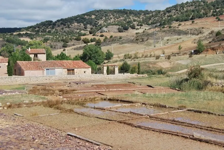
Armallá saltworks, in Tierzo, around 15 km from Molina de Aragón beside the CM-210, probably have Roman origins and are documented from the 10th century. Their present layout dates from the reign of Charles III, when the Crown managed salt production. Their name is thought to come from the Arabic for “salt mine”. Storehouses, or alfolíes, and the system for collecting salt water survive.
Rivers and basins
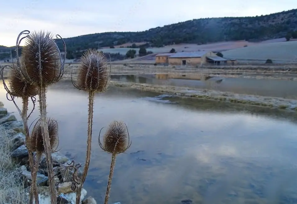
The thread of water from Armallá Salt Pans (Tierzo): Salt of the Señorío Since Roman Times
Follow these watercourses towards their confluences, villages, and basin history.
Lands and landscapes
From here, follow the memory of the territory
These readings connect Armallá Salt Pans (Tierzo): Salt of the Señorío Since Roman Times with the history, work, and villages around it.
This place across time
Which eras you can read here
A single place can preserve traces from different eras. These layers connect what you see with the stories in the atlas.
- Municipality
- Tierzo
- Province
- Guadalajara
- Altitude
- 1,114 m
- Roman origin
- Charles III
- Alfolíes
- Arabic name
White gold
Salt was wealth: it served to preserve food, tan hides, and feed livestock. Armallá was exploited possibly from Roman times, with records dating back to the 10th century. The structure we see corresponds to the reign of Charles III (1759–1788), when the Crown took over salt management.
A name with history
«Armallá» likely derives from the Arabic madin al-mallaha, «salt mine».
What is preserved
The alfolíes, or salt warehouses, and the system used to capture the mineral-laden brine. They lie between kilometres 85 and 86 of the CM-210, in Tierzo.
Plan your visit
Dedicate the visit to reading the whole complex: salt water, pools, and buildings. The history of salt helps explain why this landscape was productive.
Before you travel
Seeing remains from the surroundings does not imply permission to enter any building or private property. Respect fences and fragile structures.
To combine
Continue with the story about the salt pans. Check its guide to decide if it fits in the same outing.
Location
● Reference point · ● Villages · ● Places
Location diagram. Detailed map with tracks and names loads on zoom.
Reference villages: Tierzo · Baños de Tajo · Taravilla · Fuembellida.
Open the full map and historical layers →More heritage: chapels, bridges and saltworks nearby
View all →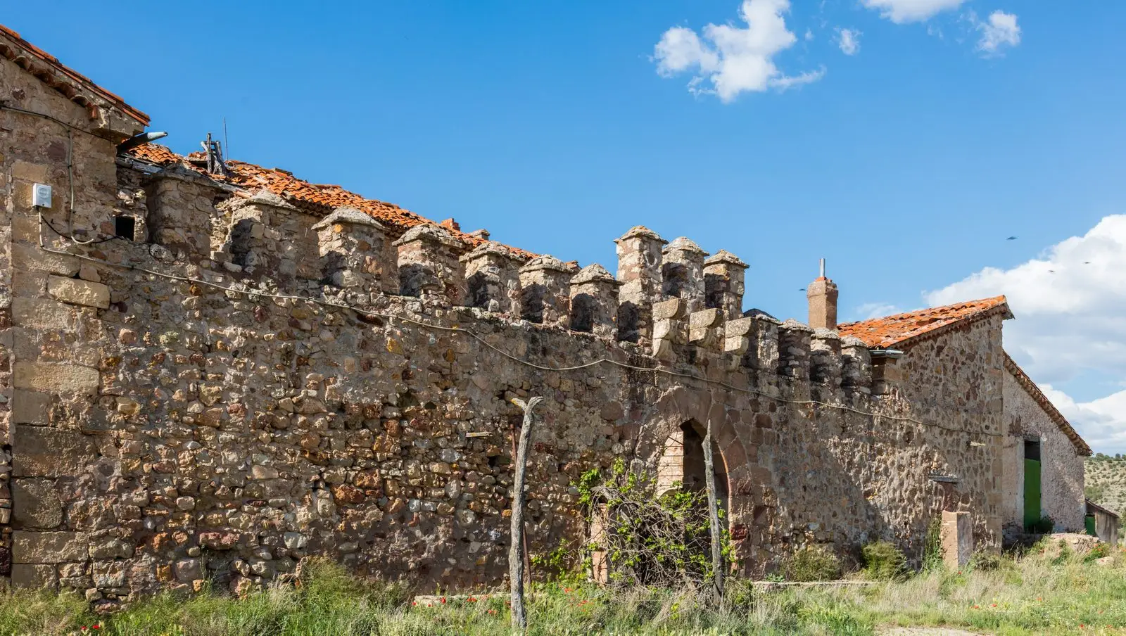
Fortified house of Vega de Arias (Tierzo): Casa del Cid
Tierzo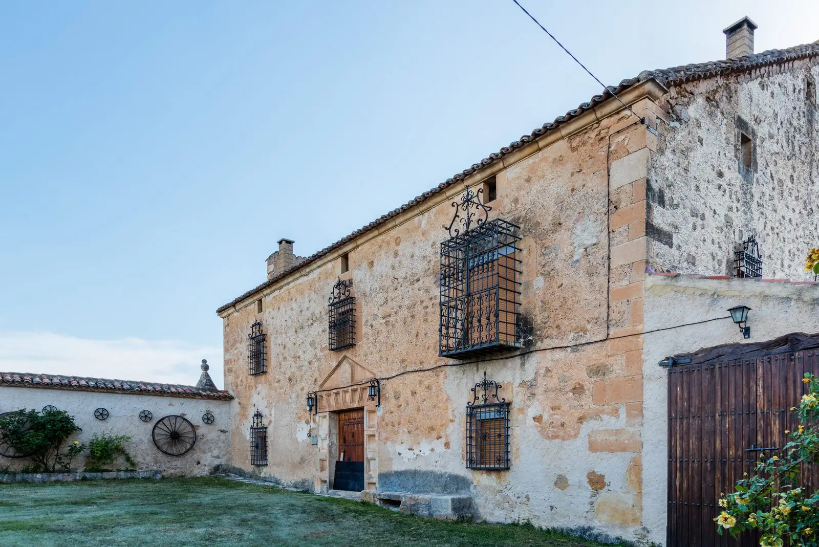
Casa Grande of Valhermoso: a 1786 molinesa manor house
Valhermoso