Viewpoint · Taravilla
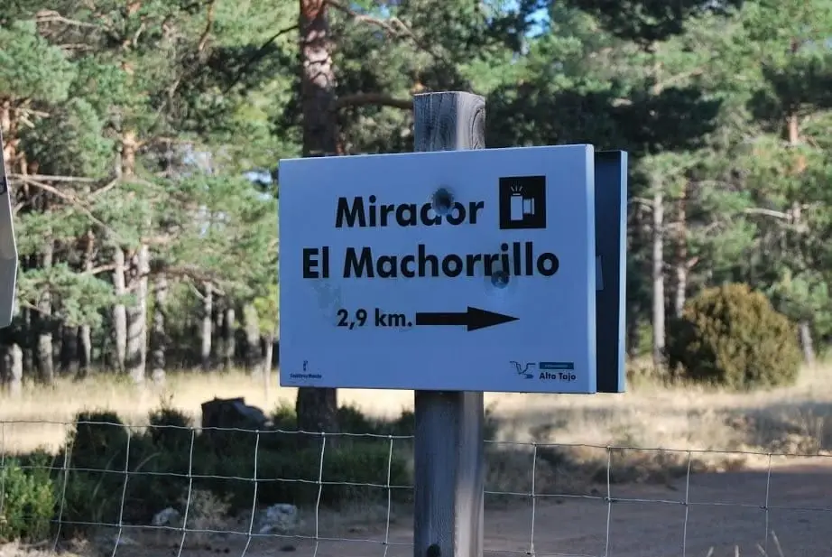
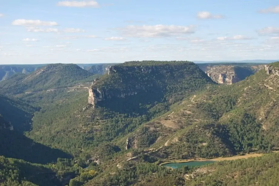
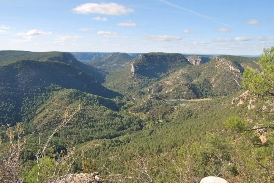
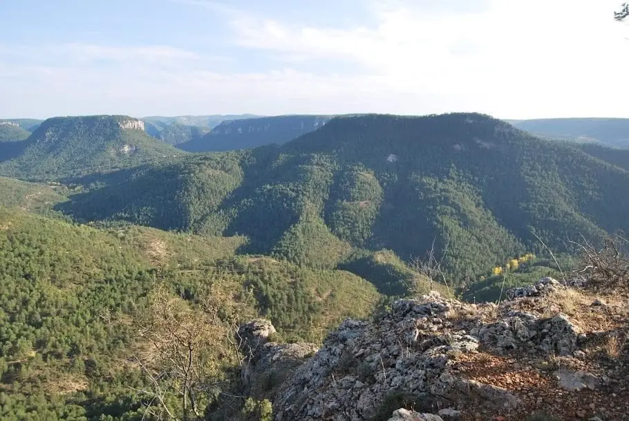
Mirador del Machorrillo: Laguna de Taravilla from above
The Mirador del Machorrillo, on the Muela de Utiel above Taravilla, is a natural balcony over the Tagus canyon looking down on Laguna de Taravilla, hinting at Salto de Poveda, and framing Muela del Conde, popular with climbers. Reached via the Park trail that follows the top of the plateau among old pines and junipers.
Lands and landscapes
From here, follow the memory of the territory
These readings connect Mirador del Machorrillo: Laguna de Taravilla from above with the history, work, and villages around it.
- Best season
- Spring and autumn
- Municipality
- Taravilla
- Province
- Guadalajara
- View of Laguna de Taravilla
- Muela de Utiel
- Old pines and junipers
- La Muela trail
The lake like a footprint
From El Machorrillo, Laguna de Taravilla looks like a green-rimmed footprint. Nearby you can sense Salto de Poveda and, standing out above everything else, Muela del Conde, with its classic rock-climbing routes.
The forest on the plateau
The track crosses the high plateau of Muela de Utiel, home to very old pines and junipers, twisted by harsh winters, with an undergrowth of box and aromatic herbs giving the ground a soft, carpeted look.
How to get there
The best way is to follow the Park route Ruta BTT 3, La Muela, which traverses the high rim, taking in several viewpoints along the way.
Photo: El Observario
Location
● Reference point · ● Villages · ● Places
Location diagram. Detailed map with tracks and names loads on zoom.
Approximate position: village centre.
Reference villages: Taravilla · Baños de Tajo · Terzaga · Tierzo.
Open the full map and historical layers →More viewpoints nearby
View all →
Nearby routes
All routes →
MTB route 2: the Tagus Viewpoints (Taravilla)
33 km · 4 h · Linear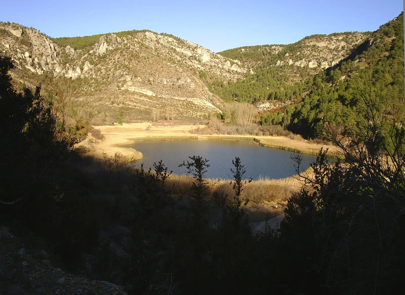
MTB route 3: La Muela, between Taravilla and Peralejos
24 km · 6 h · Linear