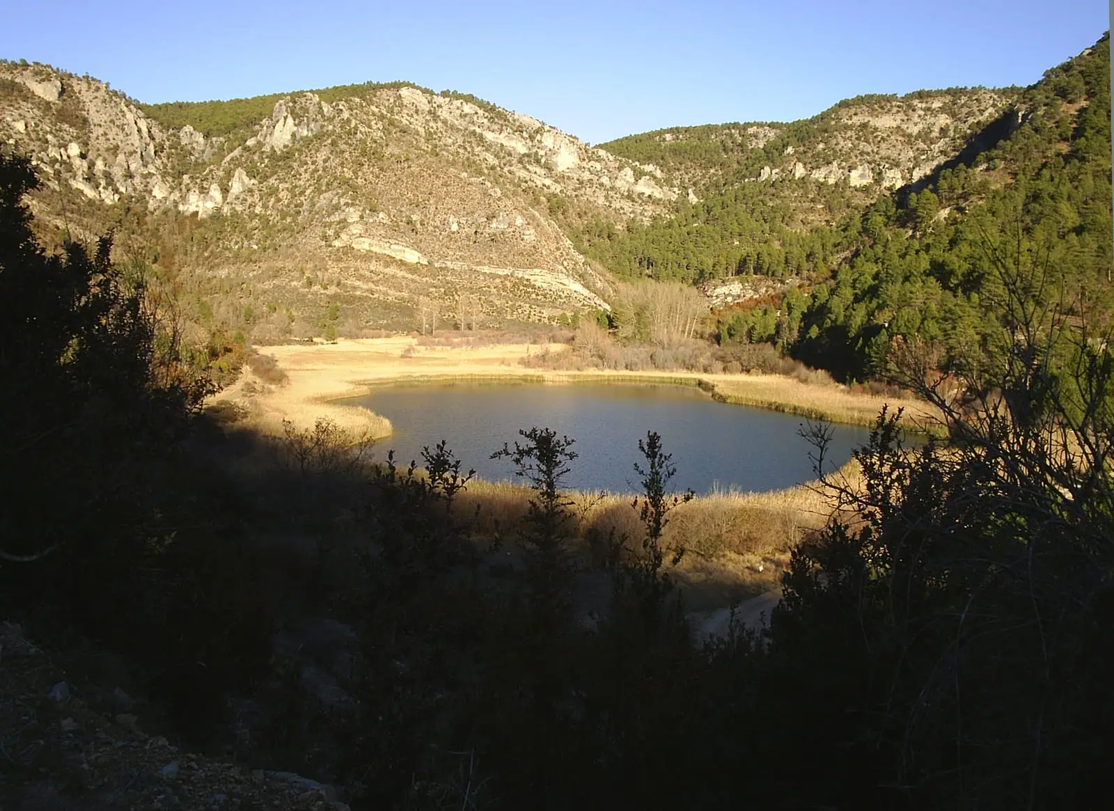
Bike route · Taravilla, Fuembellida, Lebrancón
Ruta BTT 2: MTB route 2: the Tagus Viewpoints (Taravilla)
A linear route of around 33 km and 4 hours, of moderate difficulty, for cycling along a main track with branches to Cueva del Febrero, Pie y Medio and Puntal del Pancho viewpoints, balconies over the Tajo canyon, Peña Horadada and Garabatea castle. It is very good for watching cliff-nesting birds of prey. It was formerly RG PNAT 3.
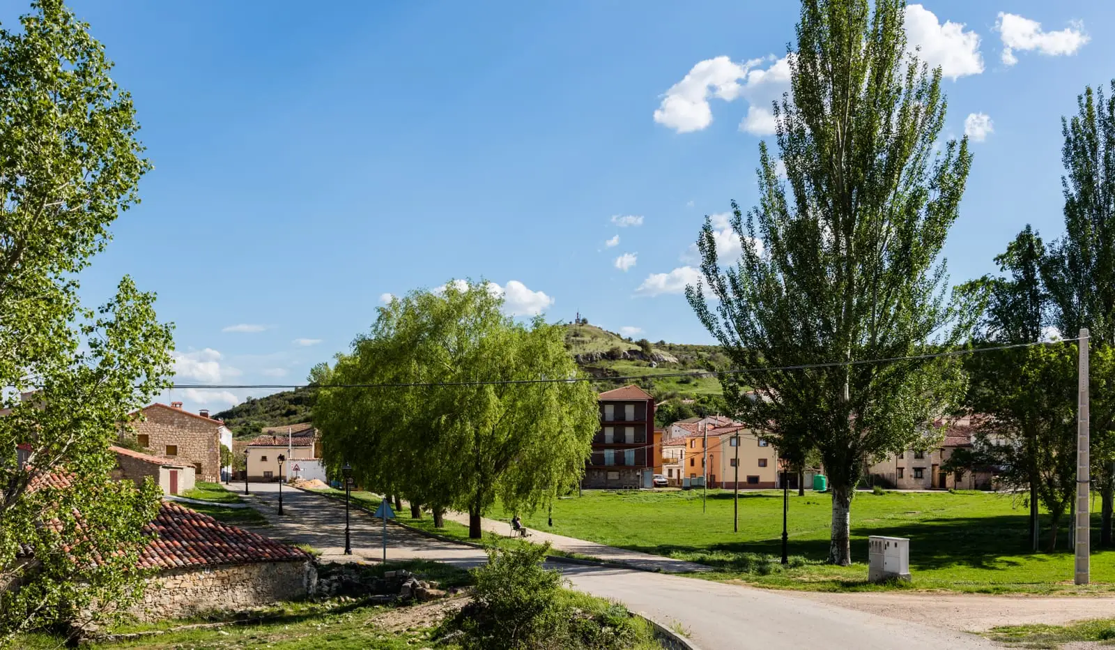
Lands and landscapes
From here, follow the memory of the territory
These readings connect MTB route 2: the Tagus Viewpoints (Taravilla) with the history, work, and villages around it.
- Code
- Ruta BTT 2
- Distance
- 33 km
- Elevation gain
- 473 m
- Duration
- 4 h
- Trail type
- Linear
- Difficulty
- Moderate
- Altitude
- 1,317 m
Walking duration without transfers or stops. Check in the official source whether distance and time include the return leg. Difficulty rated according to the official source; verify its conditions and notices. “Easy” does not imply wheelchair or stroller accessibility.
- Ruta BTT 2
- Linear, 33 km
- Unfenced viewpoints
- Birds of prey
A succession of natural balconies
- Cueva del Febrero: the Cabrillas River in the foreground and, in the distance, Muela del Conde and Peñalén. Located in Taravilla (guide).
- Pie y Medio: Fuente de la Teja beside the Tagus and the massive limestone slab of Peña Horadada or Peña de la Gitana.
- Puntal del Pancho: the limestone crag of Castillo de Garabatea, on the valley floor.
Many cliffside viewpoints lack railings: take care near the drop-offs.
Birds
Golden eagle, peregrine falcon, Egyptian vulture, and griffon vulture, as well as cliff-dwelling birds such as the blue rock thrush, rock thrush, crag martin, red-billed chough, and jackdaw. Bring binoculars.
By bicycle
Carry a helmet, water, food, and tools: many tracks in the Natural Park are long, lacking fountains or mobile reception. Ride slowly, yield to walkers, and remain on authorised tracks.
Before you set out
Carry water, mountain footwear, and download the GPS track in advance: mobile reception is absent in many areas. Check the forecast on Today in the Alto Tajo and the official trail sheet for notices and closures, and respect seasonal restrictions during raptor breeding periods.
Official route · Parque Natural del Alto Tajo (Junta de Castilla-La Mancha). Description, track and notices on the official guide. Before setting out, verify there whether changes or closures apply.
Location
● Reference point · ● Villages · ● Places · ━ Simplified official route
Location diagram. Detailed map with tracks and names loads on zoom.
Reference villages: Taravilla · Baños de Tajo · Terzaga · Tierzo.
Open the full map and historical layers →