Village · Guadalajara · 1,228 m
Valhermoso
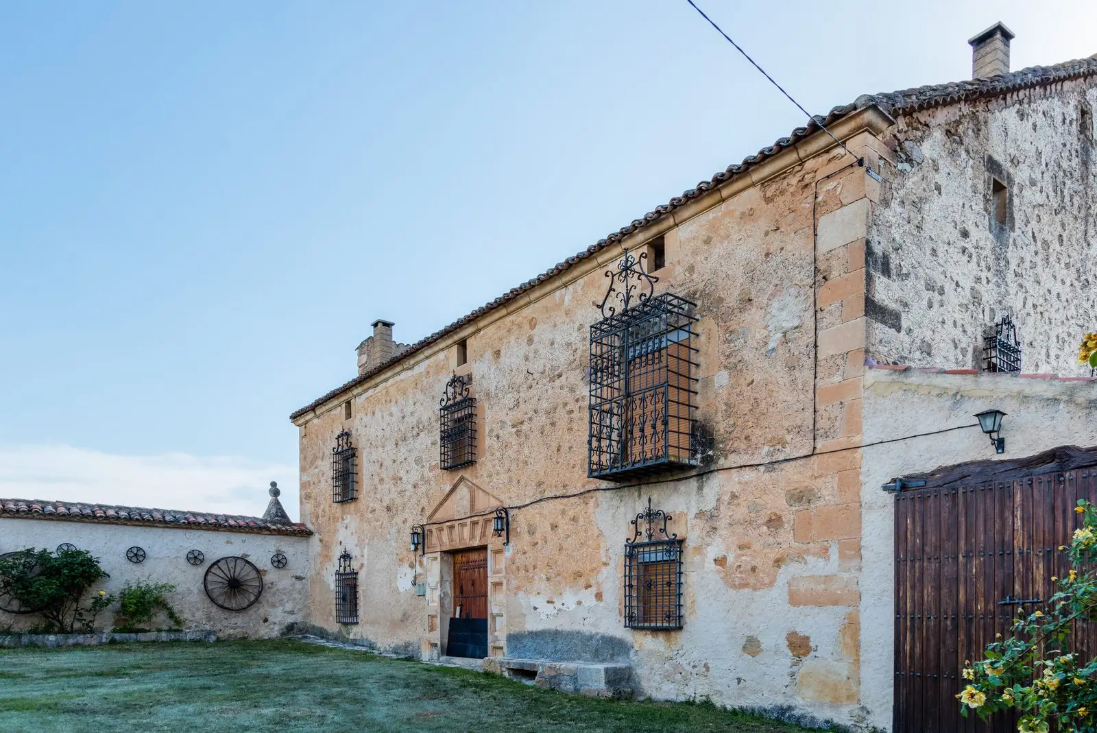
Valhermoso is a small village in the Señorío de Molina, around 1,230 metres above sea level, on the Camino del Cid cultural itinerary. Escalera belongs to its municipality. The townscape is dominated by Casa Grande, a large Molina-style house built around 1786, with a house, stables and surrounding wall.
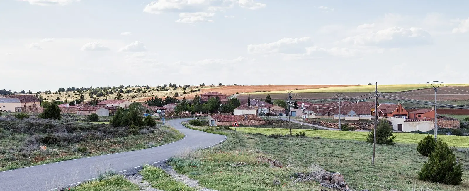
Traces in the village and its surroundings
Which eras you can read here
A single place can preserve traces from different eras. These layers connect what you see with the stories in the atlas.
What to see
The Casa Grande.
Nearby
Escalera and its Spanish juniper chozones, and Ventosa, at the gateway to the Barranco de la Hoz canyon.
Places in and around Valhermoso
Near Valhermoso
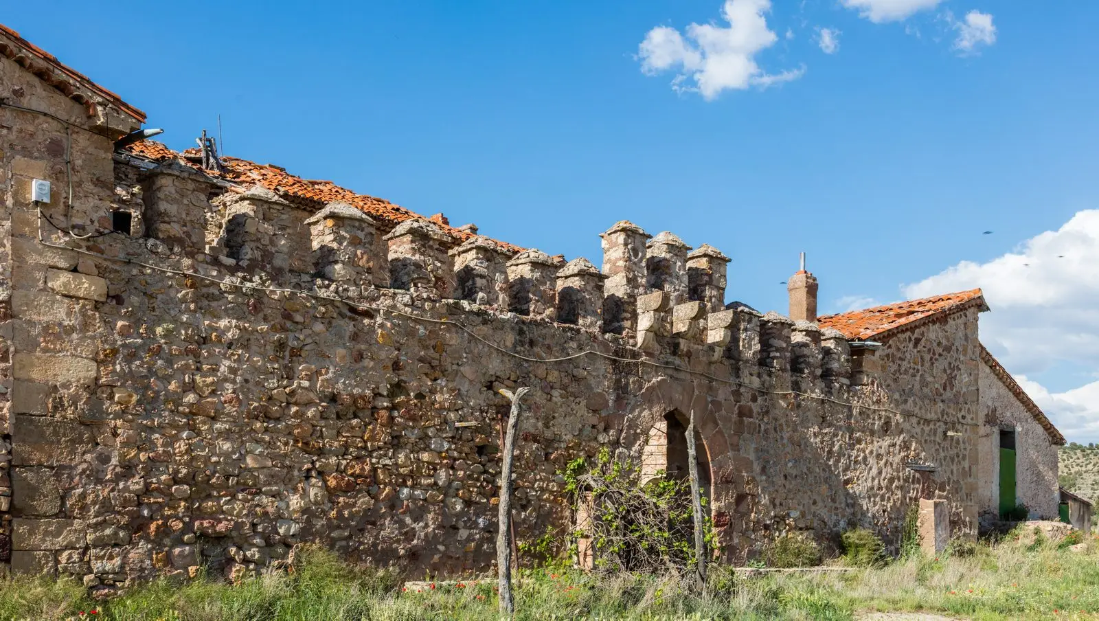
Fortified house of Vega de Arias (Tierzo): Casa del Cid
Tierzo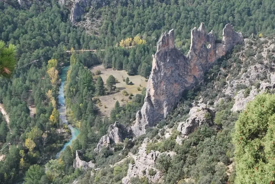
Mirador del Pie y Medio (Fuembellida)
Fuembellida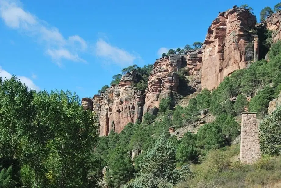
Geotrail 5: from Barranco de la Hoz to Cuevas Labradas
15 km · 4 h · Linear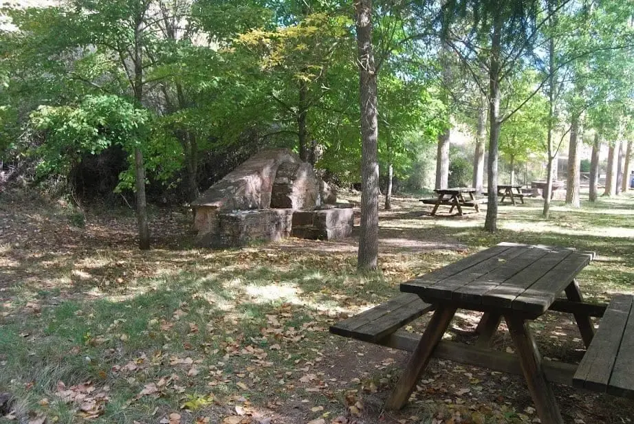
Barranco de la Hoz recreation area
Corduente, Ventosa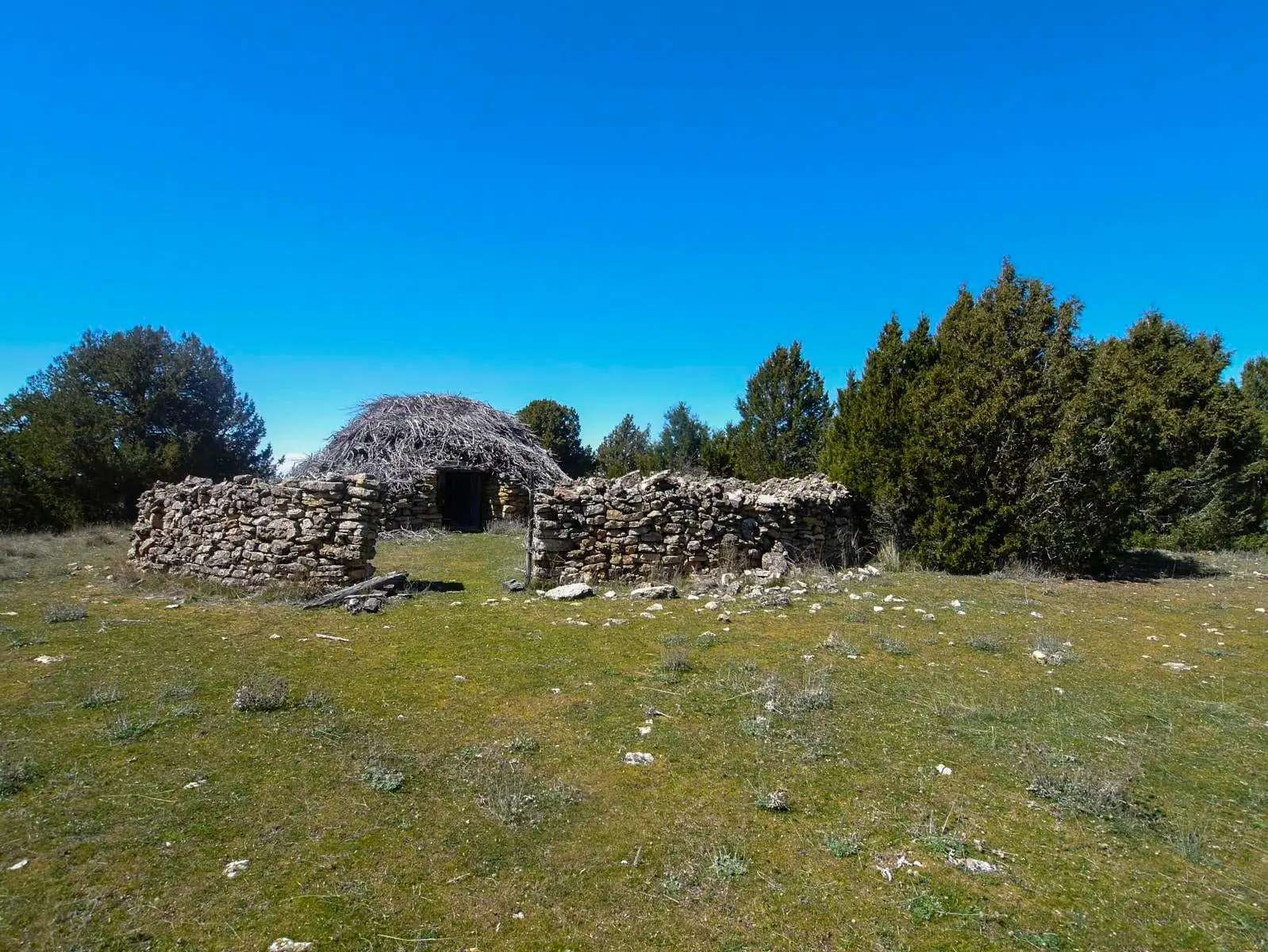
Juniper chozones of Escalera: El Cerrillo and El Sabinar
Escalera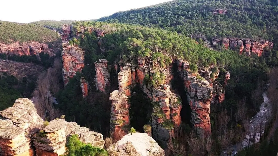
Sanctuary of the Virgen de la Hoz: the hermitage beneath red cliffs
Corduente, Ventosa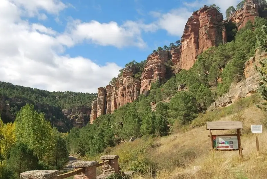
Barranco de la Hoz: the red canyon of the Gallo River
Corduente, VentosaEl Huso: the stone monolith of Barranco de la Hoz
CorduentePopulation of Valhermoso, 1842–2021
Valhermoso reached a peak of 379 inhabitants in 1857 . In the 2021 census there were 26 , a decrease of 93%. This is the history told in the emptying of the Alto Tajo.
Climate in Valhermoso month by month
2015–2024 averages from Copernicus ERA5 reanalysis for an altitude of approx. 1,228 m. Useful for planning, not a substitute for live forecasts.
Location
● Reference point · ● Villages · ● Places
Location diagram. Detailed map with tracks and names loads on zoom.
Reference villages: Ventosa · Fuembellida · Tierzo · Escalera.
Open the full map and historical layers →