Village · Guadalajara · 1,151 m
Ventosa
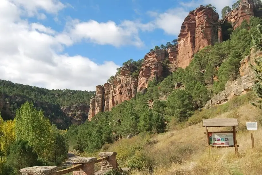
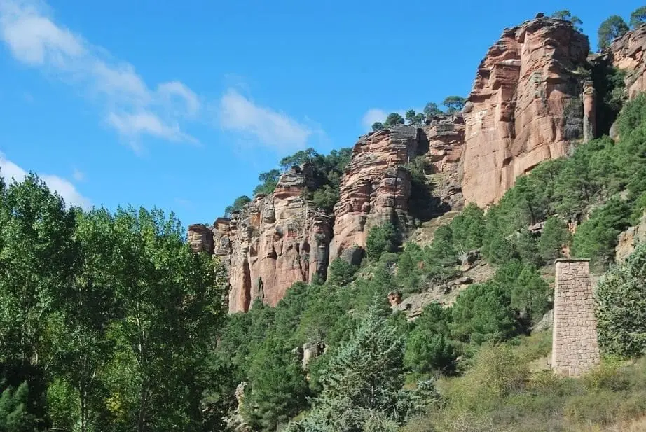
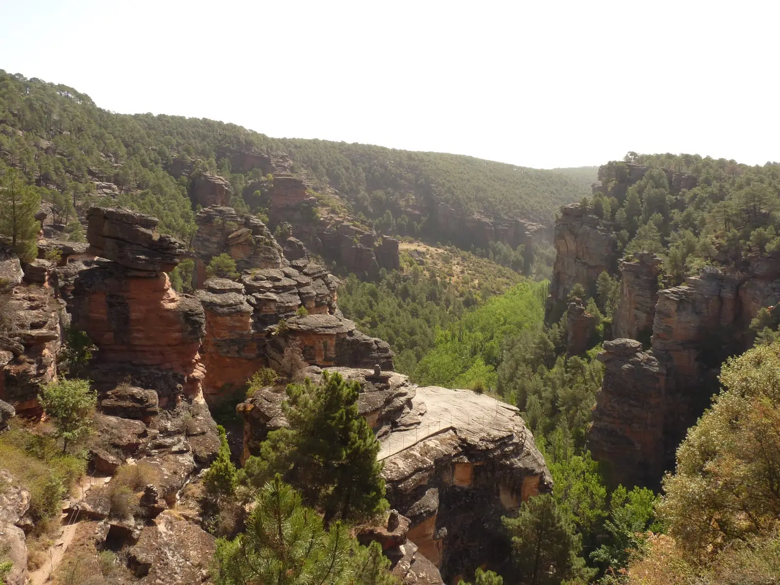
Ventosa is a village in the Señorío de Molina at around 1,150 metres, near Corduente. Legend says a youth from Ventosa found the image of Virgen de la Hoz in 1129. A route leads above the Barranco de la Hoz canyon for rare overhead views.
Rivers and basins
The thread of water from Ventosa
Follow these watercourses towards their confluences, villages, and basin history.
Traces in the village and its surroundings
Which eras you can read here
A single place can preserve traces from different eras. These layers connect what you see with the stories in the atlas.
Places in and around Ventosa
Sanctuary of the Virgen de la Hoz: the hermitage beneath red cliffs
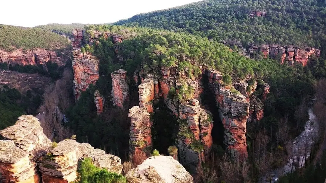
Corduente, VentosaBarranco de la Hoz: the red canyon of the Gallo River
Corduente, Ventosa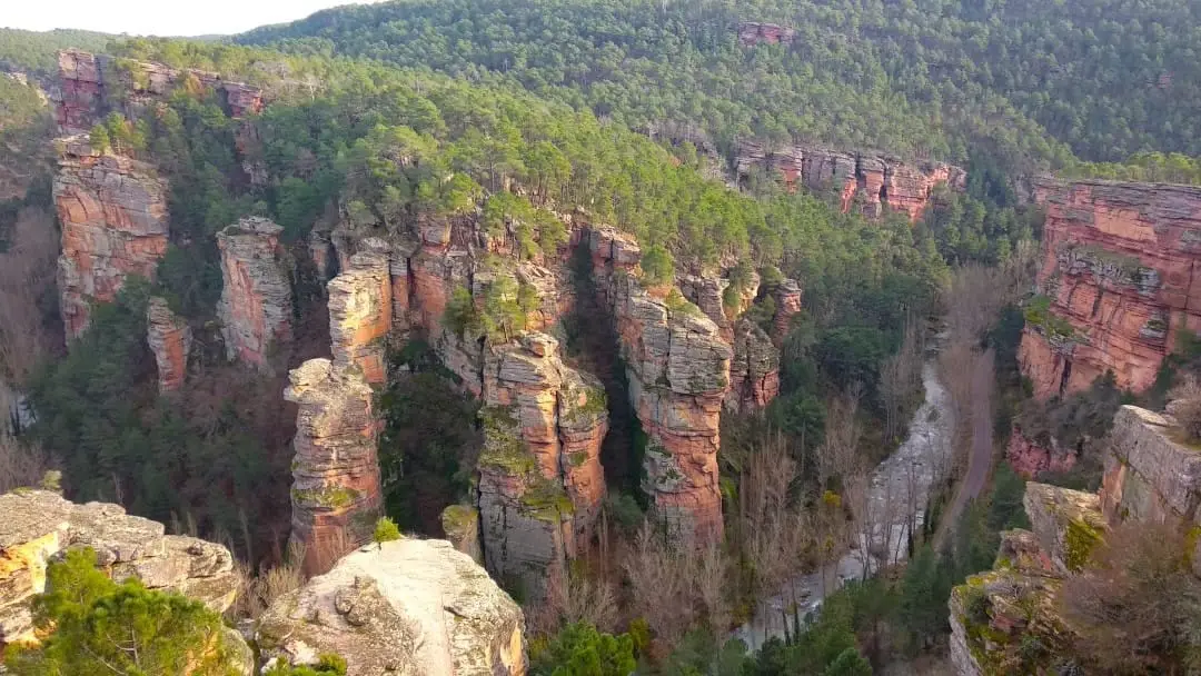
Barranco de la Hoz viewpoint: aerial panorama of the red canyon
Corduente, Ventosa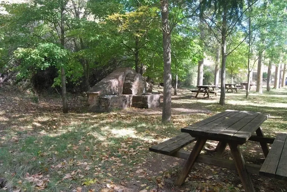
Barranco de la Hoz recreation area
Corduente, VentosaRoutes linked to Ventosa
Near Ventosa
El Huso: the stone monolith of Barranco de la Hoz
Corduente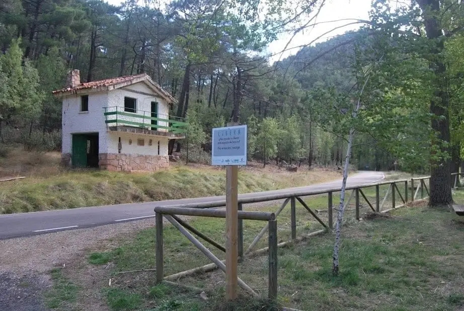
Huelga Merendera recreation area (Barranco de la Hoz)
CorduenteCasa Forestal recreation area (Corduente)
Corduente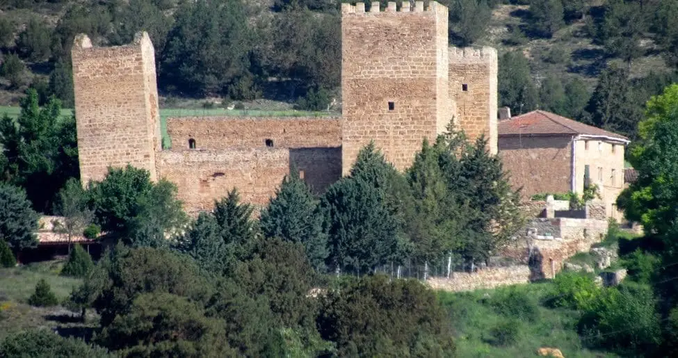
Castle of Santiuste (Corduente): the 15th-century fortified house
Corduente
Dehesa de Corduente Visitor Centre
Corduente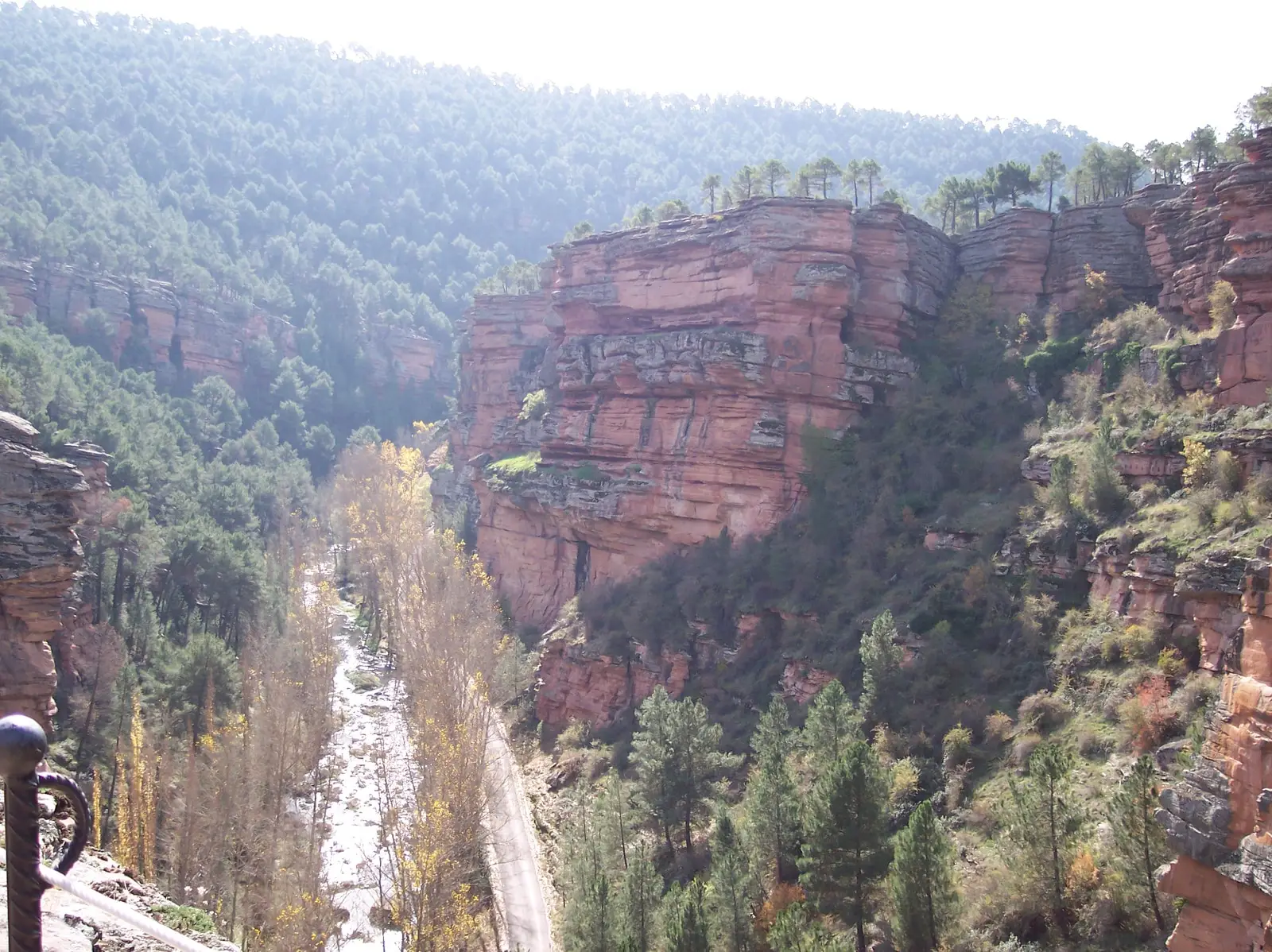
Trail 8: El Rodenal de Corduente
9 km · 3 h · CircularVentosa has no separate census: its residents are recorded under the municipality of Corduente.
Climate in Ventosa month by month
2015–2024 averages from Copernicus ERA5 reanalysis for an altitude of approx. 1,151 m. Useful for planning, not a substitute for live forecasts.
Location
● Reference point · ● Villages · ● Places
Location diagram. Detailed map with tracks and names loads on zoom.
Reference villages: Corduente · Valhermoso · Torete · Lebrancón.
Open the full map and historical layers →