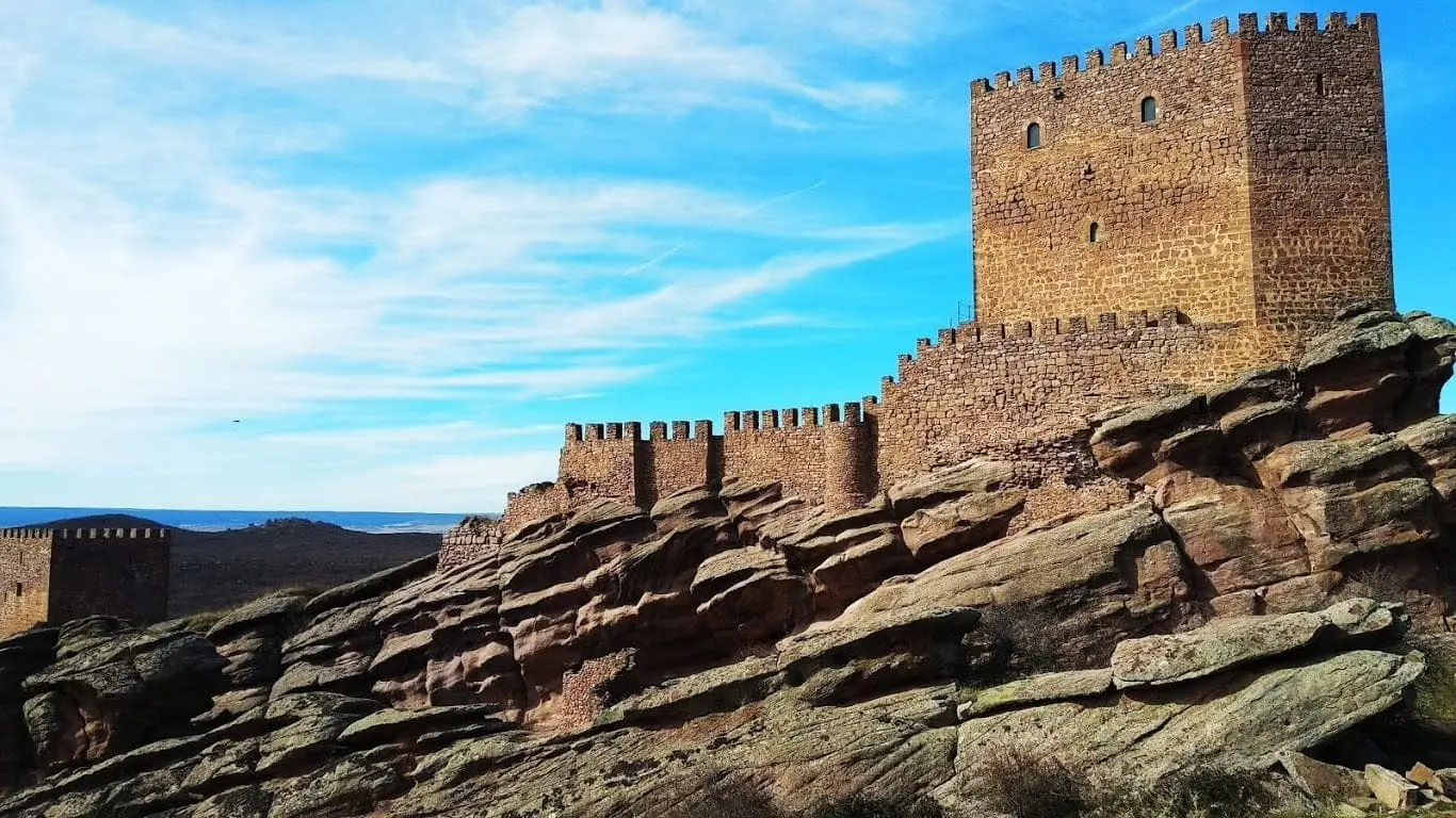
Historical land · territorial memory
Four sexmas, one shared homeland
Campo, Pedregal, Sabinar, and Sierra: the land of Molina, endowed with its charter in 1154, was governed as four sexmas until 1813 and still manages communal forestry assets.
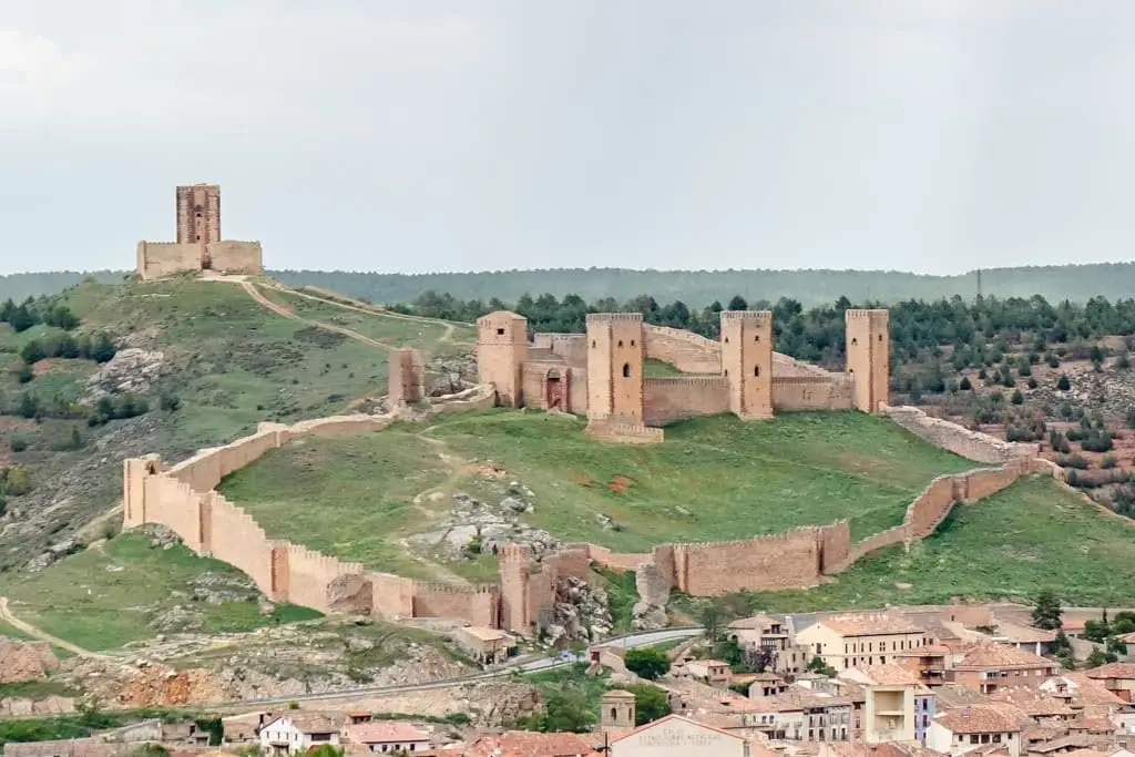
Molina and its rural hamlets shared mountain pastures, forests, and river rights. Ruled under an independent charter since 1154, the territory was divided into four administrative sexmas—Campo, Pedregal, Sabinar, and Sierra—which endured until 1813. Each sexma elected delegates to the General Council of the Realm and was further subdivided into veintenas, broadly corresponding to a village and its lands.
The Community of the Real Señorío de Molina and its Land continues to manage communal properties for its municipalities today, still structured by sexmas, and is recognized in regional statutes as a historic jurisdiction.
This was a land of transhumant livestock and arterial trading trails. By the 15th century it counted over half a million sheep, and Molina held renowned livestock fairs since medieval times. Between 1404 and 1407 it fought an extensive legal boundary case against Albarracín over Sierra Molina, thirty kilometres of shared mountain commons.
Stories to read this land
12th century – 1960
The Campo: fair and royal road
Molina held livestock fairs since medieval times. Wool and salt moved along the Camino Real between Madrid and Zaragoza, with dealers speaking the migaña trade cant.
Read the memory of trade fairs →Old trades – recent memories
The Campo: one village, Labros
Historical village records show Labros had 60 households (some 250 residents) in the 16th century, 268 in 1826, 194 after the Civil War, 73 in 1970, and 21 by 2000.
Read «What fits inside a roof tile» →Roman period – 20th century
The Pedregal: transhumance trails
Along the Señorío cañadas, great flocks migrated south every autumn to Sierra Morena and the Alcudia valley. Many are designated long-distance footpaths today.
Follow the ancient trails →Middle Ages – 1960s
The Sabinar: juniper bough shelters
Escalera, Lebrancón, and Olmeda de Cobeta preserve, together with Ablanque, the most exceptional groupings of traditional juniper chozones.
Read the pastoral memory →1940 – 1975
The Sierra: seasons and landmarks
In Orea, Checa, Alustante, and Motos the communal calendar governed everything: closing pastures with thorn barriers and opening commons simultaneously.
Read a year in the mountains →Villages to follow the thread from
Every name opens its locations and memories, leading to other readings of the territory.
Traces on the ground
These places connect stories with what endures. Their guides allow you to locate them on the map and explore them in person.
Castle of Molina de Aragón: 12th-century fortress and Torre de Aragón
Molina de Aragón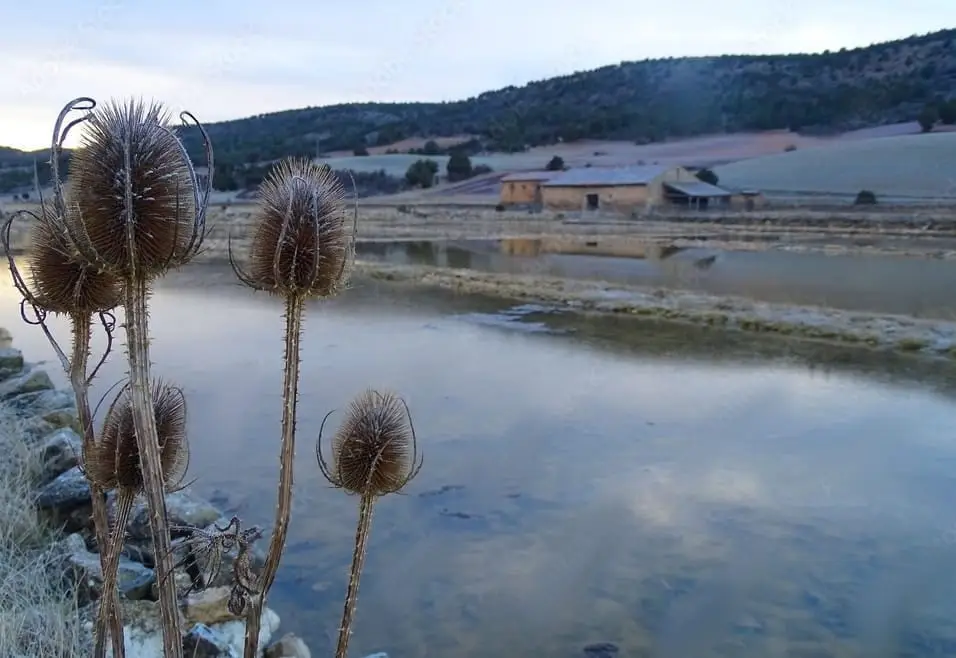
Armallá Salt Pans (Tierzo): Salt of the Señorío Since Roman Times
Tierzo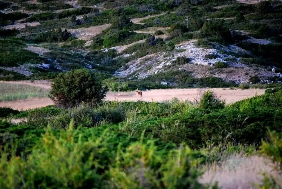
Sierra Molina: Ancient Dehesa of Transhumance
Checa