Alto Tajo · 17 places
Protected areas of Alto Tajo and the Lordship of Molina
Alto Tajo and the Lordship of Molina combine almost every protection category: a Natural Park exceeding 105,000 hectares, a UNESCO Global Geopark, Natura 2000 sites for birds and habitats, Natural Monuments, a microreserve and a river reserve. Each protects different things and has its own rules. This page explains what and where they are.
A land with many layers of protection
Each protection category cares for something specific: a canyon, birds, a rock type, a rare plant or a clean river. Categories overlap in Alto Tajo and Molina: one place may belong to the Natural Park, Natura 2000 and the Geopark together.
Alto Tajo Natural Park
The territory’s main protected area was designated under Castilla-La Mancha’s Law 1/2000, covering around 105,721 hectares in Guadalajara and Cuenca. It protects the region’s most extensive river-canyon system, among Spain’s most important: the Tagus and tributaries with pine and juniper woods, riversides and cliffs full of birds of prey.
Basic rules from the official visitor guide:
- Camping and fires are prohibited. From June to September, smoking and gas cooking are also prohibited in woodland.
- Bivouacking is permitted along official routes for groups of up to ten; shelters allow only one consecutive night.
- Overnight vehicle stays are prohibited except motorhomes and campervans in designated Puente de San Pedro areas. Forest tracks have a 30 km/h maximum; no off-road driving.
- Organised outings and races require Park authorisation. Climbing is limited to designated places; boating to the stretches and seasons specified by the Park.
- Mushroom gathering is regulated in many municipalities and requires a permit.
- Summer access and parking are managed at busy places; July and August require booking at canondeltajo.es.
During raptor breeding, some stretches may be restricted. Always check official route notices. Find official trails in routes.
Molina-Alto Tajo UNESCO Global Geopark
The Geopark is international recognition of the whole region’s geological history: over 4,100 km² and more than seventy municipalities. It joined the European and global geopark networks in 2014, becoming a UNESCO Global Geopark in 2015. It explains heritage through geological trails, panels and centres, helping sustain village life. The rock story appears in Before us; sites in geology.
Natura 2000: Europe’s birds and habitats
Natura 2000 is Europe’s protected-area network, with two categories often overlapping here:
- ZEPA, Special Protection Area for birds.
- ZEC, Special Area of Conservation for habitats and species. Before final designation these are LIC, Sites of Community Importance.
In the Señorío:
- Alto Tajo, largely overlapping the Park, chiefly protecting canyon birds and riverside forests.
- Parameras de Maranchón, Hoz del Mesa and Aragoncillo, around 49,400 hectares of cold plateau, among the last refuges of Dupont’s lark.
- Molina’s lagoons and plateaux, with thousands of seasonal pools, including Tortuera and La Yunta, where cranes rest.
- Alustante–Tordesilos creeping juniper woods, the region’s finest stand.
- Tajuña valley at Torrecuadrada, with limestone canyons and dry valleys.
Natural Monuments
A Natural Monument protects a particularly beautiful or unusual feature: a geological formation, source or landscape. The Señorío includes Sierra de Caldereros, designated in 2005 for red-sandstone towers and Pyrenean oaks, and Fuentelsaz’s stratotype, designated in 2017 for layers defining a geological boundary worldwide.
Nearby in the Alcarria and Serranía de Cuenca are Tetas de Viana, the Cuervo’s source, Muela Pinilla y del Puntal, Serrezuela de Valsalobre, Hoz de Beteta with Matasnos sink, and Lagunaseca’s sinkholes.
Microreserves and river reserves
Small categories protect delicate things:
- A microreserve protects rare plants or communities in a small area. Prados Húmedos at Torremocha del Pinar preserves wet meadows, matgrass swards and peatlands almost absent elsewhere in Castilla-La Mancha. Observe from paths.
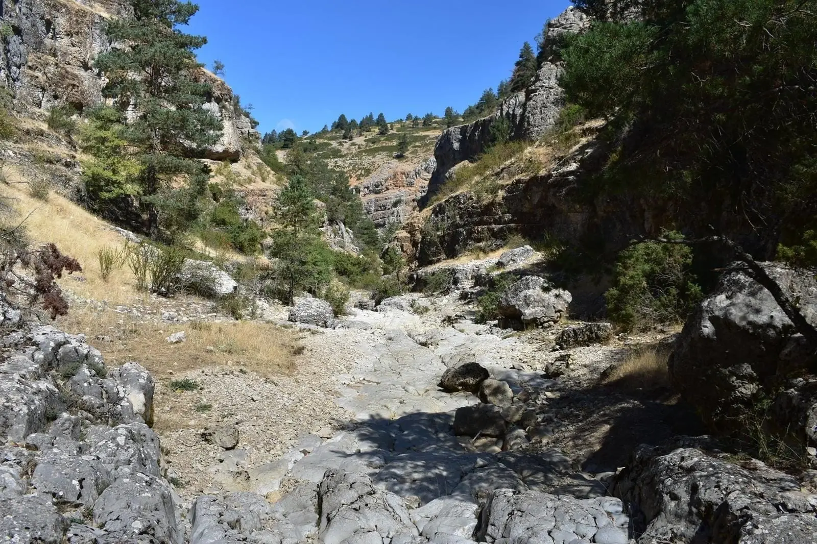
- A Natural River Reserve protects a nearly unaltered river. Rambla de las Sarguillas, a Hoz Seca tributary in Checa, is one.
Visiting
Stay on paths, leave nothing and take nothing, including plants, fossils and stones. Avoid disturbing wildlife, especially in spring, and consult official notices. Full rules appear in the Park’s management plan and Castilla-La Mancha’s Protected Areas Network website.
Traces to keep reading
These places connect the theme with the territory’s stories. Choose a trace and open its page to follow the story.
- Hoz de Beteta: An area with its own visiting conditions.
- Source of the Cuervo: Another outing in the Serranía de Cuenca.
- Sierra de Caldereros: Combine rocky landscapes and Zafra’s exterior.
This landscape through layers of time
The places in this theme preserve traces of these eras. A single place can appear in several.
All places (17)
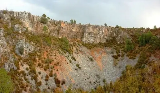
Torcas de Lagunaseca: The Lesser-Known Karst of Cuenca
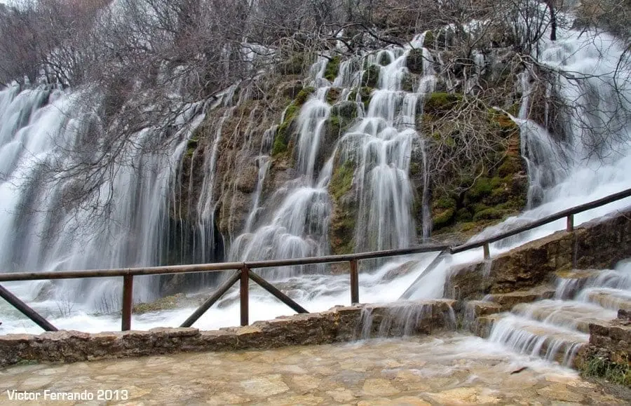
Nacimiento del Río Cuervo: tufa waterfalls in Vega del Codorno
Vega del Codorno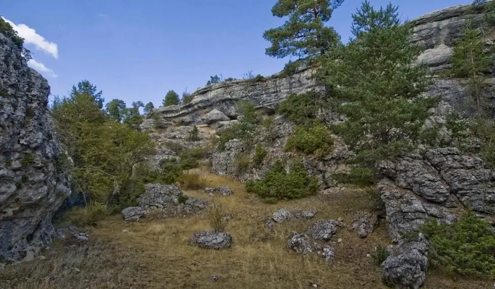
Muela Pinilla y del Puntal: Natural Monument in Masegosa
Masegosa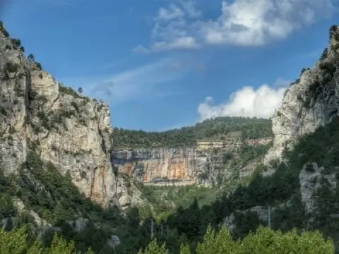
Hoz de Beteta: the Guadiela canyon in the Serranía de Cuenca
Beteta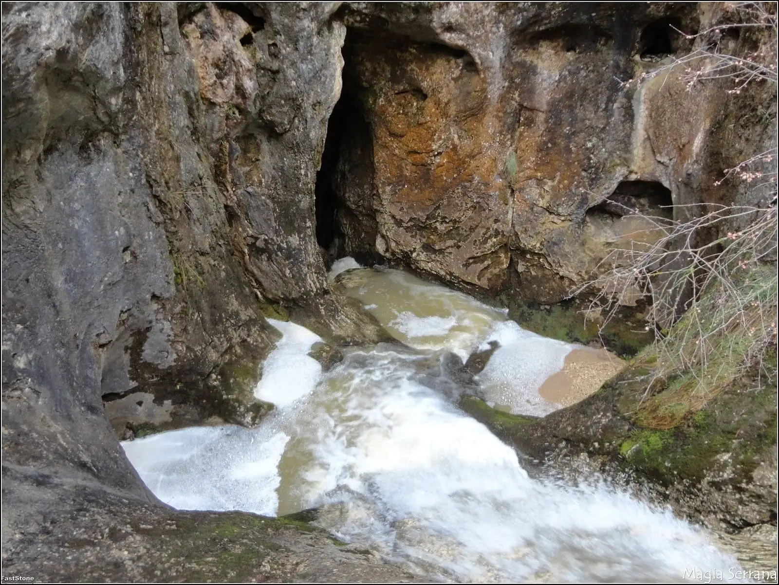
Matasnos Sinkhole: where a stream plunges 122 metres underground
Carrascosa de la Sierra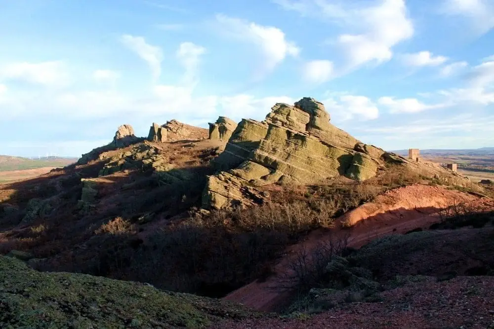
Sierra de Caldereros: Red Sandstone and Zafra Castle
Rambla de las Sarguillas: River Nature Reserve
Checa
Serrezuela de Valsalobre: The Densest Chasm Area in Spain
Valsalobre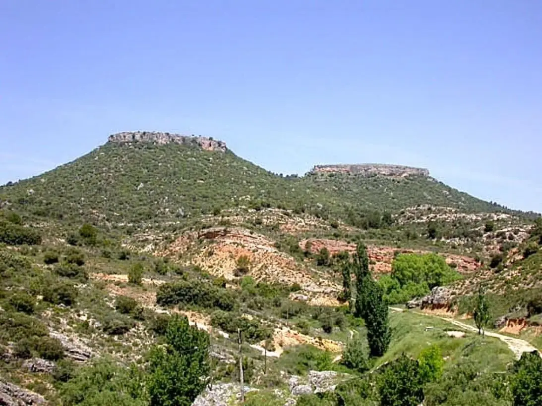
Tetas de Viana: The Twin Hills of Trillo
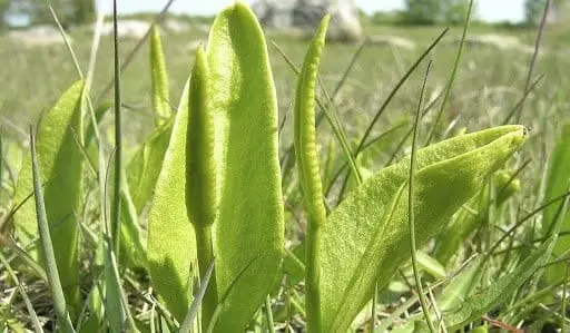
Wet Meadows Micro-Reserve (Torremocha del Pinar)
Torremocha del Pinar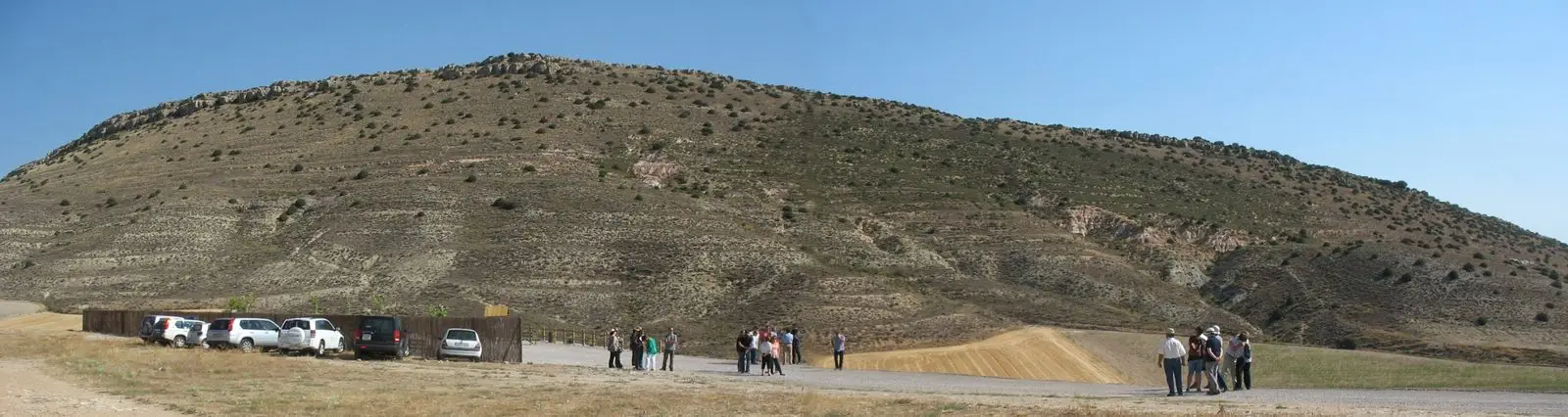
Fuentelsaz Stratotype: a global geological reference standard
Fuentelsaz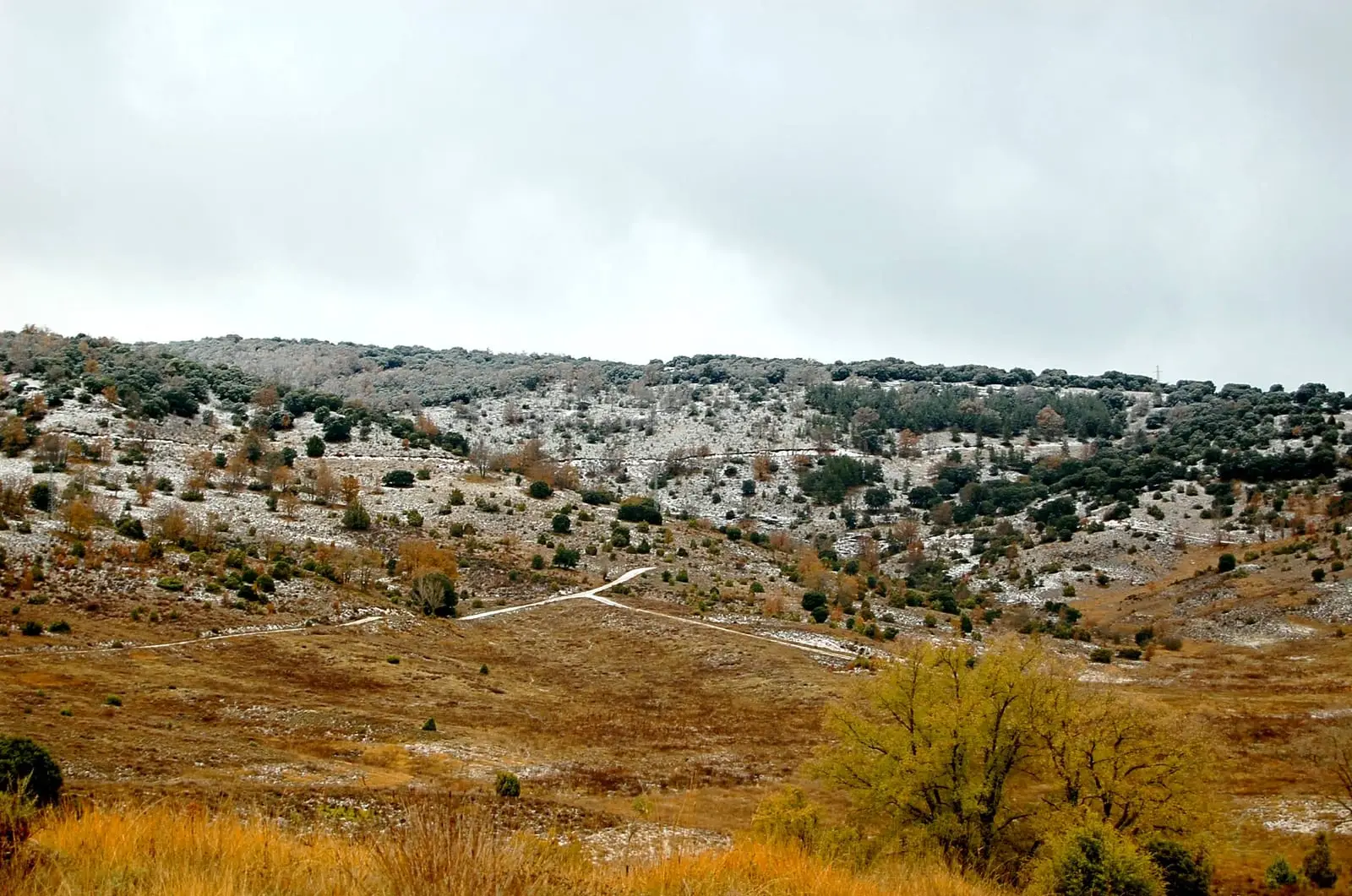
Tajuña Valley in Torrecuadrada: Protected Karstic Canyons
Torrecuadradilla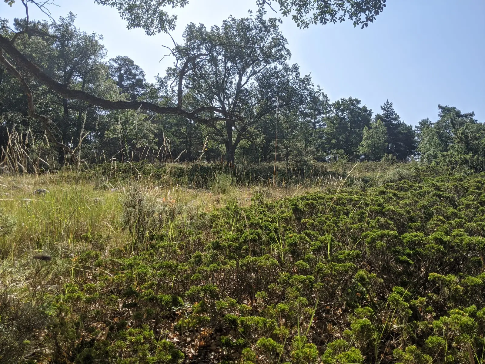
Prostrate juniper woodlands of Alustante-Tordesilos
AlustanteLagoons of La Yunta: cranes and steppe birds near Gallocanta
La YuntaLagoons of Tortuera: the wetland trail of the high plateau
TortueraParameras de Maranchón, Hoz del Mesa, and Aragoncillo: land of Dupont's lark
MaranchónLagunas y parameras del Señorío de Molina: Natura 2000 wetland plains
TortueraFrequently asked questions
How do the Natural Park and Geopark differ?
Alto Tajo Natural Park is legally protected, with use rules: camping and fires are prohibited, and some activities require permission. UNESCO Global Geopark is international recognition of Molina-Alto Tajo’s geological history; it adds no prohibitions and promotes care and understanding of that heritage.
Can you camp in Alto Tajo Natural Park?
Camping is prohibited. Bivouacking is permitted along official routes for groups of up to ten; shelters allow only one consecutive night. Some councils manage group camps. Overnight stays in vehicles are prohibited except motorhomes and campervans in designated Puente de San Pedro areas.
What is a ZEPA?
A Special Protection Area for birds within Europe’s Natura 2000 network. In the Señorío these chiefly protect cliff birds such as Bonelli’s eagle and plateau birds such as Dupont’s lark.
Why are some areas closed in spring?
Cliffs hold breeding birds sensitive to disturbance, including endangered Bonelli’s eagle. The Park may restrict access, climbing or boating during breeding. Check official notices before visiting.