Barranco de la Hoz: the red canyon of the Gallo River
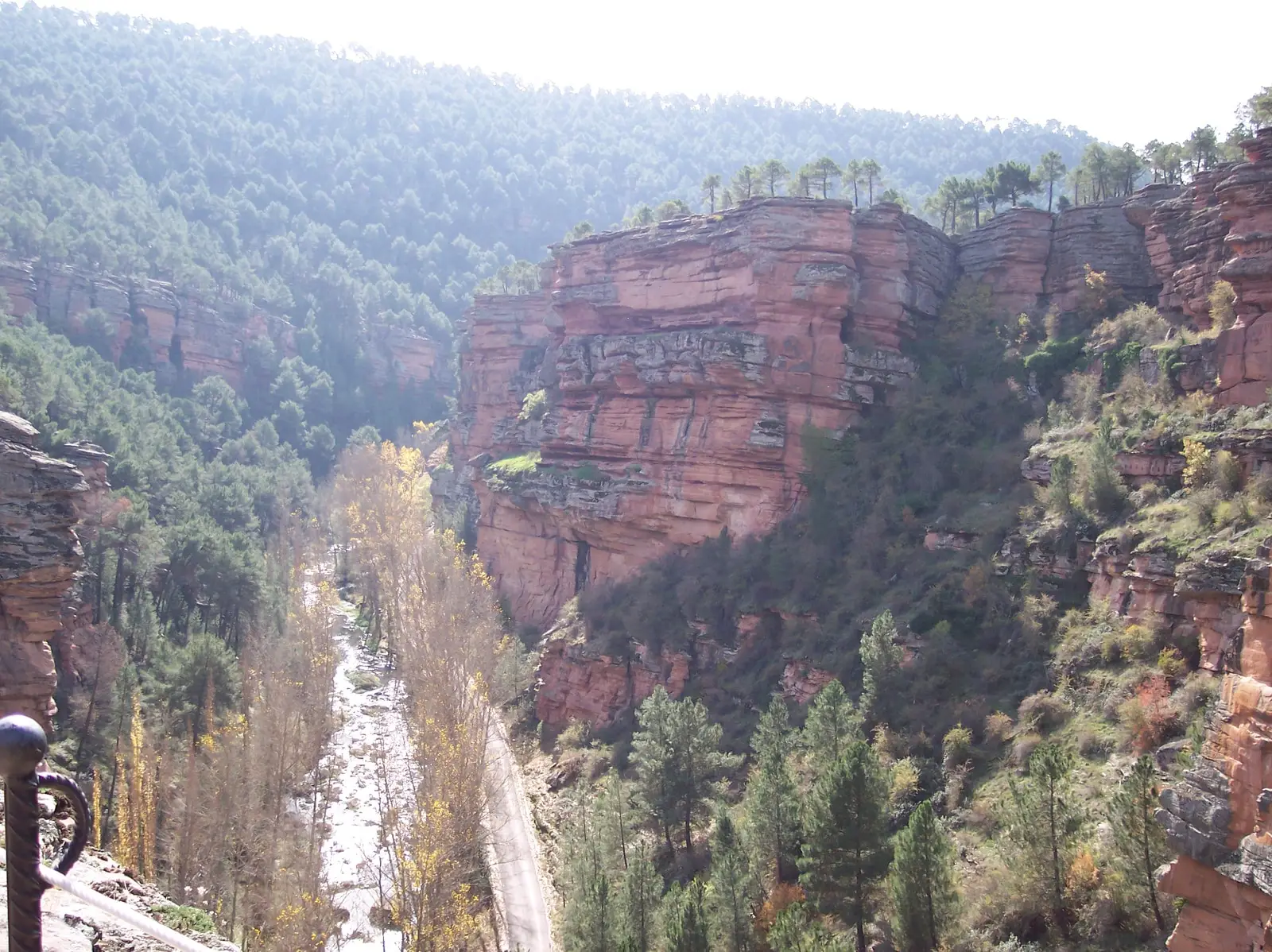
Barranco de la Hoz is a canyon of reddish cliff walls hundreds of metres high carved by the Gallo River between Corduente and Ventosa. Its sandstones and conglomerates preserve 250 million years of Earth history as an international Geosite, housing Virgen de la Hoz sanctuary.
Rivers and basins
The thread of water from Barranco de la Hoz: the red canyon of the Gallo River
Follow these watercourses towards their confluences, villages, and basin history.
This place across time
Which eras you can read here
A single place can preserve traces from different eras. These layers connect what you see with the stories in the atlas.
- Best season
- All year
- Municipality
- Corduente
- Province
- Guadalajara
- Altitude
- 1,081 m
- Geosite
- Sanctuary of Virgen de la Hoz
- Gallo River
- Birds of prey
- Road access
A canyon changing colour with the light
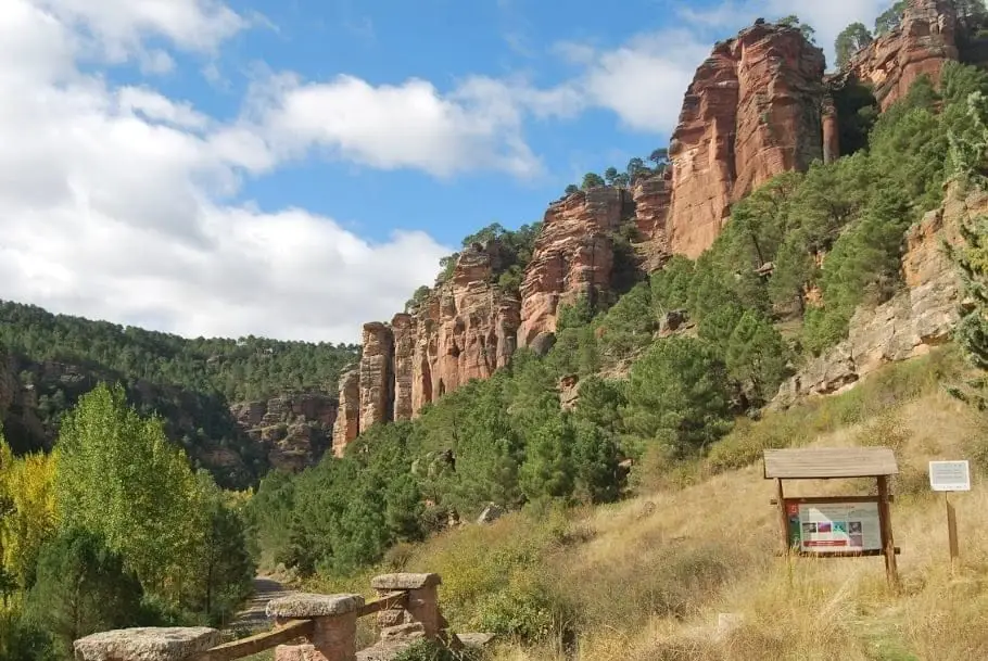
The first striking impression on entering the gorge is its colour. The cliff faces are formed of reddish sandstones and conglomerates sculpted by erosion into spires, towers, and ledges. The Gallo River flows along the floor among black poplars and willows, accompanied by the road, unveiling the scenery bend by bend.
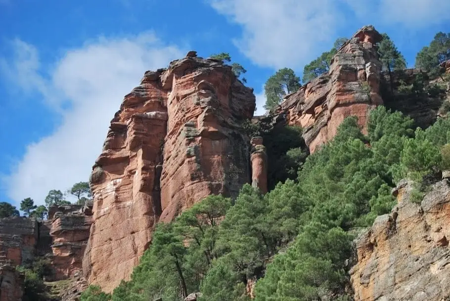
Distinctive formations bear traditional names: El Huso (The Spindle), a slender needle; La Rueca (The Distaff), a mass opposite the sanctuary; and La Cobertera, a slab projecting daringly over the hermitage courtyard.
An open book of geology
The cliff ramparts display exceptional rock strata recording Earth’s climate roughly 250 million years ago during the transition into the Triassic period. Consequently, Barranco de la Hoz is listed among Spain’s Geosites (geological sites of global significance) and forms a cornerstone of the Molina-Alto Tajo Geopark.
Cliffside life
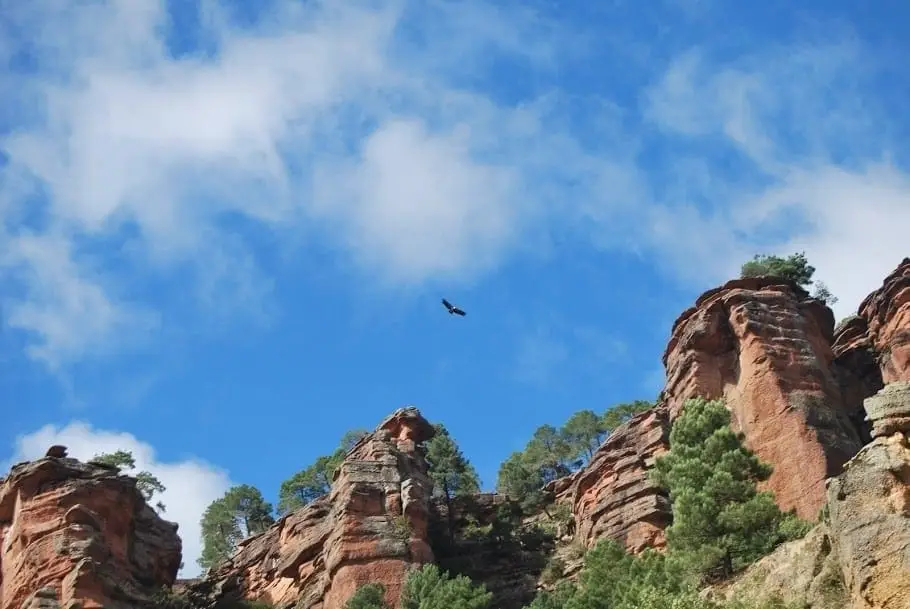
The canyon runs roughly east to west, resulting in contrasting solar exposure between opposing walls. This divergence, paired with river moisture, multiplies microhabitats. Cliff-nesting raptors circle overhead, and slopes harbor one of the final populations of Delphinium fissum, a critically endangered larkspur.
The sanctuary
Midway through the canyon, nestled beneath overhanging rock, stands the sanctuary of Virgen de la Hoz, with its guesthouse built into the cliff and a small courtyard. It serves as the spiritual heart of the canyon and trailhead for walks.
Further exploration
- MTB Route 5 of the Natural Park traverses the canyon, linking it to Puente de San Pedro and Montesinos hermitage.
- Georuta 5 links the gorge with the geological folds of Cuevas Labradas.
- Recreation areas along the Gallo offer cool riverside shade.
Planning your visit
Devote part of your day to the canyon floor or expand your excursion with the cliff-top viewpoint. Road touring carries very different physical demands than the uphill walking trail.
Before travelling
Park in designated spots before walking. The climb to the viewpoint involves steps; during rain or ice consider remaining on the valley floor.
To combine
Continue to Molina de Aragón. Check its guide to decide if it fits into the same outing.
Photo: El Observario
Frequently asked questions
Where is Barranco de la Hoz located?
In the municipality of Corduente, beside Ventosa, along the road following the Gallo River from Corduente towards Torete, a few kilometres from Molina de Aragón.
Can you visit by car?
Yes. The road follows the canyon floor with several parking turnouts along it, at recreation areas and directly beside the sanctuary.
Why are the rocks red?
They are Triassic sandstones and conglomerates formed around 250 million years ago from river sediments. Iron oxide minerals give them this reddish hue, known locally as rodeno.
Location
● Reference point · ● Villages · ● Places
Location diagram. Detailed map with tracks and names loads on zoom.
Reference villages: Ventosa · Corduente · Torete · Valhermoso.
Open the full map and historical layers →Nearby routes
All routes →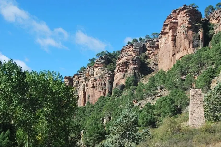
Geotrail 5: from Barranco de la Hoz to Cuevas Labradas
15 km · 4 h · Linear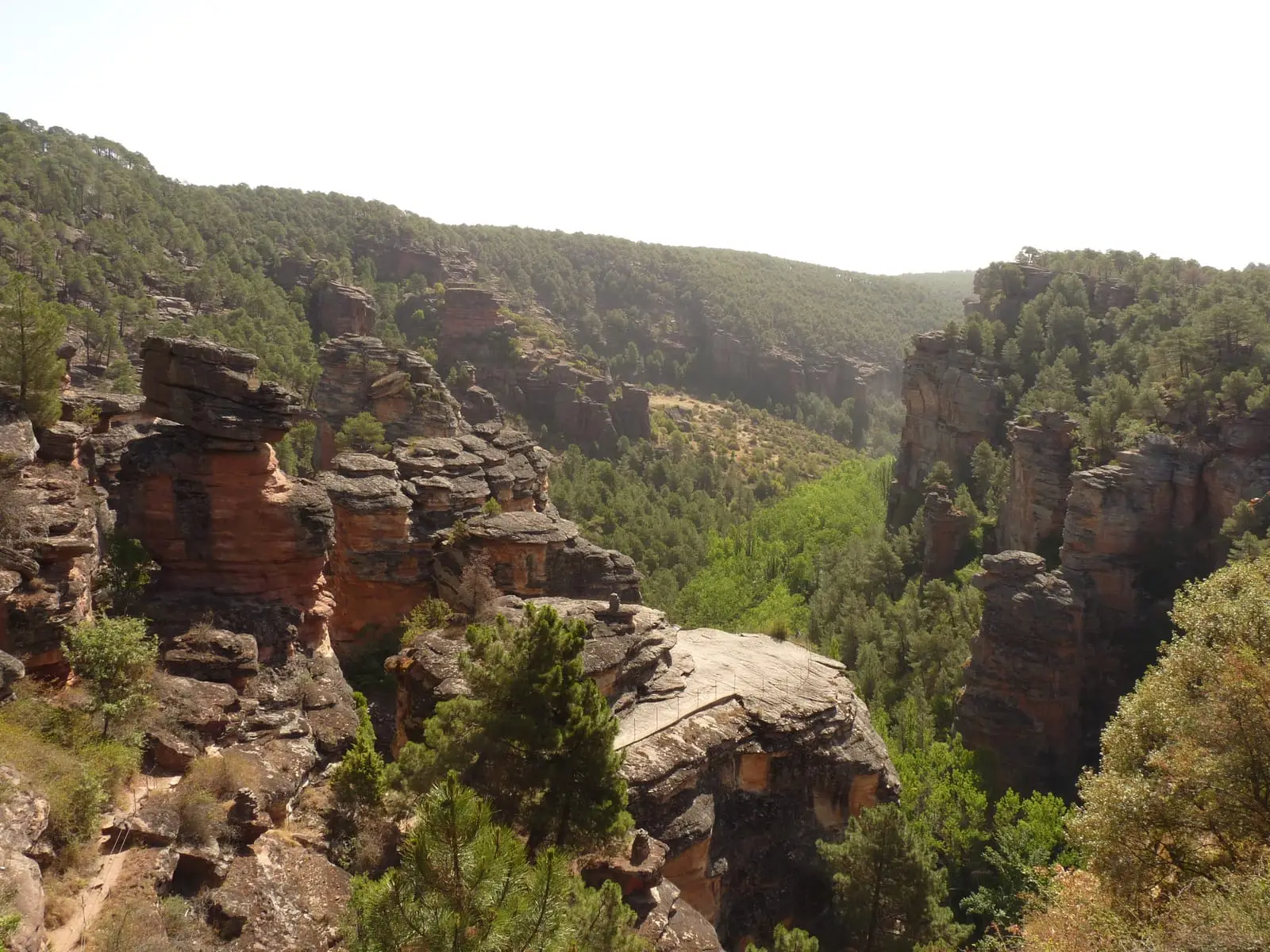
MTB route 5: Barranco de la Virgen de la Hoz (Gallo, Tagus, and Arandilla)
37 km · 8 h · Circular